#RA60
1879
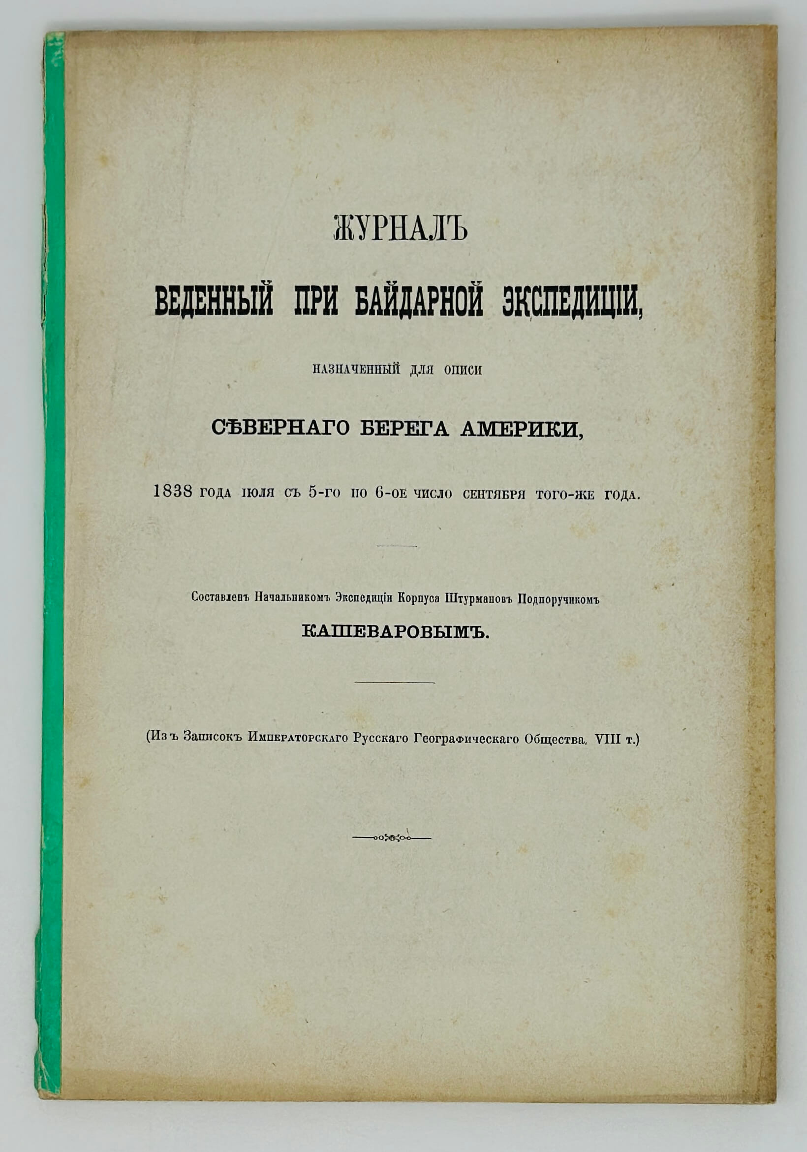
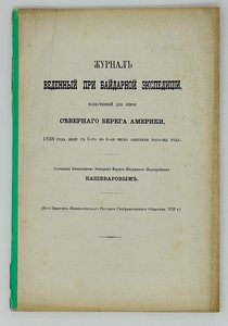
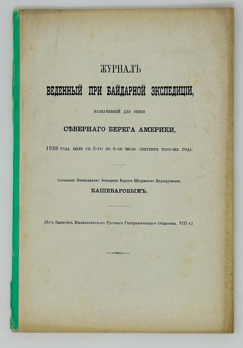
Large Octavo (ca. 23,5x16 cm). [1 – t.p.], 87 pp. No wrappers, spine strengthened with a thin strip of green paper. Paper slighty age-toned, but overall a very good copy.
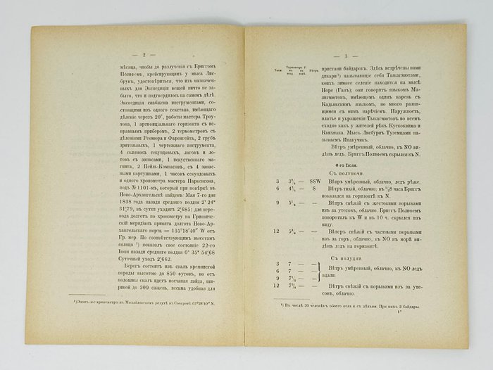
Very rare Russian imprint with no paper copies found in Worldcat. An extremely offprint of an article from the official magazine of the Russian Geographical Society, published in a limited number of copies (Zapiski Imperatorskogo Russkogo Geograficheskogo Obschestva po Obschei Geografii (Otdeleniyam Geografii Matematicheskoi i Fizicheskoi) [Notes of Imperial Russian Geographical Society on Geography in General. Department of Mathematical and Physical Geography]. 1879. Vol. 2, issue 2, pp. 275-361).
Extremely rare early important Russian publication, and an important piece of the history of exploration of the Northwest Passage. The journal records the Russian American Company’s kayak expedition in the summer of 1838, which went from Cape Lisburne to Point Barrow (the northernmost point of North America) and further east, in an attempt to fill the gap on the map of the Alaskan Arctic coast, left after the expeditions of Frederick Beechey (reached Point Barrow in 1826) and John Franklin (reached Gwydyr Bay west of the mouth of the Mackenzie River the same year). The organization of the expedition was caused by the growing activity of the British government and the Hudson’s Bay Company in the Arctic, too close to the borders of Russian America. In 1836, the project of the expedition was forwarded to the RAC’s Main Office by its former head and a famous explorer, Ferdinand von Wrangell and later by the first Russian circumnavigator, Adam von Krusenstern (See more: Istoriia Russkoi Ameriki/ Gen. Ed. N. Bolkhovitinov, M., 1999, vol. 3, pp. 95-96).
RAC appointed its officer Alexander Kashevarov as the expedition head. A native of Kodiak Island (a son of an Aleut mother and a Russian father), he was a seasoned navigator by that time. Kashevarov graduated from the Navigators School in Kronstadt and had already taken part in two Russian circumnavigations – on board the RAC corvette “Elena” (1829-1830) and naval transport ship “America” (1831) - both under the command of Lt. Vasily Khromchenko (1792-1849), a RAC officer and notable explorer of the Bering Sea.
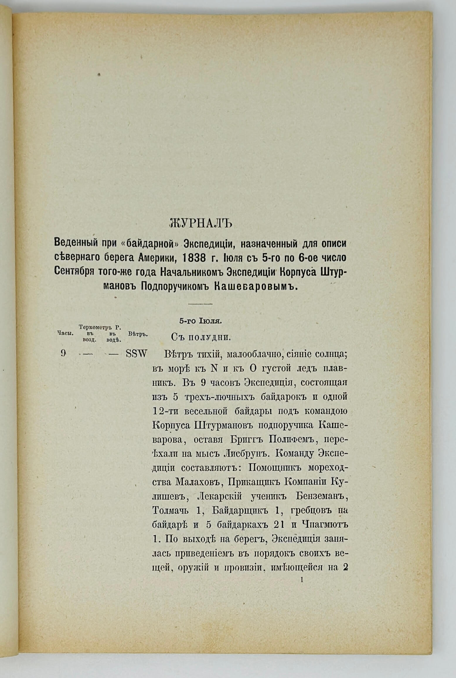
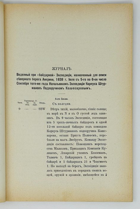
The expedition included 28 members, who travelled on one large “baidara” kayak and five smaller baidarka boats. The party left Redoubt St. Michael in the Norton Sound on board the Russian brig “Polyfem” which took them to Cape Lisburne north of the Kotzebue Sound. The expedition proceeded northeast on July 5. About a week later, Kashevarov left the baidara at the Icy Cape and went with the smaller boats, reaching Point Barrow on July 23. Two days later, and about 52 km (30 Italian miles) east of Point Barrow, they had to turn back due to the hostility of the natives, who thought the party would spread smallpox, and threatened to attack the travellers. On August 4, Kashevarov’s group reunited with the baidara’s crew and returned to Cape Lisburne and thence to Marryat Inlet and Kotzebue Sound, where on September 5, they were picked up by the “Polyfem.” During the expedition, Kashevarov’s party explored and mapped a stretch of the Arctic coast of Alaska, naming the entire coast east of Point Barrow as Prince Menshikov’s Land and several geographical objects - Prokofiev Bay (likely, modern-day Elson Lagoon), Point Stepovoy (likely, Christie Point), Kupreanov Bay (Dease Inlet), and Point Wrangell (Tangent Point). Despite this, the Russian names didn’t survive, as the area had been discovered a year earlier by the Hudson’s Bay Co’s expedition under the command of Peter Dease and Thomas Simpson (1836-1839), who completed the mapping of the Arctic coast of North America. In fact, Kashevarov’s expedition ended the period of Russian hydrographical exploration of the American Arctic (Istoriia Russkoi Ameriki… P. 96).
This excedingly rare offprint of the article from the Imperial Russian Geographical society was published in a small number of copies. The first English translation appeared only in 1977 (A.F. Kashevarov’s coastal exploration in Northwest Alaska, 1838/ Ed., Introd. By J.W. Vanstone, Transl. by D.H. Kraus. Chicago, Ill.: Field Museum of Natural History, 1977).
The journal includes a description of the coastline, geographical coordinates of newly-discovered objects, names of native settlements and tribes which the party contacted, notes on the number of people living in certain points, their language, occupations, the location of their winter and summer camps, data on the air and ocean water temperature, prevailing winds, the composition of sea ice, soil and permafrost, local flora, the number of reindeer, &c. There are also several referrals to the “map of Captain Beechey.”
Overall a historically important early publication of the results of Russian exploration of the Arctic coast of Alaska in the first half of the 19th century.

