


#PE91
Ca. 1946
Oblong Folio (ca. 38 x 29 cm or 15 x 11 ¼ in). 30 black stiff paper leaves. 205 mounted gelatin silver photographs from ca. 12.5 x 8.5 cm (5 x 3 ¼ in) to 8 x 6 cm (3 ¼ x 2 ¼ in); one gelatin silver photograph loosely inserted ca. 25 x 20 cm (9 ¾ x 7 ¾ in). At least 49 images with period pencil captions on verso. Period brown faux leather album fastened with string with blindstamped borders and gilt-stamped generic title “Photographs” on front board. Boards mildly rubbed on edges; mounts with minor tearing on extremities not affecting images; a few photos mildly faded, two photos previously removed from album, but overall a very good album of interesting photos.
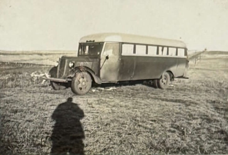
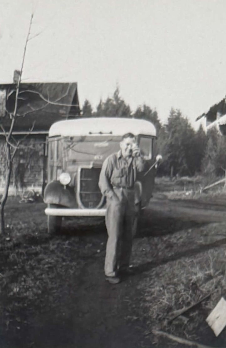
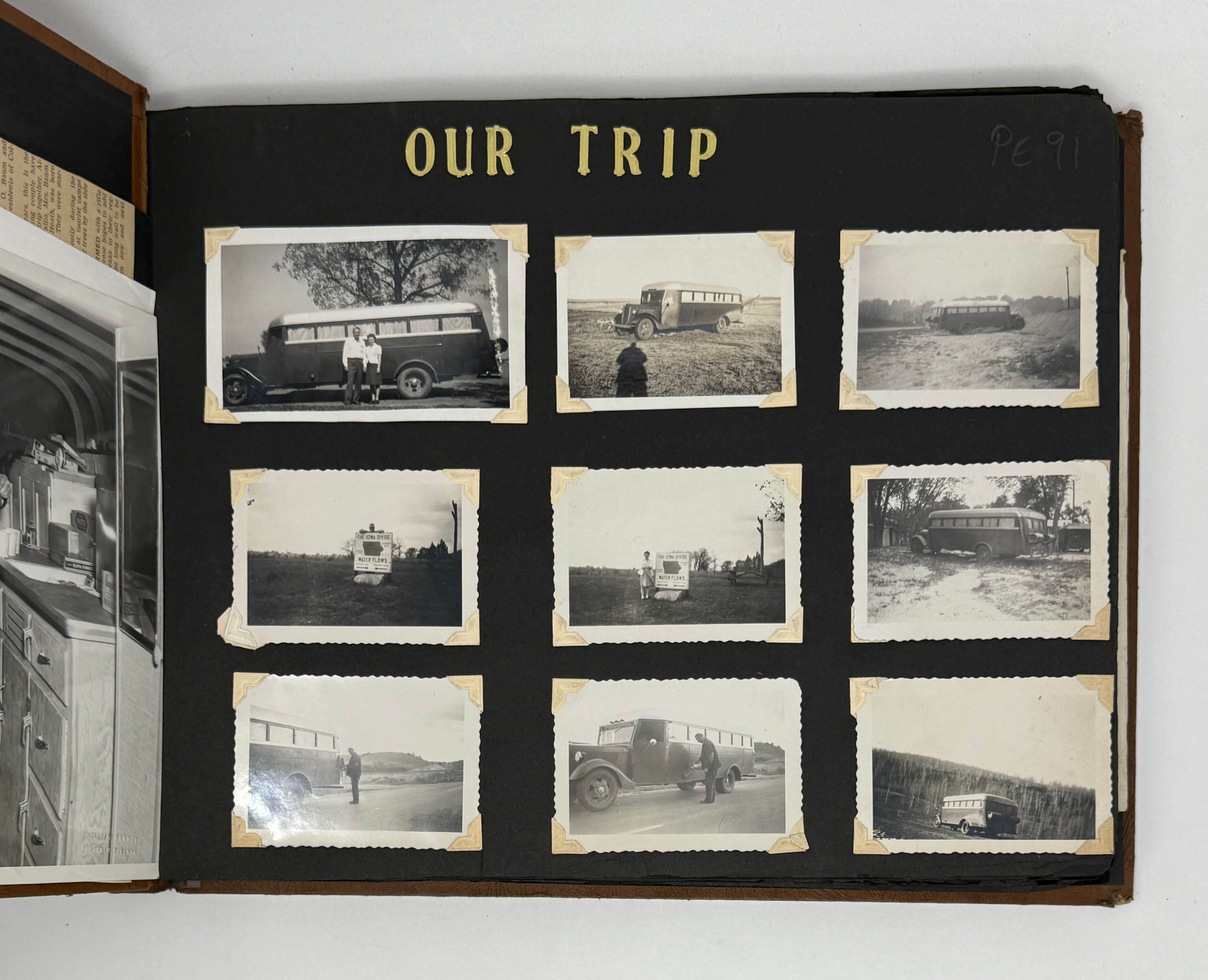
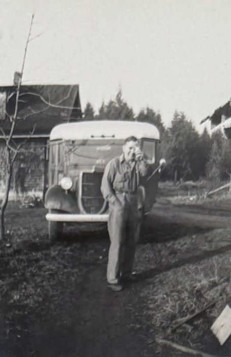
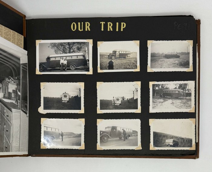
An interesting and lively collection of rare photographs showing a road trip on the Alaska Highway shortly after World War II. The compilers, married couple Howard and Thelma Baum, undertook a cross-continental road trip after the war with the intention of potentially settling in Fairbanks, Alaska. Using a modified bus, they traveled from Ohio, through the American Rockies, and up into Western Canada, before finally reaching their destination in Alaska. They then returned to the contiguous United States through Washington and California and likely settled in Florida instead. This trip was taken in late 1946, and they were on the Alaska Highway during early winter.
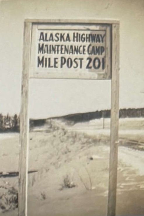
The Alaska Highway (Alaska-Canada Highway, ALCAN) was constructed in World War II, shortly after the US entered the war. Its purpose was to facilitate easy transportation to Alaska in case of Japanese invasion. Construction started and completed within the year of 1942, but the highway was not open for public use until 1948. It was infamous for being a rough drive until it was fully paved over in the 1980s
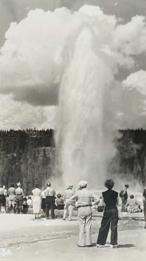
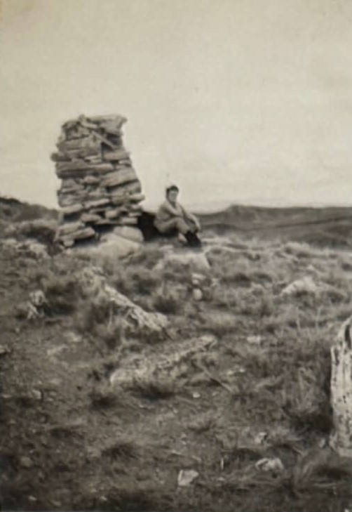
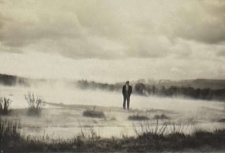
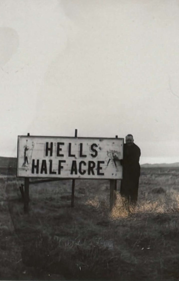
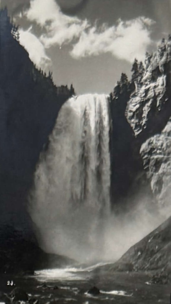
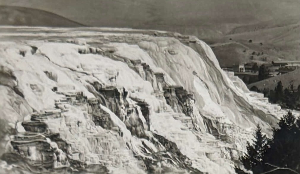
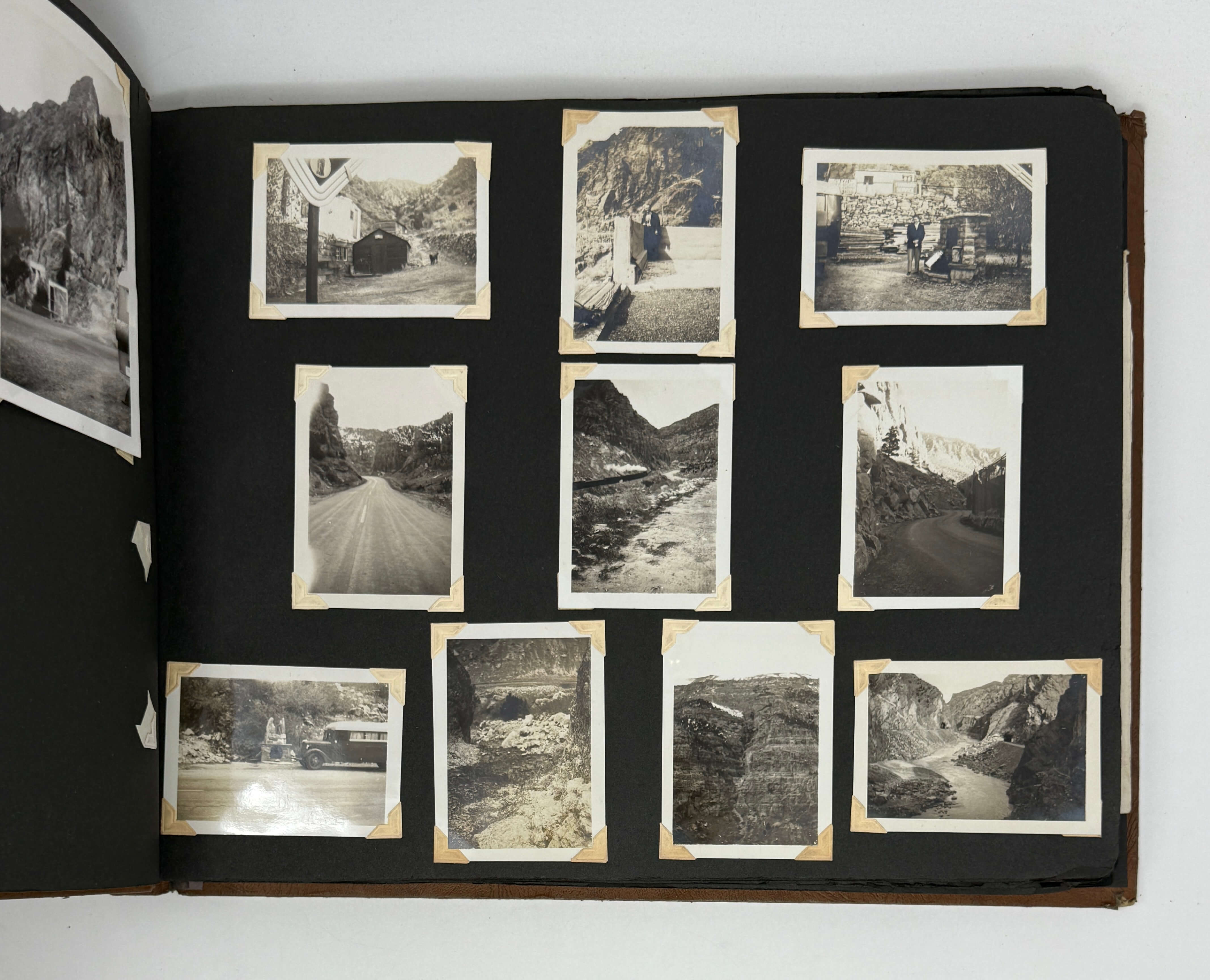
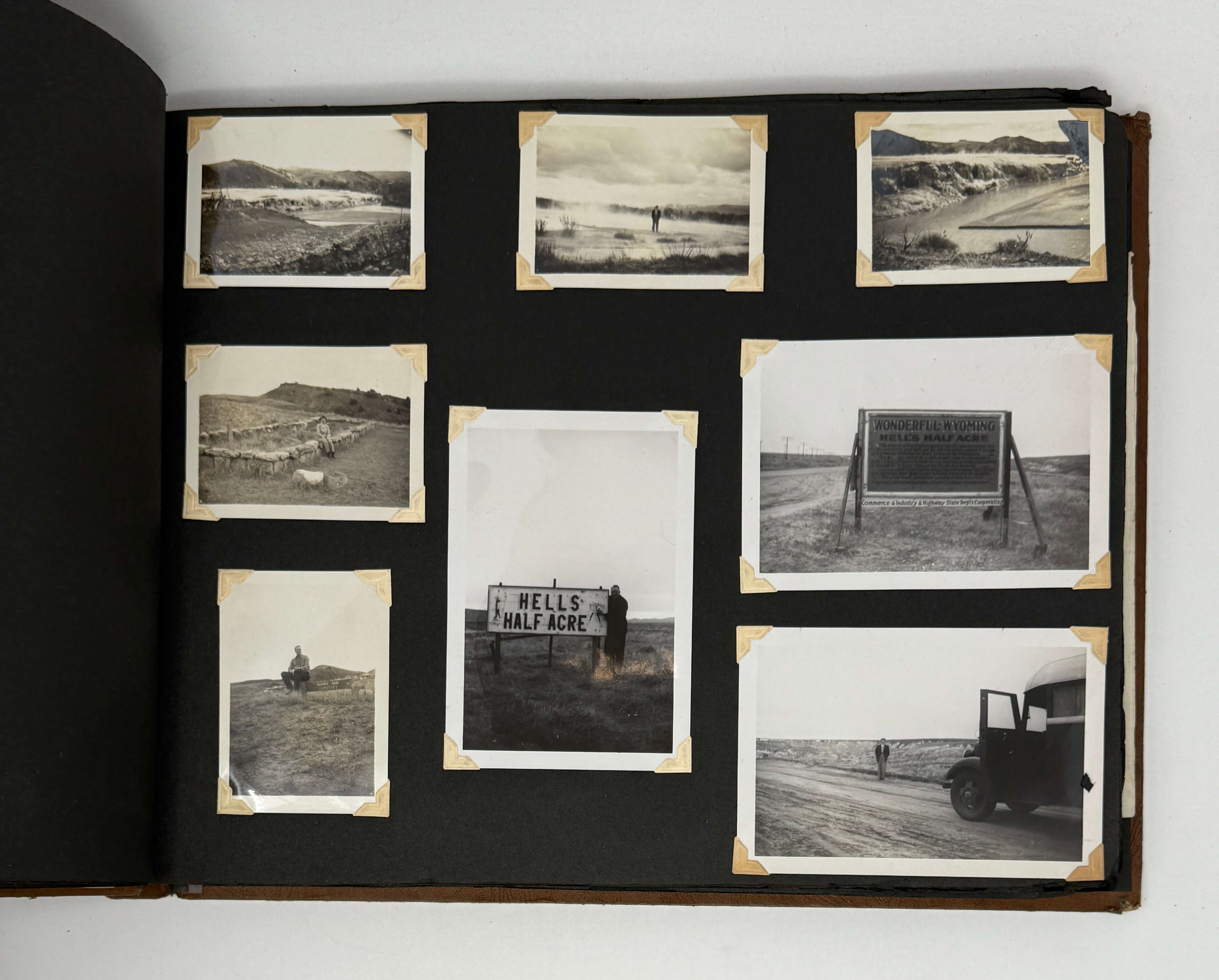
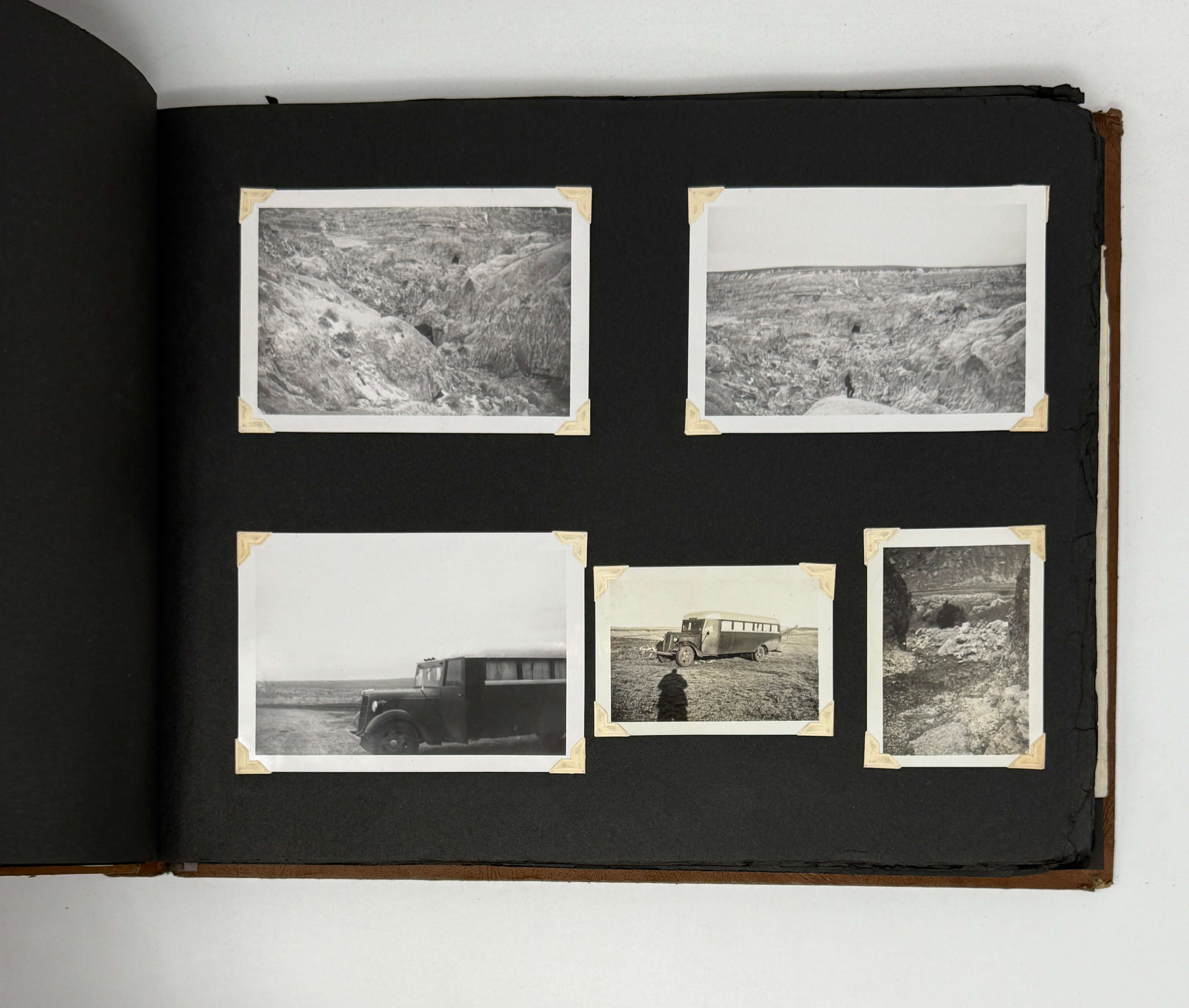
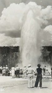
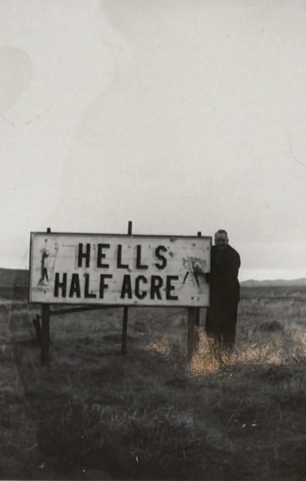
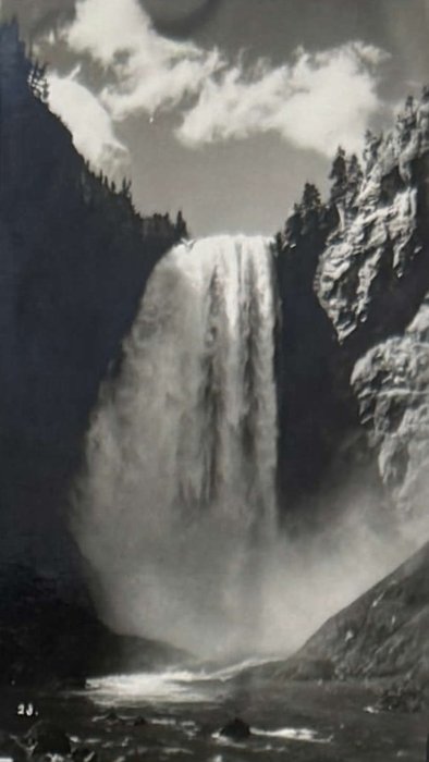
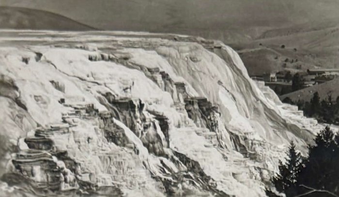
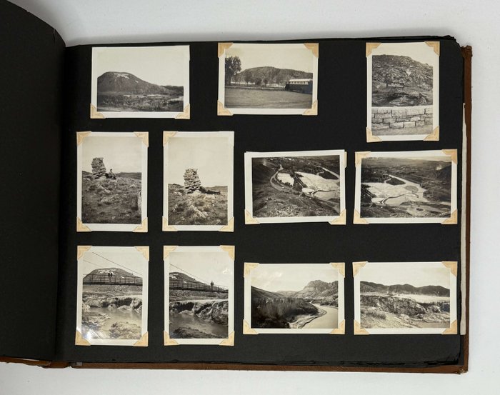
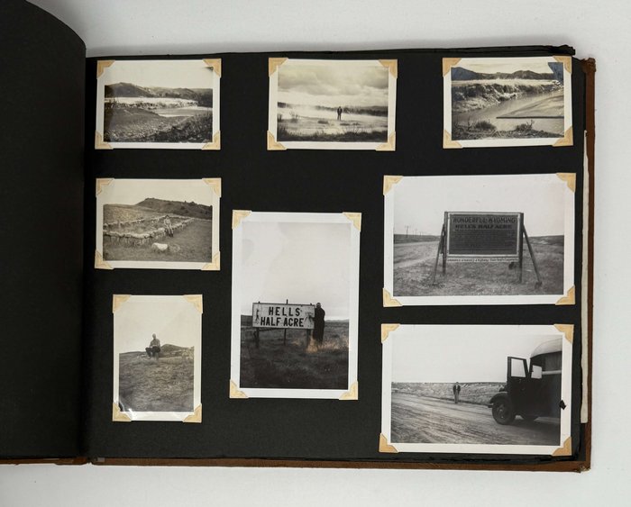
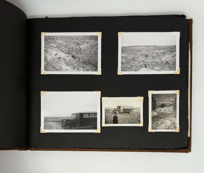
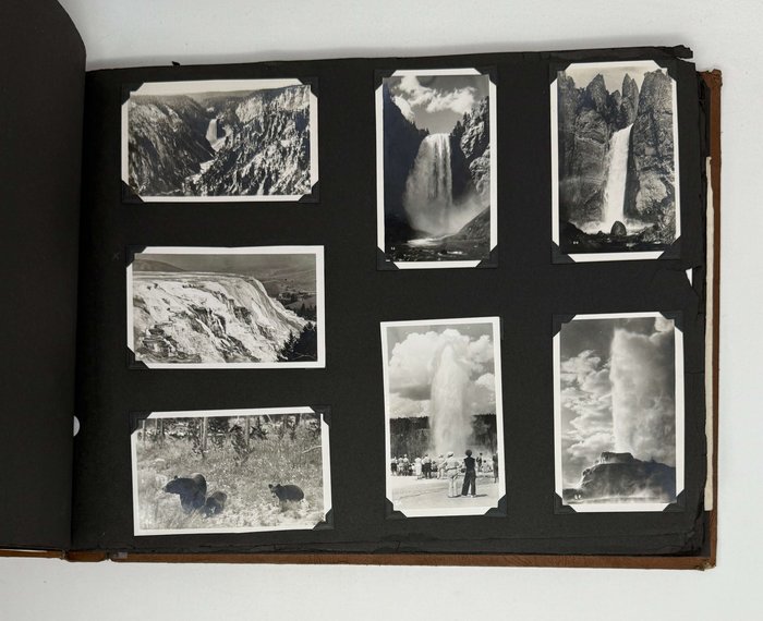
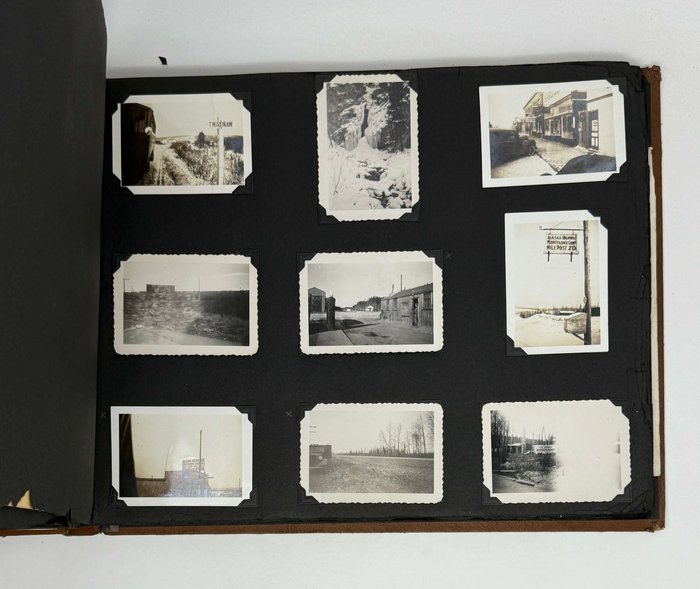
The album opens with a series of photographs showing the modified bus and compilers in Iowa. Following are photographs from roadside attractions in Wyoming (“World’s Largest Mineral Hot Spring,” Hell’s Half Acre, Yellowstone National Park) and Montana (Helena National Forest).
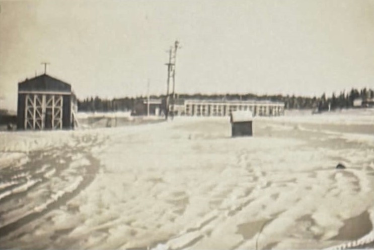
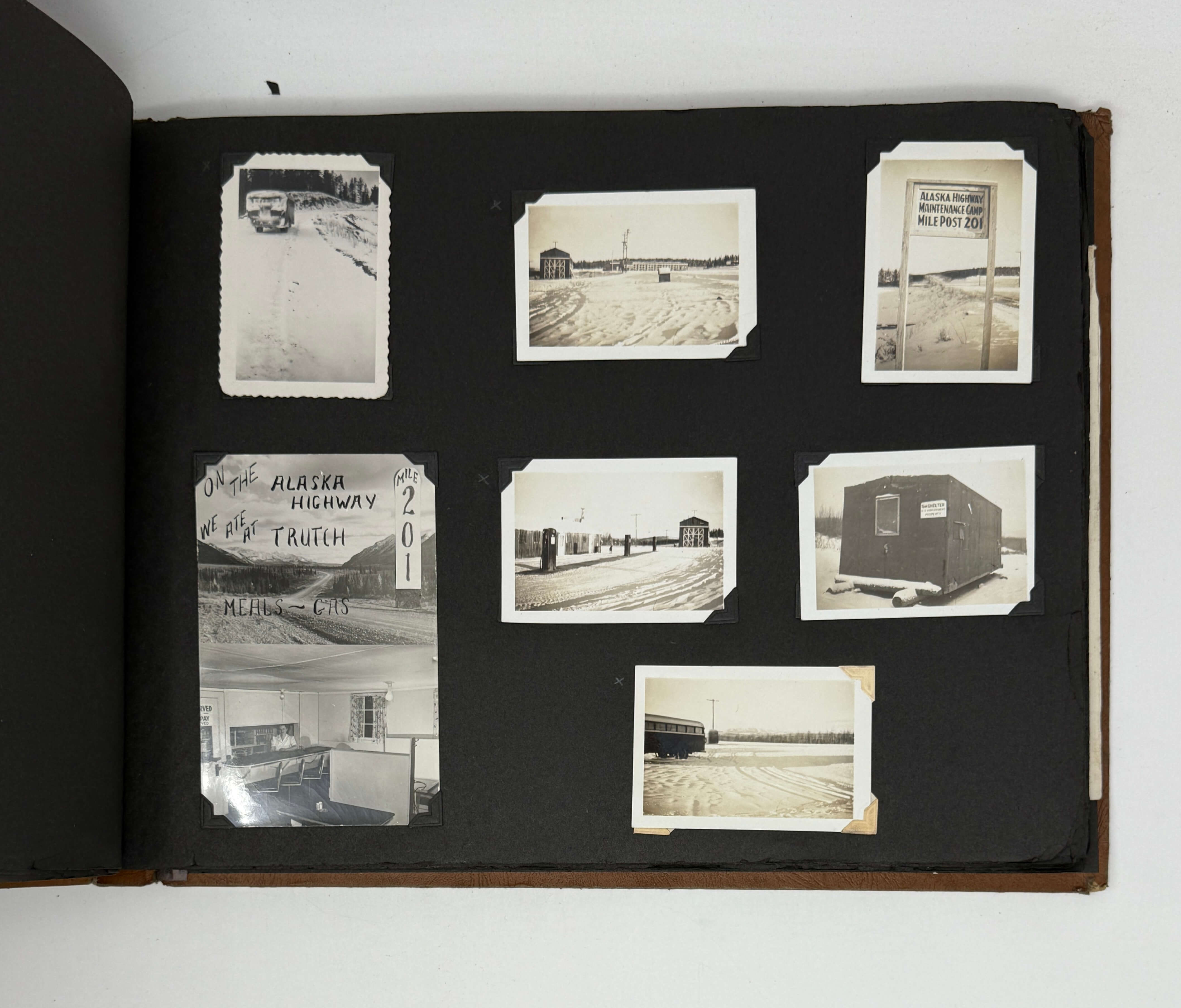
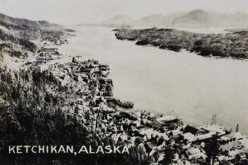
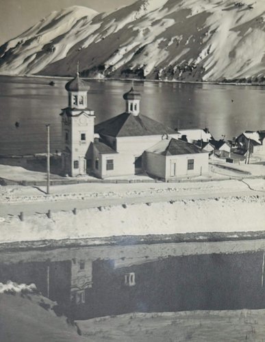
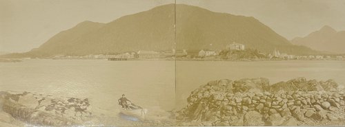
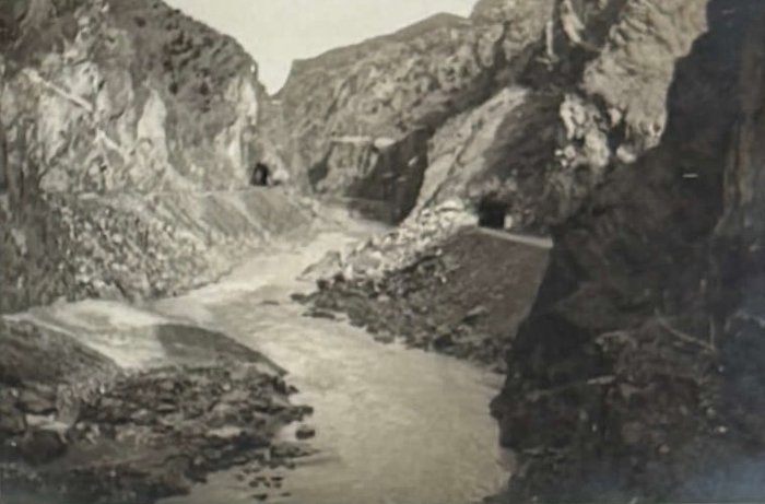
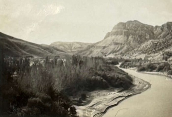
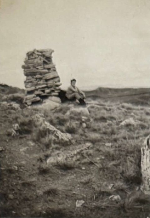
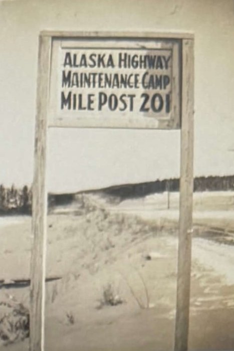
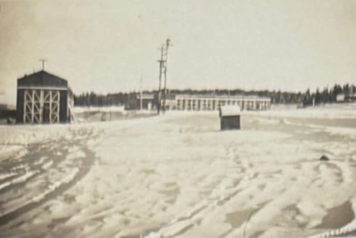
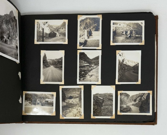
Over 100 photographs document the compilers’ trip on the Alaska Highway, starting in Fort St. John (British Columbia) and ending in Fairbanks (Alaska). They include signs along the road denoting river crossings (Peace, Canyon Creek, Contact Creek, Upper Liard, etc.), mile markers, and border crossings (British Columbia-Yukon, Yukon-Alaska, “End Alaska Military Highway”); service stations (“Alaska Highway Gasoline Outlet,” “tourist gas off highway” in Watson Creek); military installations (“US Army Rest Camp,” “Temp Shelter US Government Property,” RCAF Base in Fort Nelson); and rest stops (Fort St. John, Watson Creek, Trutch, “Dry Creek Hotel,” Fairbanks). Several photographs show the bus on the highway and road conditions, including a truck falling through ice, an overturned tanker truck, the compilers’ bus on a railcar bed, and “the only bad spot on the ALCAN.”
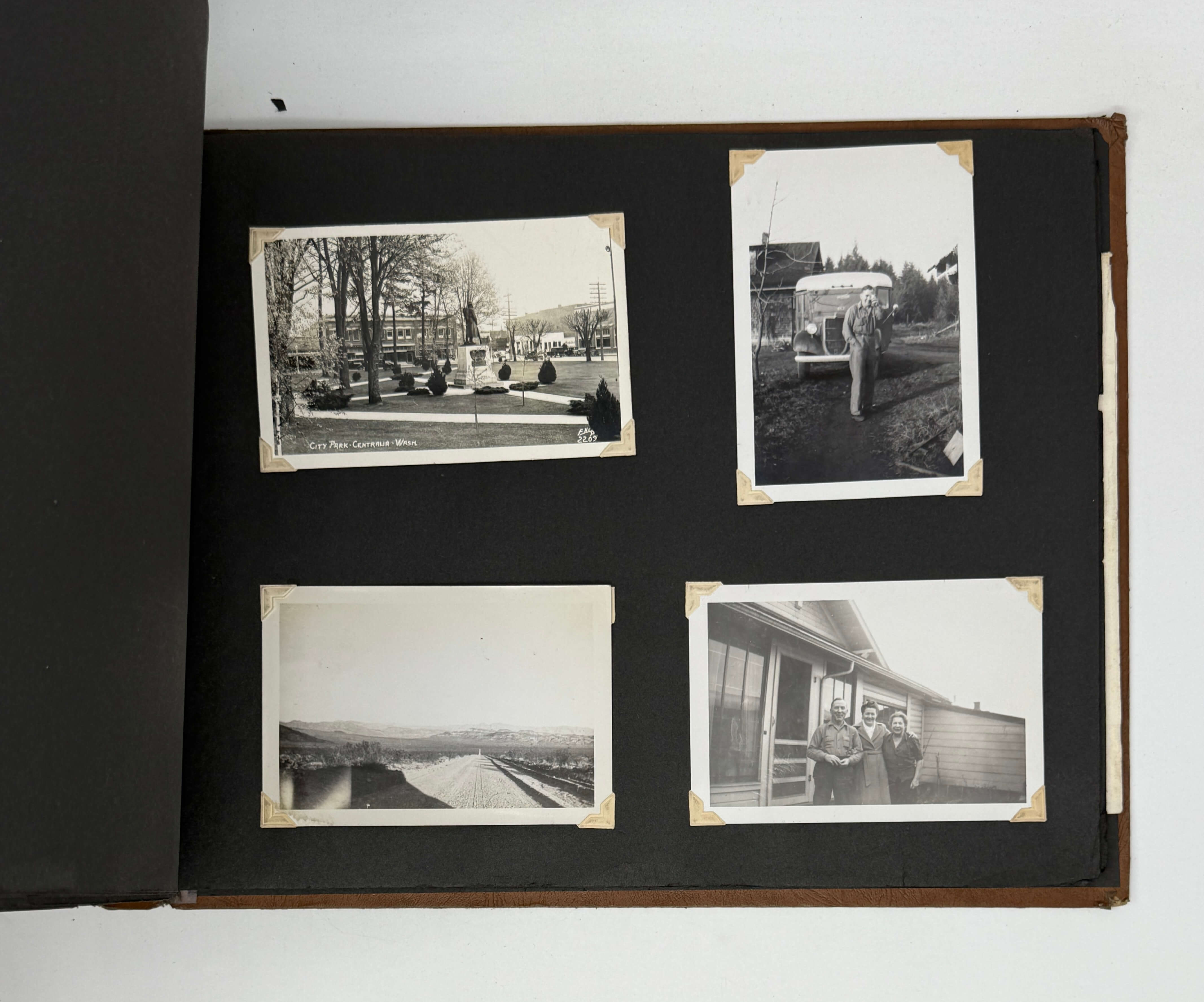
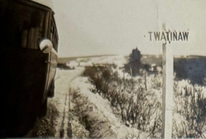
The album closes with photographs taken in Washington and California, and several postcards from those states. Five illustrated postcards showing Edmonton are also in the album.
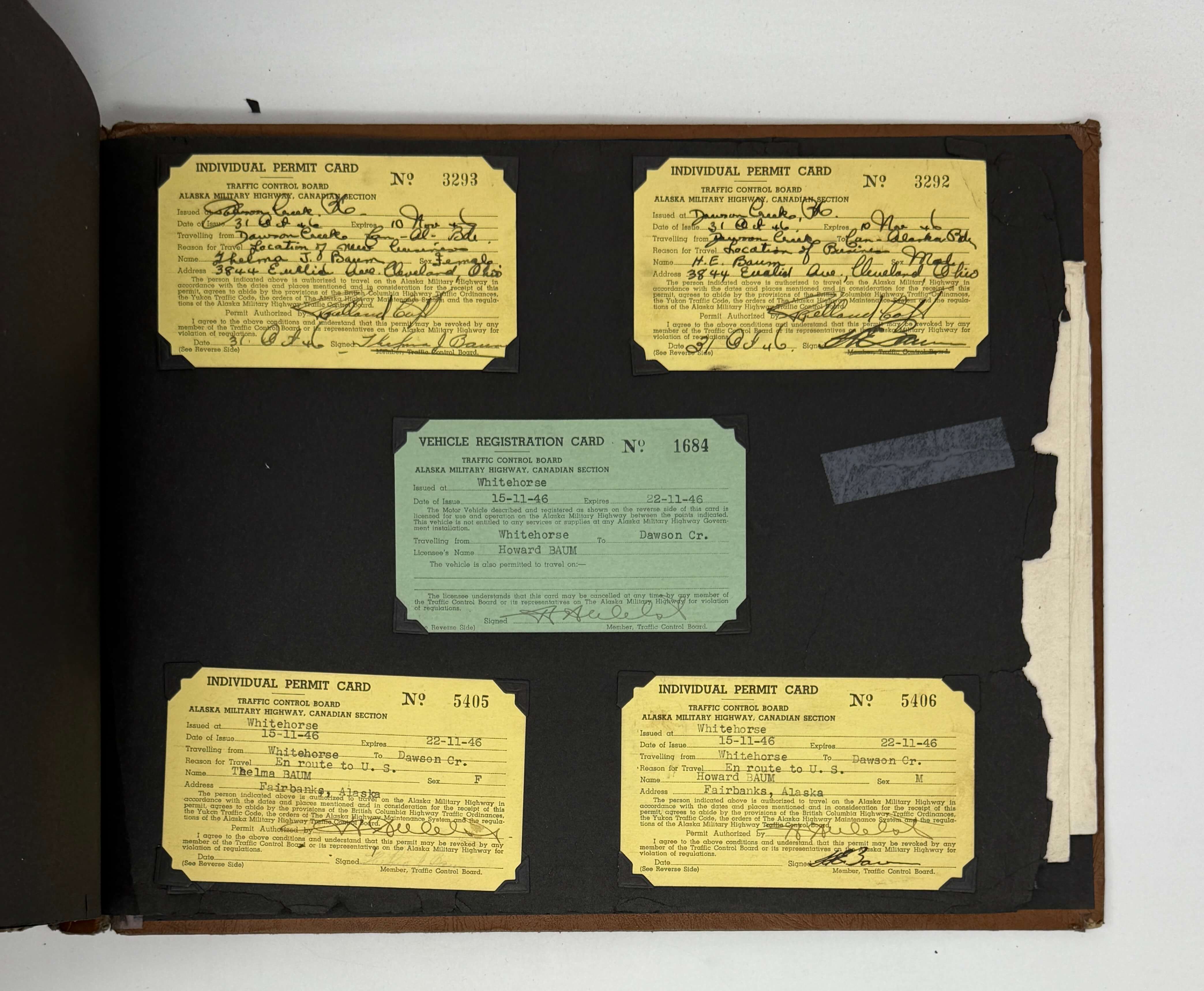
Additionally, the album contains several pieces of ephemera. One newspaper clipping from an Edmonton newspaper is an article published on the couple’s trip. There are five permits (four individual and one vehicle) issued to the compilers for travel between Dawson Creek, BC, and Whitehorse, Yukon. There is also a map of the Alaska Highway with notes from the compilers; a list of towns, their mile marker, and services offered along the highway; and a list of regulations for travelling along the highway. Other pieces of ephemera included are receipts and various newspaper clippings.
Overall, an interesting collection of rare photographs showing a early road trip on the Alaska Highway, shortly after the end of World War II.