
#FRE45
Ca. 1940
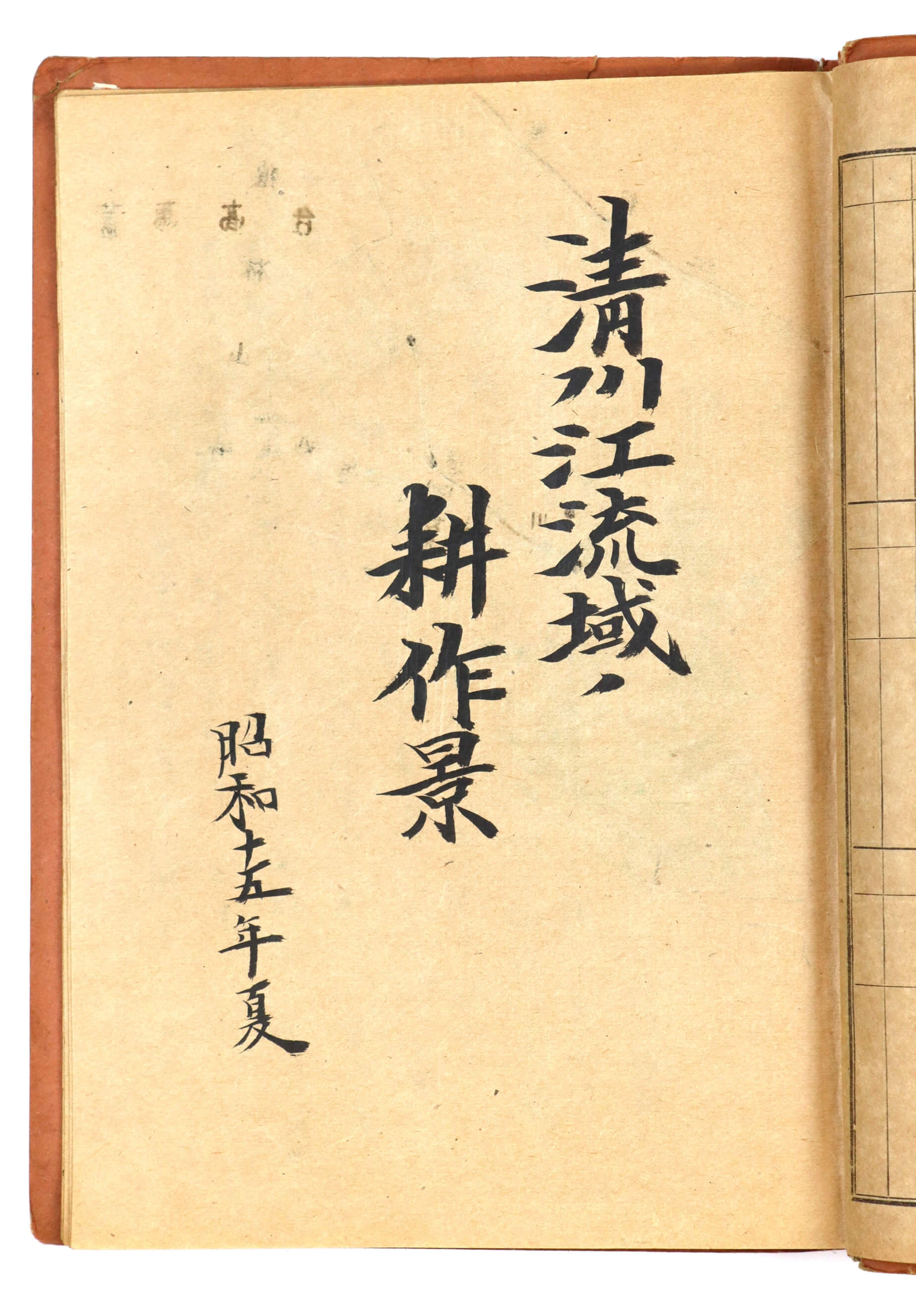
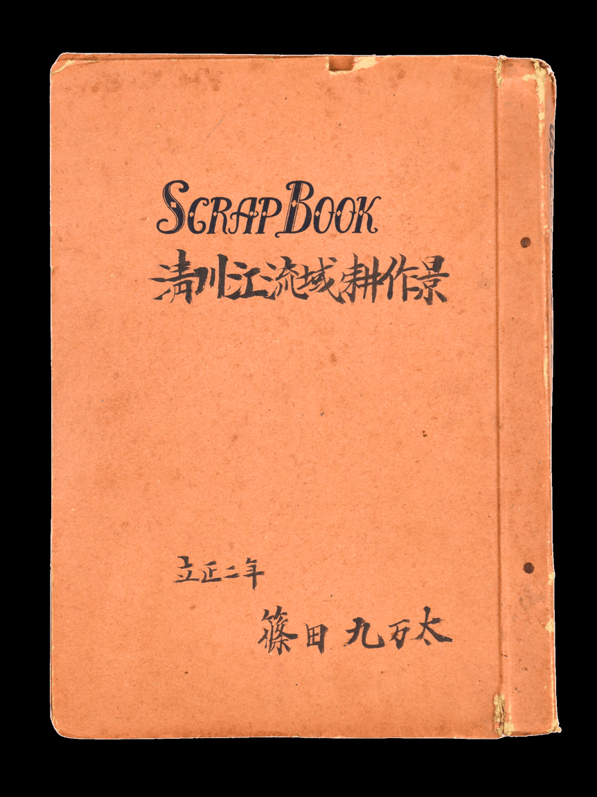
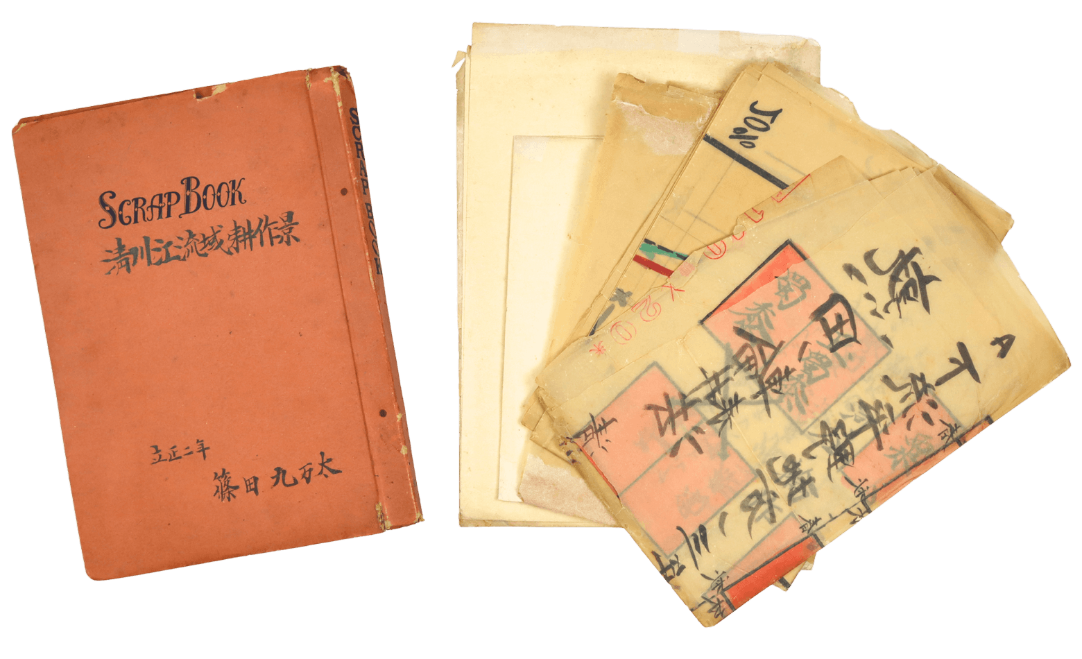
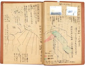
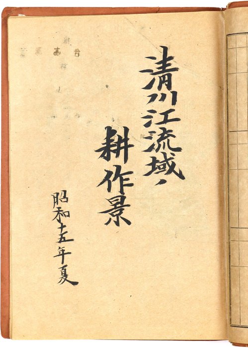
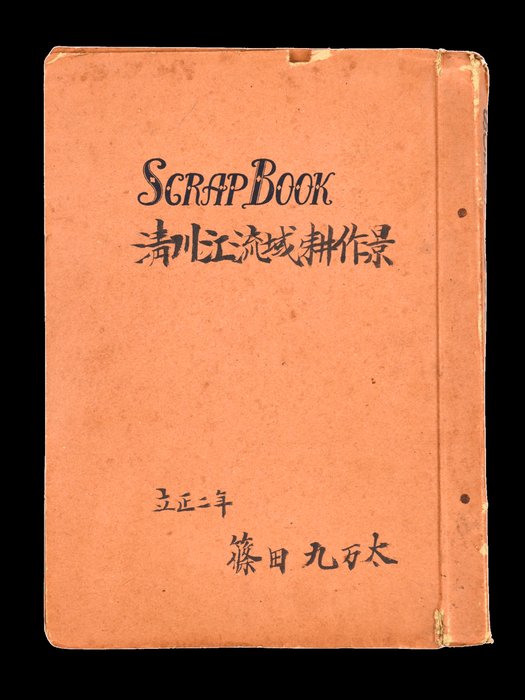
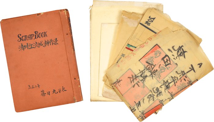
Quarto (ca. 30,7x22,7 or 12 ¼ x 8 ¾ in). 32 pp. (14 pp. blank). Brown ink and pencil on paper. Period cardboards with hand-inked Japanese title (English translation: Farming Scenes in the Chongchon River Basin. Shinoda Kumanta) on the front cover; with five hand-drawn large-size charts (two on translucent paper) from ca. 109x77 cm (43 x 30 ¼ in) to ca. 63,5x47 cm (25 x 18 ½ in). Scrapbook covers with tears, photos slightly age-toned, charts with fold marks, tears at the hinges (most restored with a paper tape), but otherwise a very good interesting collection.
Text in Japanese.
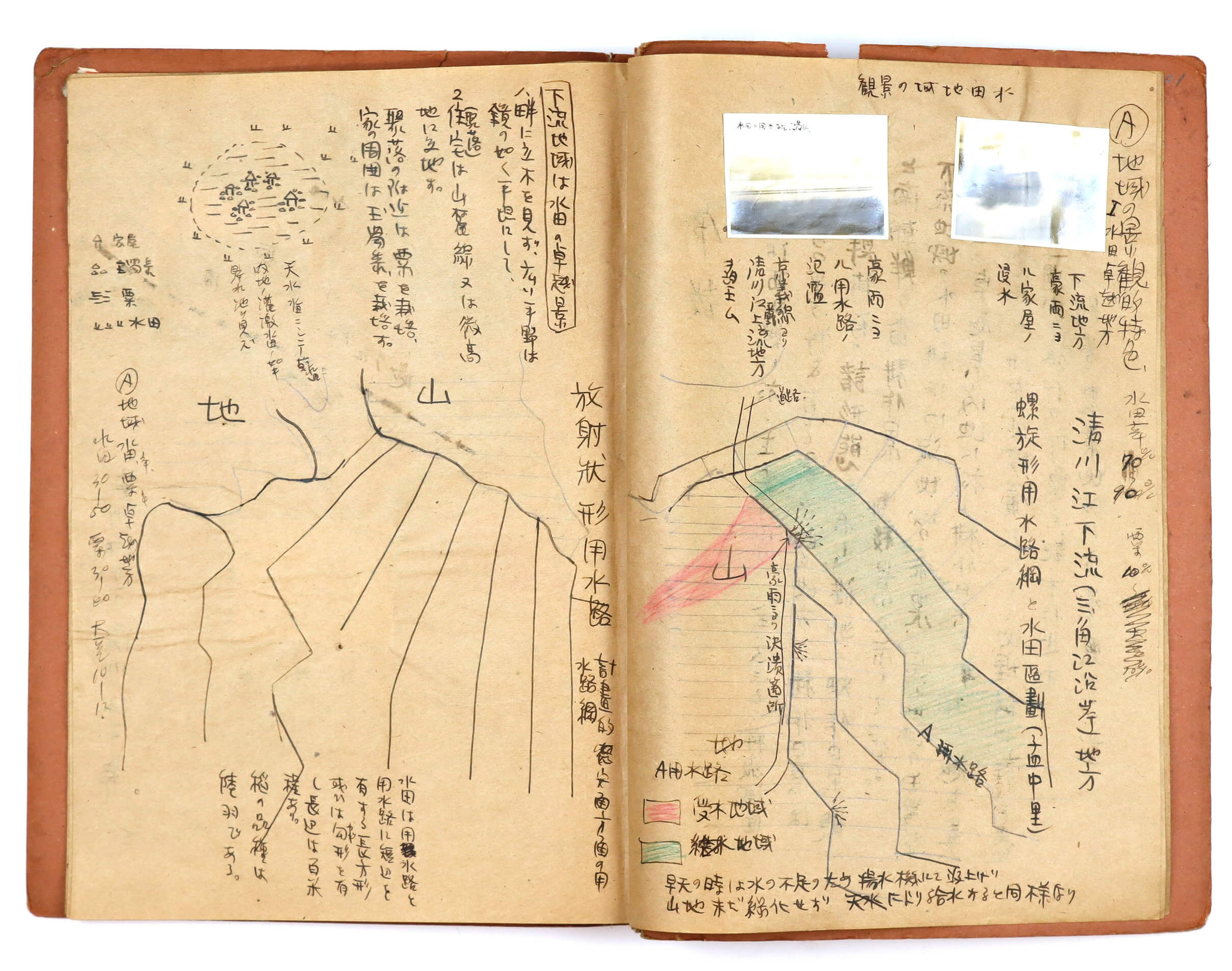
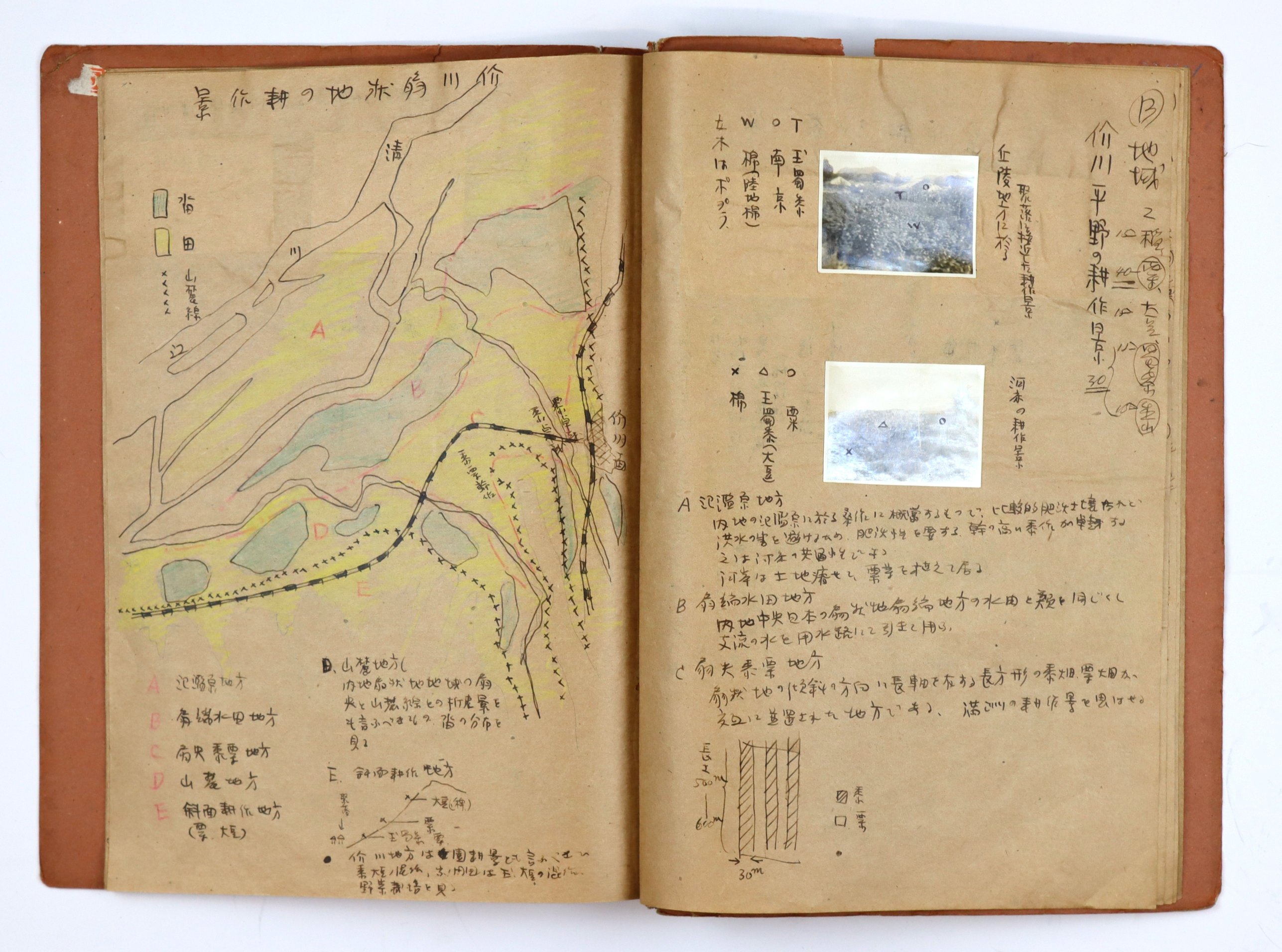
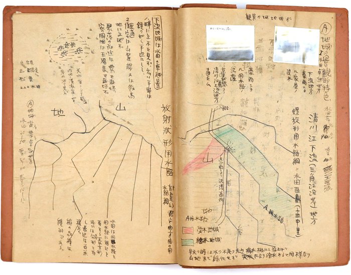
Historically important scrapbook with a manuscript field research of agricultural cultivation along the Chongchon River basin (North Korea), conducted by Kumanta Shinoda, a second-year Japanese student at Rissho University (Tokyo), during a week-long field survey in 1940. At the time, the entire Korean Peninsula was under Japanese colonial rule and deeply entangled in the mobilization for the Second Sino-Japanese War. During this period of imperial expansion, the Japanese government actively surveyed and managed Korean land to extract resources, maximize agricultural output, and secure food supplies for its wartime economy. The region was later heavily devastated during the Korean War and is now largely closed to the outside world.
The compiler of the scrapbook, Kumanta Shinoda (born 1914), was a Japanese geographer and folklorist who dedicated his career to regional studies, geography, and agricultural geography. Before and during World War II, Shinoda was affiliated with the Nanyo Economic Research Institute, where he was actively involved in compiling critical geographical and statistical data for the South Pacific region.
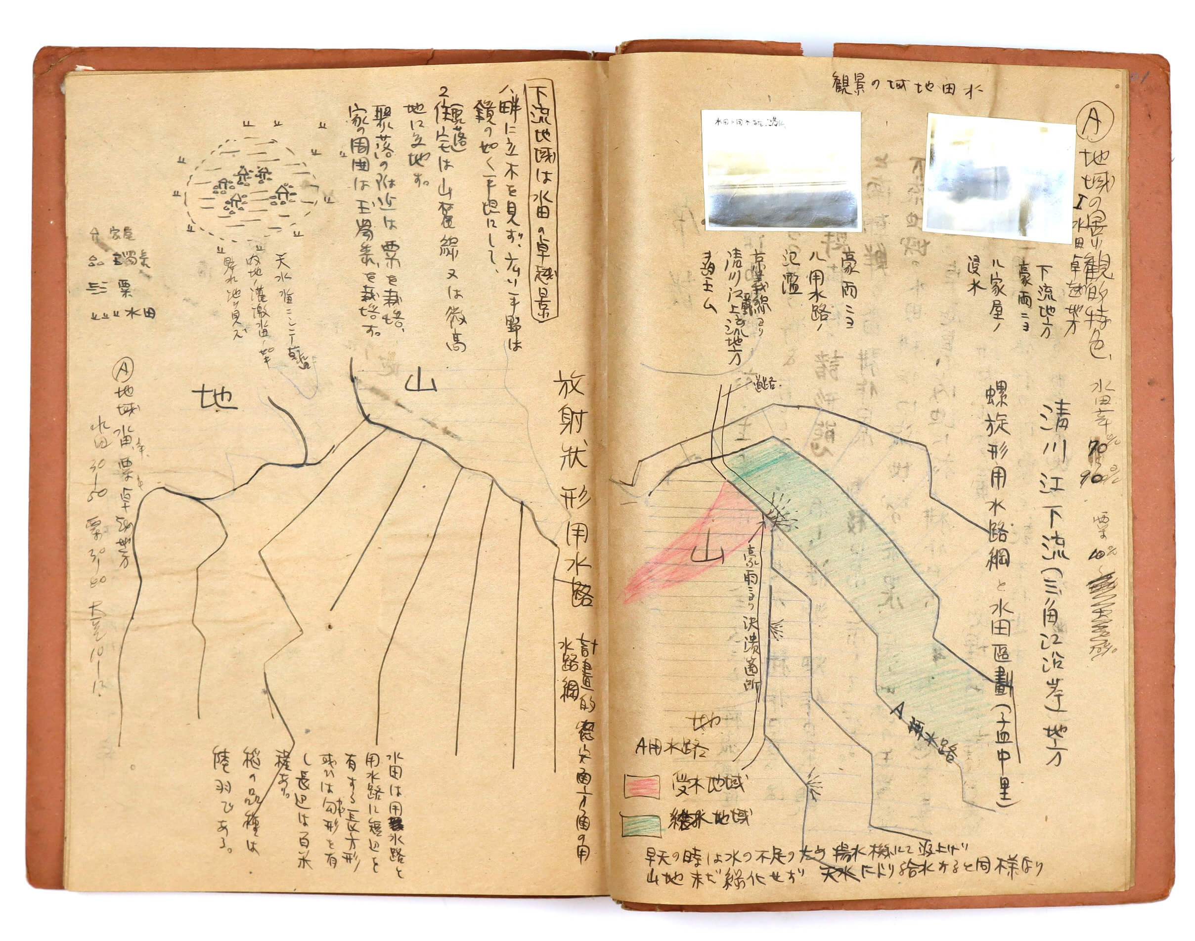
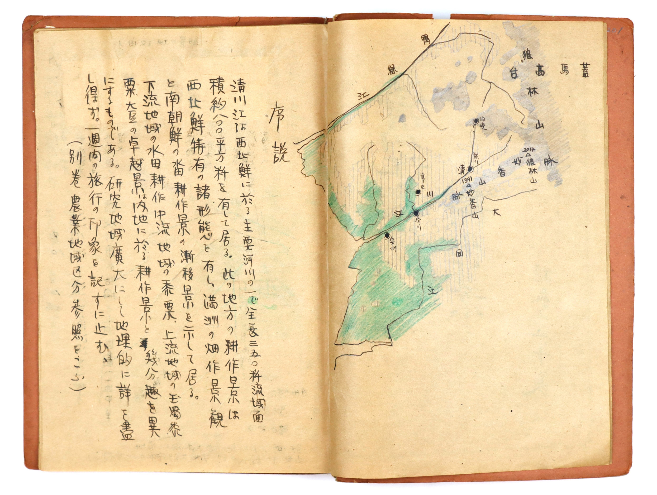
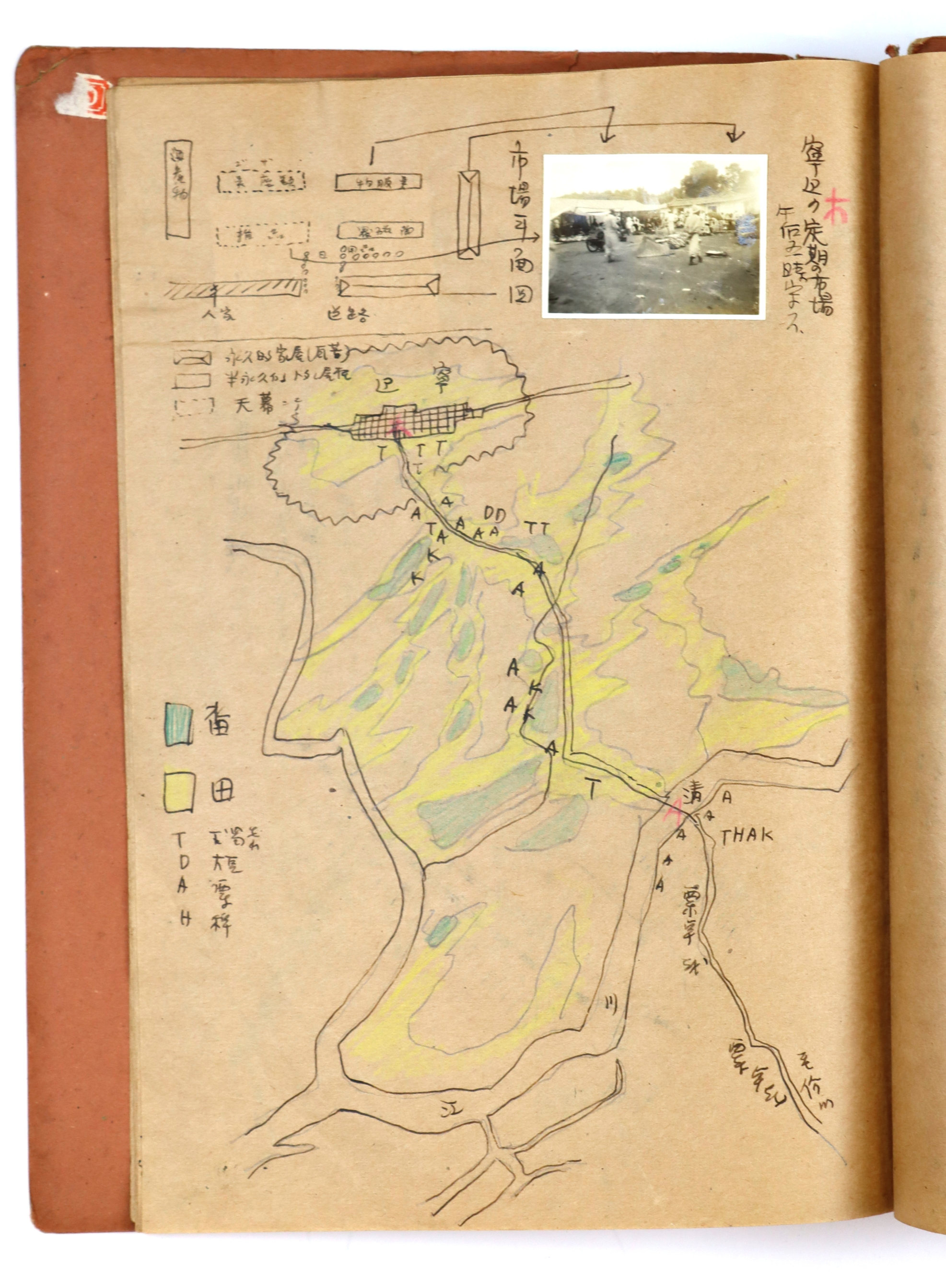
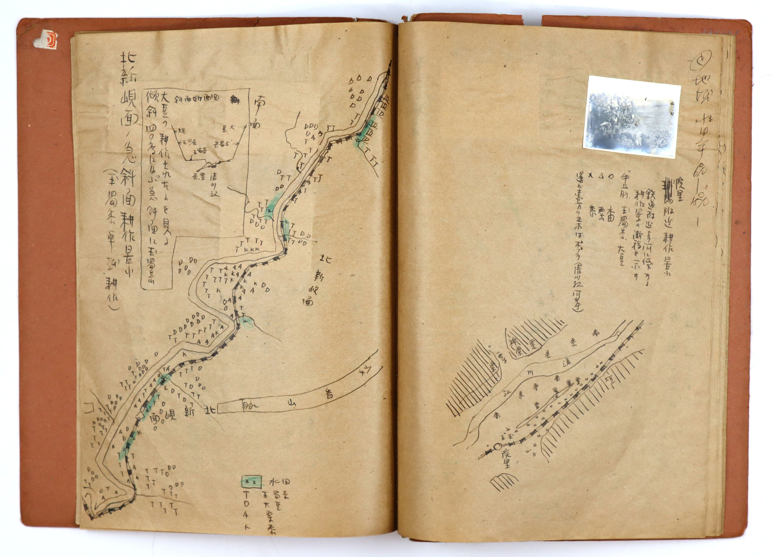
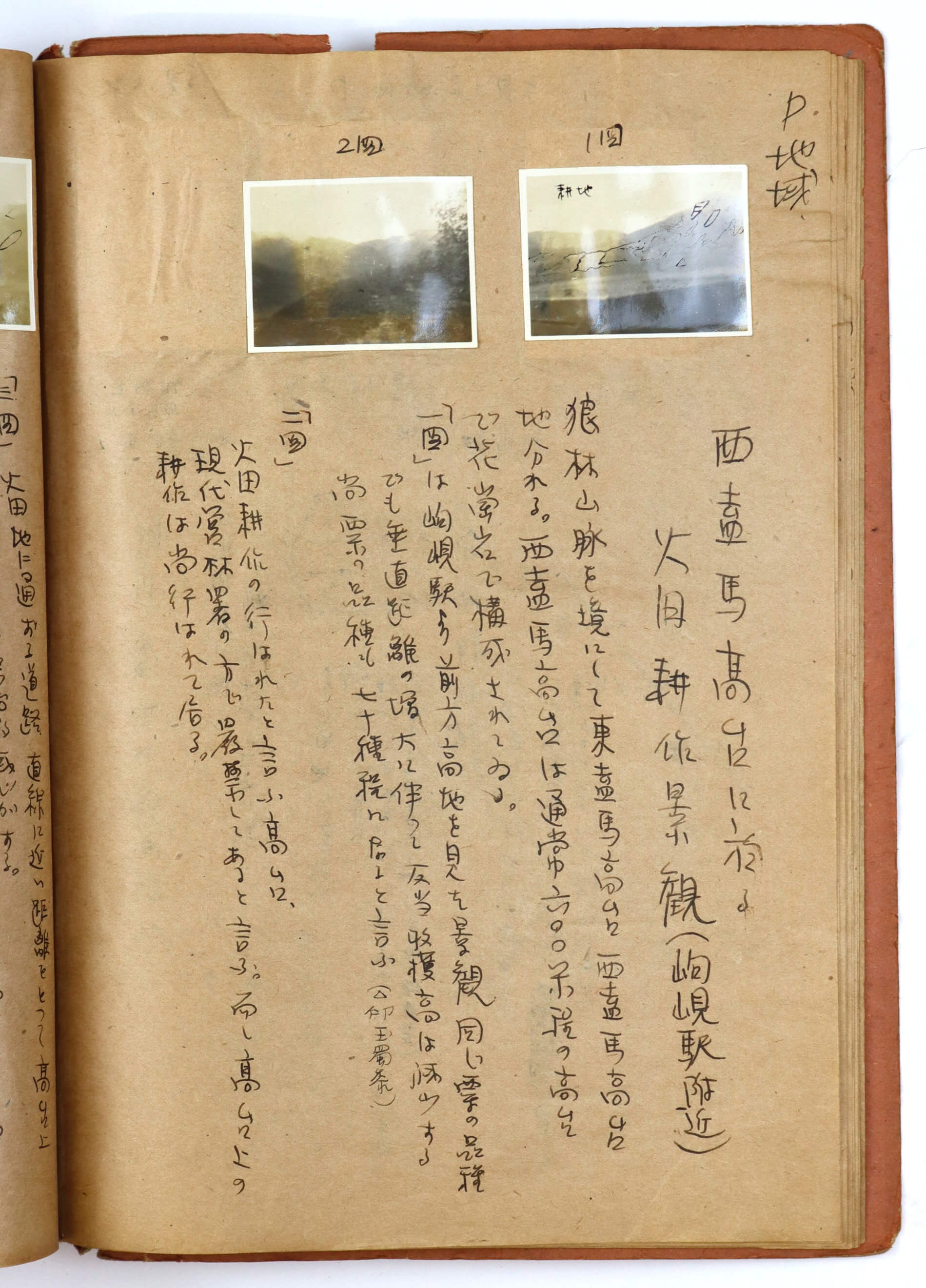
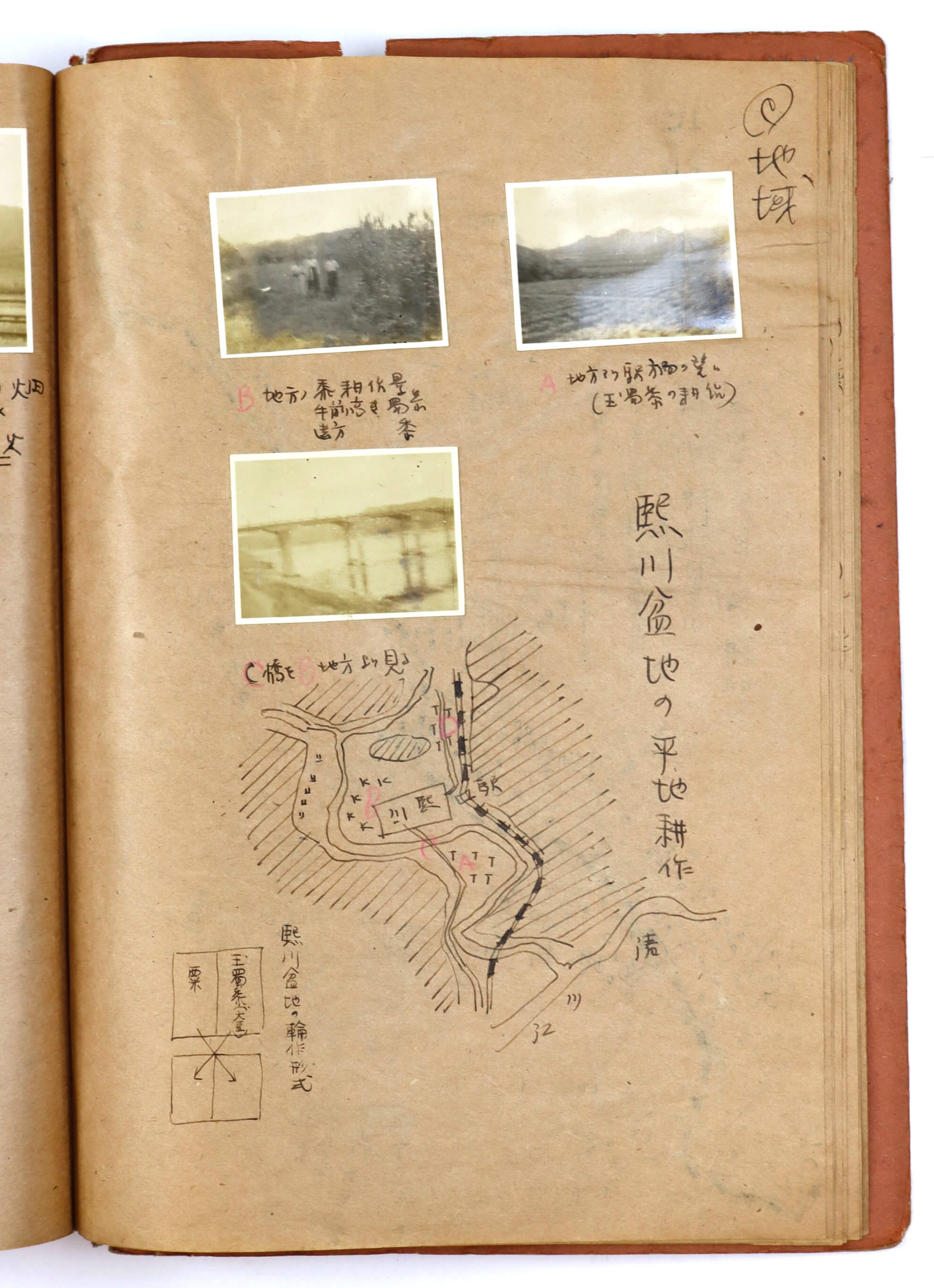
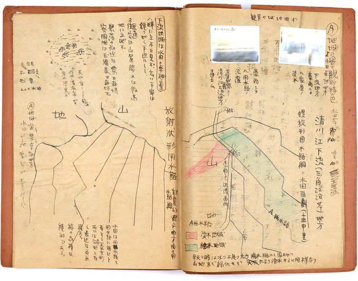
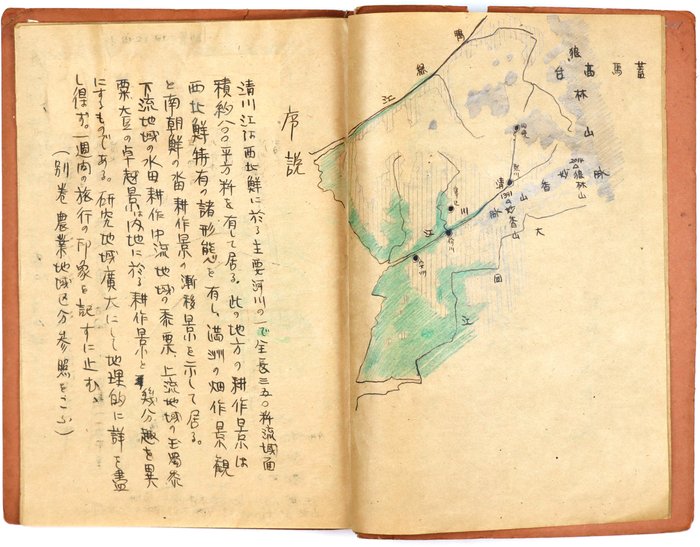
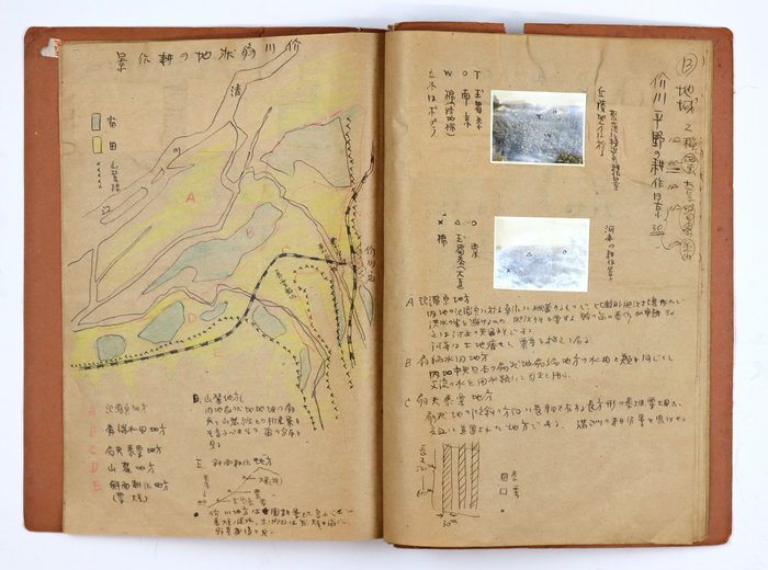
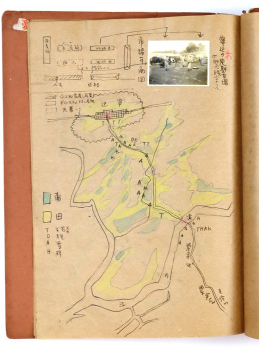
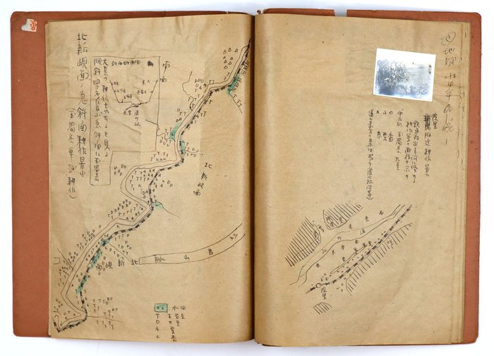
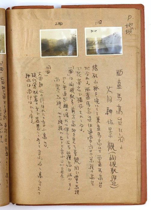
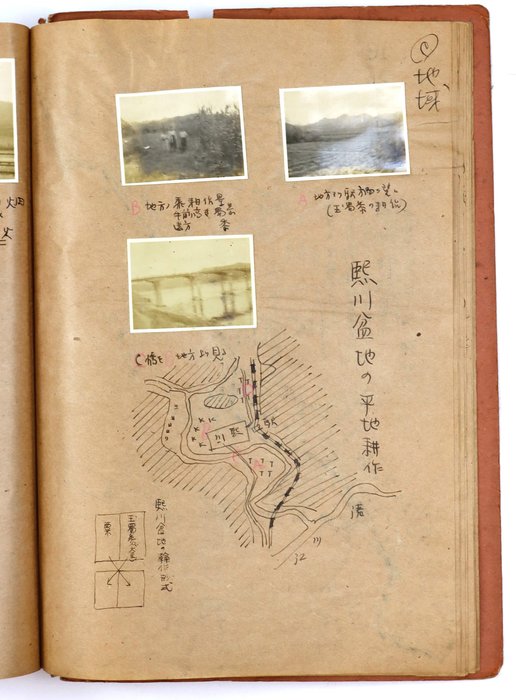
The scrapbook likely served as a formal academic thesis or terminal field report for Kumata’s studies at Rissho University. As follows from the introduction, research aimed to analyze the Chongchon River basin as a geographical transition zone, tracing the shift from Manchurian dry-field agriculture to Korea's intensive wet-rice cultivation and examining how farming practices changed with topography. The text proceeds systematically from the river mouth to the basin's alpine headwaters, combining charts, engineering drawings, statistical tables, and topographic profiles to demonstrate how agriculture became progressively constrained by terrain and elevation. Irrigation schemes in the downstream estuary show how engineered water networks transformed tidal lowlands into productive wet-rice fields, while crop-distribution charts from the Kaechon Plain reveal the careful allocation of rice to irrigated valleys and drought-tolerant crops to surrounding foothills. Farther upstream, cross-sectional diagrams document the contraction of cultivation into narrow mountain terraces as gradients steepen, before statistical records from the Western Gaema Plateau establish the environmental limits of wet-rice cultivation above roughly 600 meters, where alpine conditions forced a complete transition to slash-and-burn agriculture centered on buckwheat, soybeans, peanuts, and timber extraction.
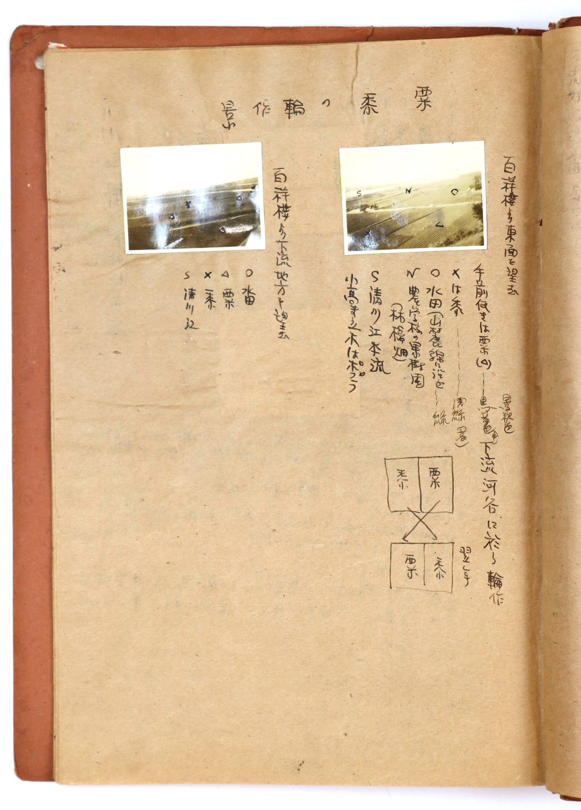
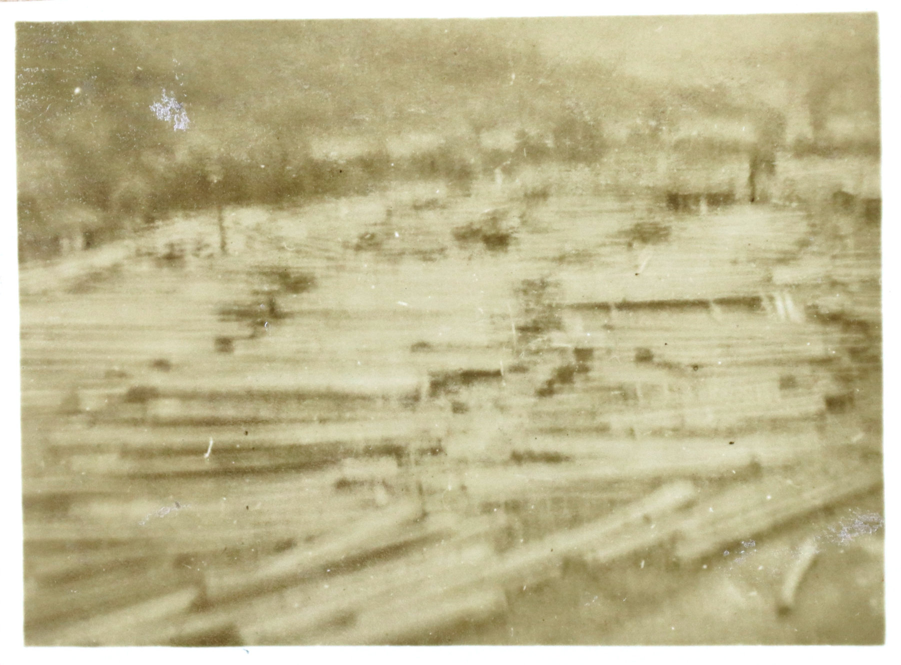
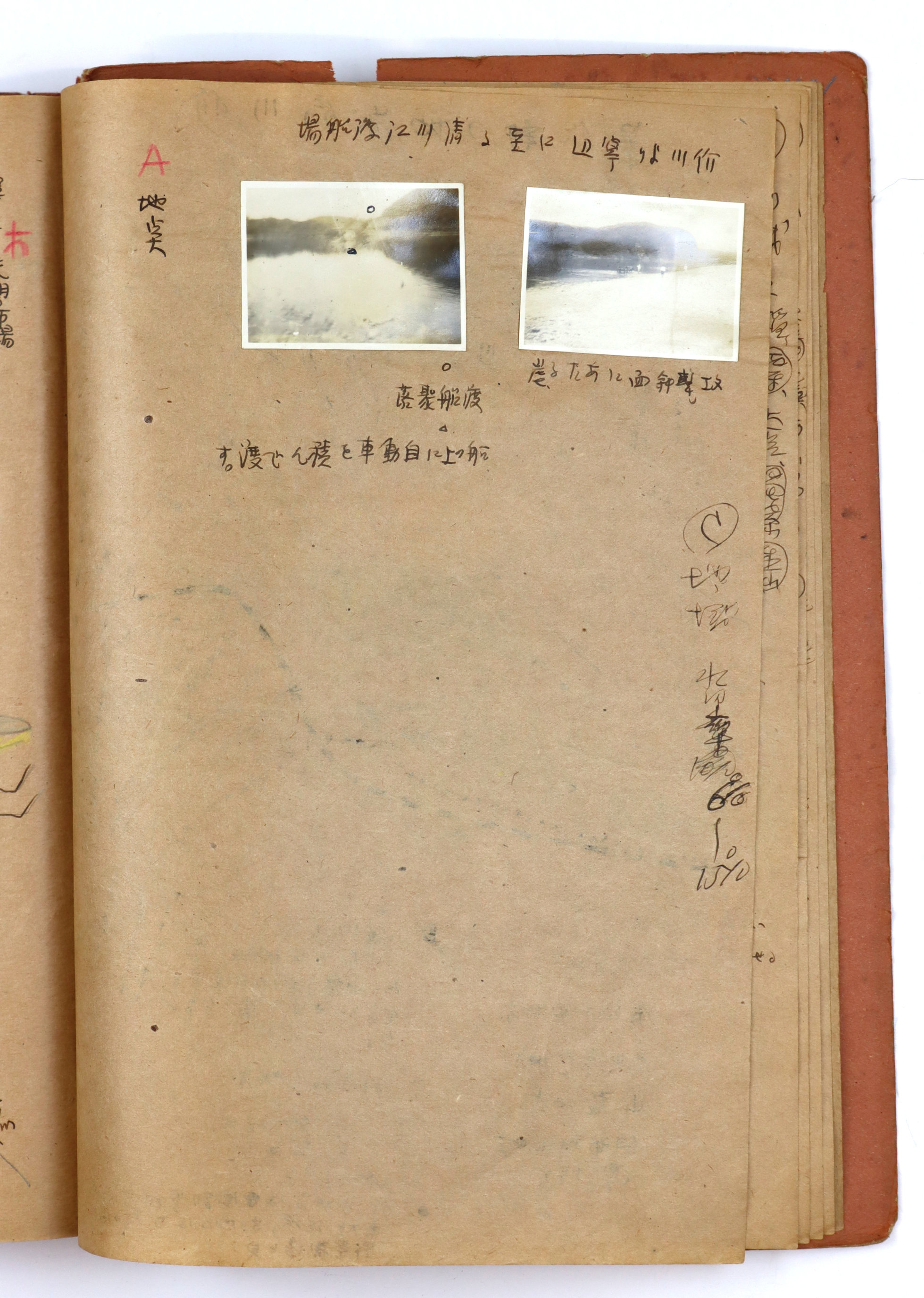
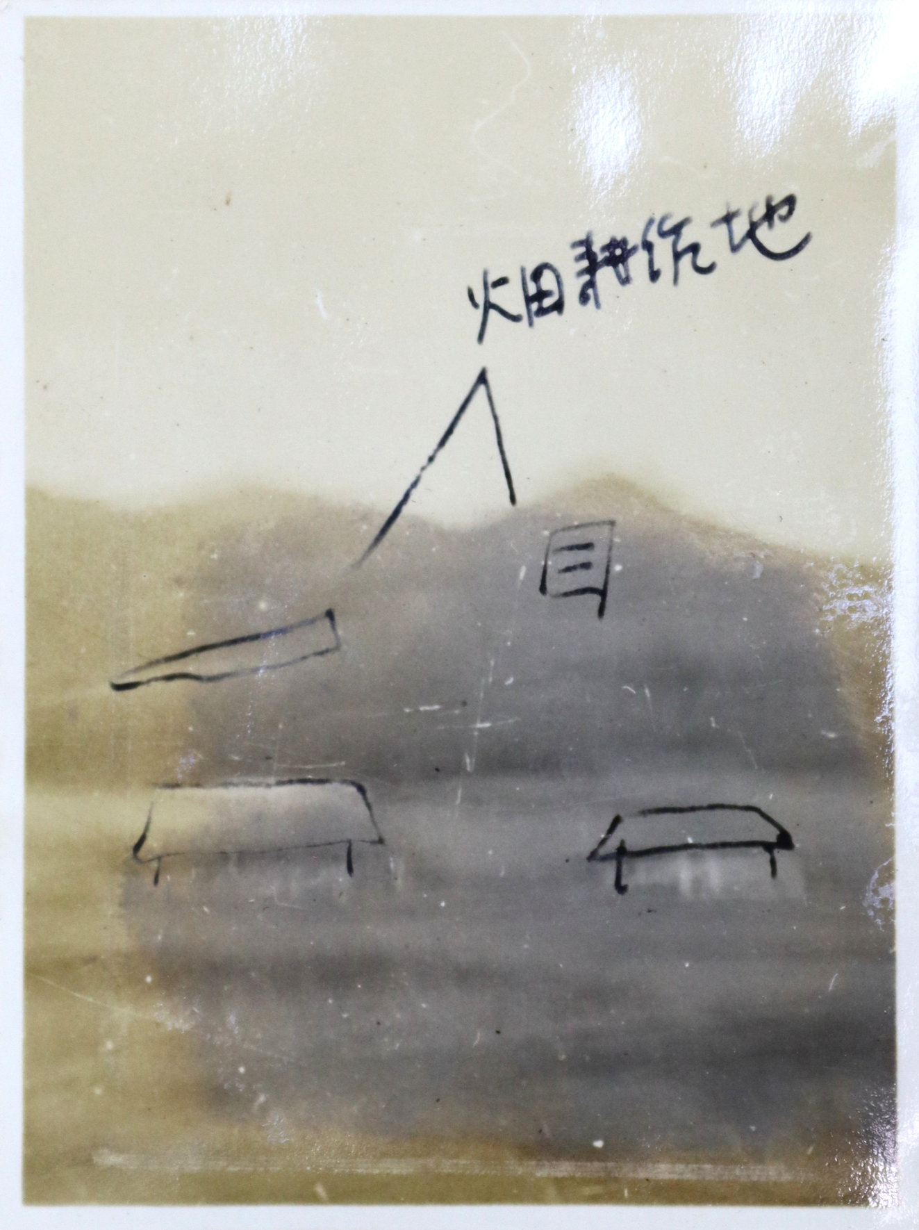
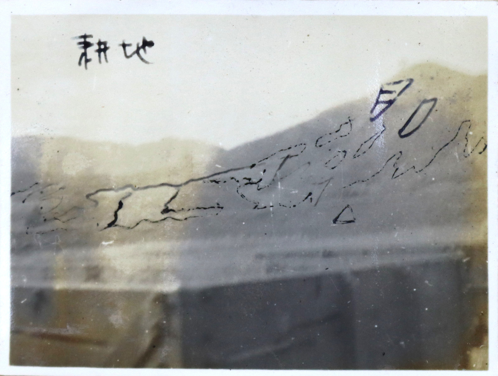
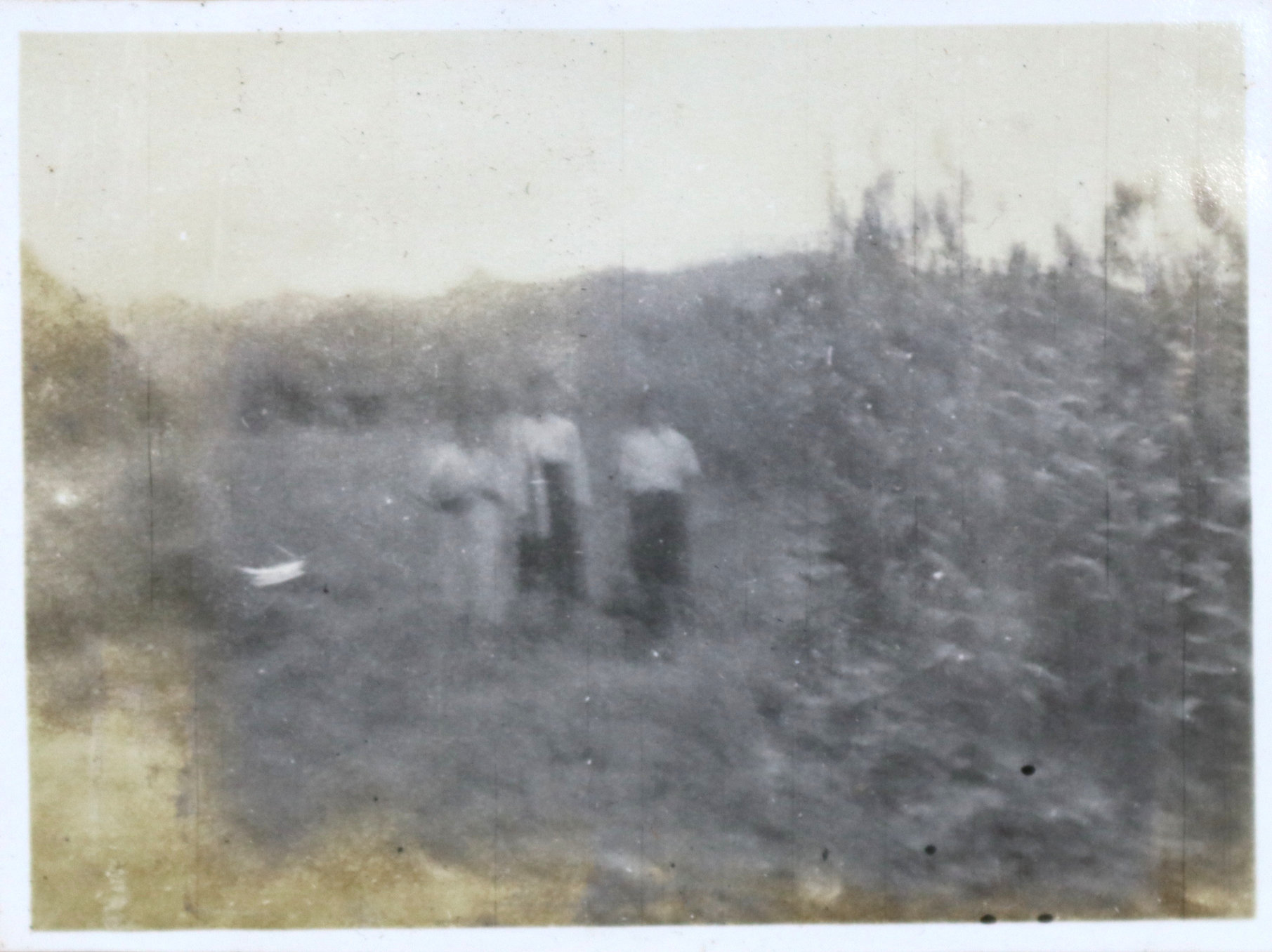
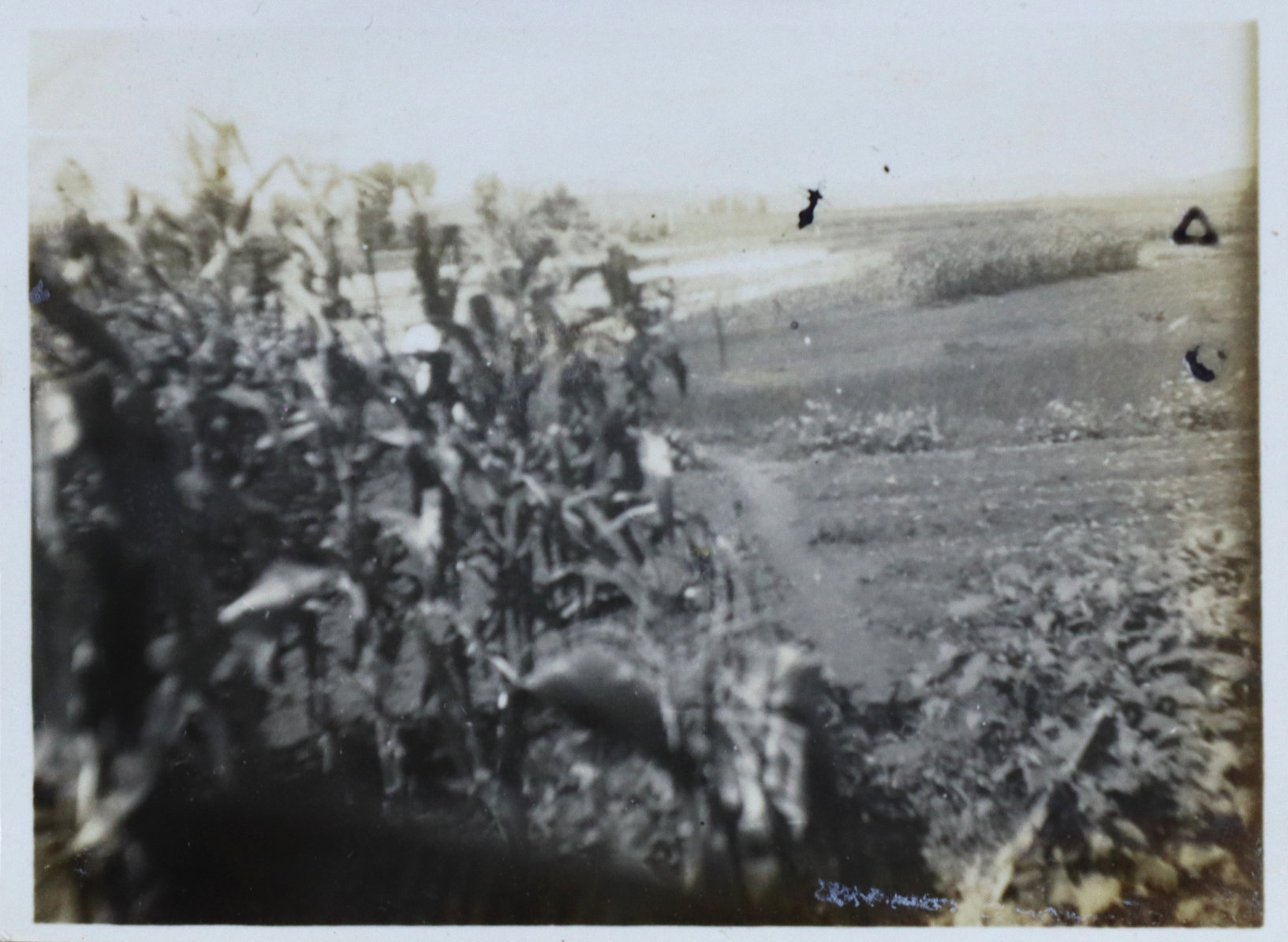
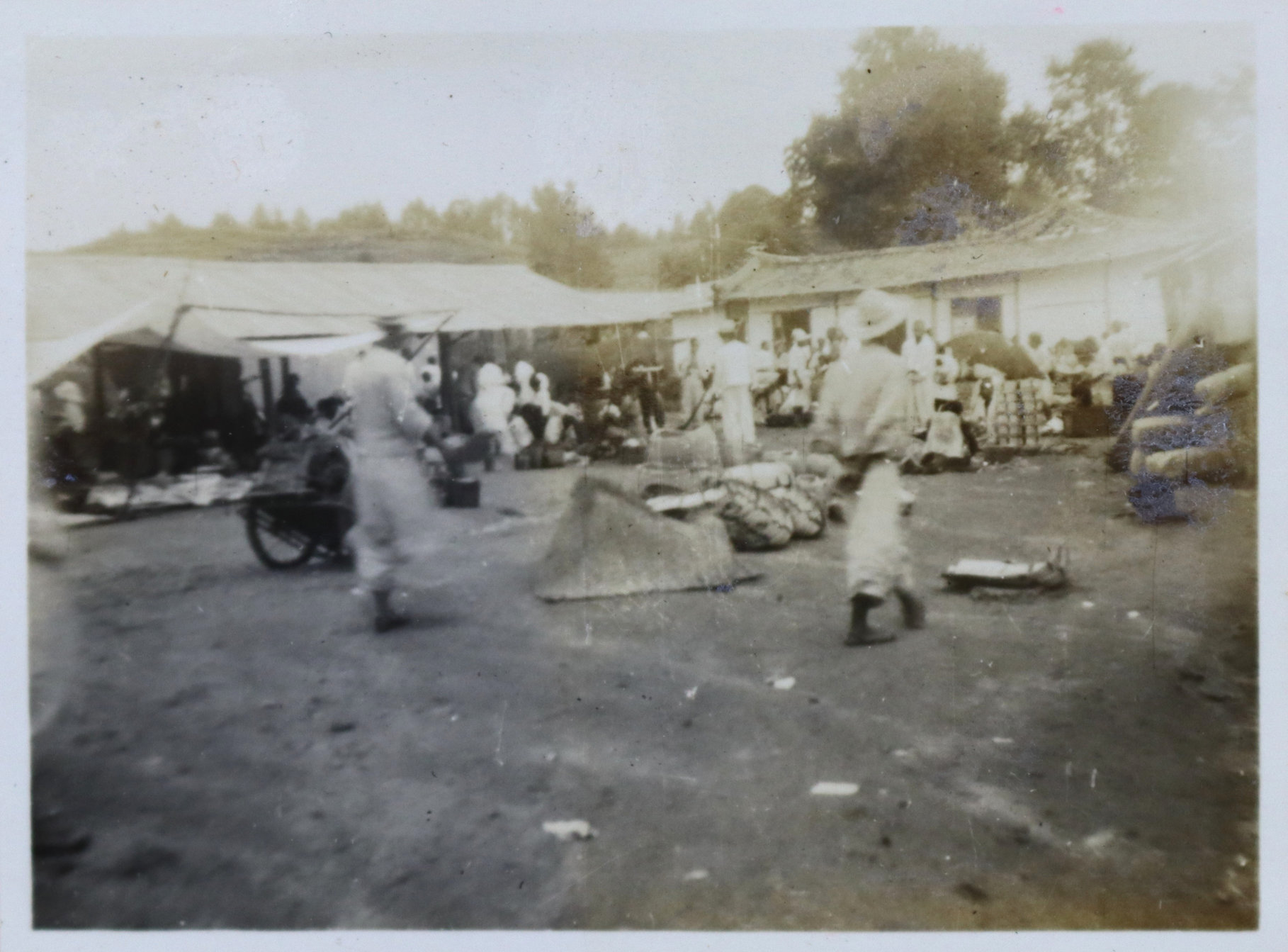
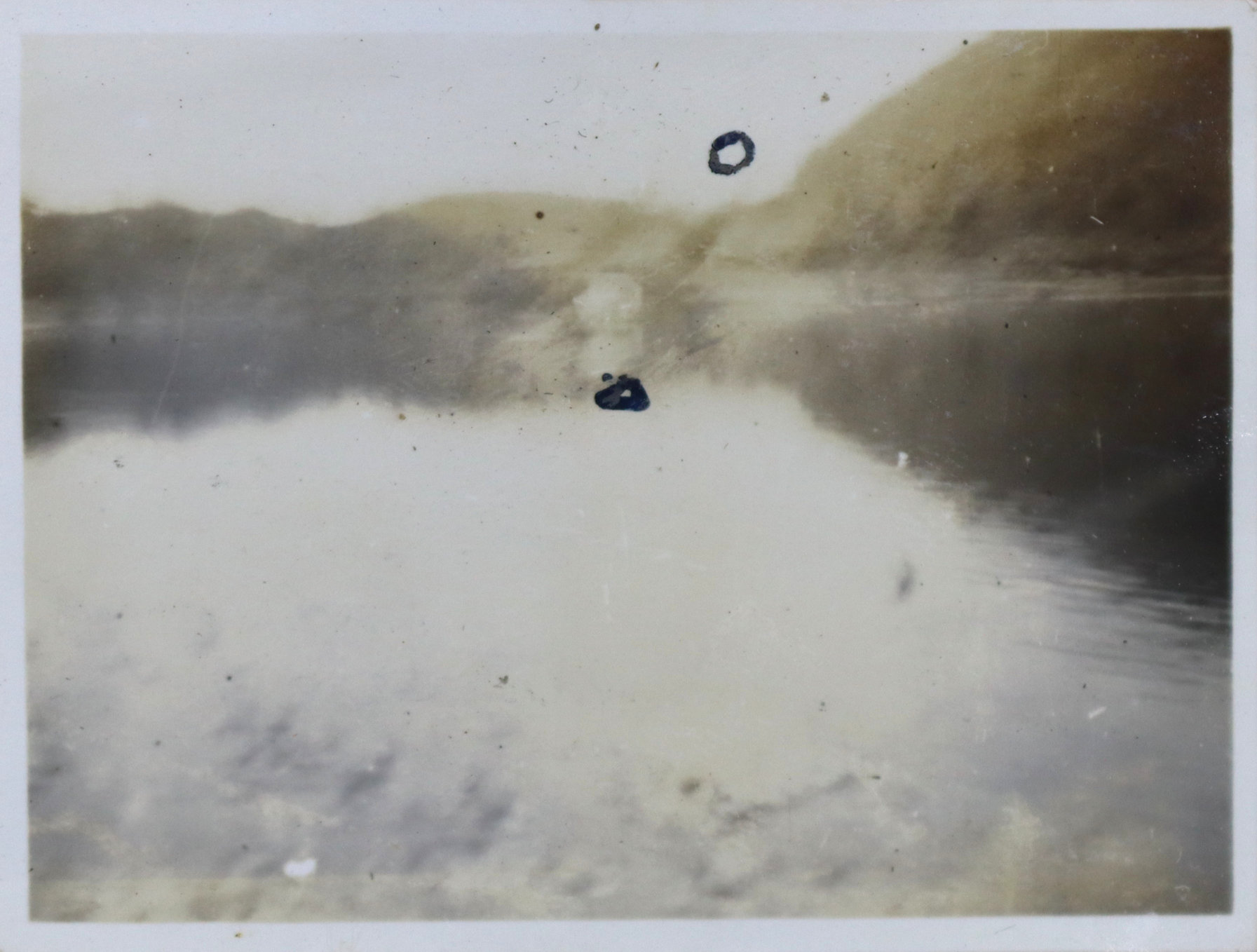
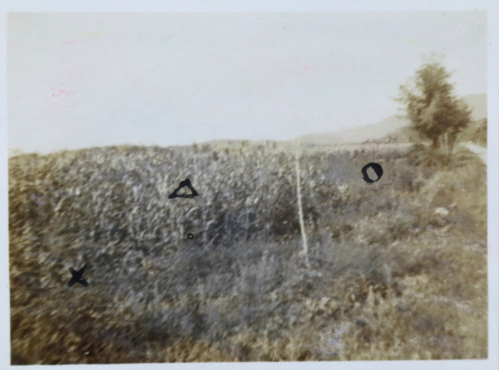
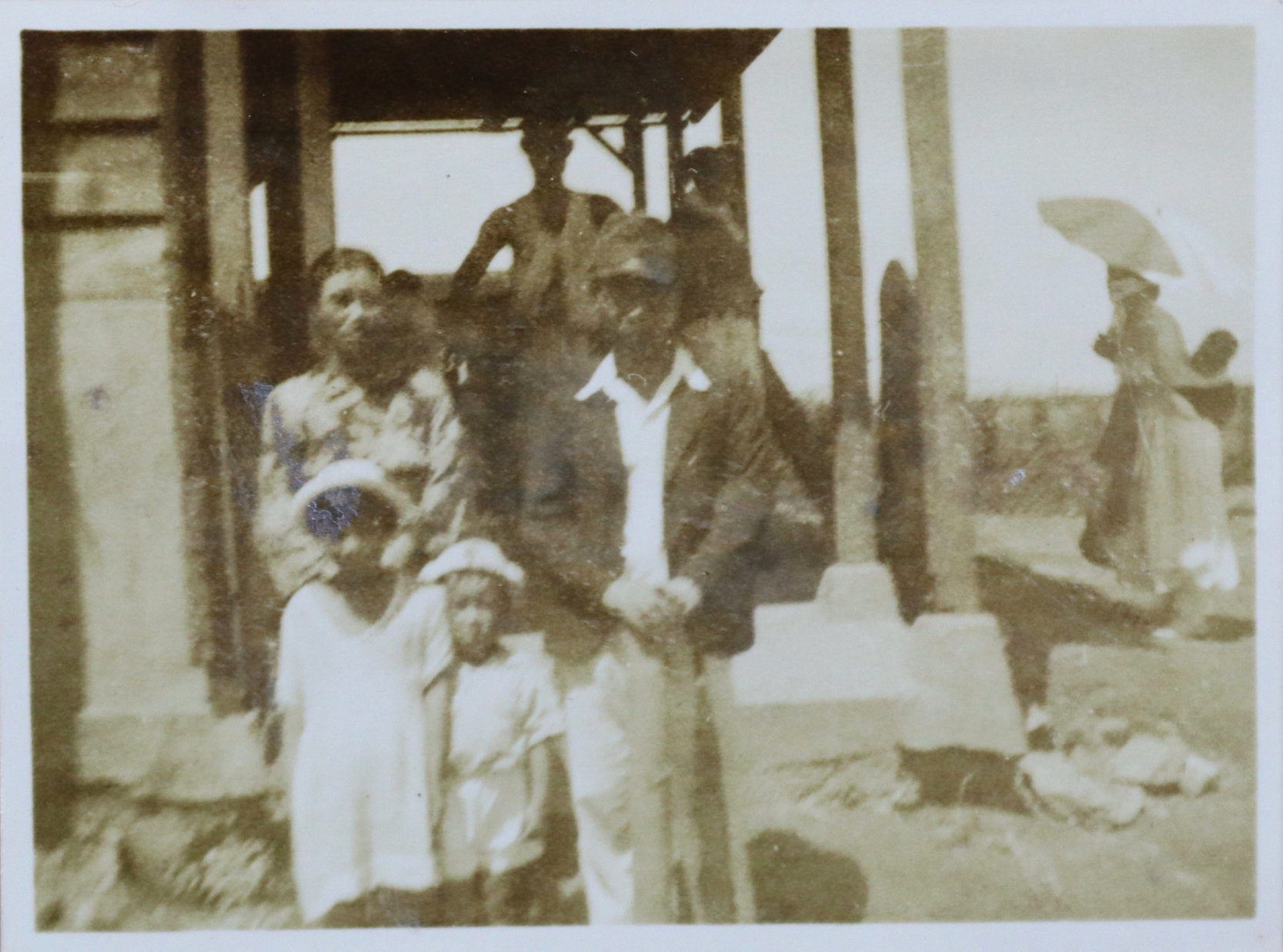
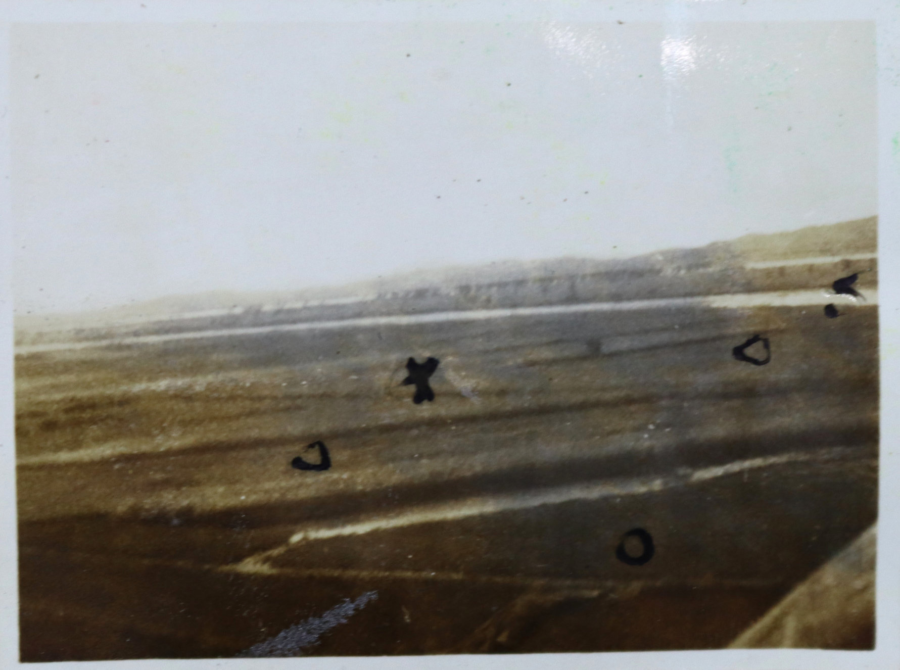
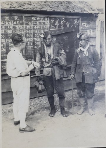
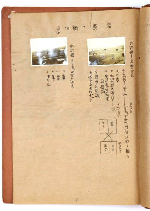
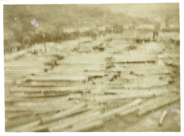
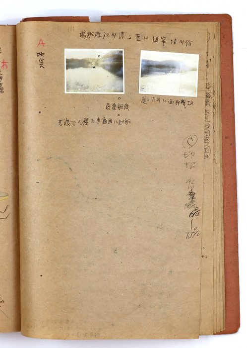
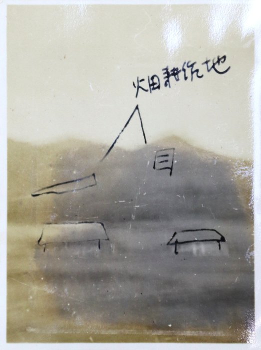
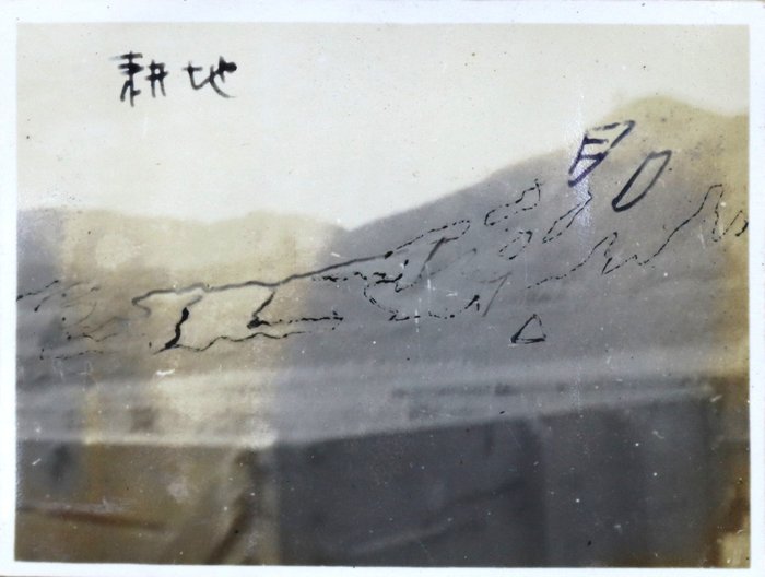
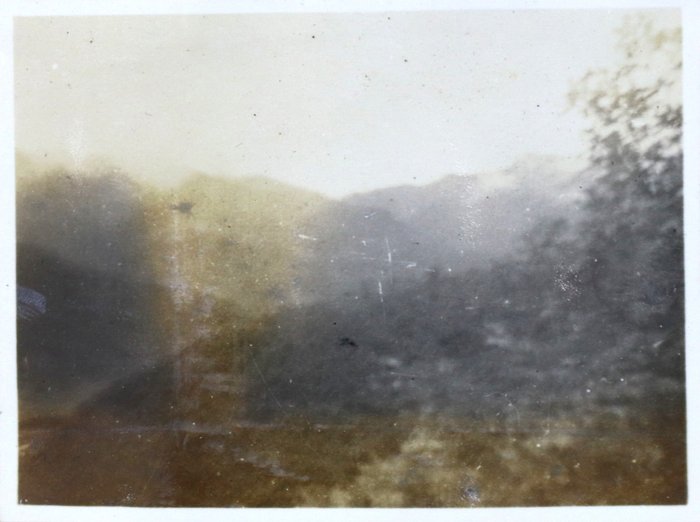
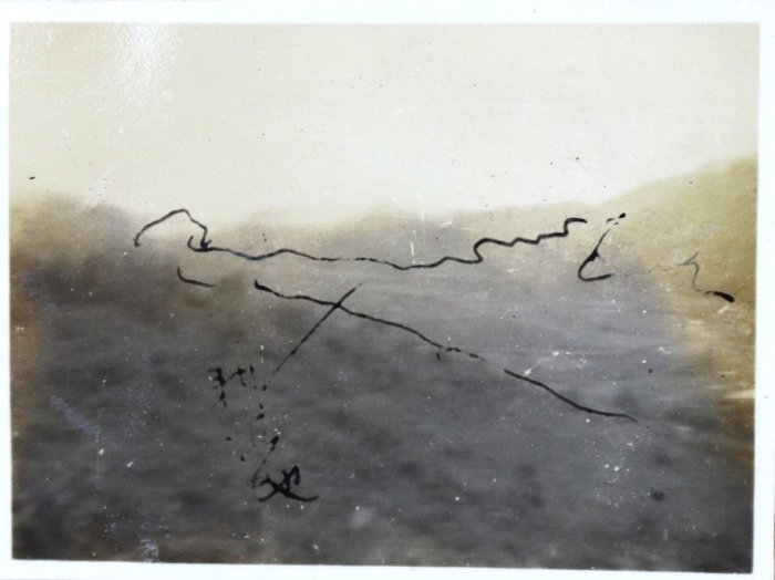
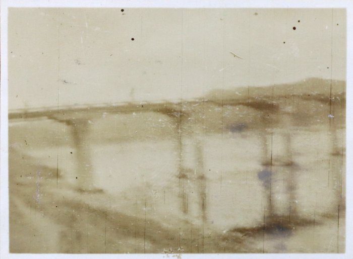
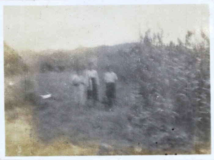
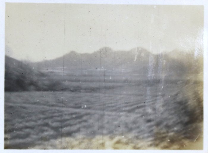
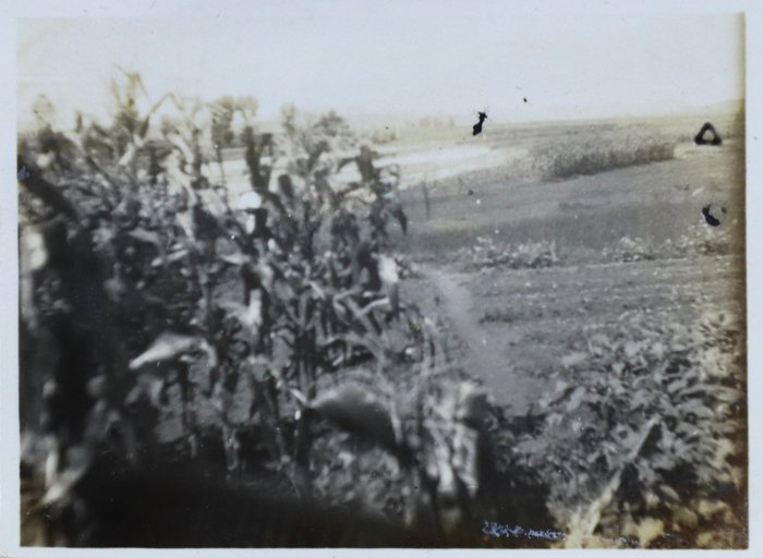
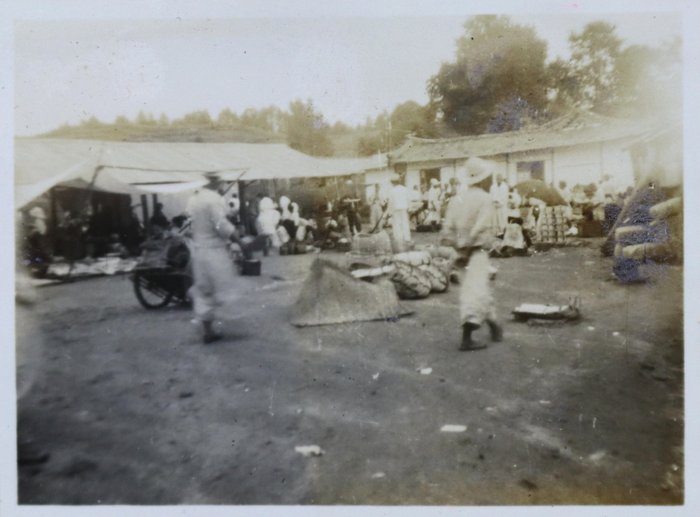
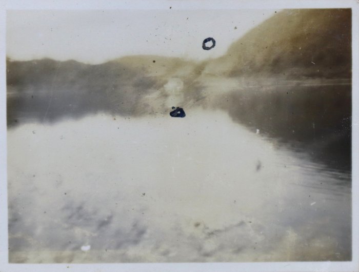
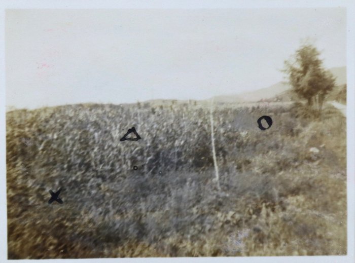
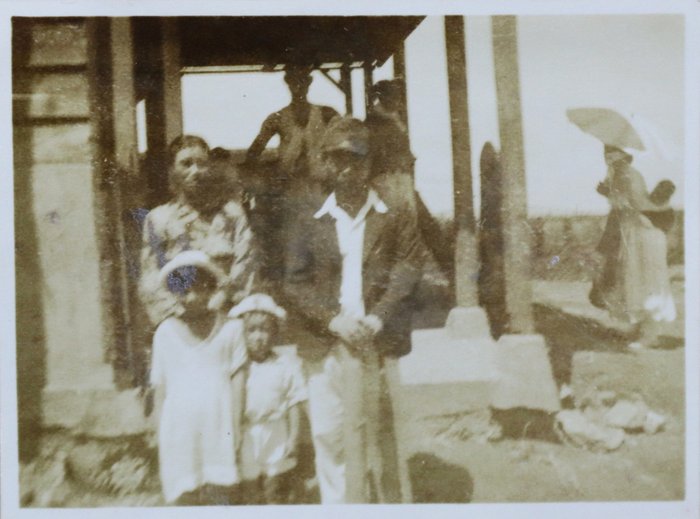
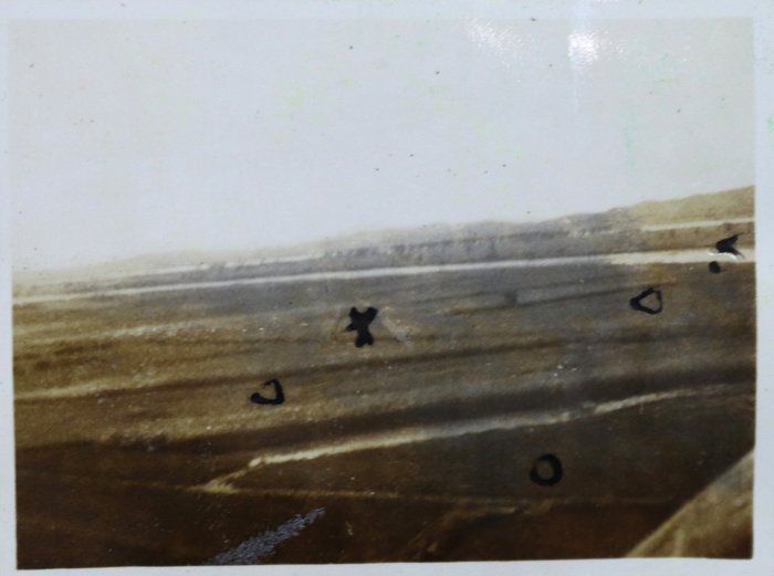
The scrapbook includes 22 original gelatin silver photographs, most depicting agricultural landscapes across the Chongchon River basin with fields of corn, mulberry, pumpkin, cotton, and other cultivated crops. There are also two exceptionally rare vernacular photographs, one capturing the bustling market in the Tennge district during the farming season, and another showing a local family posing near Anshu Station.
The portfolio is supplemented by five large hand-drawn charts, including:
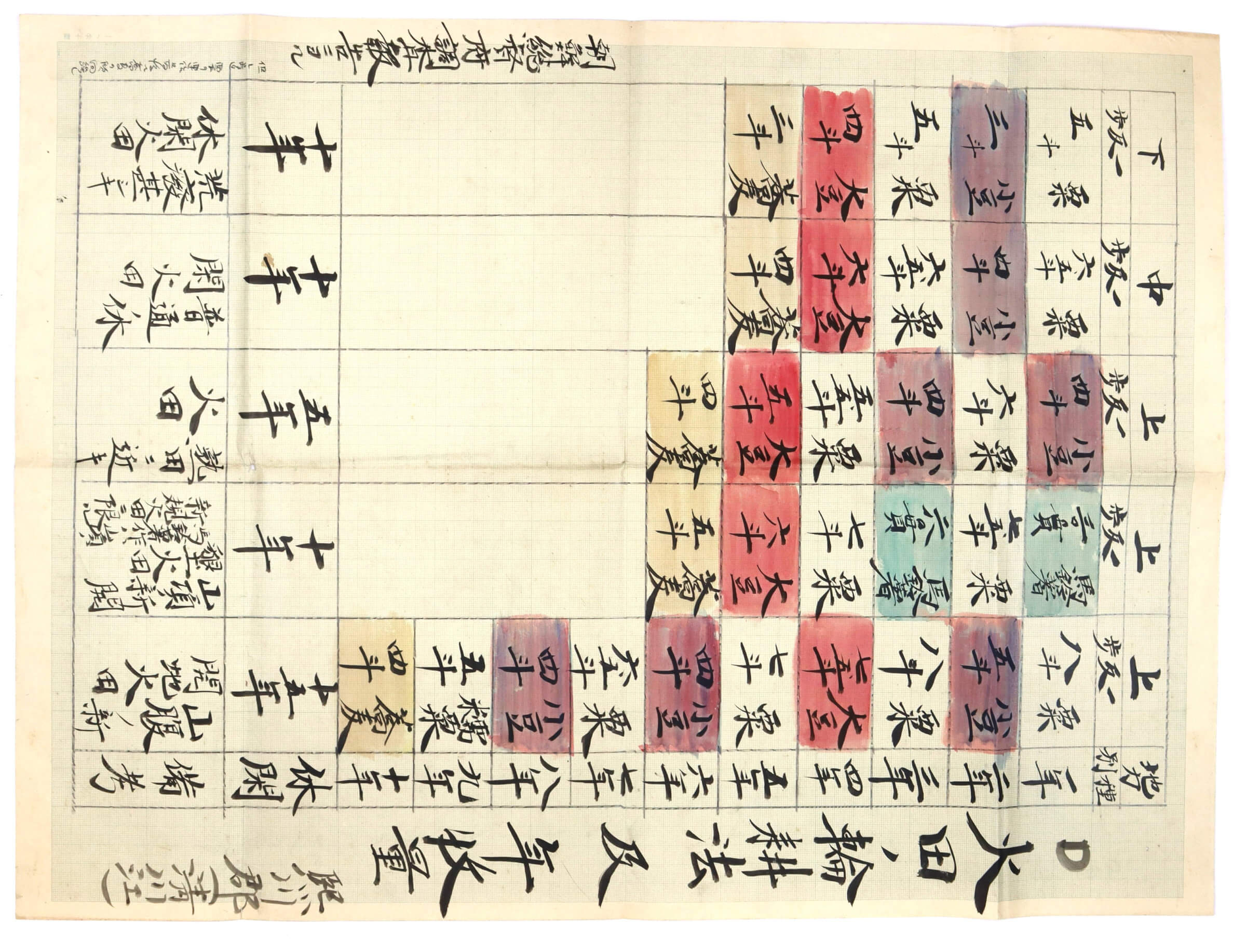
1) An administrative record documenting slash-and-burn agriculture in Huichon County. It classifies mountainside fields by soil quality and fallow cycles, while mapping multi-year crop rotations (millet, soybeans, red beans, potatoes, and buckwheat) alongside yields recorded in traditional units.
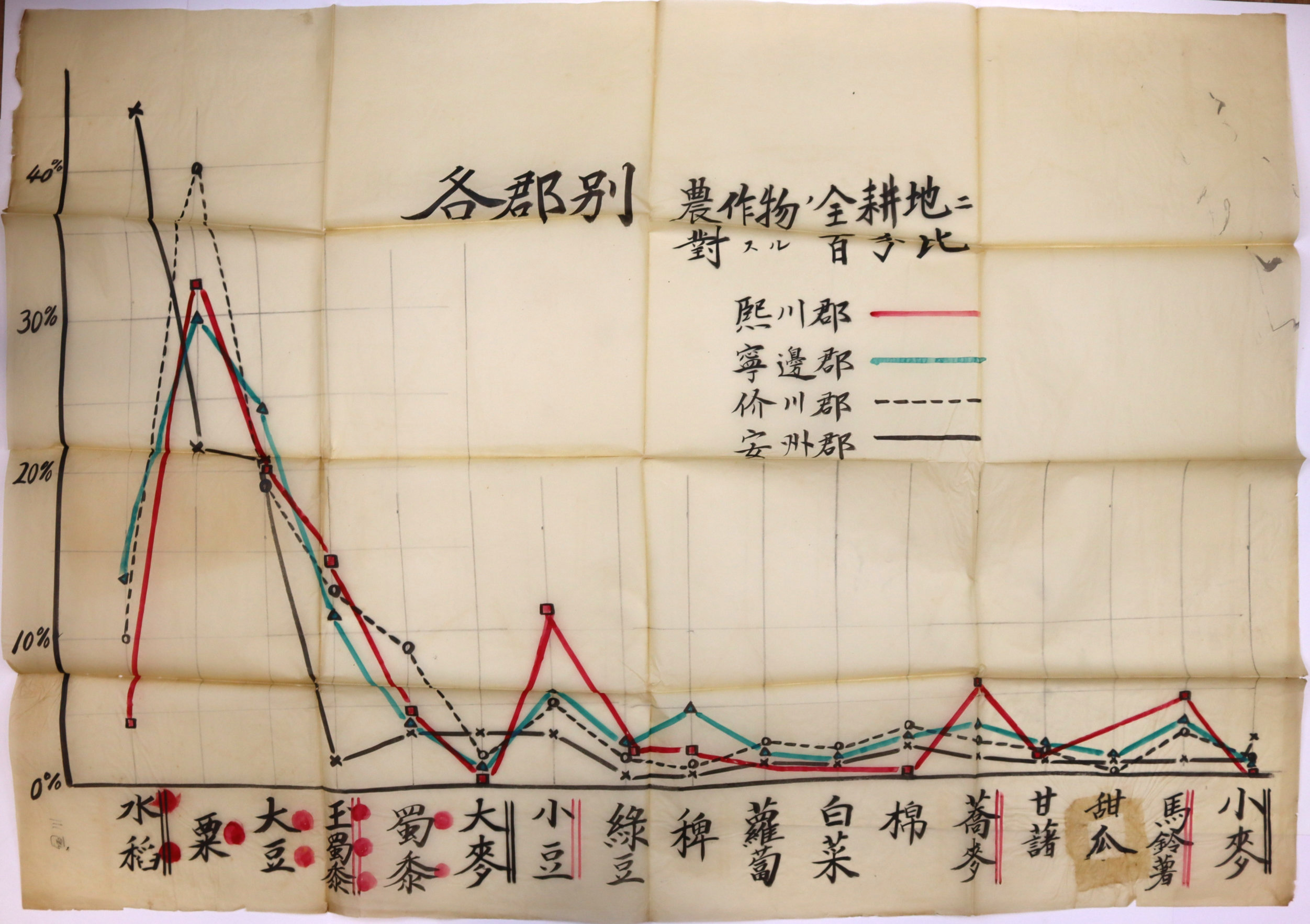
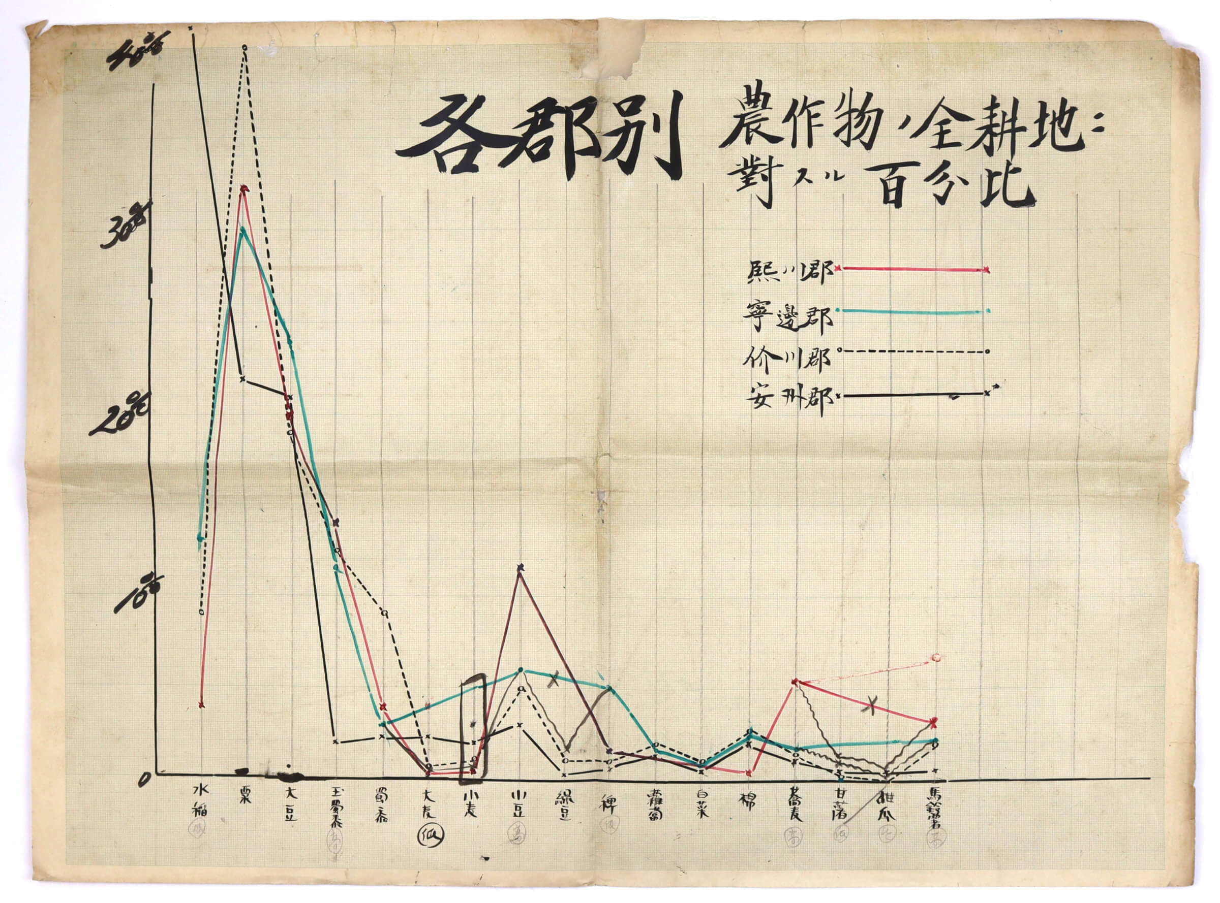
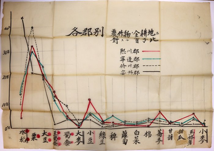
2) A statistical chart comparing crop distribution across Huichon, Nyongbyon, Kaechon, and Anju and showing the proportion of farmland devoted to specific crops in each region. The horizontal axis lists crops such as rice, millet, beans, grains, and vegetables, while the vertical axis measures land use from 0% to 40%. The chart indicates that rice and millet dominate cultivated land across all regions, whereas other crops such as buckwheat and vegetables occupy only minor shares.
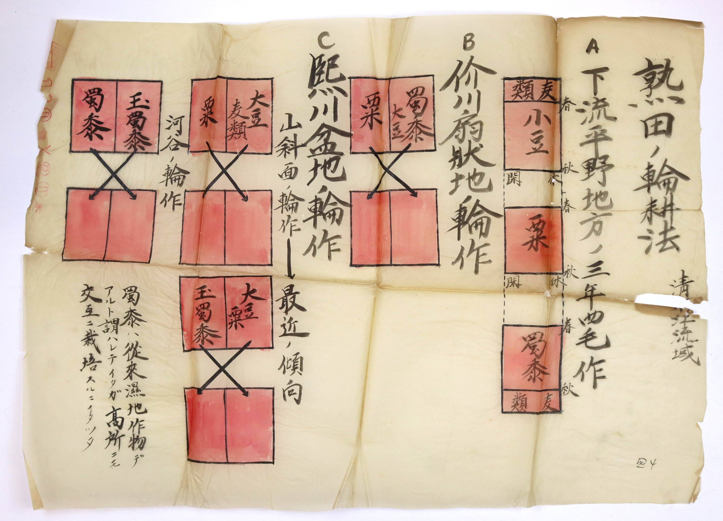
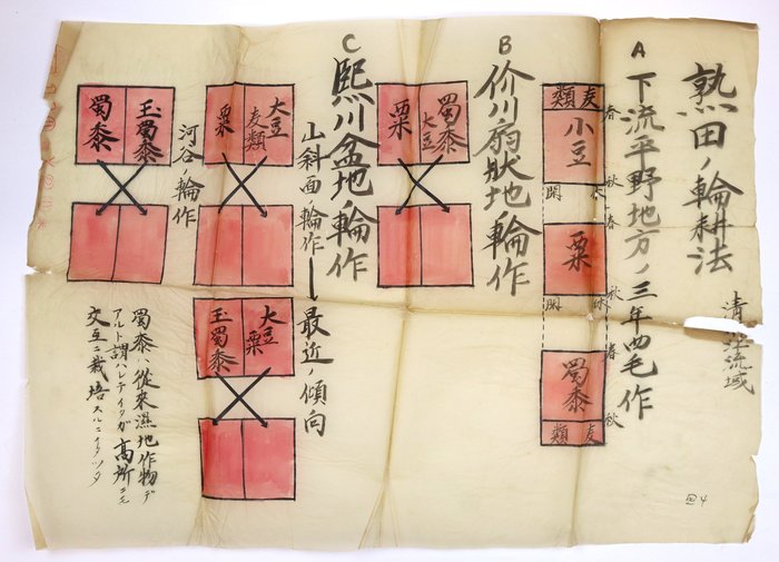
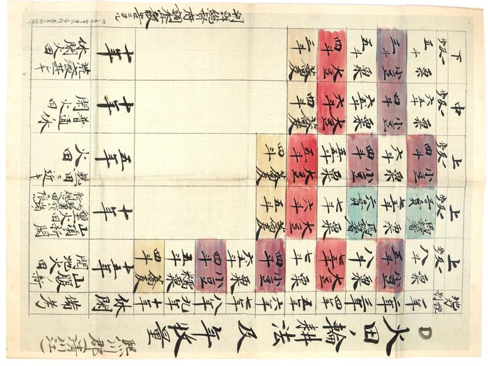
3) An agricultural diagram mapping crop rotation systems in established “mature fields” of the Chongchon River basin. It illustrates crop alternation across three topographical zones: the lower plains with an intensive three-year, four-crop cycle, the Kaechon alluvial fans, and the Huichon mountain basin, further divided into river valleys and slopes. Centered on millet, soybeans, wheat, and sorghum, it also notes a broader shift in cultivation, highlighting sorghum’s successful adaptation from traditional wetland use to higher-altitude farming.
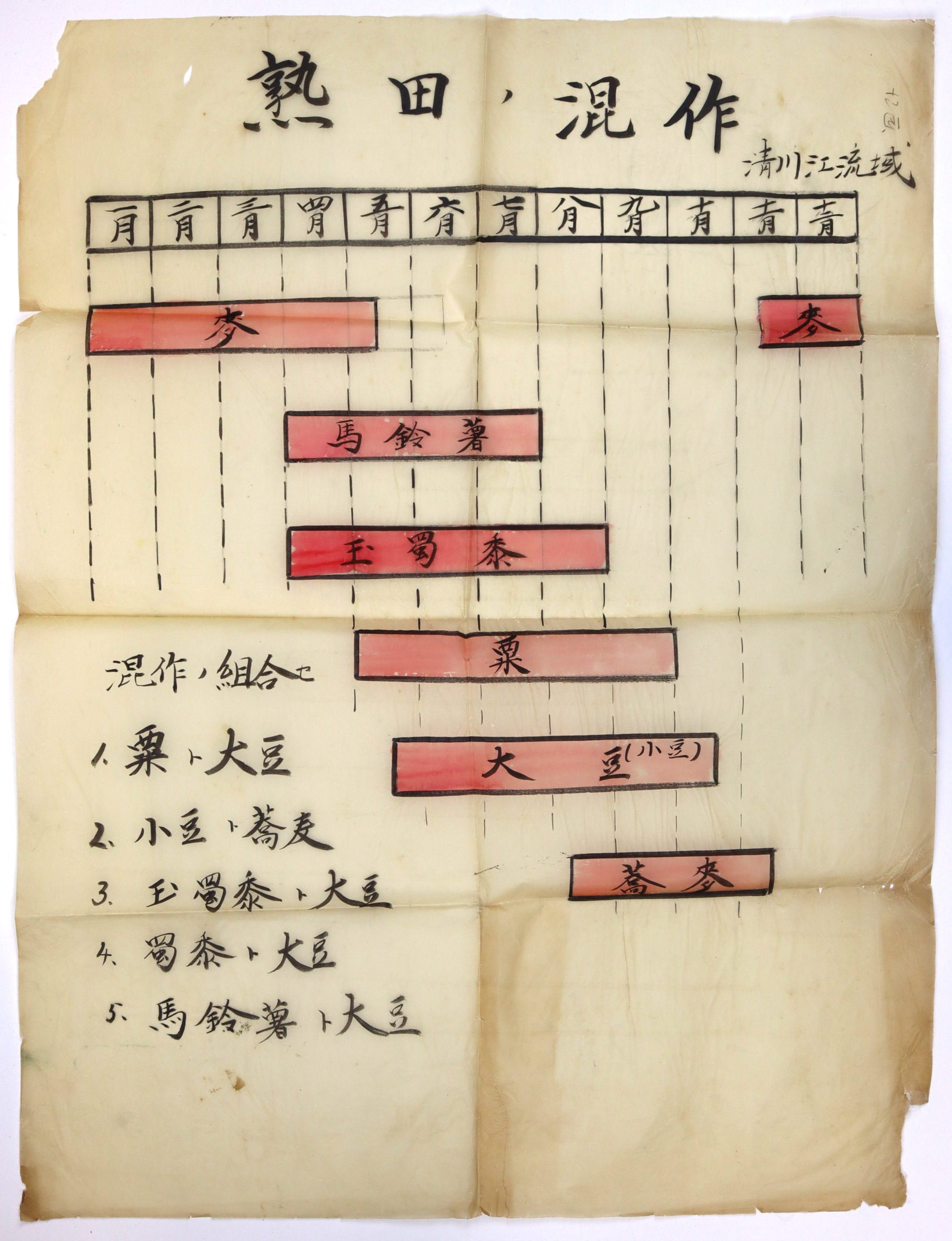
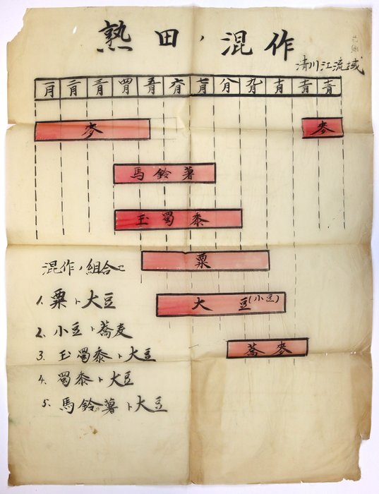
4) A seasonal calendar and reference sheet detailing traditional intercropping or companion planting practices for established fields along the Ch'ongch'on River basin. The top grid maps a twelve-month timeline showing the overlapping growing seasons of major crops like barley, potatoes, corn, millet, soybeans, and buckwheat. Below the timeline, the document catalogs five specific crop pairings traditionally used by local farmers (such as combining corn, millet, sorghum, or potatoes with nitrogen-fixing soybeans) to optimize field space and maximize soil fertility within a single growing season.
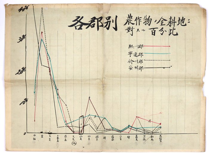
5) A hand-drawn statistical line graph showing the percentage of cultivated land devoted to different crops across four counties in northwestern Korea (Huichon, Nyongbyon, Kaechon, and Anju). The vertical axis measures land use from 0% to 40%, while the horizontal axis plots 17 crop types, including wet rice, millets, root vegetables, cotton, and wheat. The graph underscores strong regional variation: Anju’s flat plains, marked by a solid black line, peak above 40% for paddy rice, whereas the more mountainous counties show lower rice shares and higher concentrations of dry-field staples such as foxtail millet.
Overall, a historically significant scrapbook combining manuscript field notes and agricultural research on cultivation along the Chongchon River basin, offering a rare window into a region that has since become part of the closed world of North Korea.