#RA66
1903
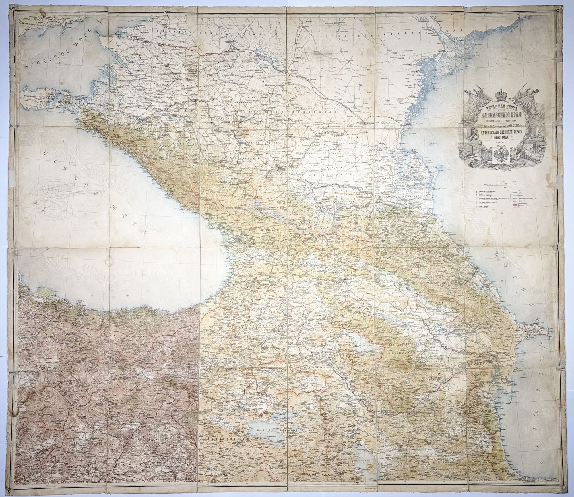
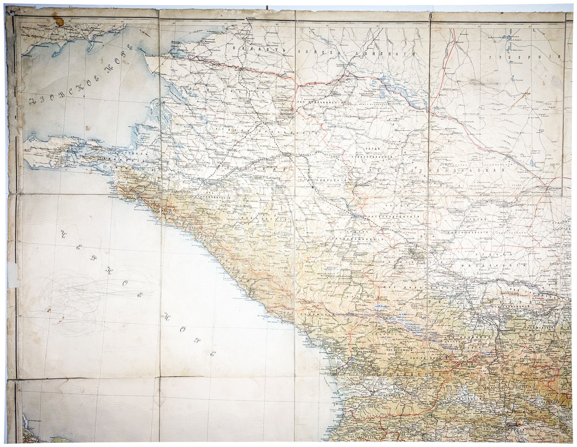
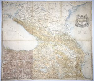
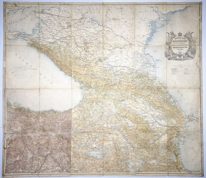
Ca. 132x149,5 cm. Large wall color lithographed map, consisting of 24 compartments, linen backed. Tears of the extremities or chipping on several compartments, light stains, pencil markings on the outer left compartments, but otherwise a very good map.
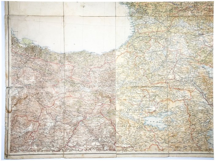
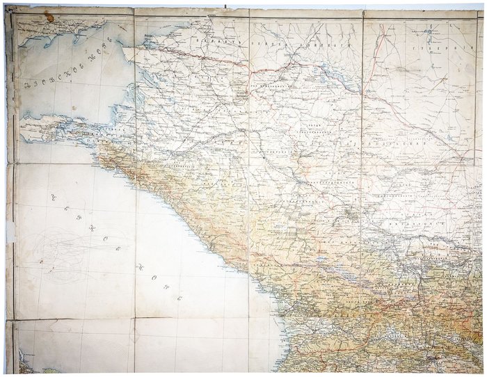
An early Russian large-size road map of the Caucasus Kray, capturing the region at the peak of its territorial expanse and development under the Russian Empire.
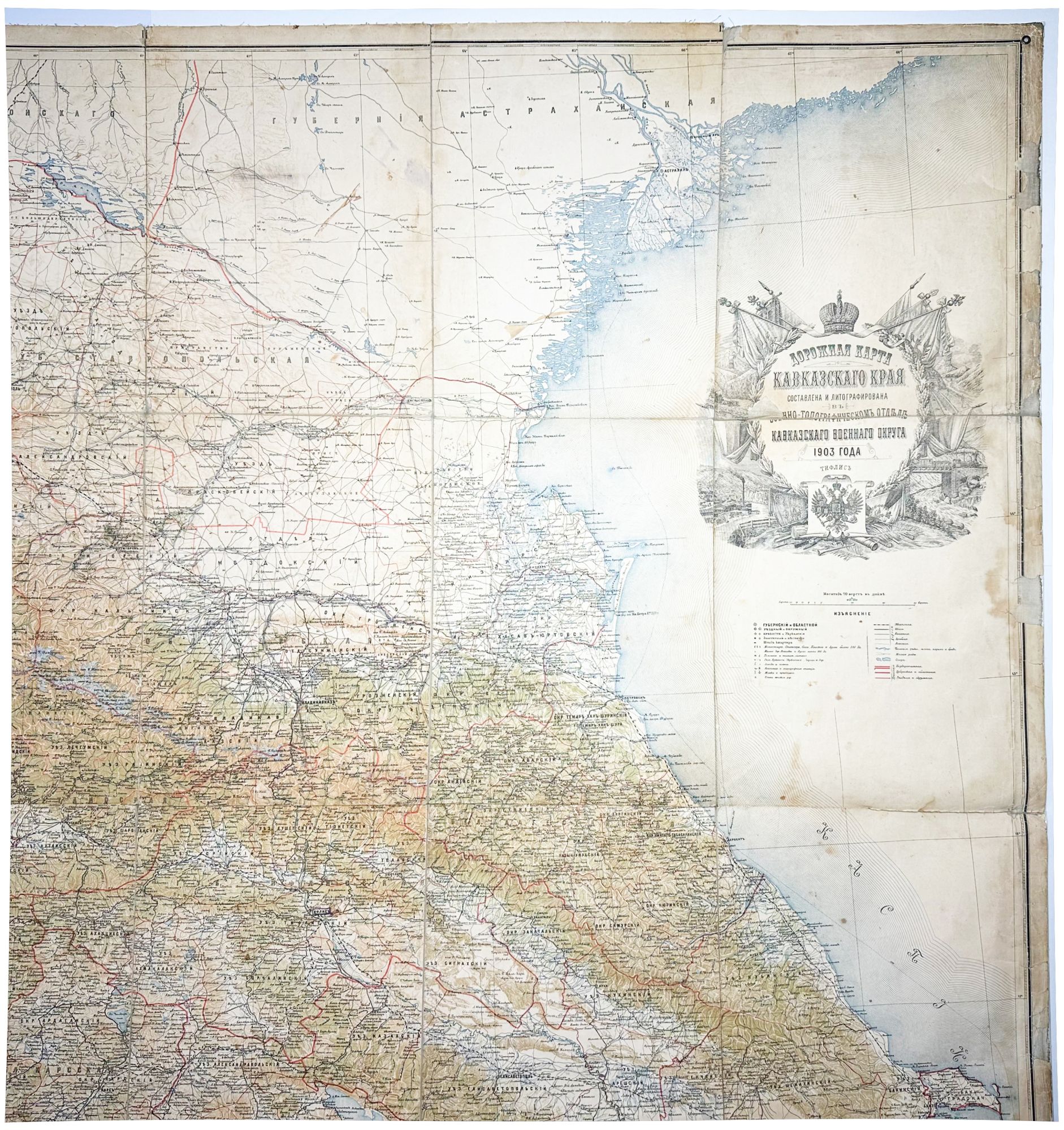
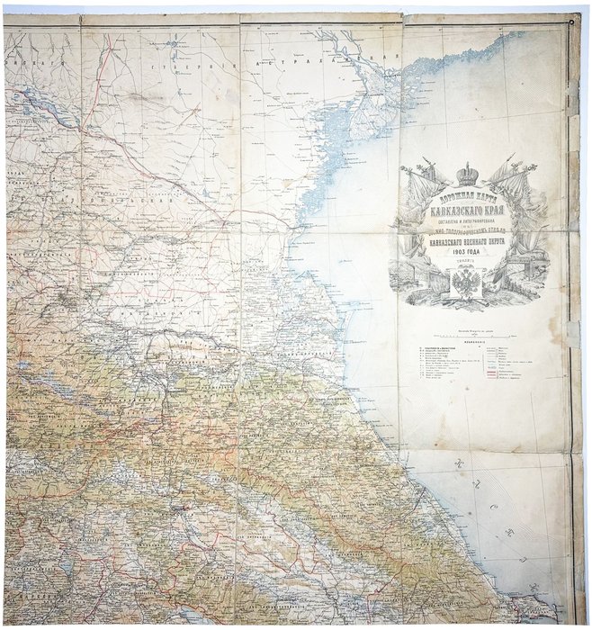
The map was issued by the Military Topographic Department of the Caucasian Military District in 1903, as the Caucasus gradually turned into a focal point of European, Ottoman, and Russian interests. According to the National Library of Russia, this is the last map of the Caucasus Kray published before World War I and the subsequent collapse of the Russian Empire.
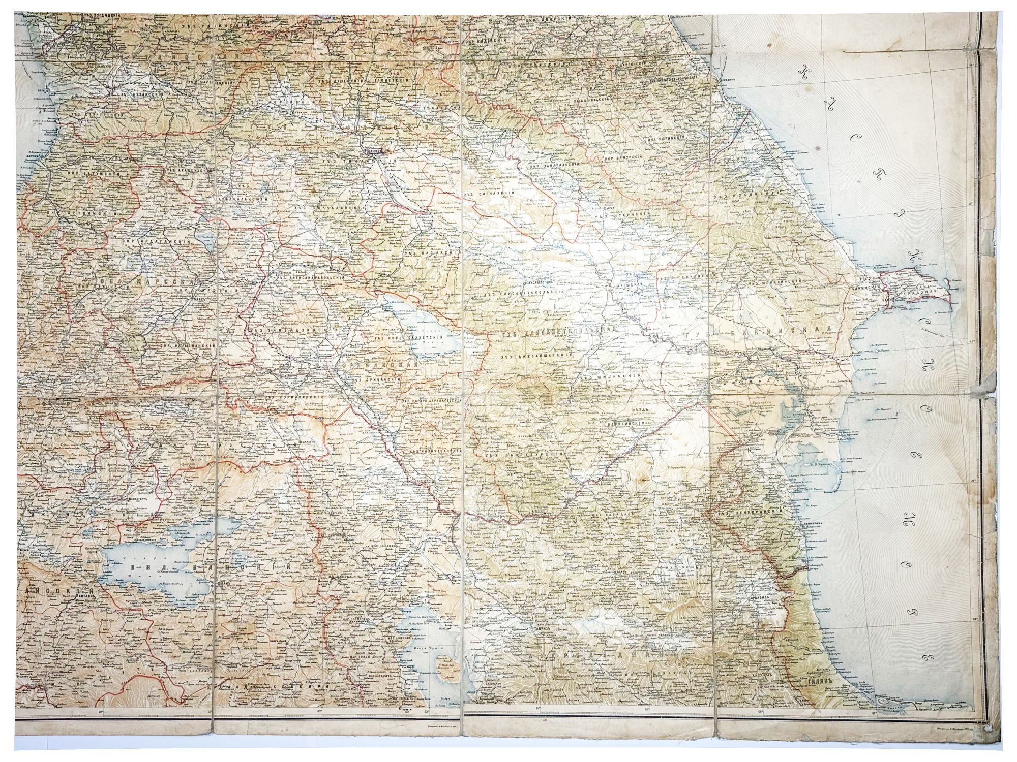
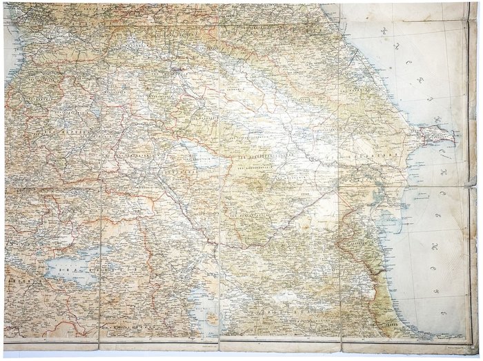
The map captures the Russian Empire in its prime, showing its vast territories from the Don Host Oblast and Astrakhan Governorate in the north to the Erevan Governorate in the south, with the Black Sea in the west and the Caspian Sea in the east. It features two governorates of the North Caucasus (Black Sea and Stavropol) alongside five governorates of the South Caucasus, including Kutaisi, Tbilisi, Baku, Elisavetpol, and Erevan. The map is likely the first to capture Zakatal (now part of Azerbaijan) as a distinct okrug, separated from the Tbilisi Governorate earlier that same year. Importantly, it also delineates later-contested Nakhchivan okrug (now part of Azerbaijan) as part of the Erevan Governorate and the Zangezur okrug (now part of Armenia) & Karabakh territories (now part of Azerbaijan & Armenia) as part of the Elisavetpol Governorate.
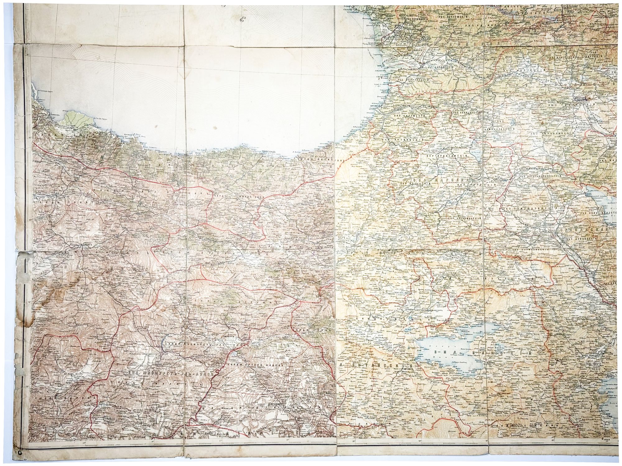
South of the Caucasus Kray, the map extends into the northern provinces of the Ottoman Empire (Van and Bitlis vilayets, etc.), and parts of Iranian Azerbaijan, spanning from Qatur in the west to Ardabil in the east. It meticulously outlines the borders between the Russian and Ottoman Empires, with Kars oblast (comprising Kars, Ardahan, and Erzurum okrugs), as well as Artvin and Igdir okrugs, depicted as integral parts of Russia (today all part of Turkey). The map also shows the territories of the Kerch Peninsula and Kuban oblast in the east, as well as the Dagestan Oblast in the east.
In addition to Russia’s vast territorial holdings, the map vividly documents the Empire’s advanced communication infrastructure, highlighting the major railway lines of the era, including the Transcaucasian Railway from the port city of Poti to Baku, with newly-built branch lines from Tbilisi to Kars (1899) and from Baku to Petrovsk (today Makhachkala) (1900). Another significant railway captured is the Vladikavkaz Railway, with branch lines from Rostov-on-Don to Vladikavkaz (opened in 1875), as well as routes from Yekaterinodar (today Krasnodar) to Stavropol, and Tikhoretskaya to Novorossiysk (1887-88).
The map is densely annotated, with all necessary geographic information, including districts, fortresses and fortifications, monasteries, stations, villages, colonies, auls, small village settlements, reconnaissance fortresses, factories, posts, post and telegraph stations, lighthouses, piers, railway stations, roads, rivers, bridges, ferries, and lakes, offering a glimpse into the infrastructural realities of the region in the early 20th century.
Overall, an early Russian large-size road map of the Caucasus Kray, capturing the region at the peak of its territorial expanse and development under the Russian Empire.

