#O44
1824
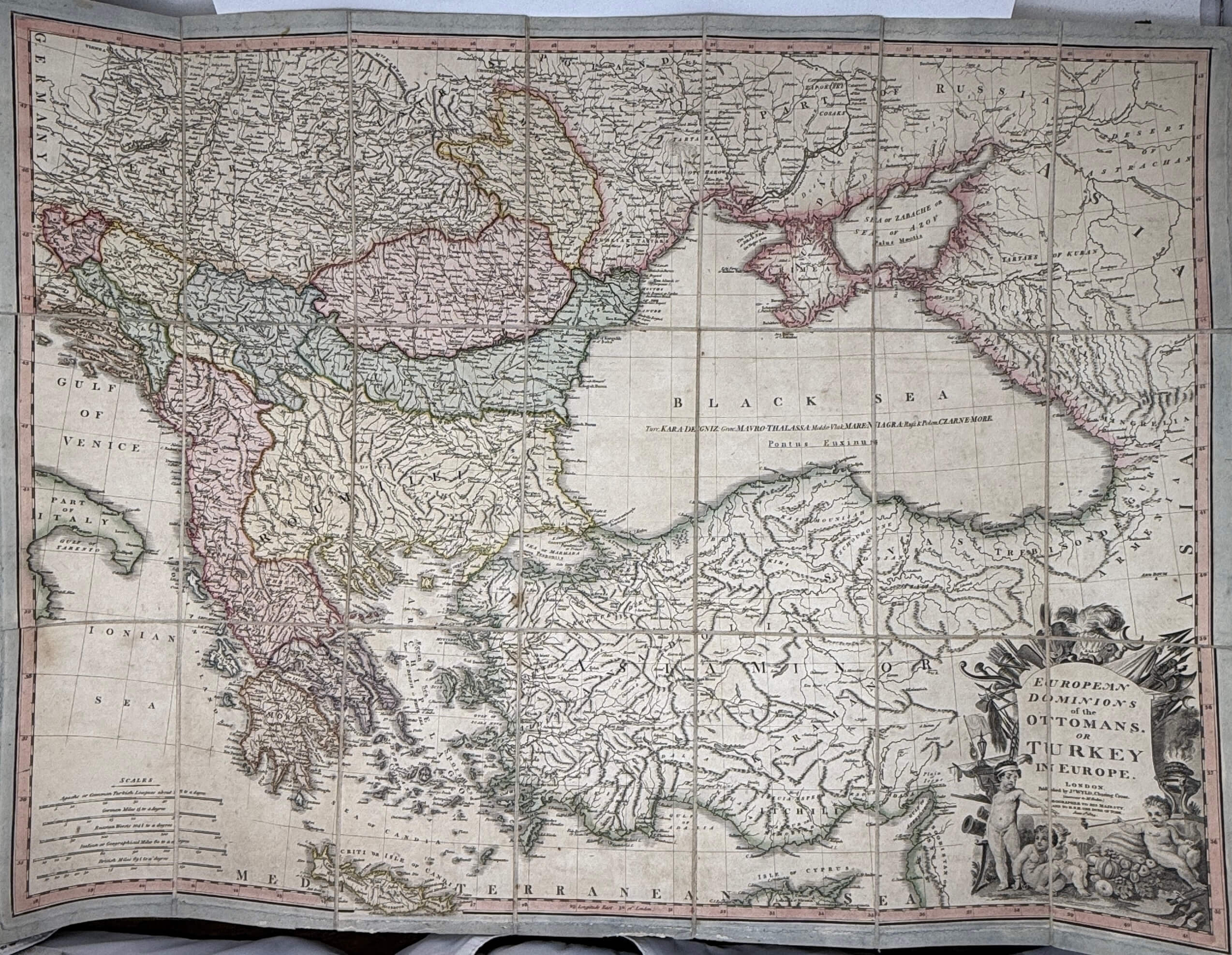
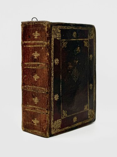
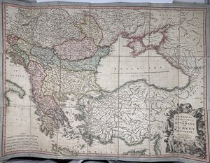
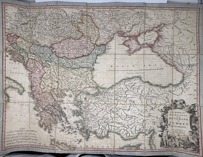
First Edition. Engraved folding map, outline hand coloured, with an elaborate cartouche, mounted in segments on cloth ca. 78 x 57,5 cm (23 x 30 inches) The map is housed in a period maroon gilt titled quarter straight grained morocco slip case with marbled boards. Map in very good condition, slip case with mild wear of extremities.
James Wyld Senior was a noted map publisher, geographer and engraver, and the Royal Geographer, based at the Charing Cross. He succeeded mapmaker William Faden and reissued many of his maps. Wyld maintained the high standard of graphic and factual excellence that had been established by his predecessor and his maps are among the finest published in the early nineteenth century (Tooley, vol. Q-Z, 415-416). This map of the Ottoman Empire’s possessions in Europe includes the Balkans and Anatolia.

