#MA4
Ca. 1928-1934
Folio scrapbook (ca. 31,5x27 cm or 12 ½ x 10 ½ in). 71 thick paper leaves. With 109 mounted original gelatin silver photos, including one large image ca. 12x17 cm (4 ¾ x 6 ¾ in), one three-part (ca. 5,5x23 cm or 2 ¼ x 9 in) and one two-part panorama (5,5x16 cm or 2 ¼ x 6 ¼ in); the rest of the photos are from ca. 8,5x14,5 cm (3 ½ x 5 ¼ in) to ca. 6x8,5 cm (2 ¼ x 3 ¼ in). Over eighty photos with period manuscript or typewritten captions or dates on the images. With five loosely inserted gelatin silver photos, from ca. 8x13 cm (3x5 in) to ca. 5,5x8 cm (2x3 in). With five mounted printed and lithographed maps (see the list below). With seven mounted pieces of various printed ephemera (see the list below). With ca. 240 mounted period newspaper clippings of various sizes, most with printed or handwritten names of newspapers and dates. Period green full cloth album; colour printed generic title “Scrap Book” on the front board and the spine. The compiler’s manuscript inscriptions “Return to F.L. Waller, Portland, Oregon” on the inner sides of both boards. Binding rubbed and slightly worn, corners bumped, spine with tears on both hinges, several leaves with minor tears on the margins not affecting the images, a few photos mildly faded, but overall a very good collection of interesting photos.
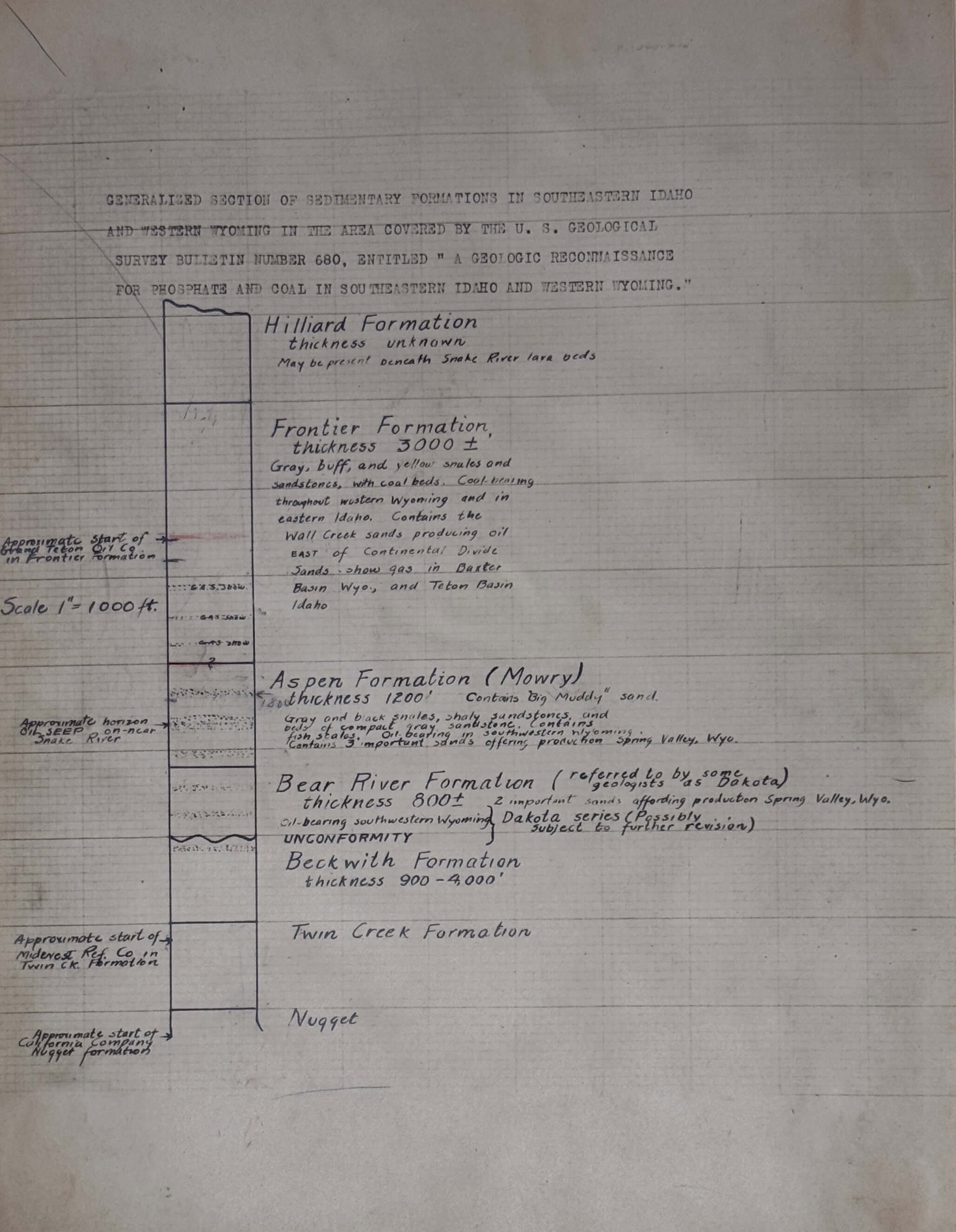
Historically significant extensive collection of original gelatin silver photos, carefully selected, labelled and dated newspaper clippings, printed and lithographed maps and rare ephemera documenting the history of the “Grand Teton Oil Company,” which drilled for oil in the Horseshoe Anticline near Driggs (Teton County, Eastern Idaho) in ca. 1928 – early 1930s, but closed down, apparently due to non-sufficient quantities of extracted oil and financial issues amid the Great Depression.
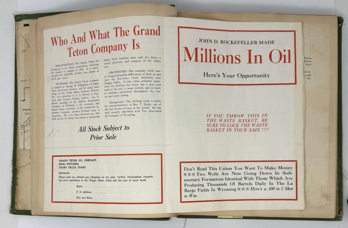
The “Grand Teton Oil Co.” was formed “with Oregon and Idaho capital” in 1928 and leased “approximately 8000 acres of land on and near the Horseshoe Creek Anticline,” including former holdings and oil drilling sites of the “Teton Valley Land and Leasing Company.” The “Grant Teton Oil’s” President was a local attorney and former mayor of Idaho Falls, George W. Edgington (1882-1941); the other members of the board of directors were Idaho Falls citizens Nils Hoff (a businessman) and H.R. Hatch (a physician), and Oregonians A.L. Brown (a realtor), Leo F. Smith (a manager) and Ralph Stone (a secretary of an insurance company). The company’s consulting geologist was Christion Vrang (1887-1973), who was previously involved in the development of the La Barge oil field in Wyoming. “The Grand Teton” “installed additional well-drilling equipment and started sinking two wells known as Blevins No. 1 and Bevan No. 1. During 1930 Blevins No. 1 was extended 1500 ft. and Bevan No. 1 100 ft. This company was one of the most active oil prospecting enterprises in the State during the year” (Thirty-Second Annual Report of the Mining Industry of Idaho…, 1930, p. 270). The drilling didn’t bring sufficient quantities of oil and gas, and by 1938 “The Grand Teton Oil Co.” was in a list of Oregon corporations which hadn’t paid their license fees for two or more years (Special Notices// The Oregonian. January 5, 1938, p. 13).
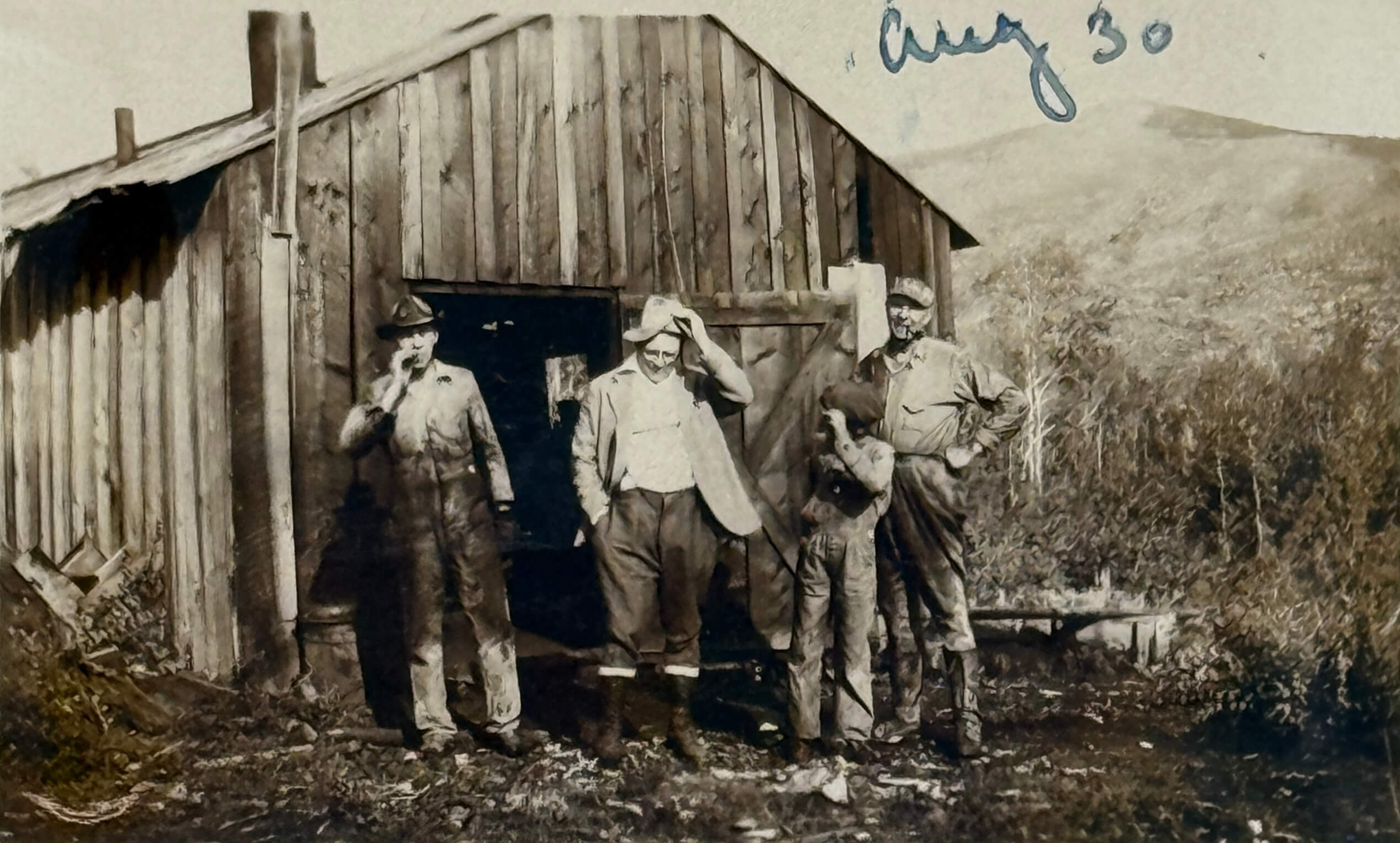
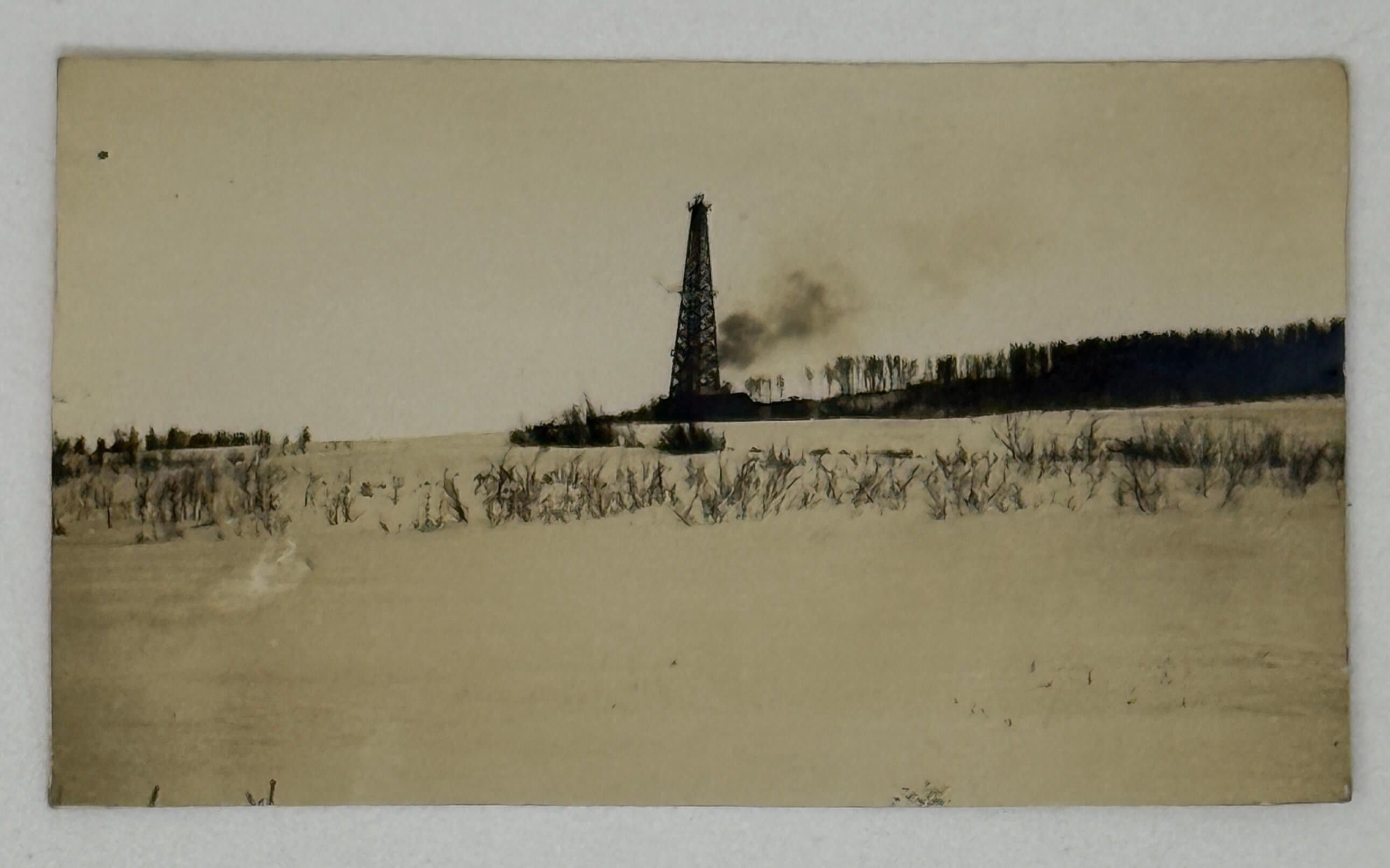
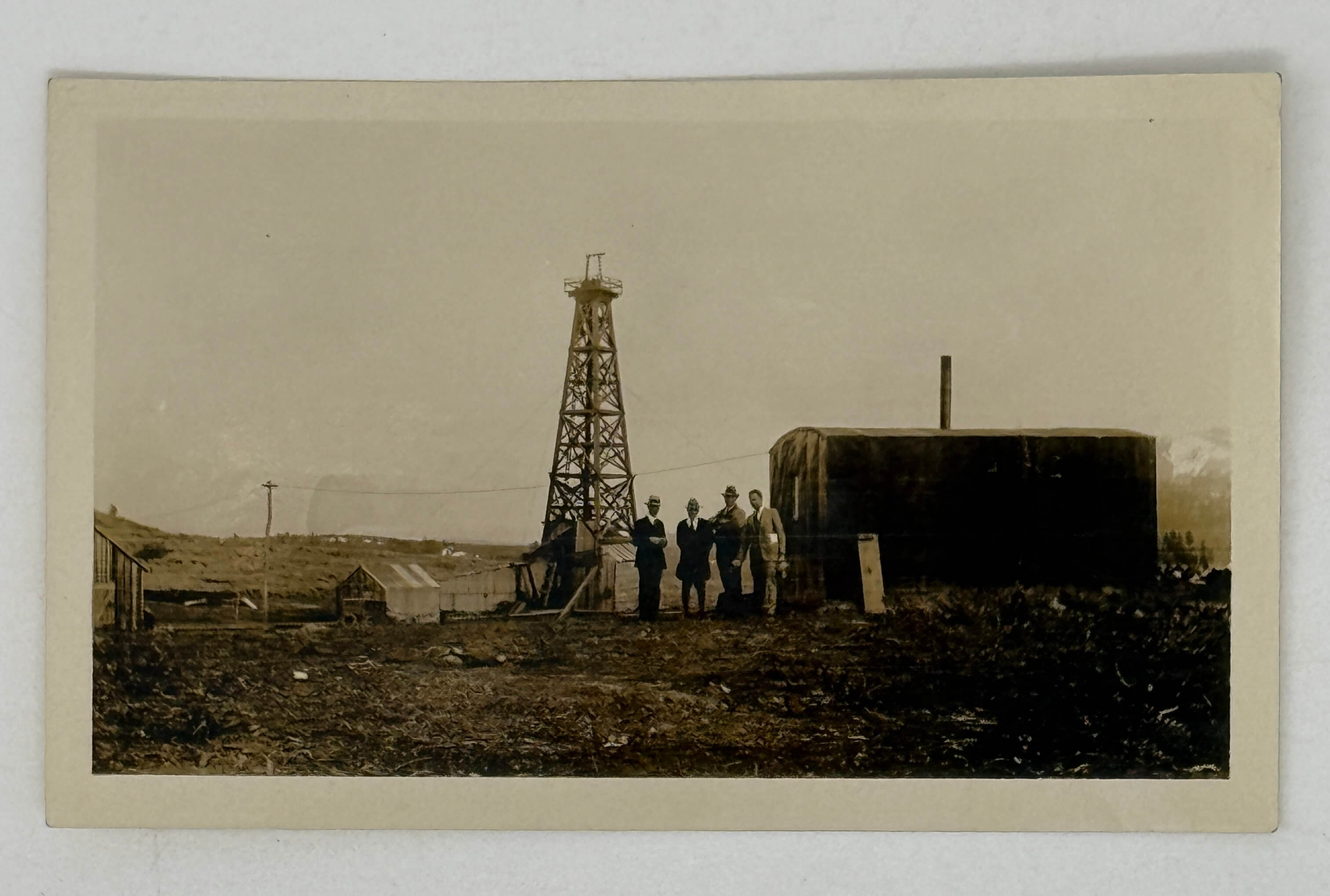
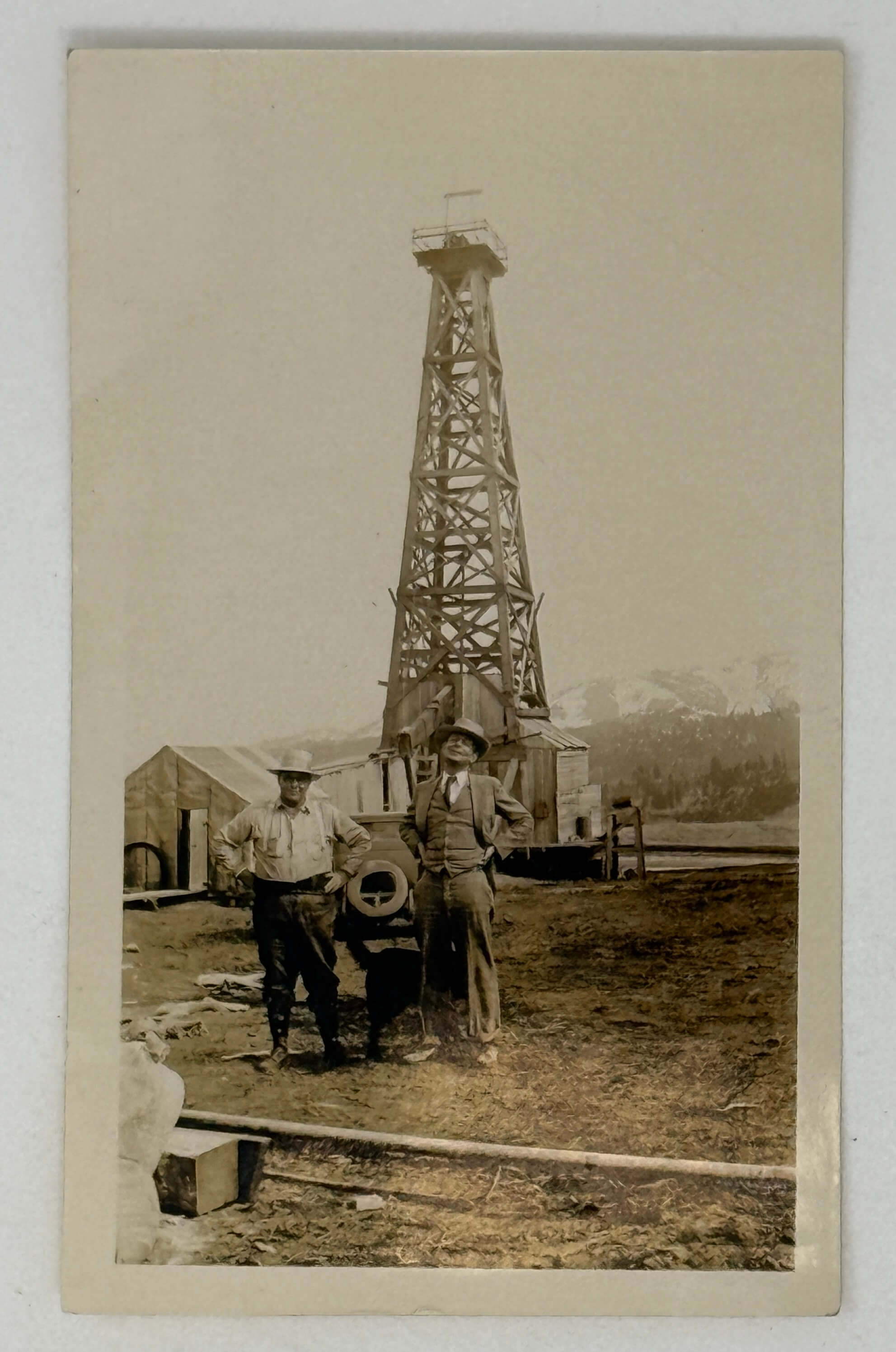
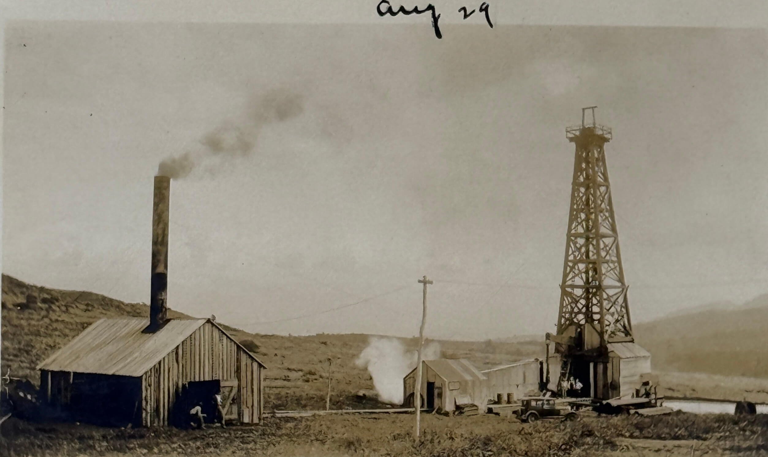
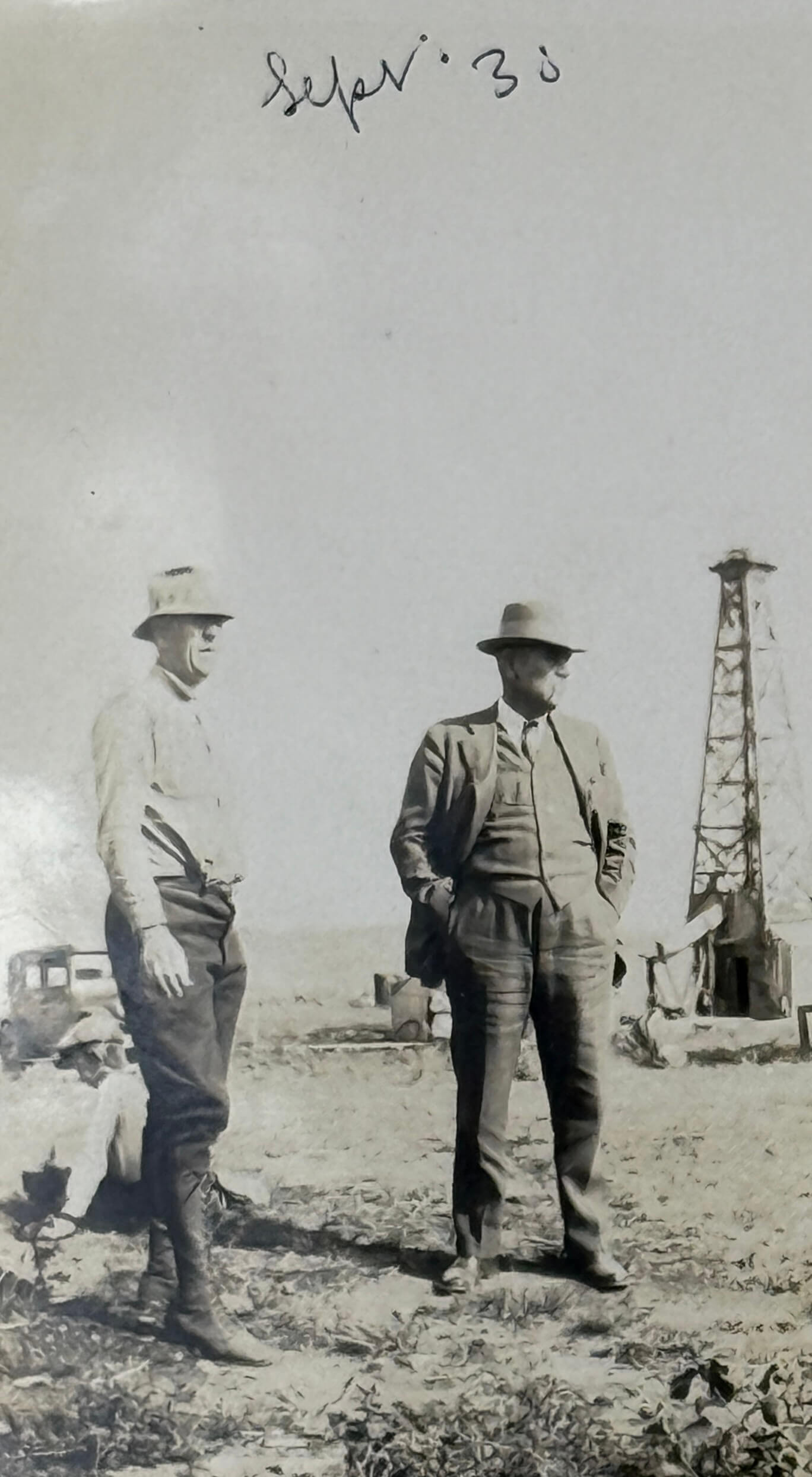
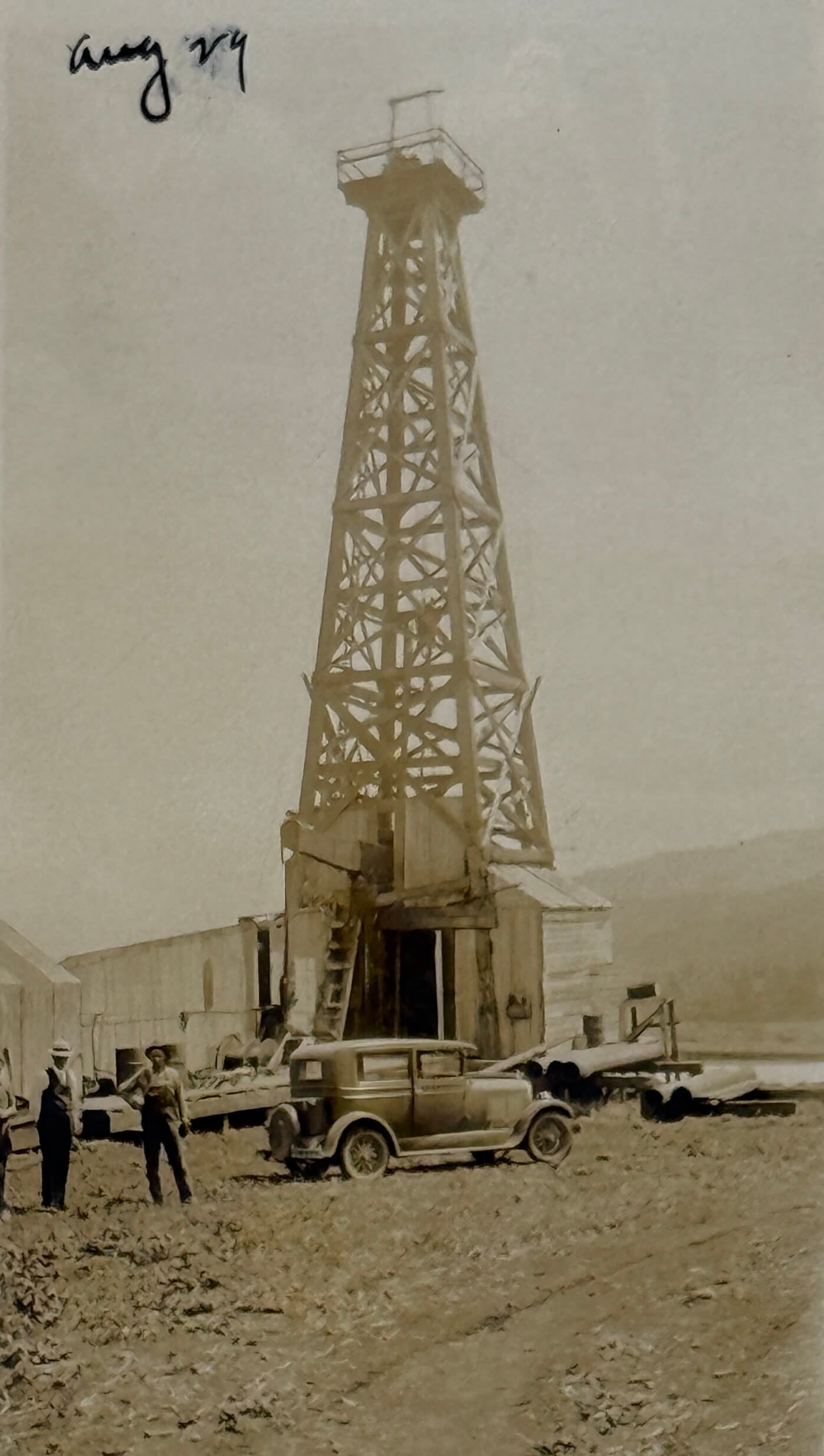
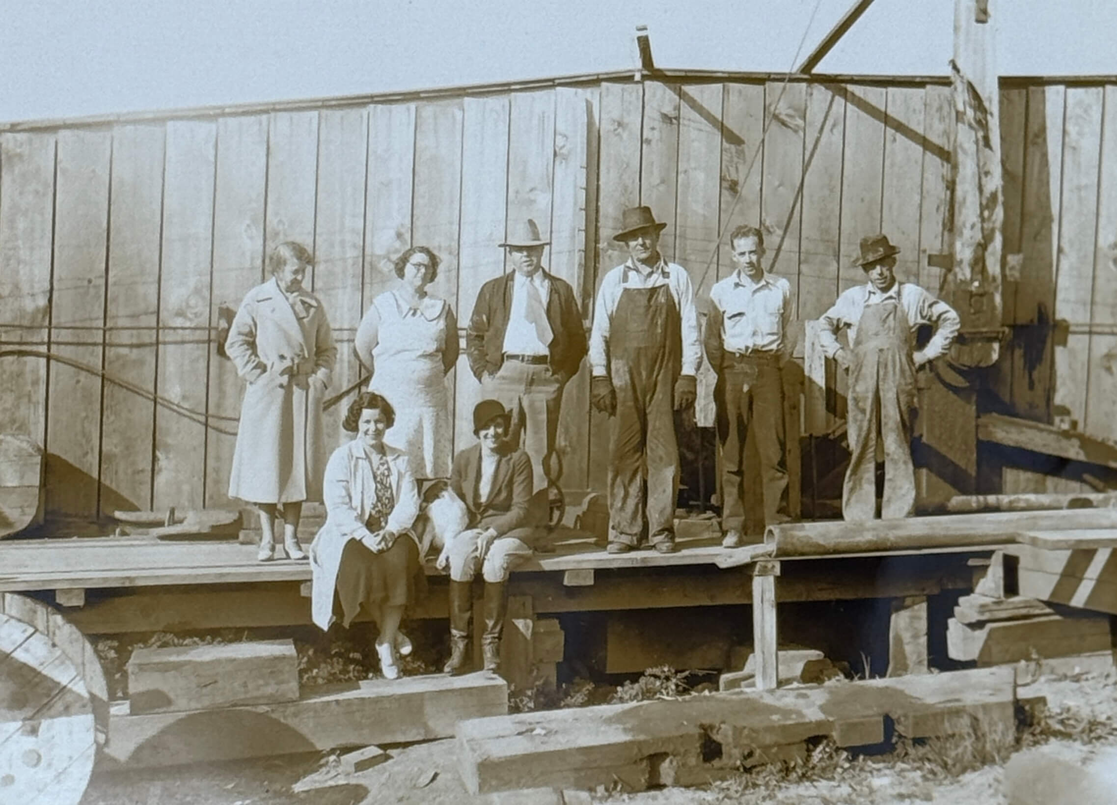
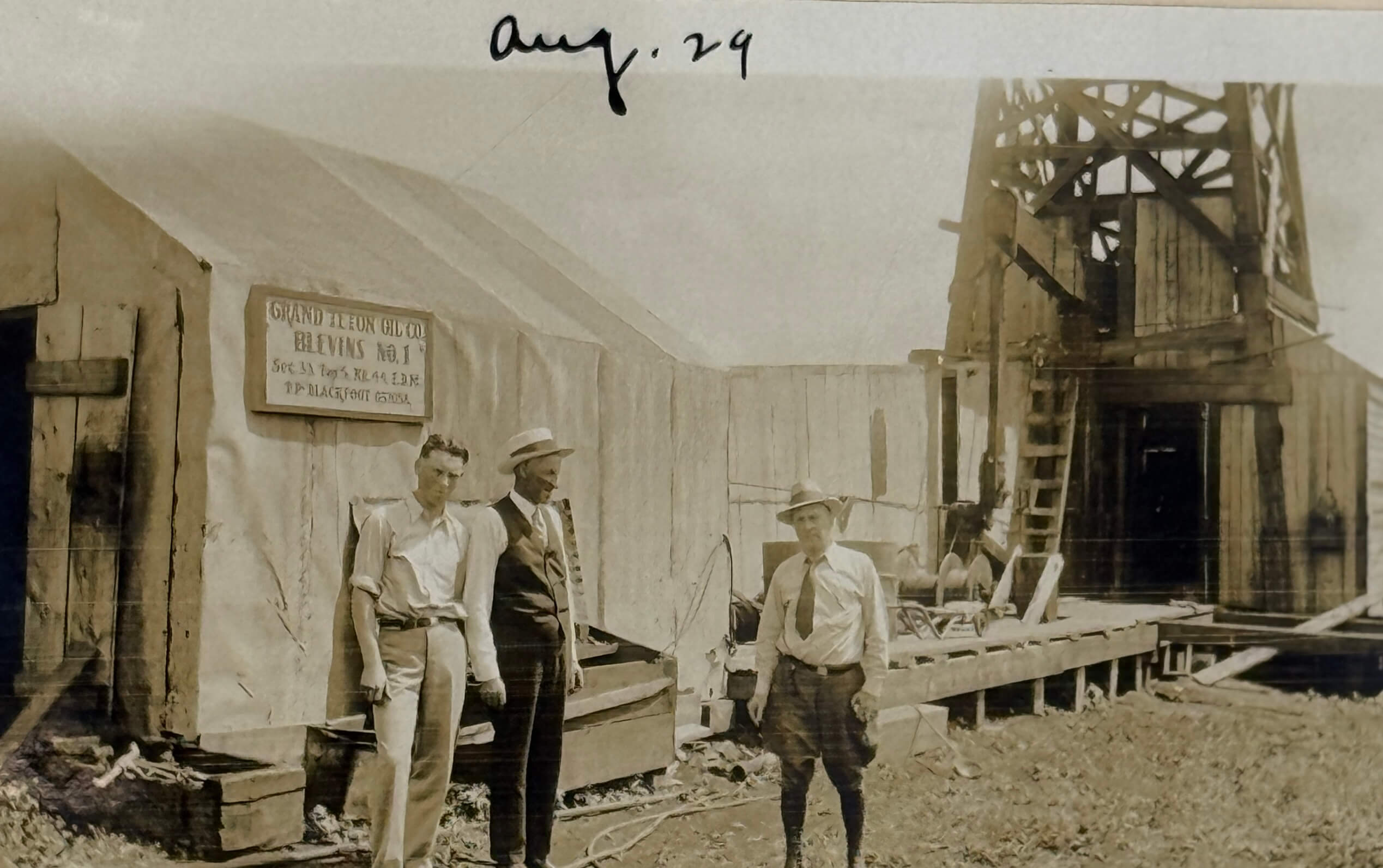
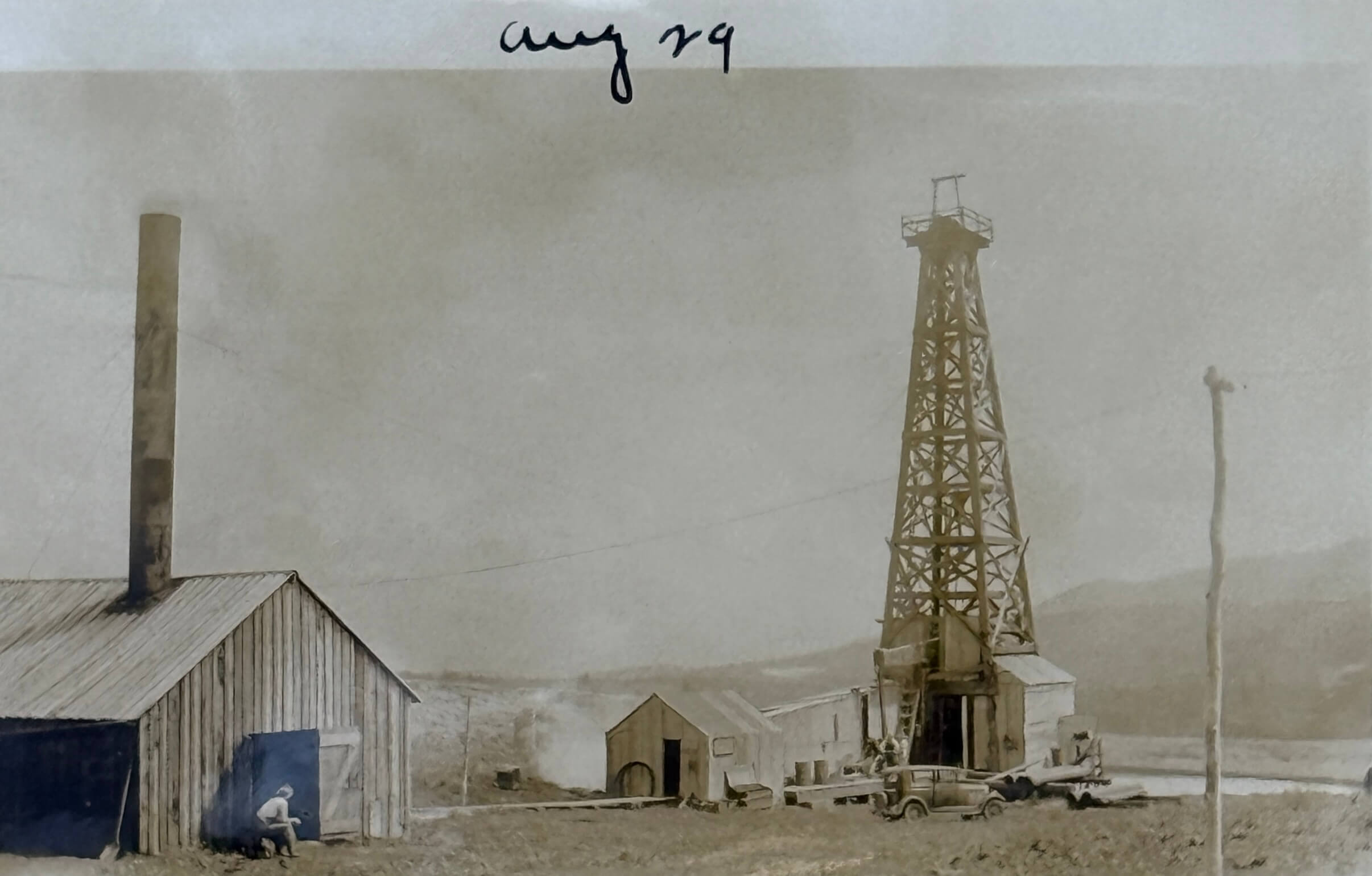
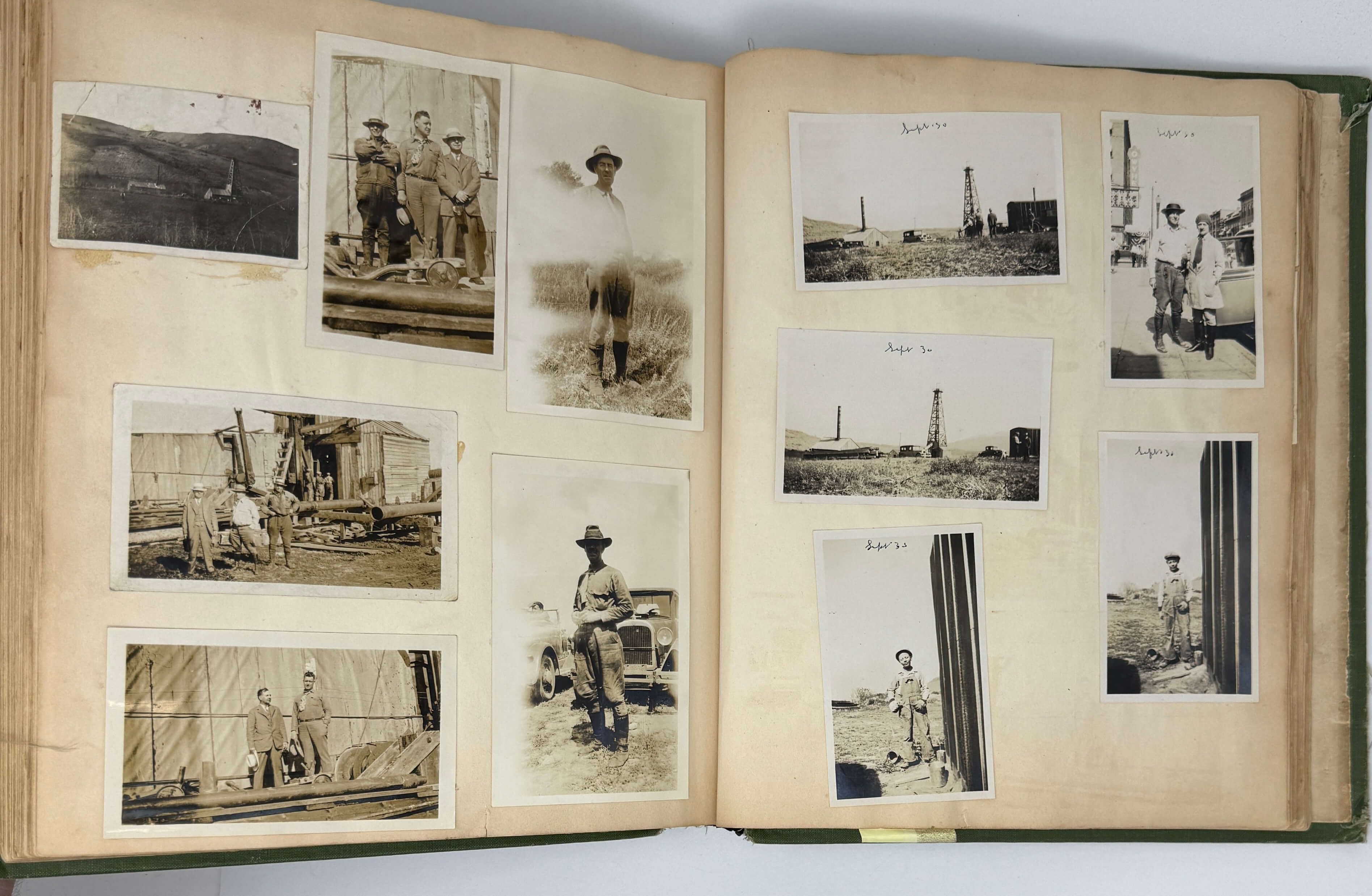
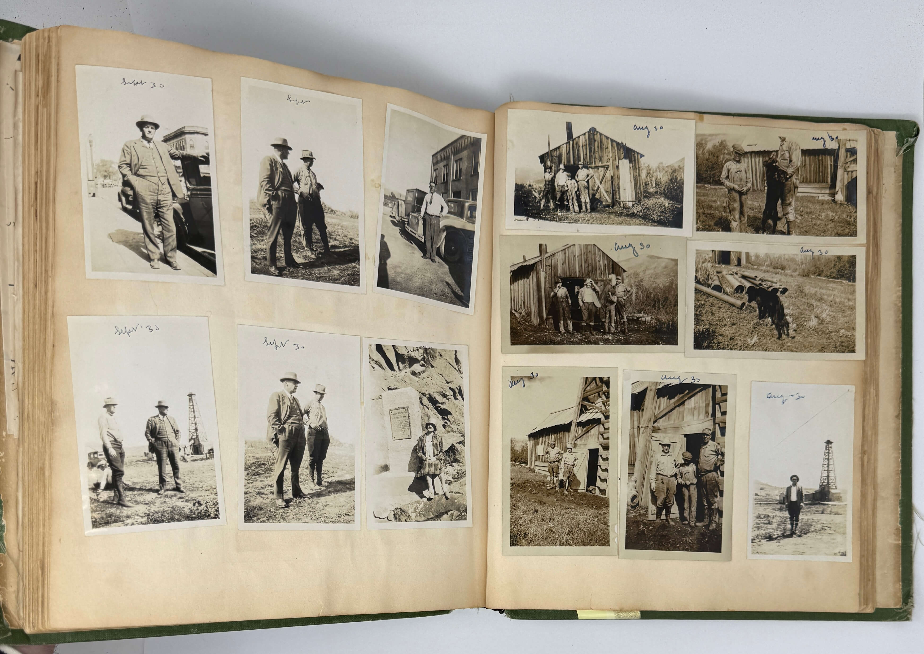
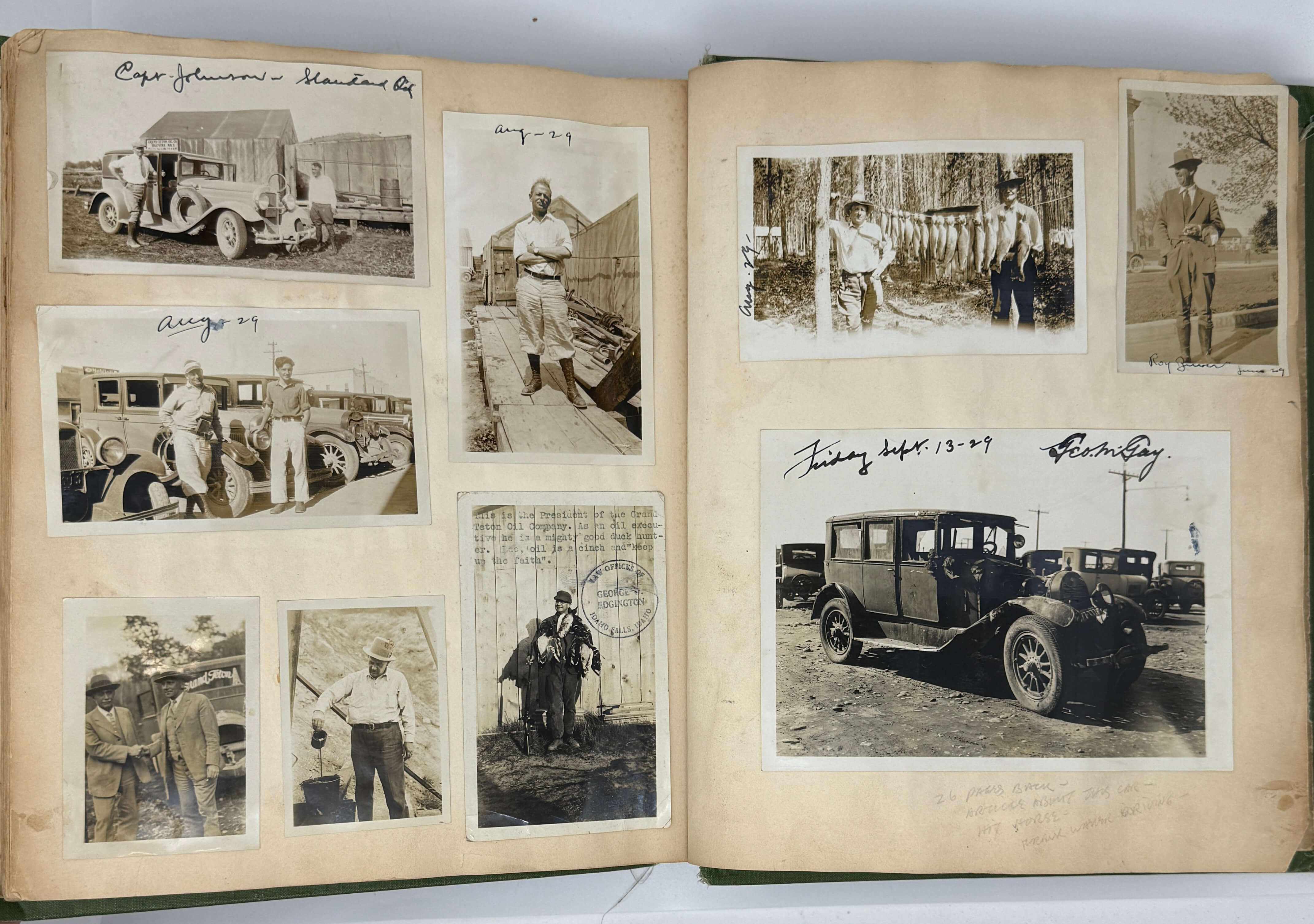
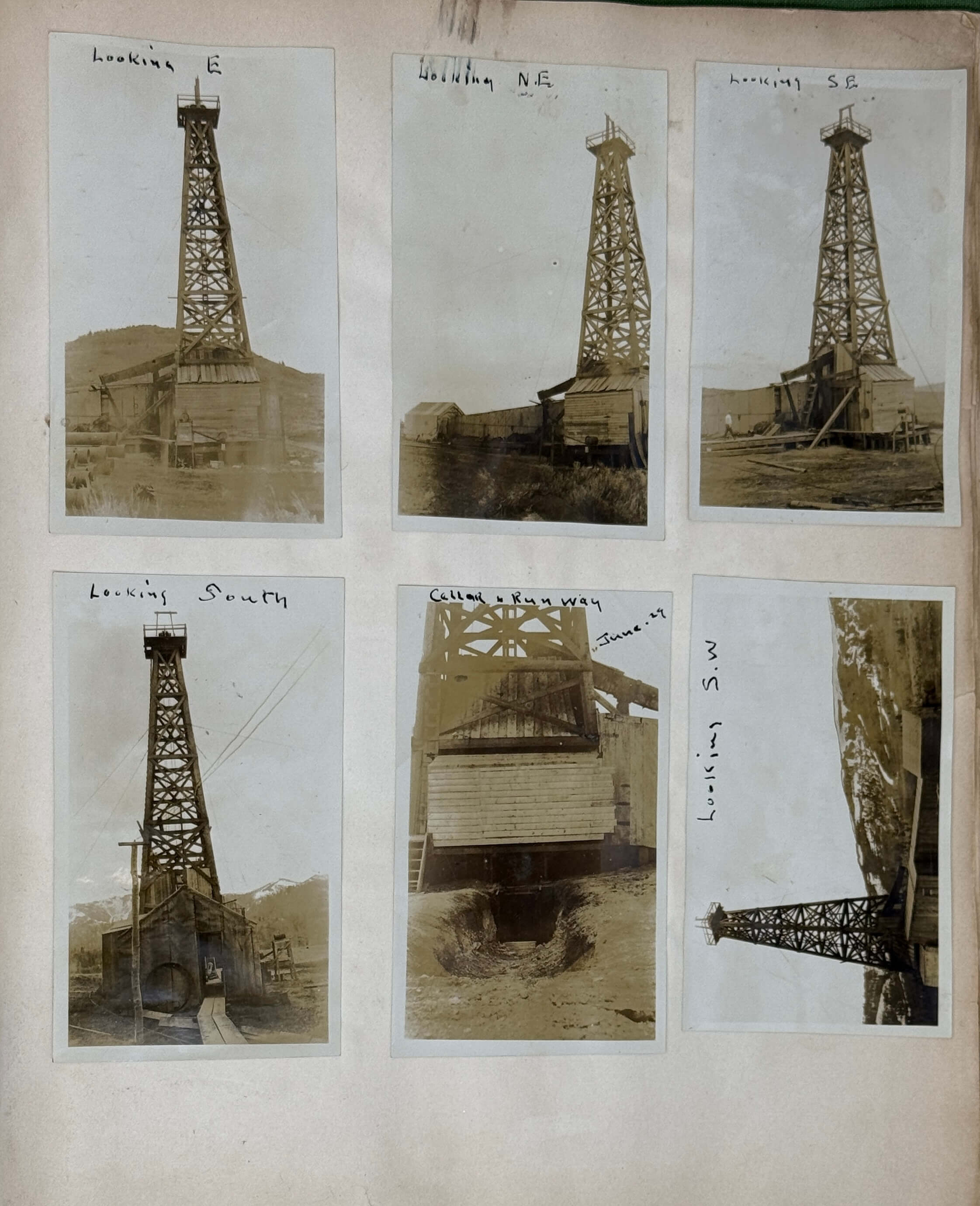
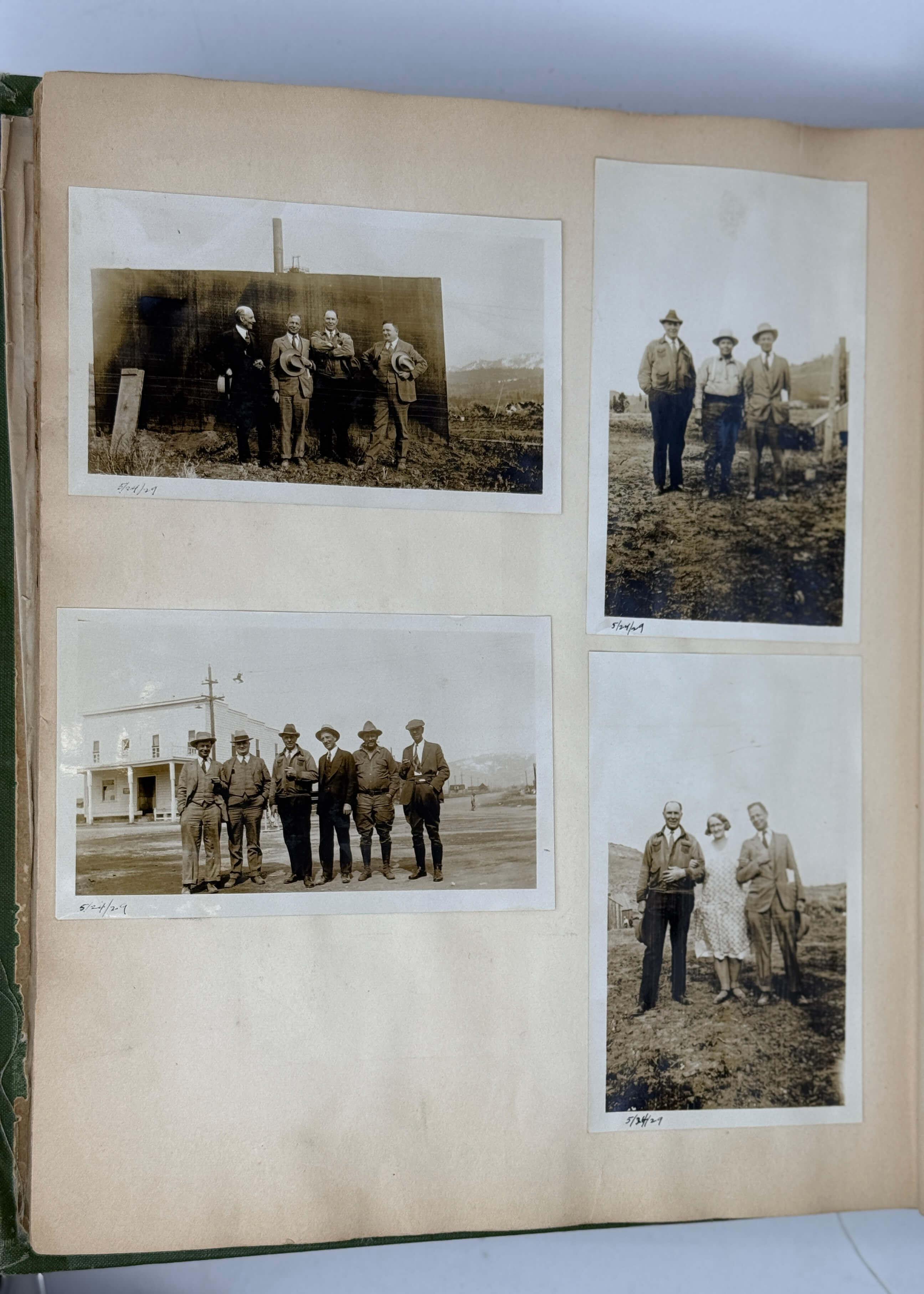
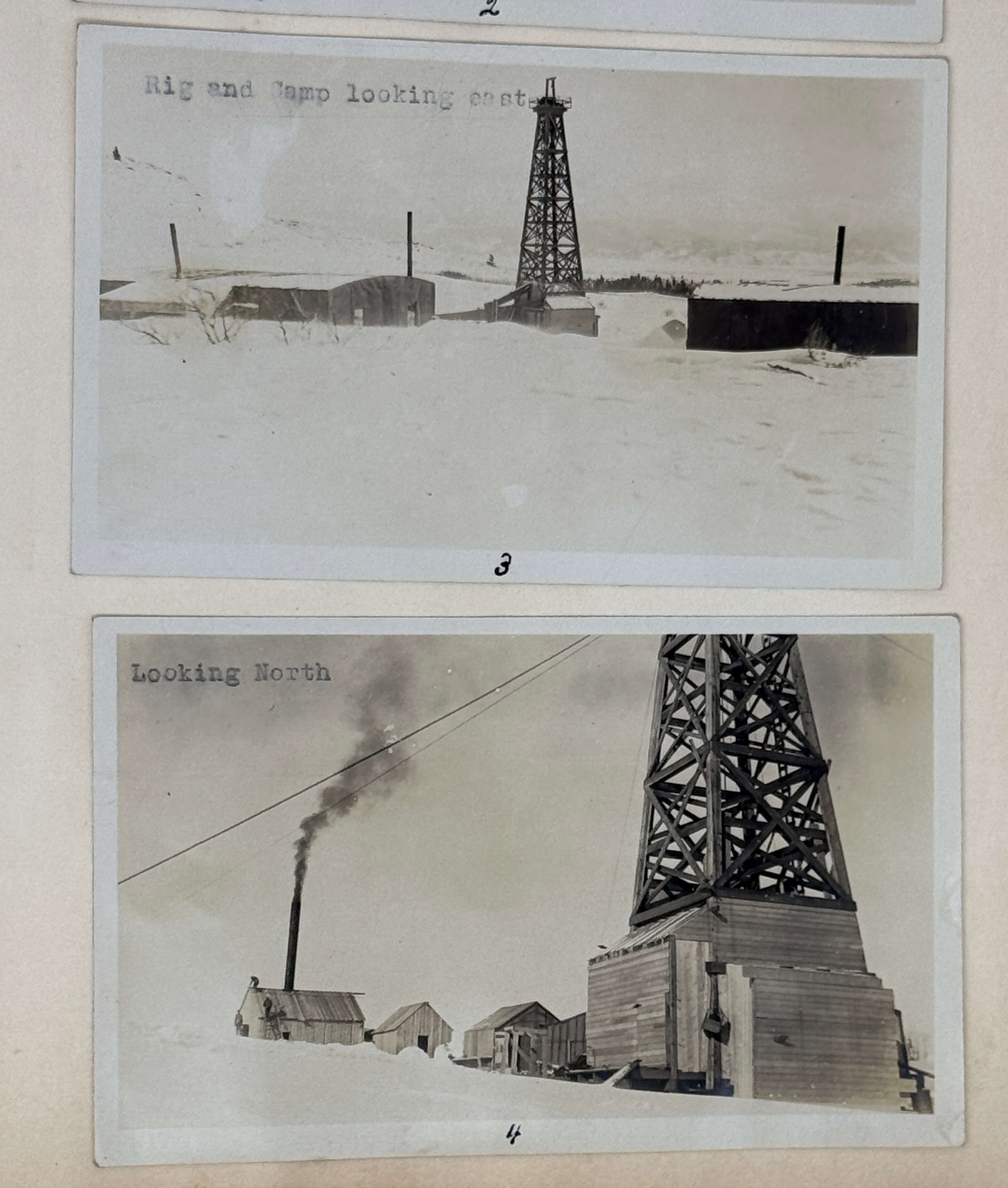
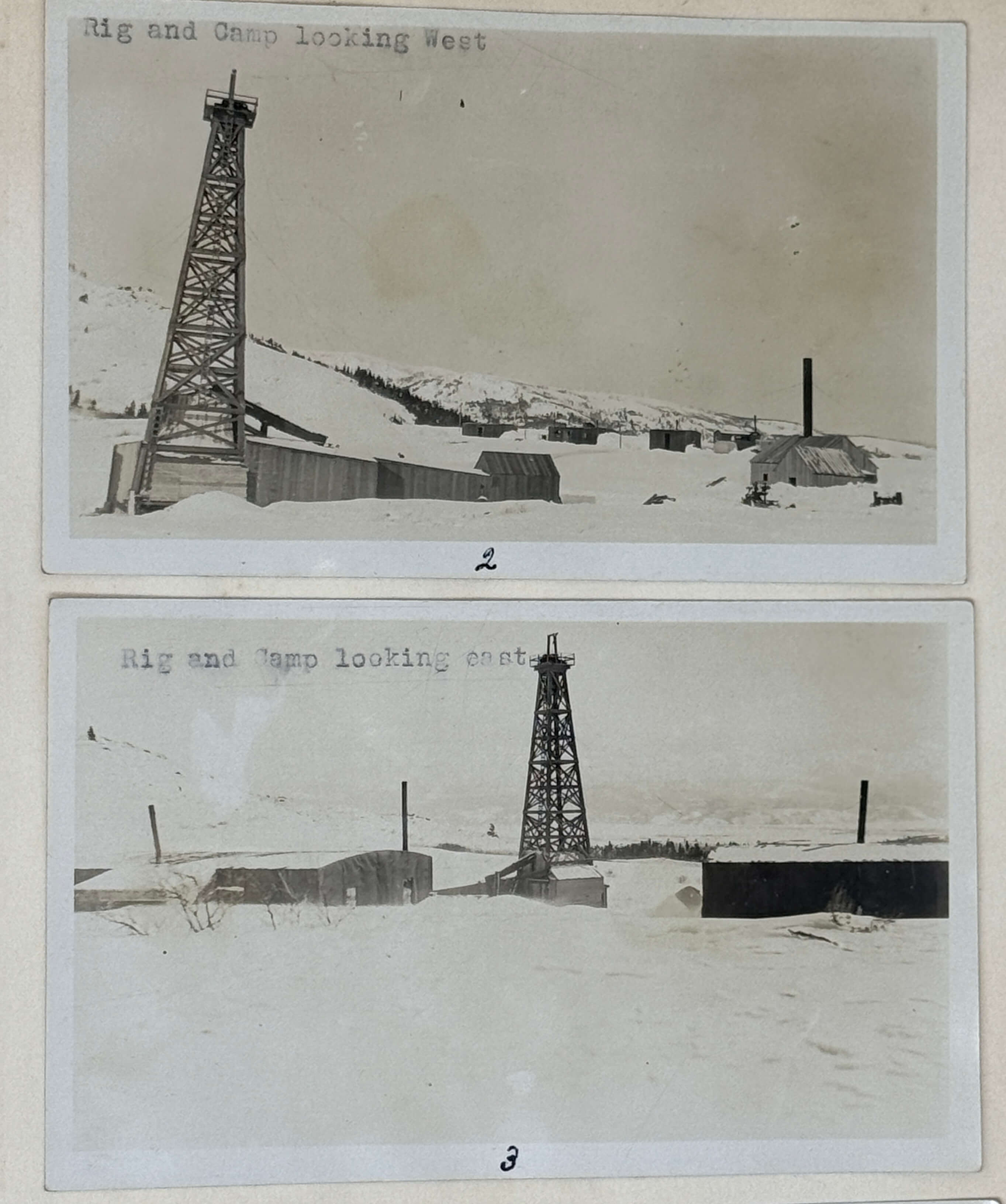
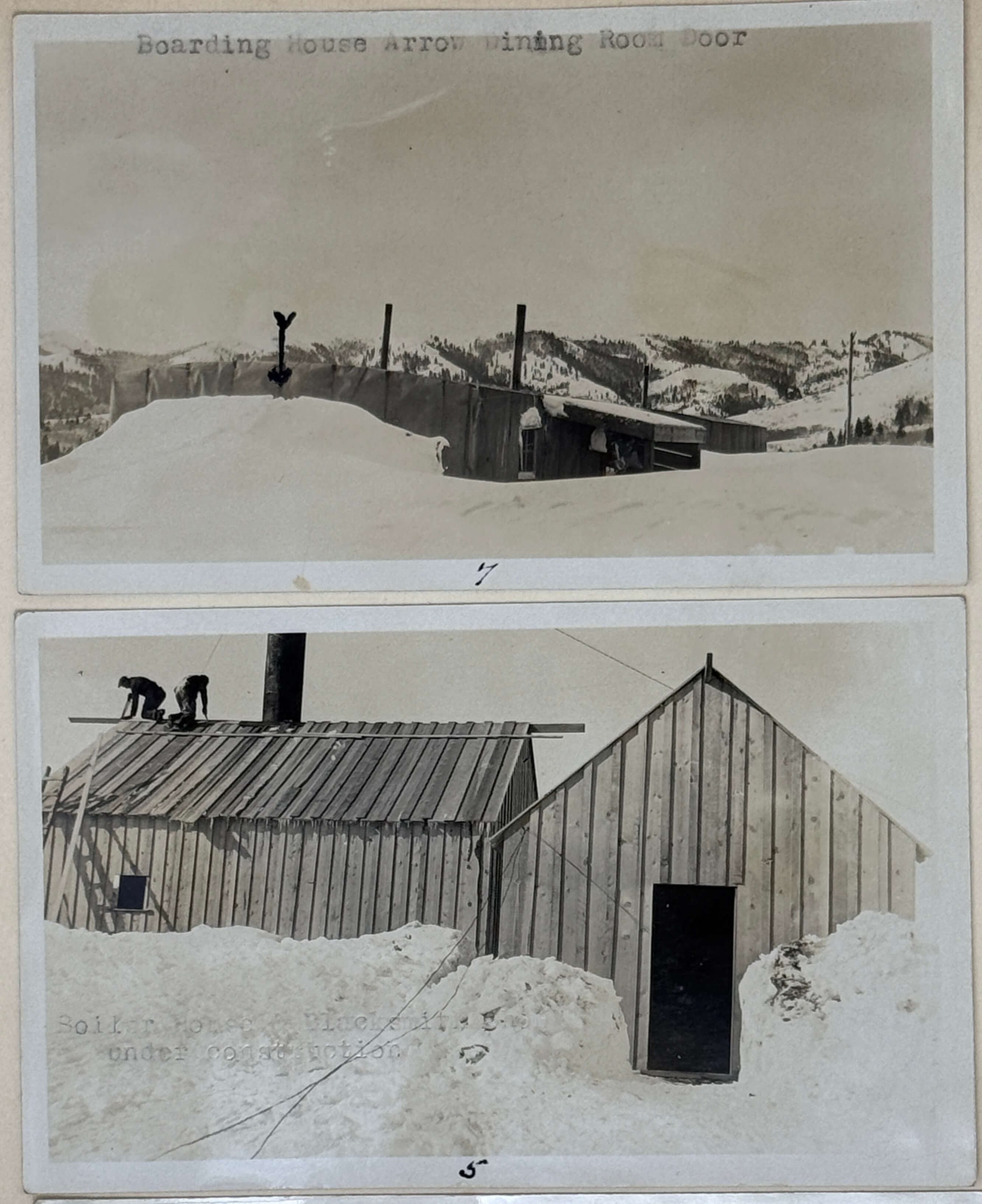
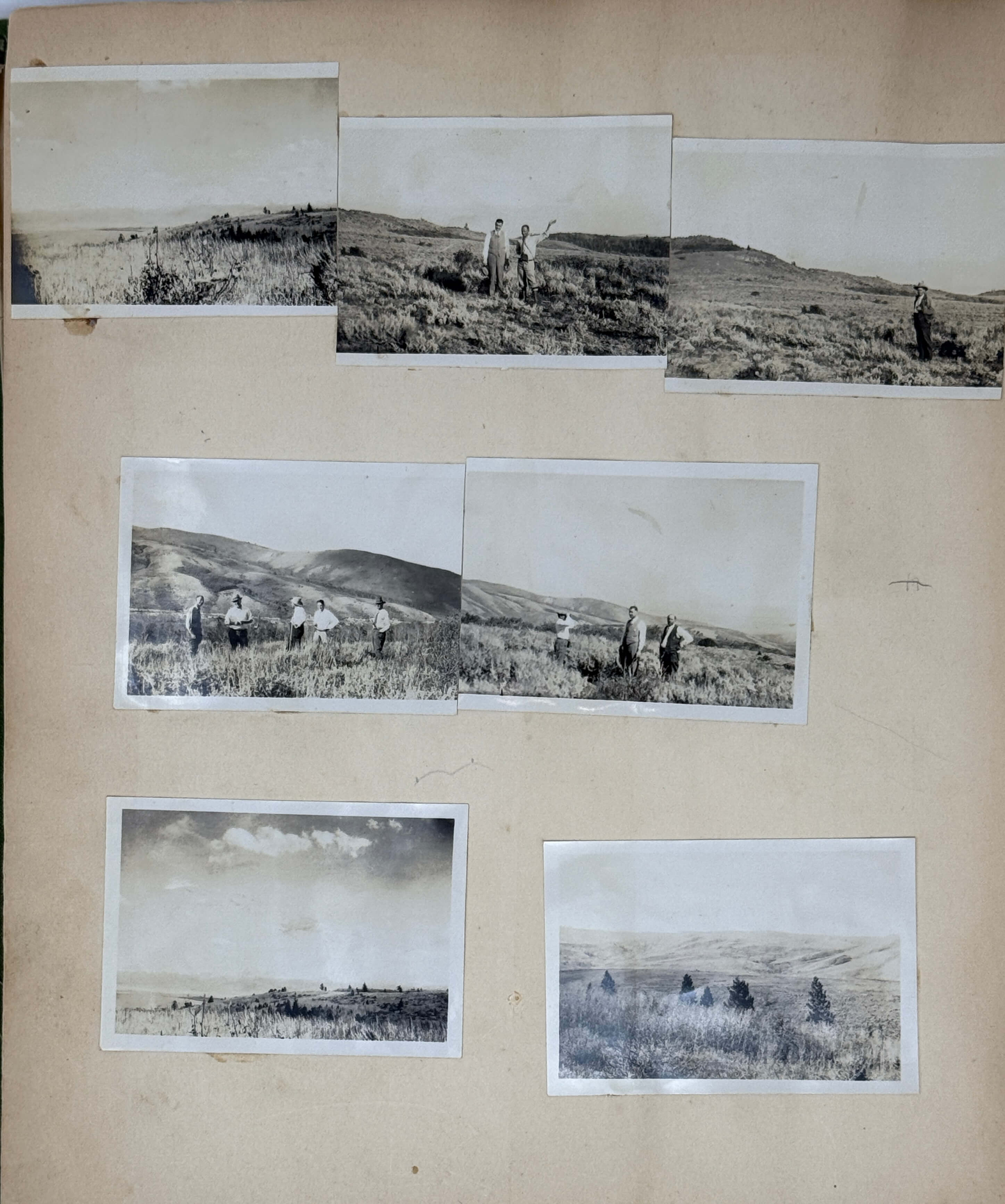
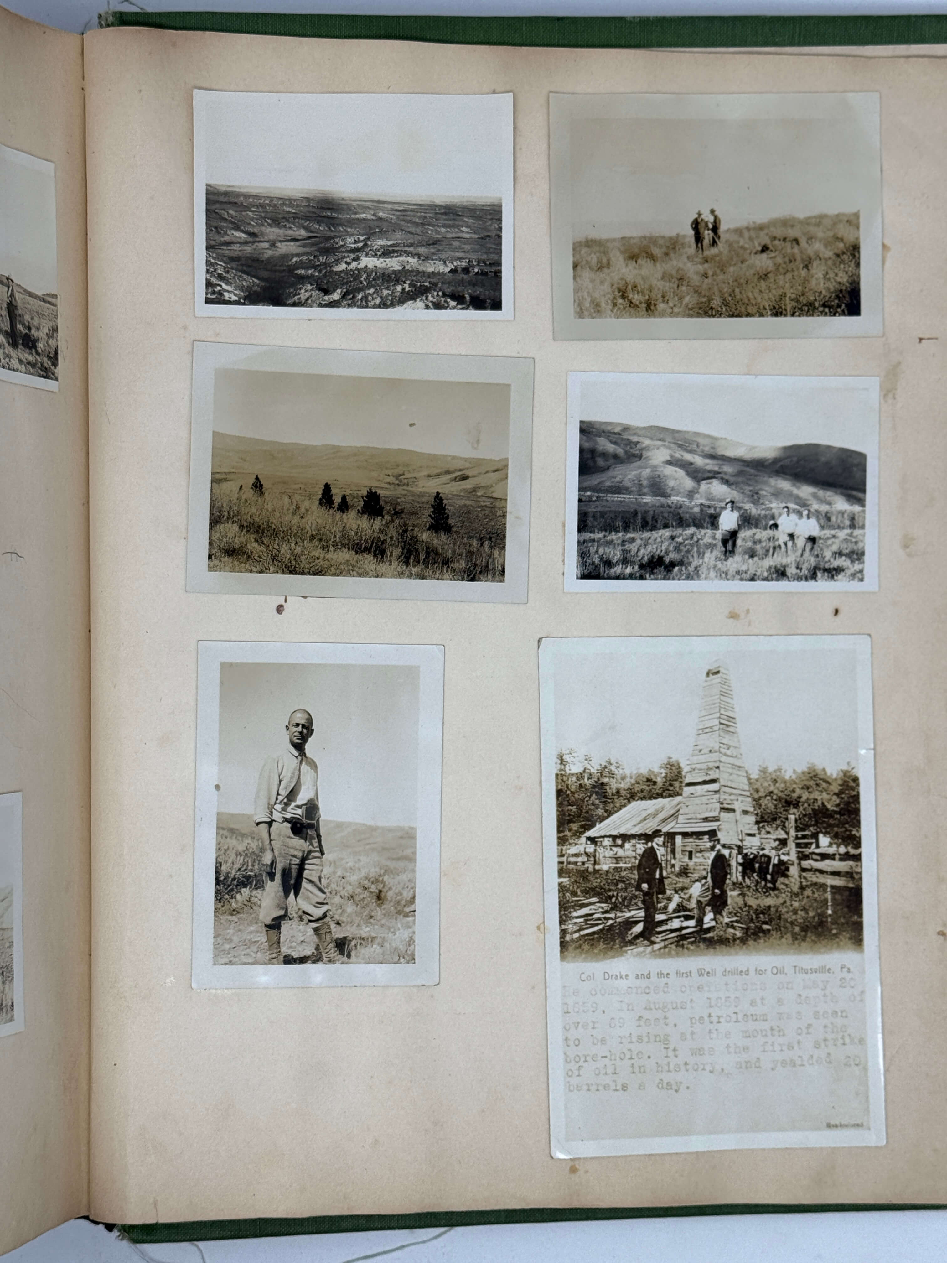
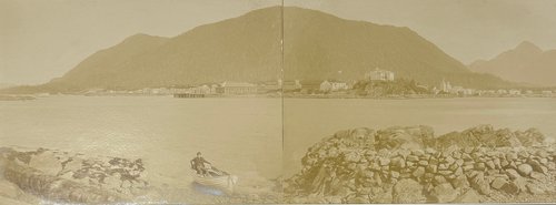
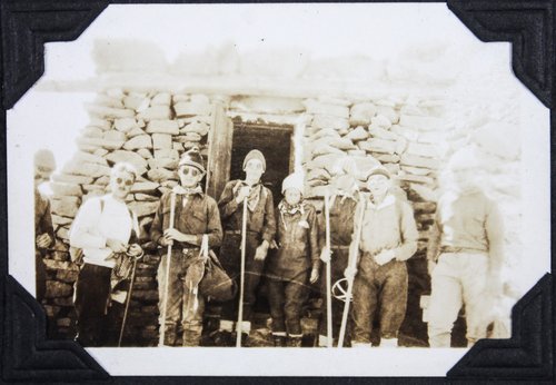
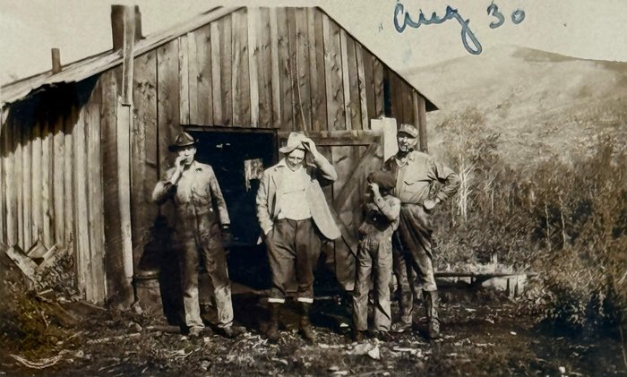
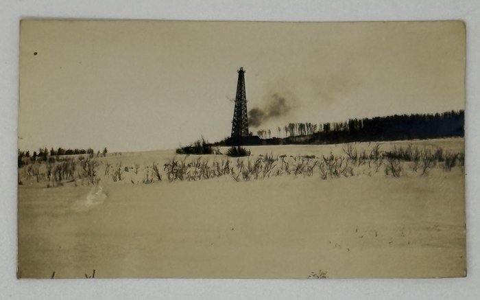
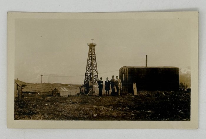
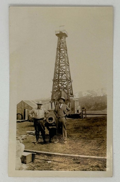
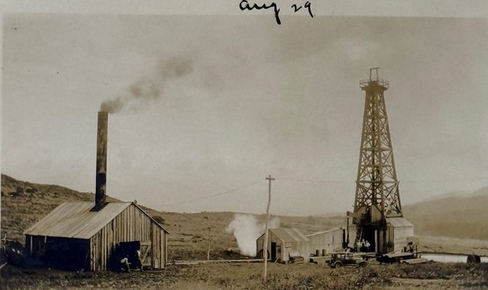
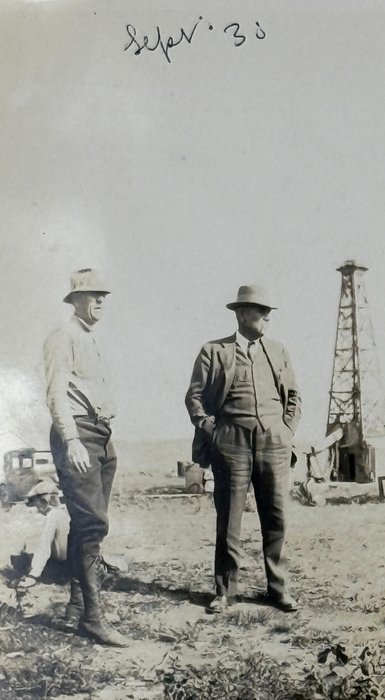
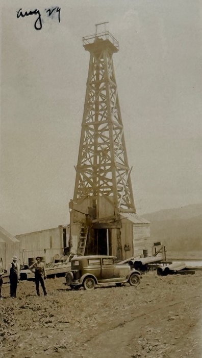
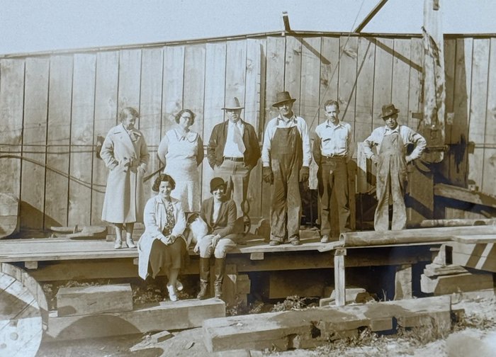
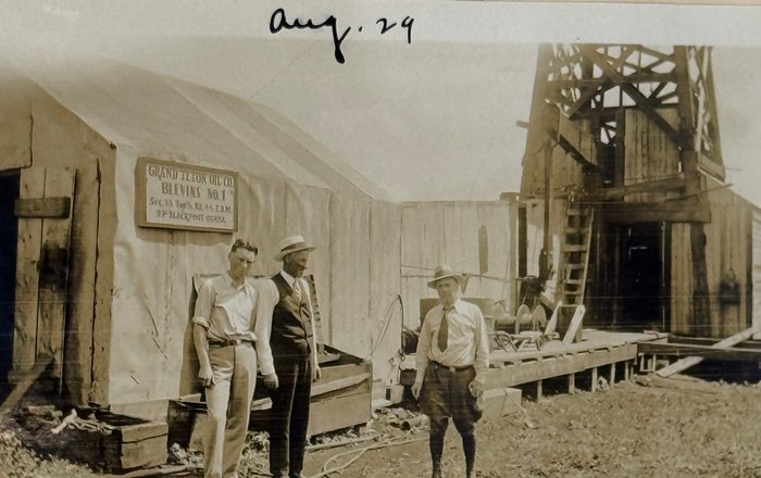
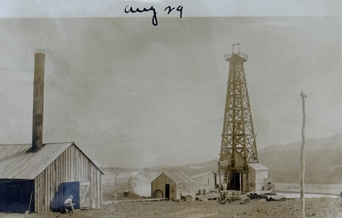
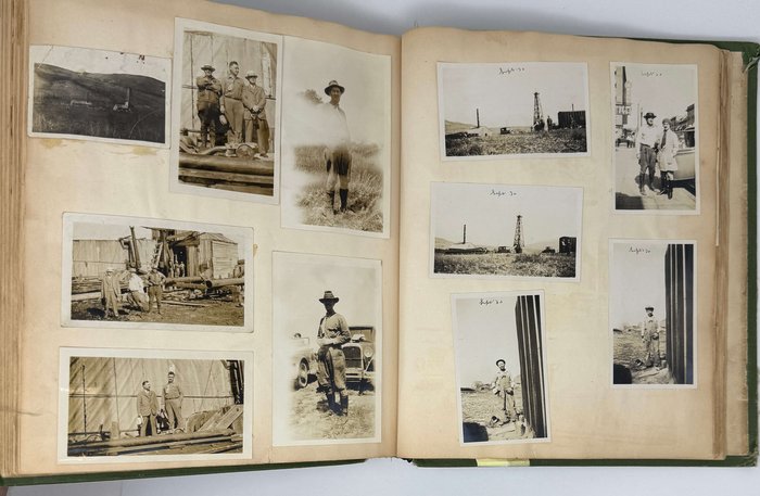
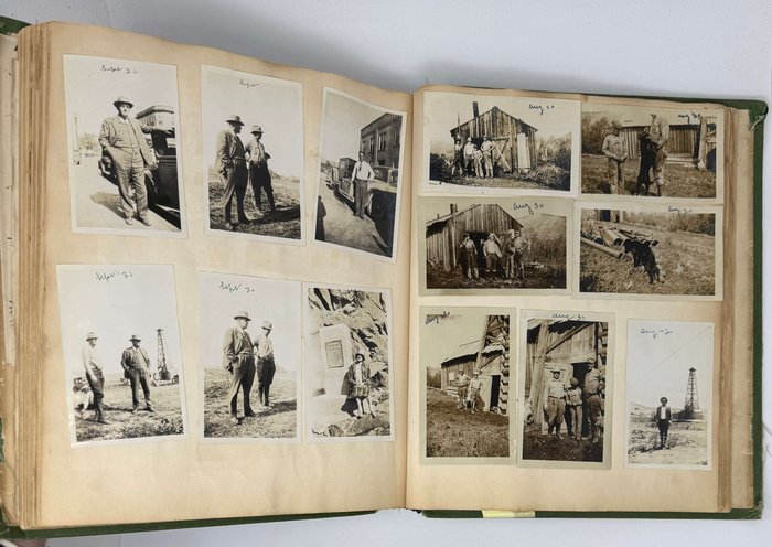
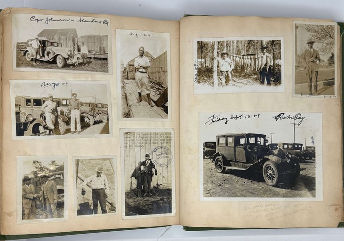
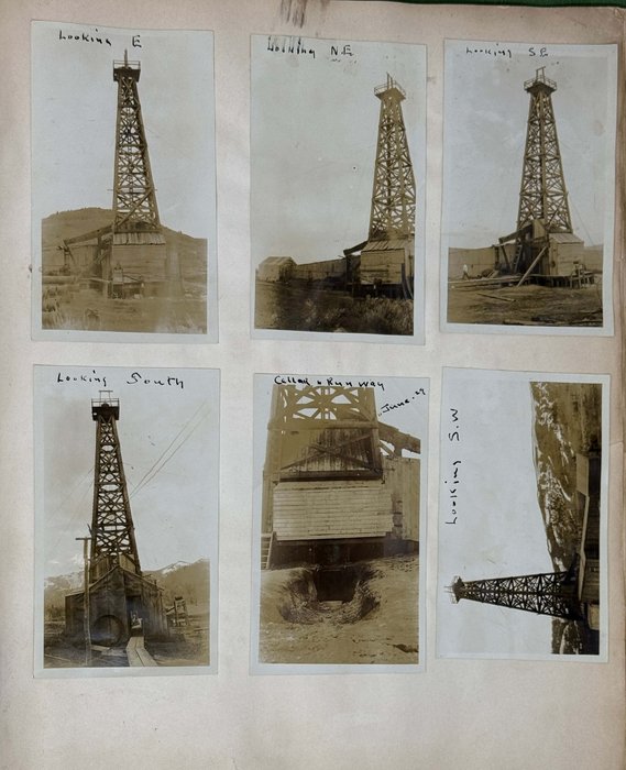
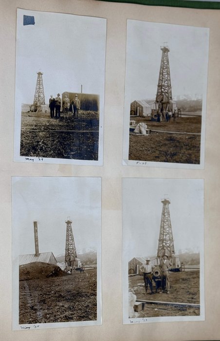
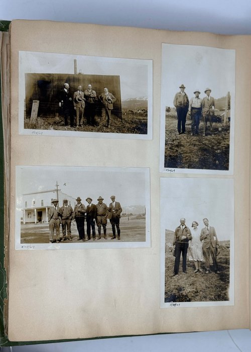
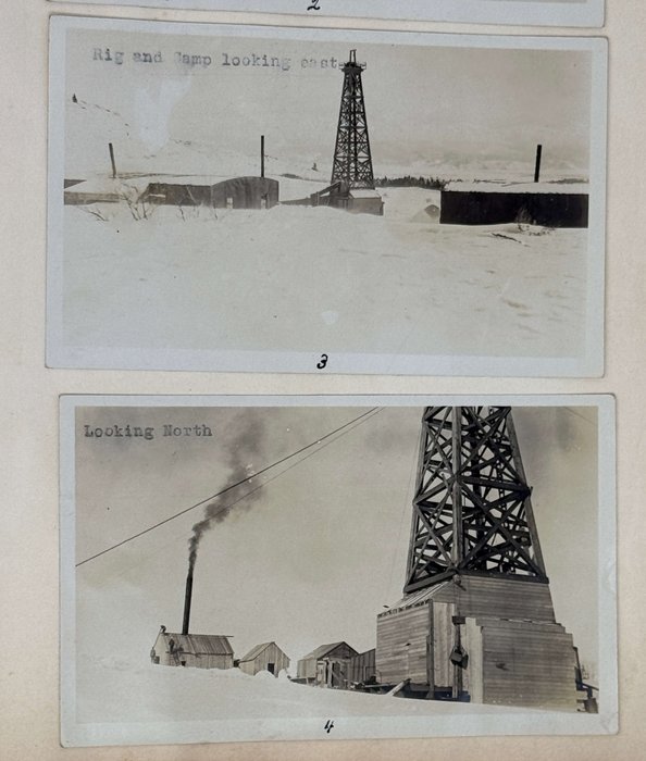
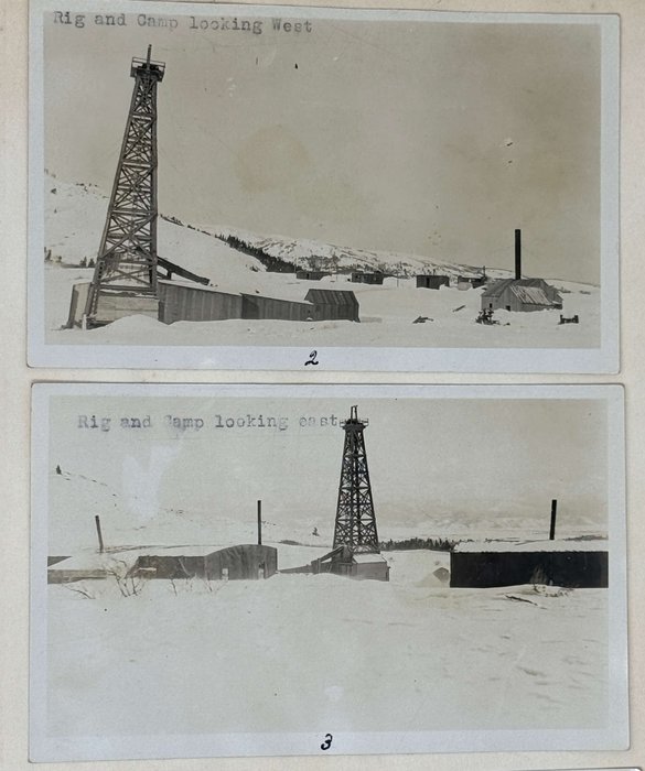
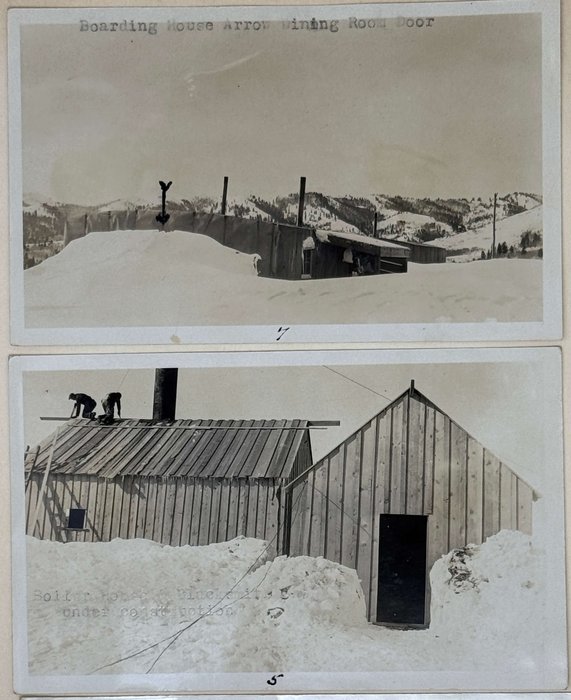
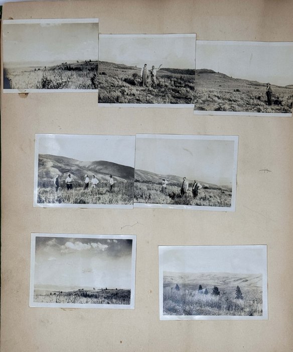
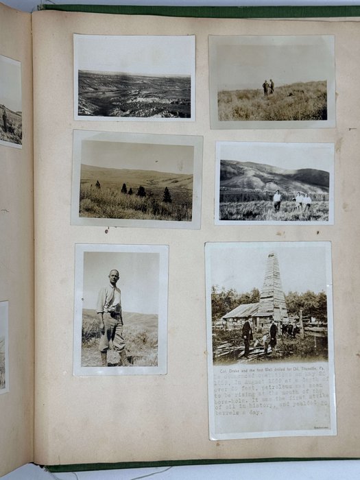
The collection was compiled by “The Grand Teton’s” “fiscal manager and field man,” Frank L. Waller, originally from Oregon (Interesting Oil News is Given// The Burley Herald, 4 October, 1929, p. 1). The photos, dated 1929-1931, include detailed views of the company’s oil drilling facilities on the Horseshoe Anticline. The images show Blevins No. 1 well (oil derrick and adjacent structures taken from different angles, “boiler house,” “camp looking W.,” “cellar and runway”), a truck with the sign “Grand Teton on the back window,” &c. Several photos feature visible signs attached to a wooden shed, reading the name of the company and the oil well. Numerous photos portray the company’s directors and workers; one of the photos has a typewritten caption, “This is the President of the Grand Teton Oil Company. As an oil executive he is a mighty good duck hunter…” and an ink stamp “Law Offices of George Engington, Idaho Falls, Idaho.” Nine images with typewritten captions show the Blevins No. 1 oil well, facilities and working crew in winter – identical or similar images were found in the digital collections of the University of Oregon (see more). There are also several photos of the surrounding landscapes, including two panoramic views, a photo of George Edgington’s car, damaged after the accident on the highway near Blackfoot (see the newspaper clipping from “Idaho Falls Post,” September 27, 1929), several portraits of hunters with game, &c.
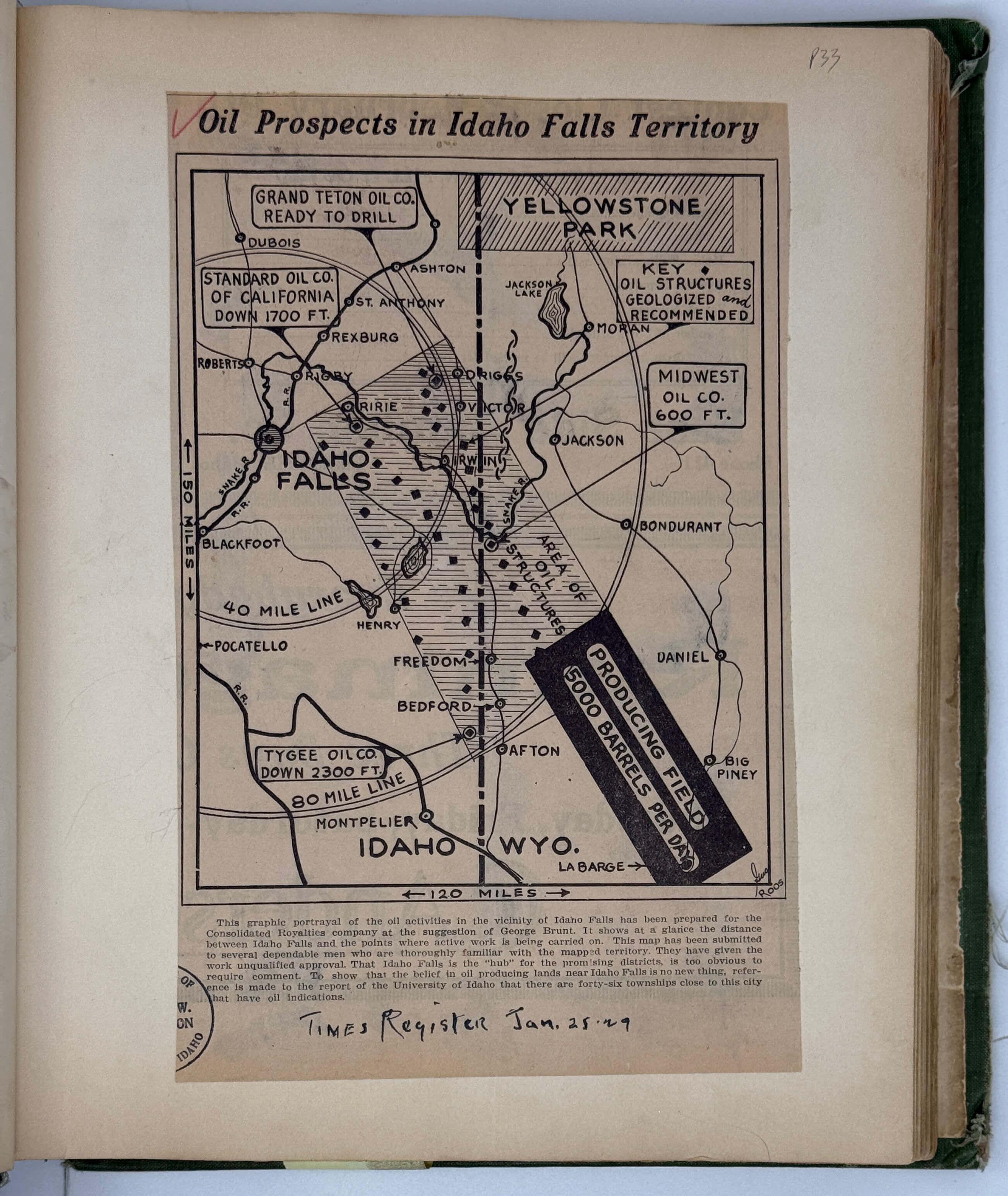
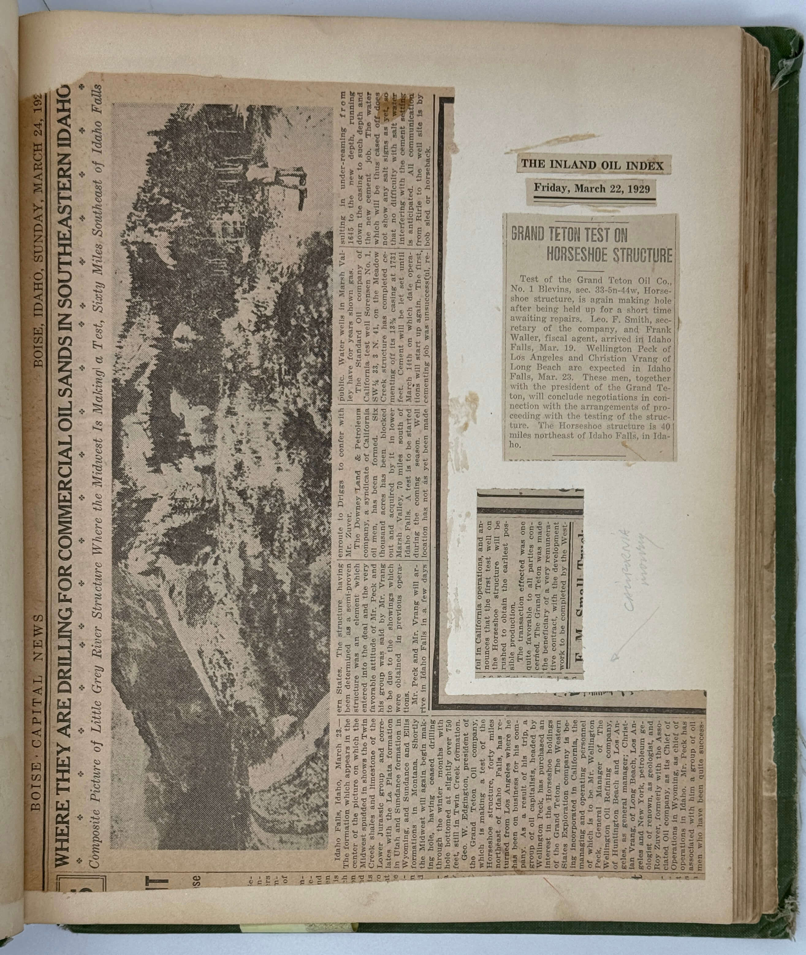
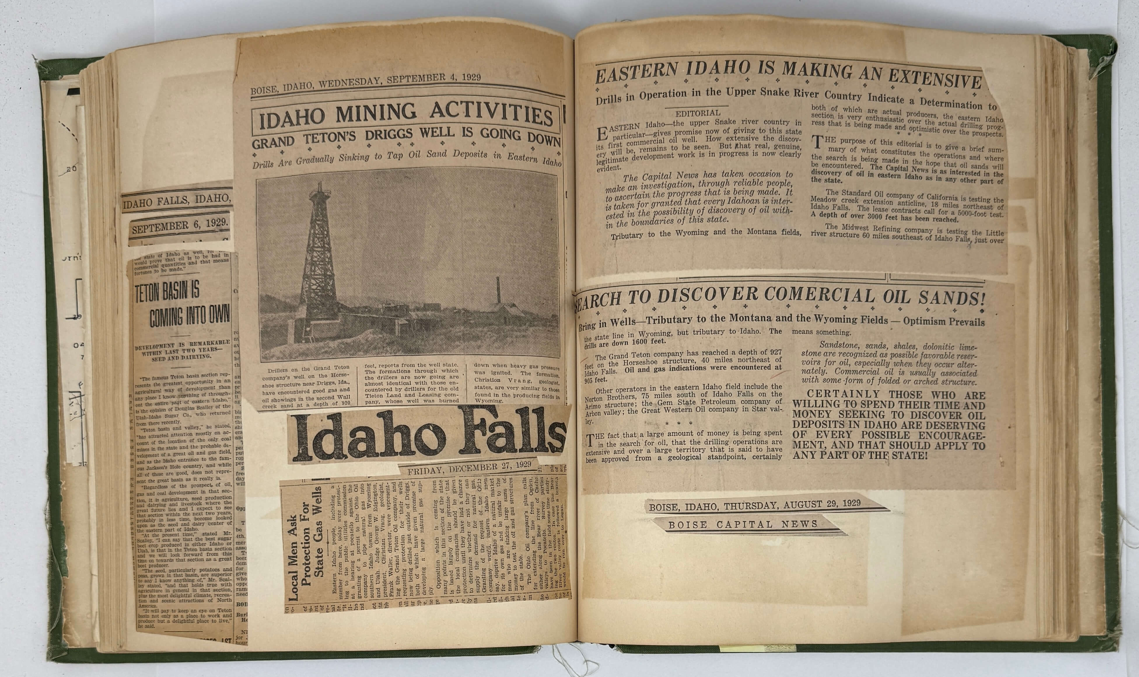
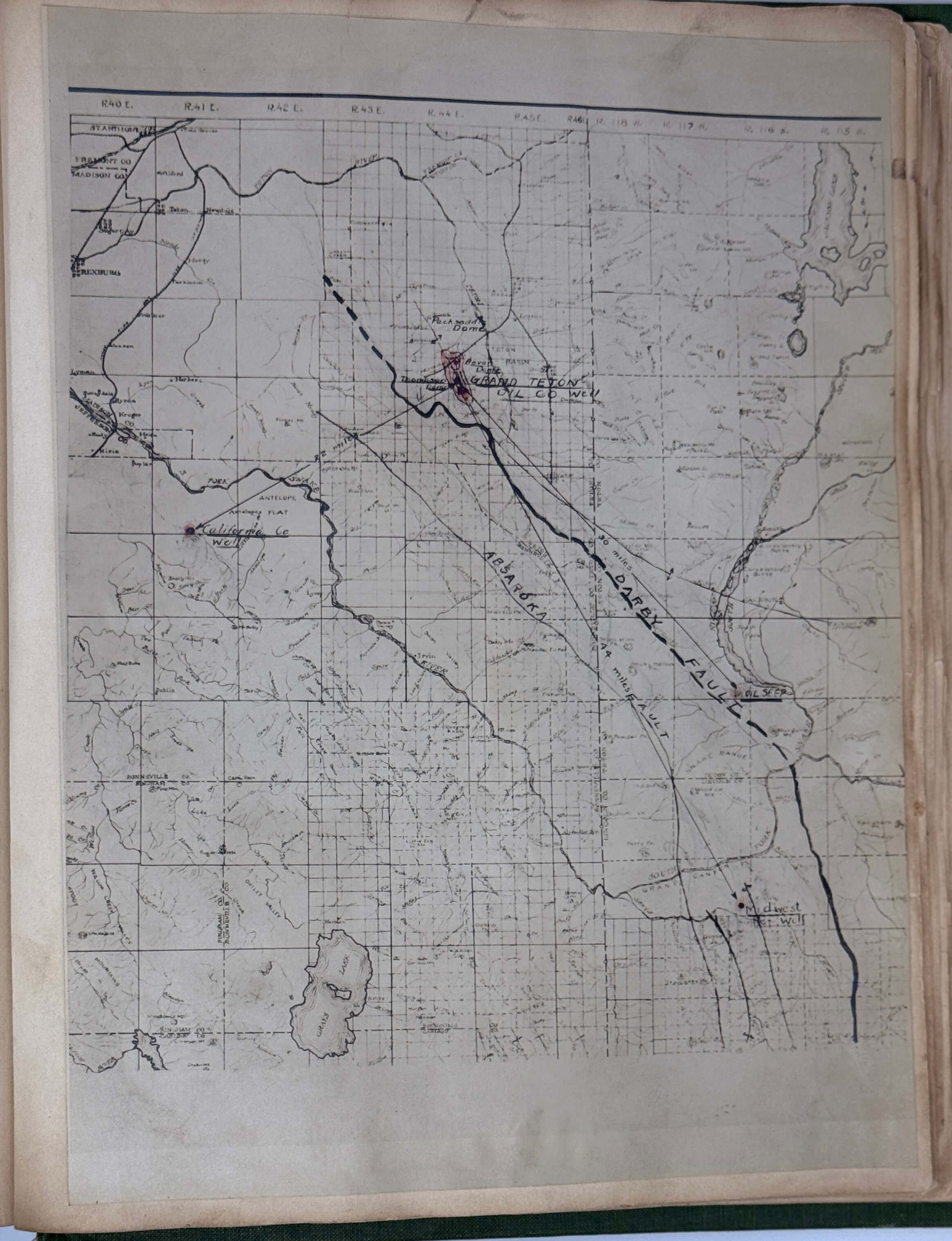
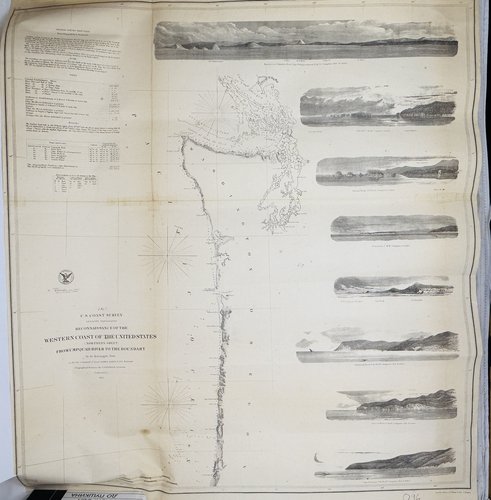
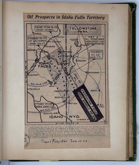
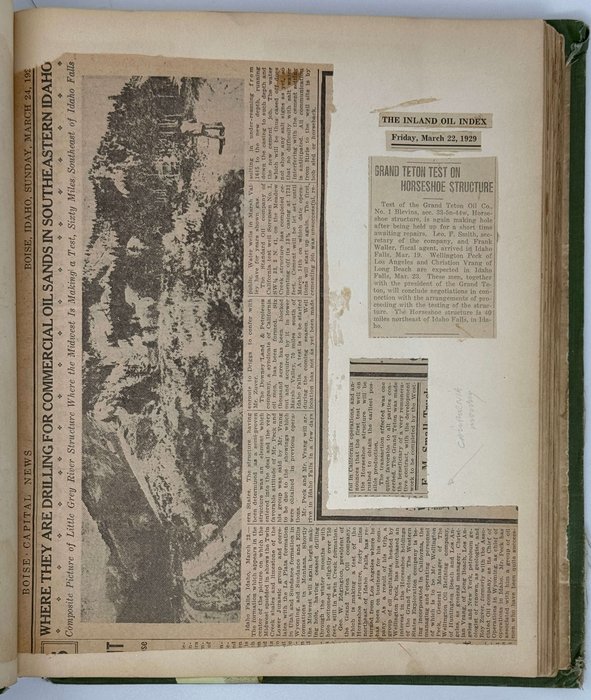
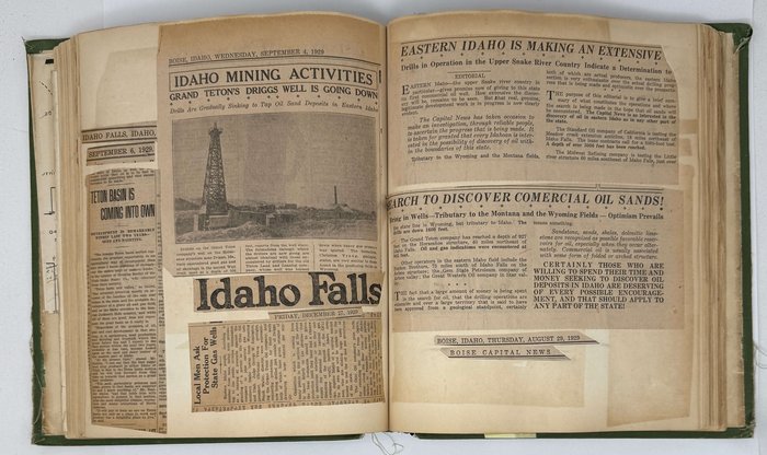
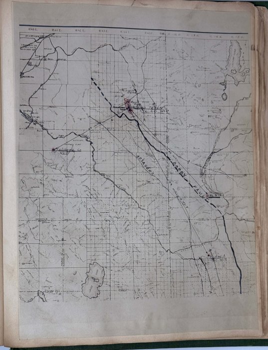
The newspaper clippings, covering the company’s history from its formation 1928 to 1931, are mostly from three Idaho newspapers - “The Idaho Falls Post,” “Teton Valley News” (Driggs) and “The Times-Register” (Idaho Falls). There are also several clippings from the newspapers issued in Idaho (“The Teton Peak-Chronicle,” “The Rigby Star,” “The Pocatello Tribune,” “Boise Capital News,” “The Burley Herald”), Utah (“The Salt Lake Tribune,” “Western Mineral Survey” – both printed in Salt Lake City), Wyoming (“The Inland Oil Index,” Casper), Oregon (“The Astorian,” “The Morning Astorian,” “The Oregon Daily Journal”), Washington (“The Seattle Star”), and others. The maps detail on the location of the “Grand Teton Oil Co.’s” wells. The collection also includes several rare promotional booklets and leaflets issued by the “Tieton Valley Land & Leasing Company” and “Grand Teton Oil Co.”
Overall a unique extensive collection of original photographs and supporting materials on the early history of oil exploration in Idaho.
A list of maps:
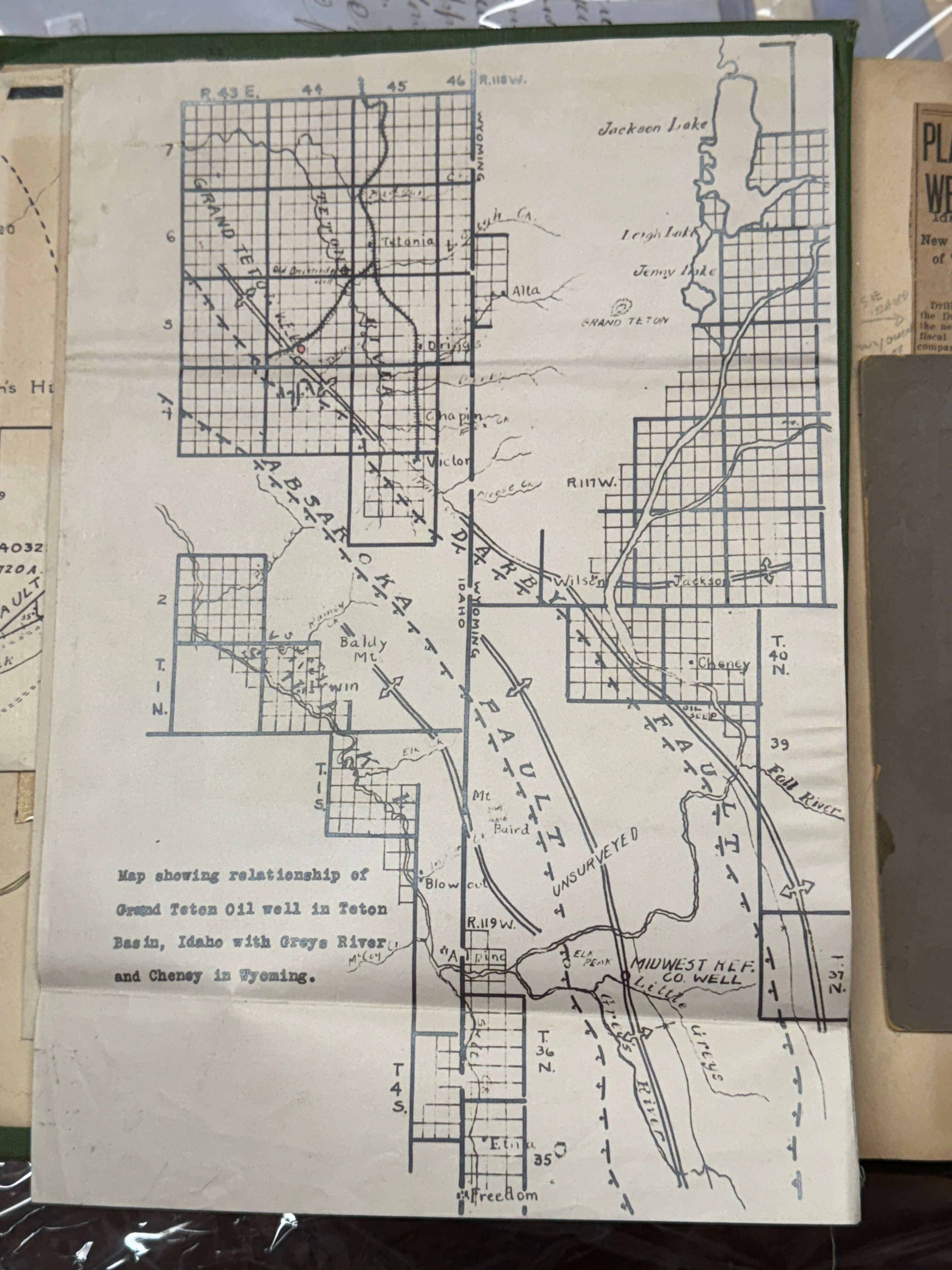
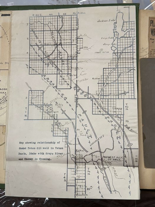
1) Map showing relationship of Grand Teton Oil well in Teton basin, Idaho, with Greys River and Cheney in Wyoming [lithographed, folding, ca. 31,5x21,5 cm or 12 ¼ x 8 ½ in].
2) State of Idago Map of Natural Resources [printed, folding, ca. 31,5x21,5 cm or 12 ½ x 8 ½ in].
3) Mining Districts of the State of Idaho [printed, folding, ca. 63,5x43,5 cm or 25x17 in].
4) Horseshoe Ancitline, Teton County, Idaho [lithographed, folding, ca. 37,5x24 cm or 14 ½ x 9 ½ in].
5) [Lithographed geological map of Eastern Idaho, ca. 29x21,5 cm or 11 ½ x 8 ½ in; with a lithographed leaf of notes].
A list of printed ephemera:
1) [An advertising booklet of the Tieton Valley Land & Leasing Company. Folding, ca. 20x34 cm or 7 ¾ x 13 ½ in].
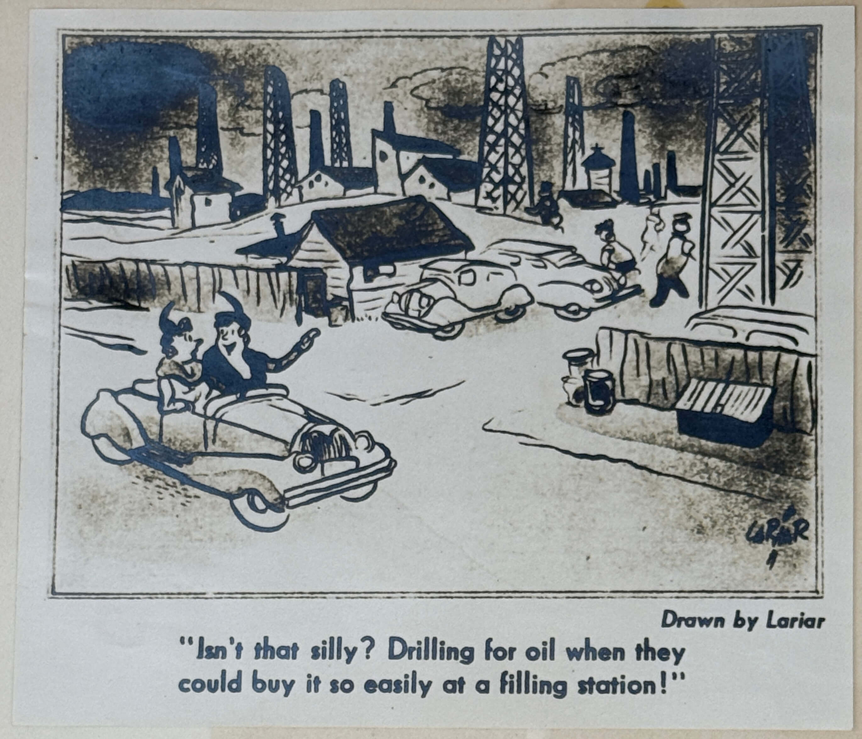
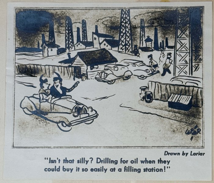
2) [A humorous sketch with oil derricks. Ca. 14x16 cm or 5 ½ x 6 ¼ in].
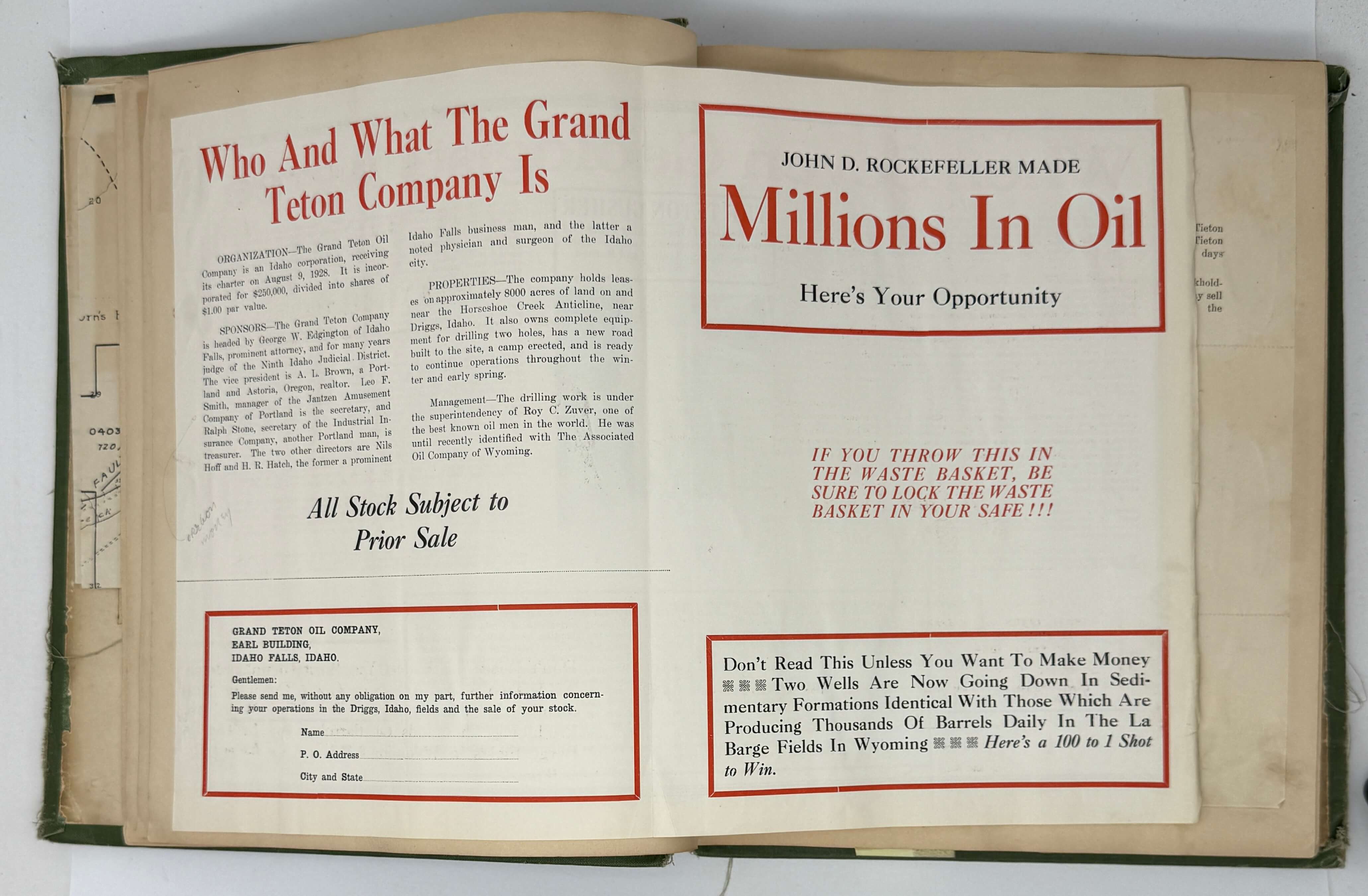
3) [An advertising booklet of the Grand Teton Oil Company. Folding, ca. 28x40,5 cm or 11x16 in].
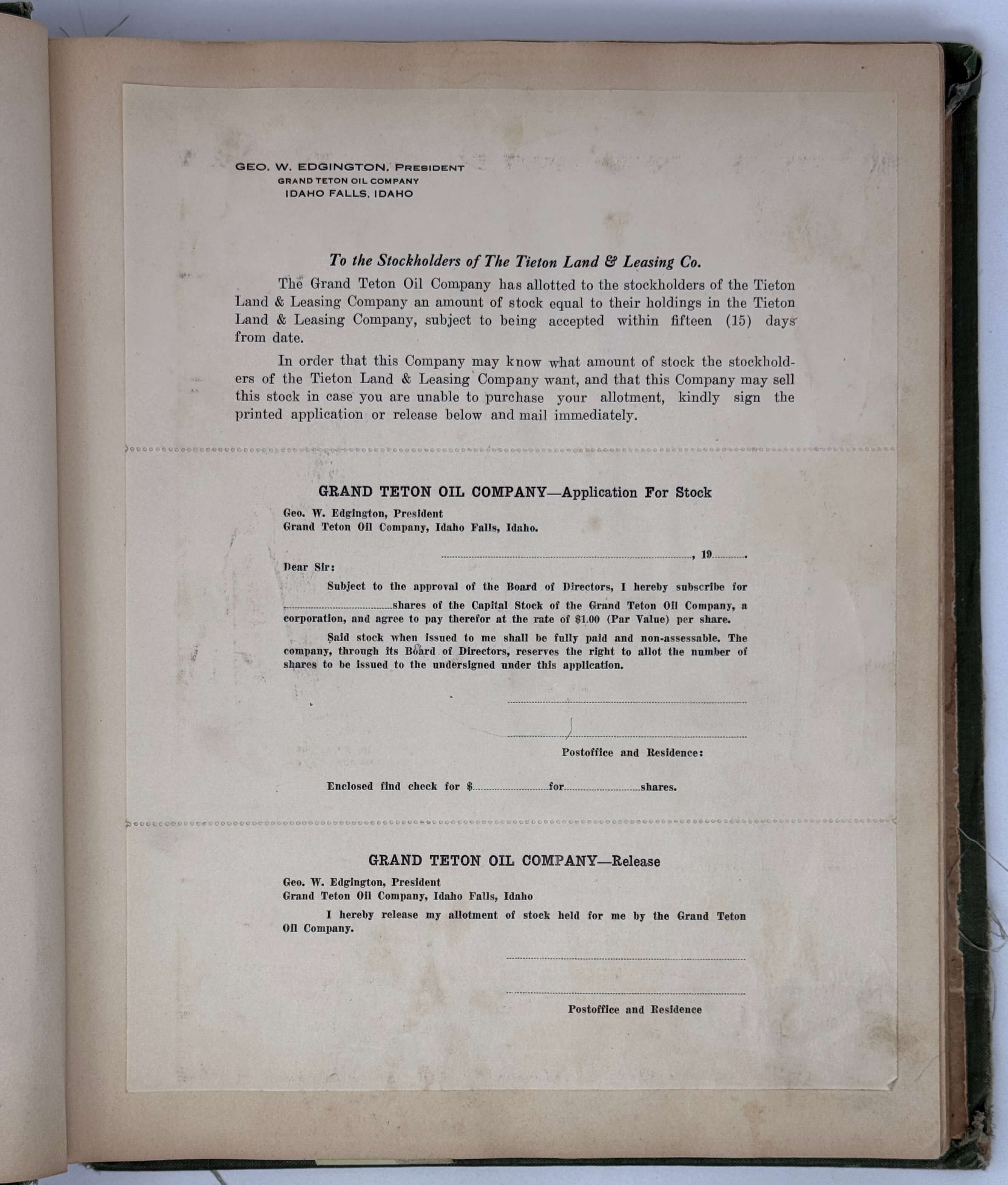
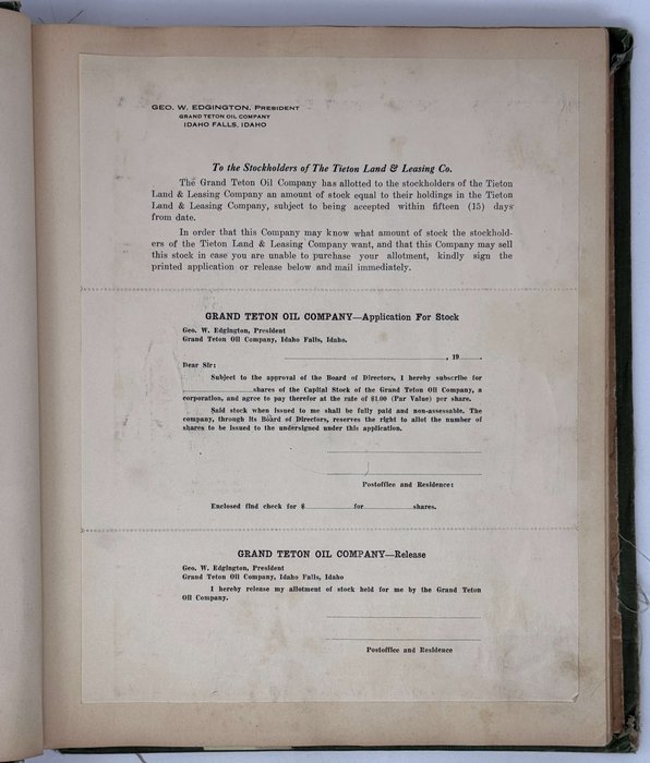
4) [A perforated leaf with the information for the Tieton Valley Land & Leasing Company. Ca. 27x21 cm or 10 ½ x 8 ¼ in].
5) [An advertising leaflet, ca. 23x25 cm or 9x6 in]: Stop! Look! Listen! Big Mass Meeting…
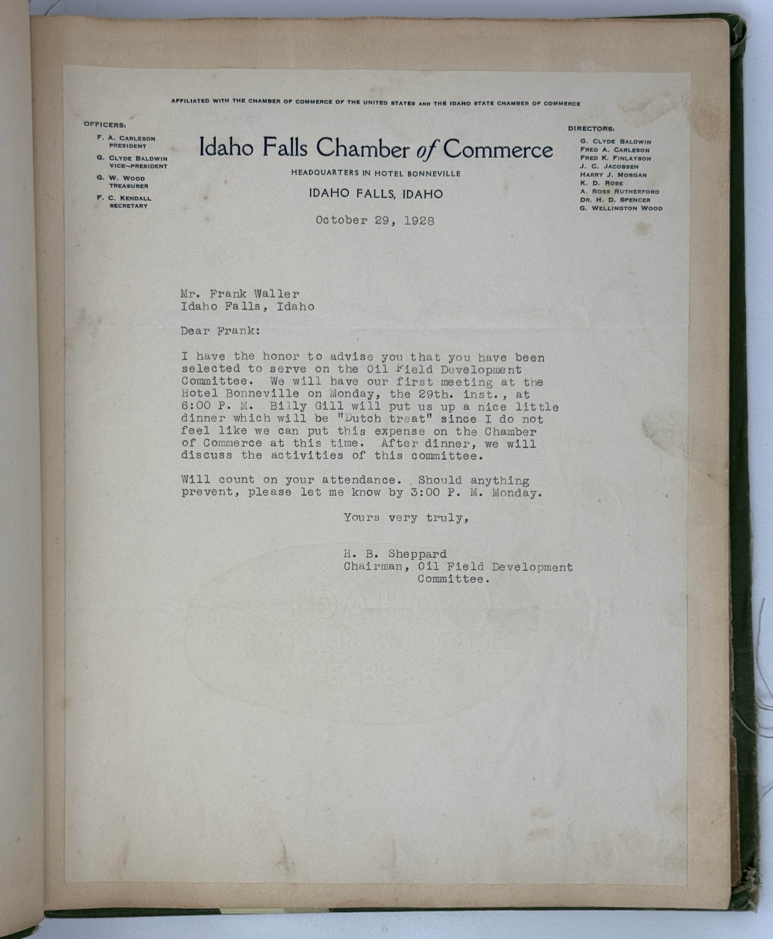
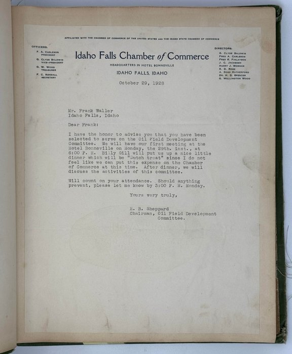
6) [A typewritten letter to Frank Waller from the Chairman of the Idaho Falls Board of Commerce. October 29, 1928. Ca. 28x21 cm or 10 ¾ x 8 ¼ in].
7) [A campfire permit given by an officer of the Ochoco National Forest, September 1930. Ca. 14,5x9 cm or 5 ½ x 3 ½ in].
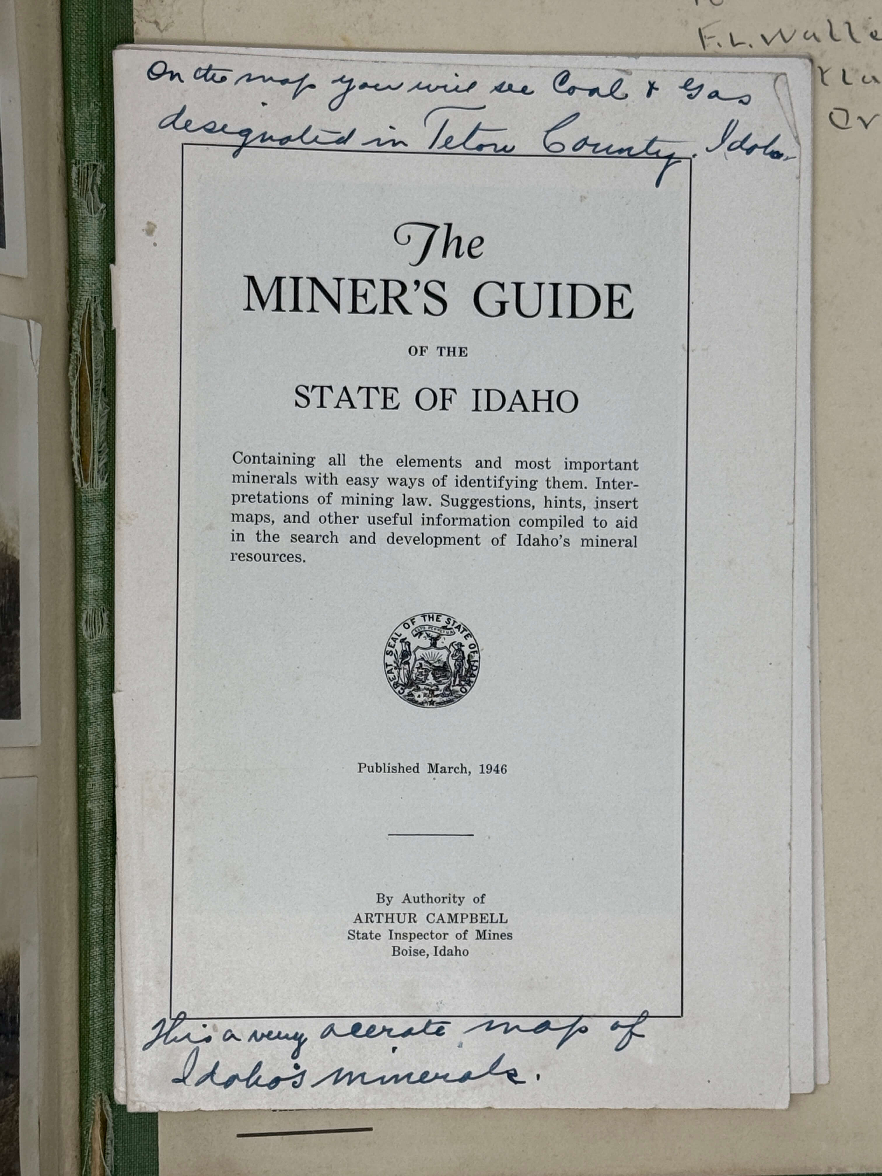
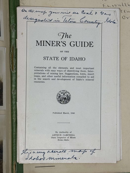
8) [Brochure, ca. 23x15 cm, 39 pp., without a map, titled:] The Miner’s Guide to the State of Idaho. Published March, 1946.

