

#RA29
1802
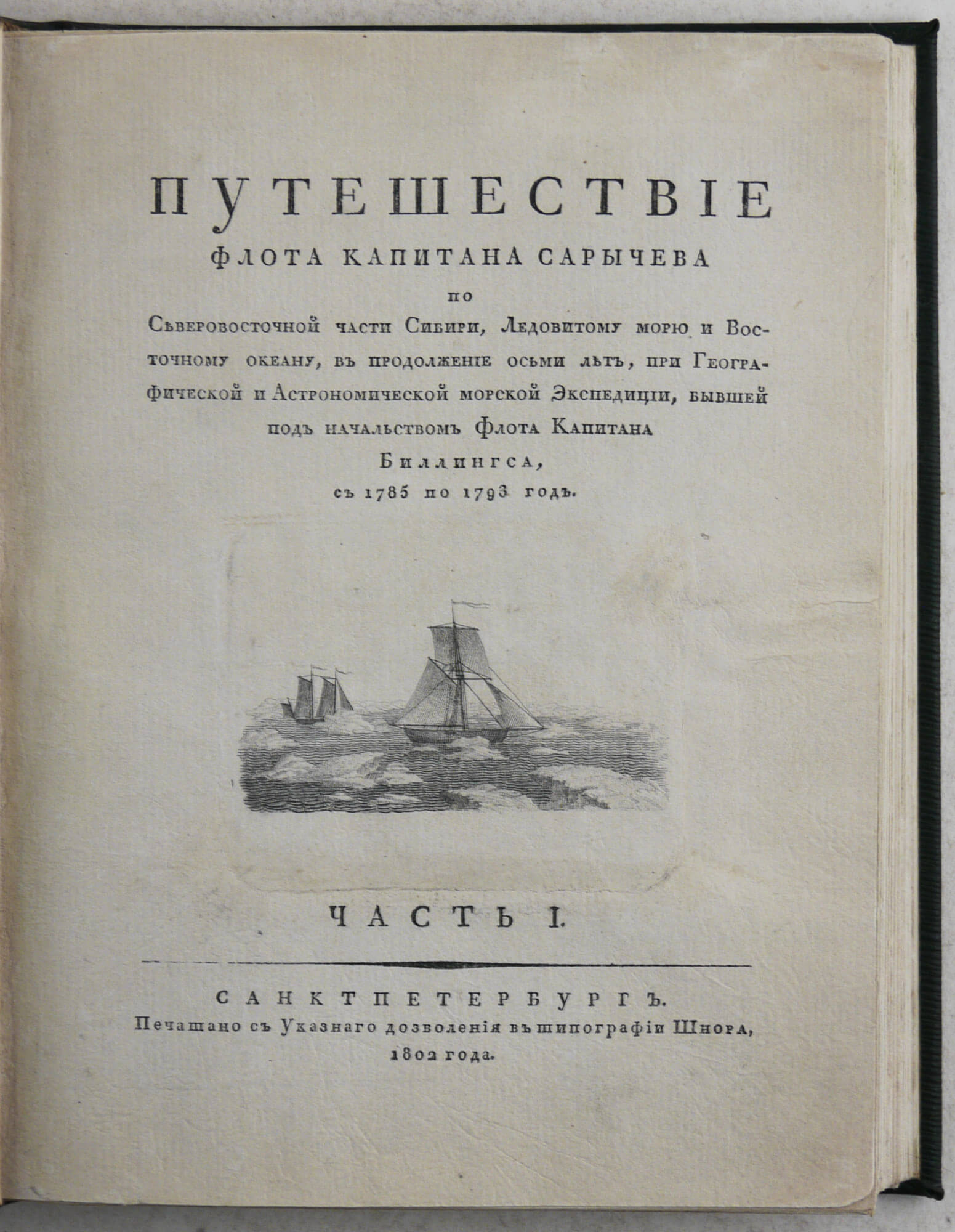
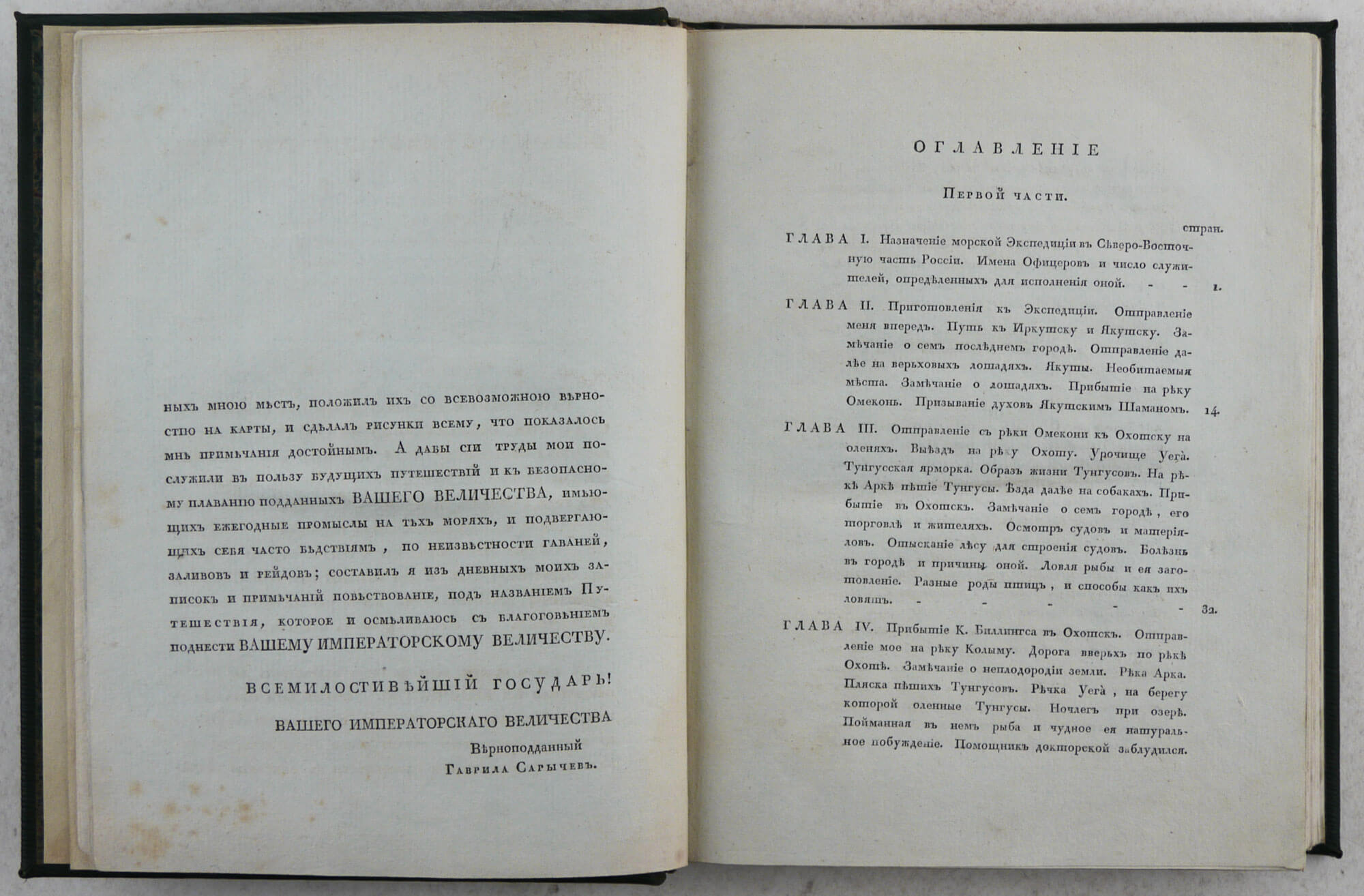
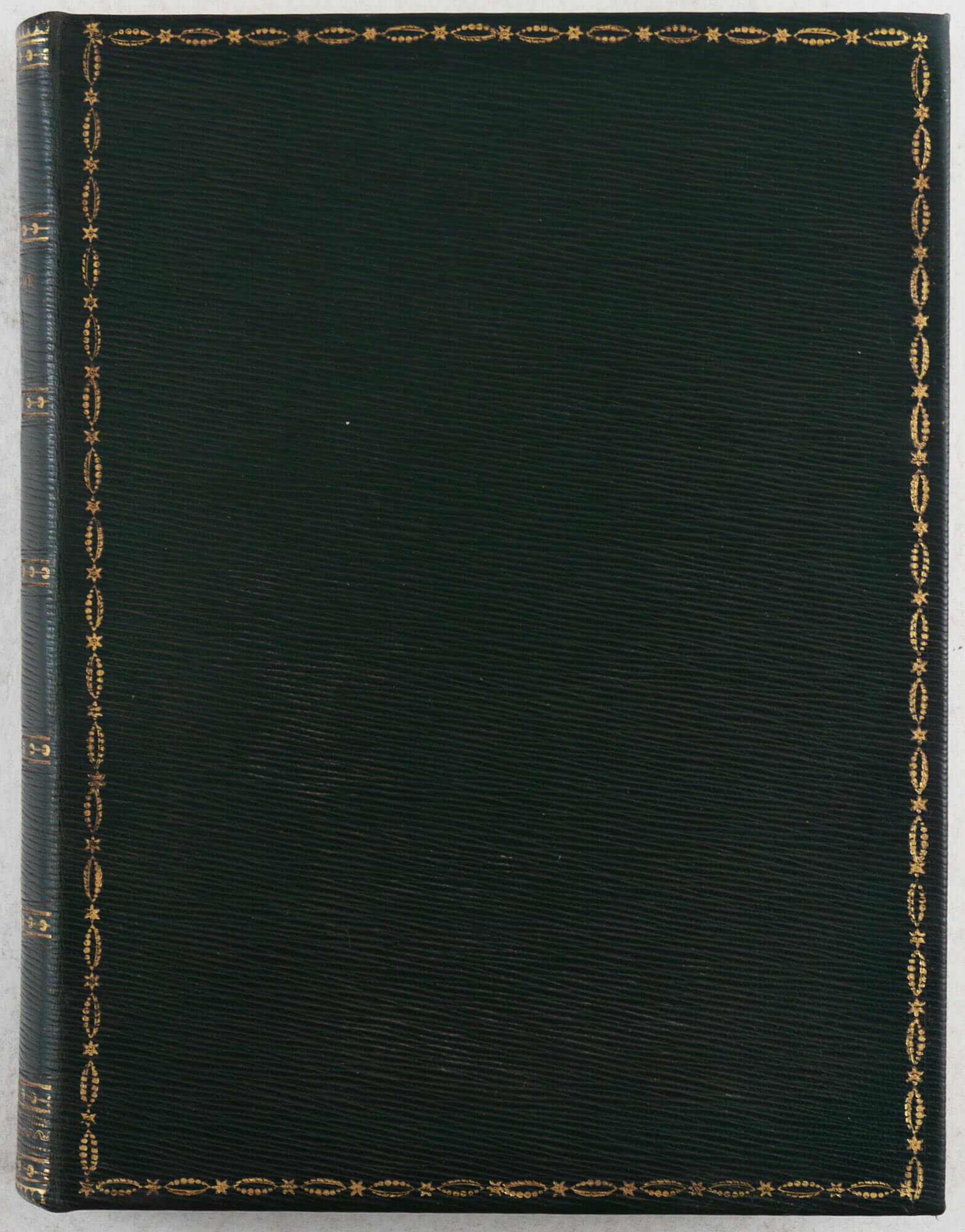
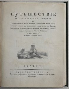
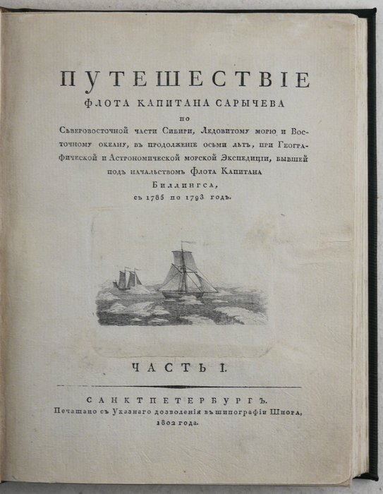
First edition. Quarto text (ca. 25x18,5 cm). Two parts bound together. [1 – t.p.], [1 – dedication to Emperor Alexander Pavlovich], [2 – second dedication to the Emperor], [5 – table of contents], [2 - errata], xii, [2 – half-title], 187; [1 – t.p.], [2 – table of contents], [1 – half title], 192, [2 - errata] pp. With a copper-engraved decorative vignette on the title page of part 1 and a folding statistical table in part 2. Attractive period style green full straight-grained morocco; gilt-tooled decorative borders on both boards and the spine; gilt-lettered title and gilt-tooled decorations on the spine; marbled endpapers. Title page of part 1 with minor tears expertly repaired, margins slightly trimmed; overall a very good copy.
Complete text (in 2 volumes) of a rare official Russian account of Joseph Billings’ 1785-1794 expedition to the Northeast coast of Siberia, Bering Strait, the Aleutian Islands and Alaska. It is not unusual to find either the text or the atlas by itself, likely because they were published separately with a slight delay. It was the second Russian large-scale exploratory expedition to the region after the Grear Northern Expedition of Vitus Bering (1733-1743). The goals of the expedition were to survey and map the coast of the Arctic Ocean from the mouth of the Kolyma River to the Bering Strait (the task which the Great Northern Expedition didn’t accomplish), to ascertain the possibility of a passage to the Pacific Ocean along the Arctic coast of Siberia (Northeast Passage), to find out if there was a land north of the Medvezhyi [Bear] Islands in the East-Siberian Sea, and to survey the North Pacific Ocean between the shores of Siberia and Alaska.
Gavriil Sarychev, one of Billings’ chief assistants (together with Robert Hall), was the main contributor to the expedition's discoveries. In 1785-87, he surveyed and mapped several mountain ranges in Yakutia (Suntar-Khayata, Moma, Chersky and Verkhoyansky ranges, Nerskoye plateau, &c.) and supervised the construction of four of five expedition vessels (“Yasashna” and “Pallas” - for the exploration of Siberian Arctic coast from the mouth of the Kolyma River; “Slava Rossii” and “Dobroye Namereniye” - for the exploration of the North Pacific Ocean from Okhotsk). During the short navigation along the Siberian Arctic coast in the summer of 1787, Sarychev ascertained that the coastline was two degrees to the south from the line shown on the contemporary maps. He carried out the first Arctic archaeological excavations at the Bolshoy Baranov Cape, east of the Kolyma River mouth. He also suggested that there was an island north of the Chukotka Peninsula (Wrangel Island, to be officially discovered only in 1867 by Thomas Long). In 1789, Sarychev mapped the entire western coast of the Sea of Okhotsk and, together with Joseph Billings, discovered St. Jonas’ Island.
In the summer of 1790, on board the “Slava Rossii,” Sarychev visited and described Andreanof, Fox, Shumagin, and Semidi Islands of the Aleutian chain, Kodiak Island and the Chugatsky Bay (Prince William Sound) on the Alaskan mainland from the Kenai Peninsula to the mouth of the Copper River. In 1791, he mapped the Commander Islands and was the first to presume that the Aleutian and Commodore Islands were parts of the same chain. Sarychev also surveyed the Alaskan coast near Cape Rodney, Pribilof Islands, St. Matthew and St. Lawrence Islands, and discovered Hall Island in the Bering Sea. The same year, Sarychev’s subordinate, sergeant of geodesy Khudiakov, discovered a group of small islands off the northern coast of the Alaska Peninsula, later named Kudiakof Islands (Glenn, Operl and Neumann Islands). In February 1792, Sarychev surveyed and mapped Unalaska; many of his geographical names are still on the island’s modern maps (Captains Bay and others).
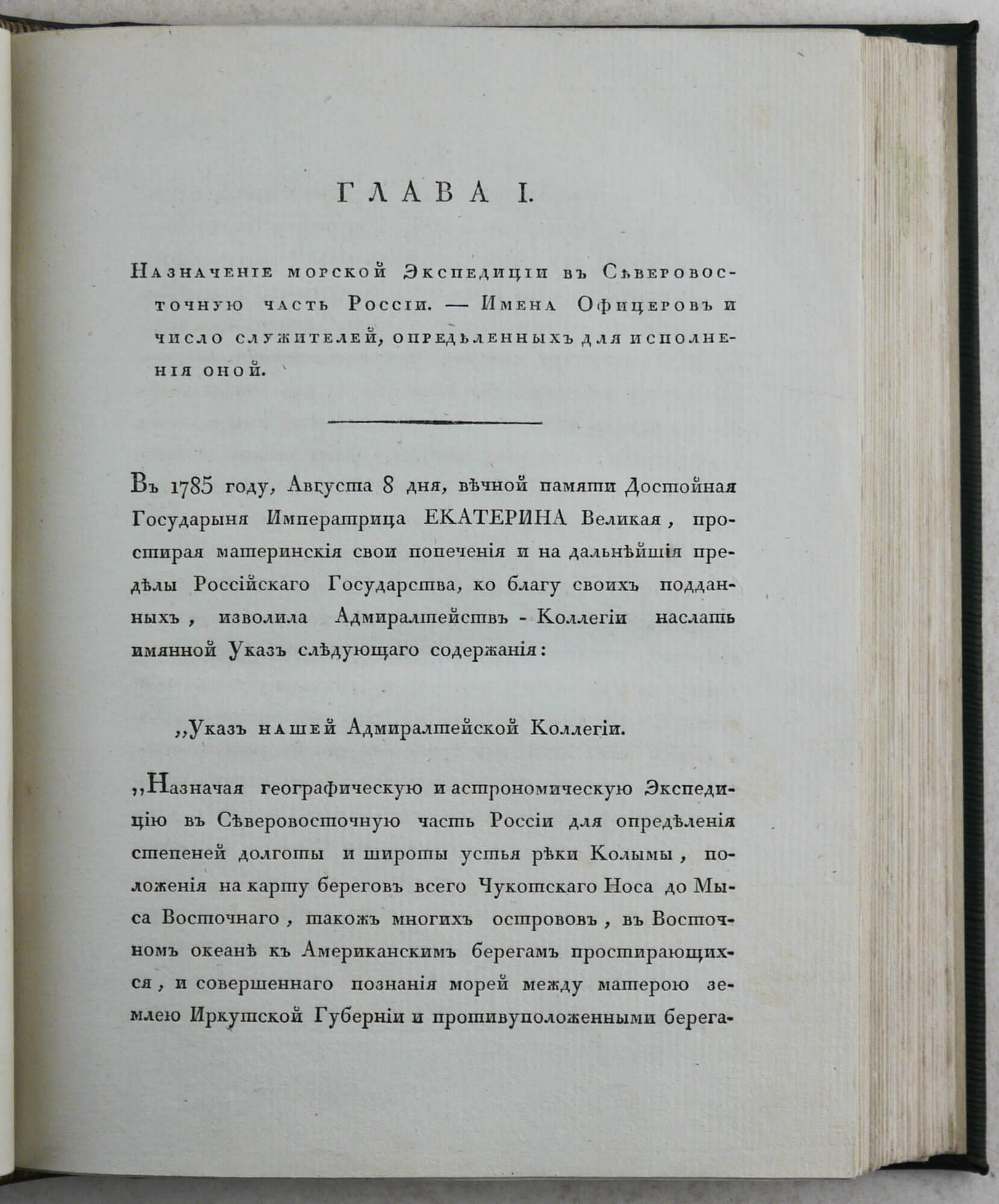
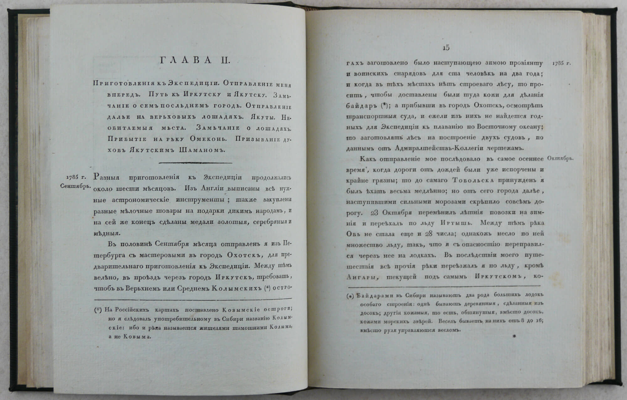
The account of Sarychev’s eight-year travels and voyages was published in 1802 on the initiative of the director of the Naval Cadet Corps in Saint Petersburg, Loggin Golenischev-Kutuzov, and the head of the Russian Admiralty, Count Grigory Kushelyov (see: Preface, vol. 1, p. vii). The first part contains a detailed description of his travels in Eastern Siberia and Yakutia in 1787-90. The first chapter includes the text of Empress Catherine II’s decree about the organization and goals of the expedition and a detailed list of its members. The preface to part 1 contains a brief historical overview of Russian voyages to Alaska, Siberian Arctic and North Pacific (Vitus Bering, Martin Spanberg, Krenitsyn and Levashov, Dmitry Ovtsyn, and others), as well as critical notes about errors in James Cook’s maps of Alaska (p. v), Sarychev’s methods of survey and mapping, General Map, published in the Sarychev’s Atlas, &c.
The second part describes Sarychev’s 1790-92 voyages to the Aleutian Islands, Alaska and the Bering Strait. The account is especially valuable because of its extensive description of Unalaska and other Aleutian Islands and original notes on the Aleuts and Inuits of Alaska and Siberian Asia, Kamchadals (Itelmens), Chukchi, and Yakuts. The account also contains results of meteorological, hydrological and astronomical observations, as well as notes on the nature of Eastern Siberia, Kamchatka, Alaska and the islands of the Bering Sea.
The title page of vol. 1 is decorated with a copper-engraved vignette showing two sailing ships in the sea full of floating ice. “Between the pp. 174 and 175 in Part I there is a large folding table giving the number of inhabitants on Fox and Andreanov Islands, as well as the size and the kind of fur tribute levied by the Russians on these inhabitants in 1791” (Lada-Mocarski, 57). The text was accompanied by a separately published Atlas with 51 copper-engraved maps and plates (not present here; published without a title page, see: Obolyaninov 2406).
The book caused a lot of interest in Europe and was translated into German (1805), English (1806), and Dutch (1808). In Russia it became a bibliographic rarity. The second Russian edition was published only in 1952 (Sarychev, G.I. Puteshestvie po severo-vostochnoi chasti Sibiri, Ledovitomu moriu i Vostochnomu okeanu. M.: Geografgiz, 1952).
Lada-Mocarski commented on the high quality of Sarychev’s account: “Martin Sauer was Secretary to Billings’ expedition and, as stated on the t.p., his narrative was composed from the original, presumably official papers. In view of Mortimer’s remarks regarding Billings’ ineptitude (in Observations; no. 48), which must have influenced at least some of his decisions and thinking, one is inclined to rely heavily on Captain Sarychev’s narrative of this voyage <…> [Sauer] was very complimentary of Sarychev” (Lada-Mocarski about Sauer’s account, no. 58).
In 1811, in addition to his and Martin Sauer’s accounts, Sarychev published a detailed description of Billings’ travel across Chukotka peninsula in August 1791 – February 1792, as well as of the voyage of Captain Robert Hall on the “Cherny Orel” (“Black Eagle”) ship to Unalaska and Bering Strait in May-September 1791 (“Puteshestvie Kapitana Billingsa chrez Chukotskuyu zemliu ot Beringova Proliva do Nizhnekolymskago Ostroga i Plavanie Kapitana Galla na sudne Chernom Orle po Severovostochnomu Okeanu v 1791 godu,” SPb.: Morskaya Typ., 1811).
Overall a nice copy of a rare Russian account of the important exploratory voyage to Alaska and the Aleutian Islands.
“This is one of the fundamental and very rare early books on the Aleutian Islands and particularly on Unalashka, the description of which will be found to occupy practically all of part II. The results of Captain Sarychev’s observations and measurements are embodied in several maps of the atlas accompanying the description of the voyage – which lasted eight years – and in masterful engravings of views of natives and of their habitations and ceremonies. See also no. 58 Sauer’s account of the same expedition, which have some information not included in Sarychev’s work. It is in English. On the whole, Sarychev’s relations is to be preferred, primarily because of a much greater number of maps and plates.” (Lada-Mocarski 57).
Sarychev “… published the most complete and reliable charts of the Aleutian Islands, a work upon which, as far as the territory included in Sarychef’s own observations is concerned, even Tebenkof could make few if any improvements. Their reliability stands acknowledged to the present day. But few corrections have been made in his special charts of harbors by modern surveys…” (Bancroft, History of Alaska. San Francisco, 1886, p. 297).
“In 1785, at the suggestion of William Coxe, the historian, Billings was appointed by Catherine II to lead an expedition to the Chukotsky peninsula in northeastern Siberia, with the objective of filling the gap in the maps left by the Great Northern Expedition. Billings left St. Petersburg in 1785, accompanied by Martin Sauer (his historian and secretary) and Carl Heinrich Merck (a naturalist), and was in Okhotsk by July 1786. <…> The section of the coast to the east of the Kolyma River was assigned to Gavriil A. Sarychev who failed to make progress due to pack ice. <…> In 1790 a second expedition, with the ship Slava Rossii and with an escorting craft, the Chernui Orel, under Sarychev took Billings to the Aleutian Islands and as far as Mount Elias on the coast of Alaska. At Unalaska in June 1790, Sauer declared that the native inhabitants, with their Stone Age culture, were far superior to the toadies who made up the court circles at St. Petersburg and who had no culture at all. Sarychev investigated the Aleutians and the southern coast of Alaska, visiting Unalaska in June 1790 and Schugatskikh Bay (= Prince William Sound) in July. In the summer of 1790, Billings and a party of seven, including the naturalist Merck, reached Lavrentiya Bay. Unable to round the East Cape, he travelled westward overland to Nizhnekolymsk” (Howgego, To 1800, B96).
Lada-Mocarski 57; Howes S 115; Cox, vol, 1 p. 353; Wickersham 6128 (incorrectly described); Mezhov 14161; Obolyaninov 2406.

