#O56
1856-1860
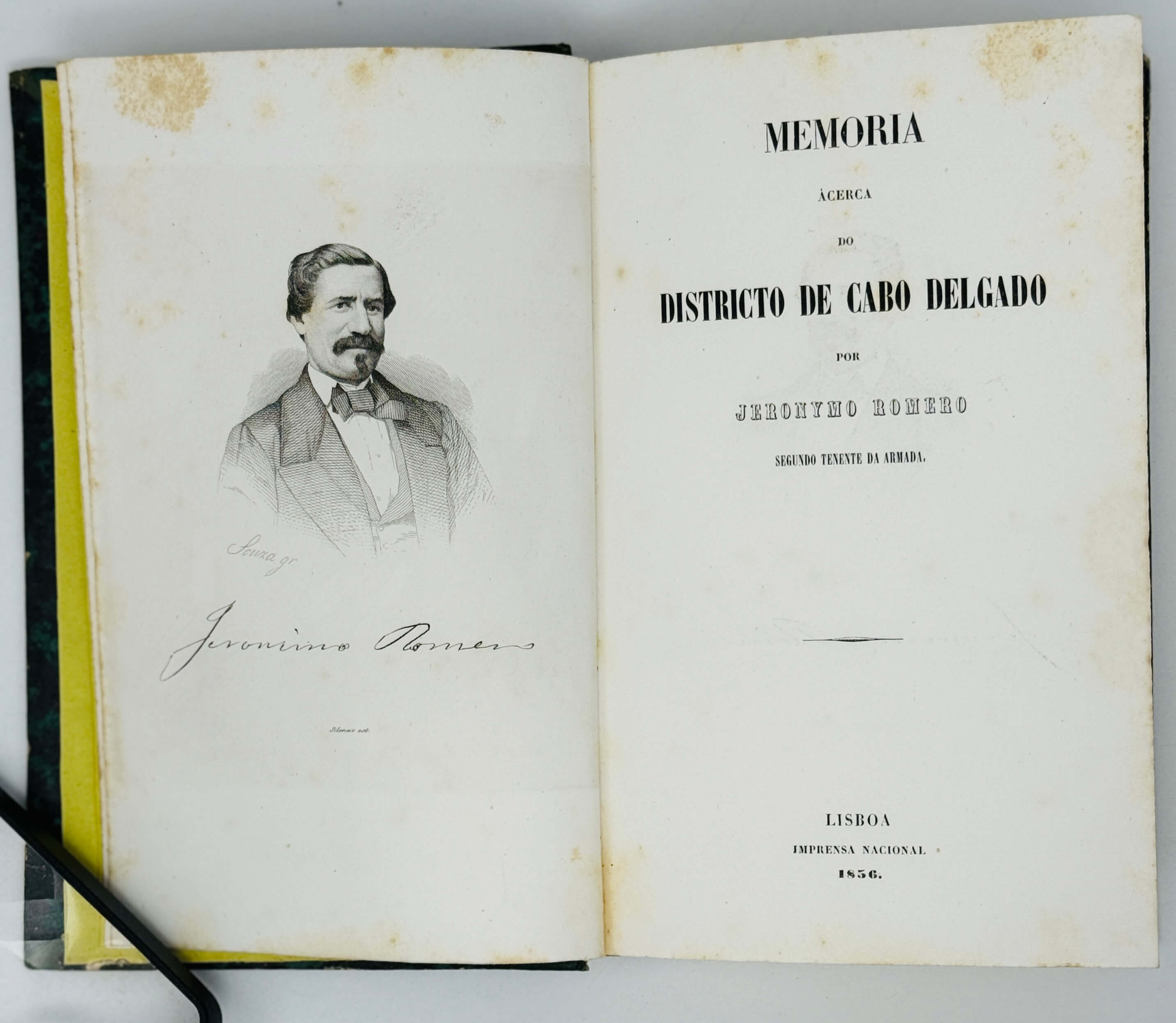
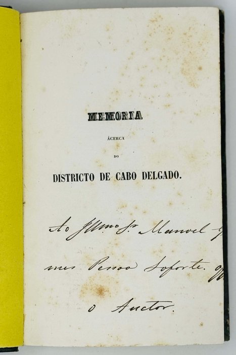
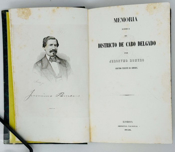
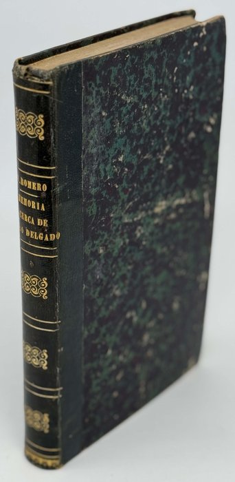
First and only edition. 2 parts bound together. Small Octavo (ca. 22x13,5 cm). 40; viii, 164, [1- errata] pp. With a steel engraved frontispiece portrait, two large folding lithographed maps bound at the end of each part, and a folding table in text. Period dark green quarter morocco with marbled papered boards and gilt lettered title on the spine. Author’s ink presentation inscriptions on both half titles. Boards slightly rubbed, corners slightly bumped, paper slightly age toned, otherwise a very good copy.
Historically significant first-hand account of the attempt of establishment of a Portuguese colony in Pemba Bay (modern-day Cabo Delgado Province of northeastern Mozambique). Founded and headed by a Portuguese naval officer Jeronymo Romero (who was also in charge of the schooner “Angra” presented by the Portuguese king for the support of the new colony), Colonia de Pemba was short-lived and survived only for about five years (1857-1862), the colonists being relocated to the nearby Ibo Island. It was only in 1904 that the bay was again occupied by the Europeans, with the foundation of Porto Amélia by the royal Portuguese Niassa Company. The town was renamed as Pemba at the end of the Portuguese rule in 1975 and is nowadays a bustling port and a tourist destination.
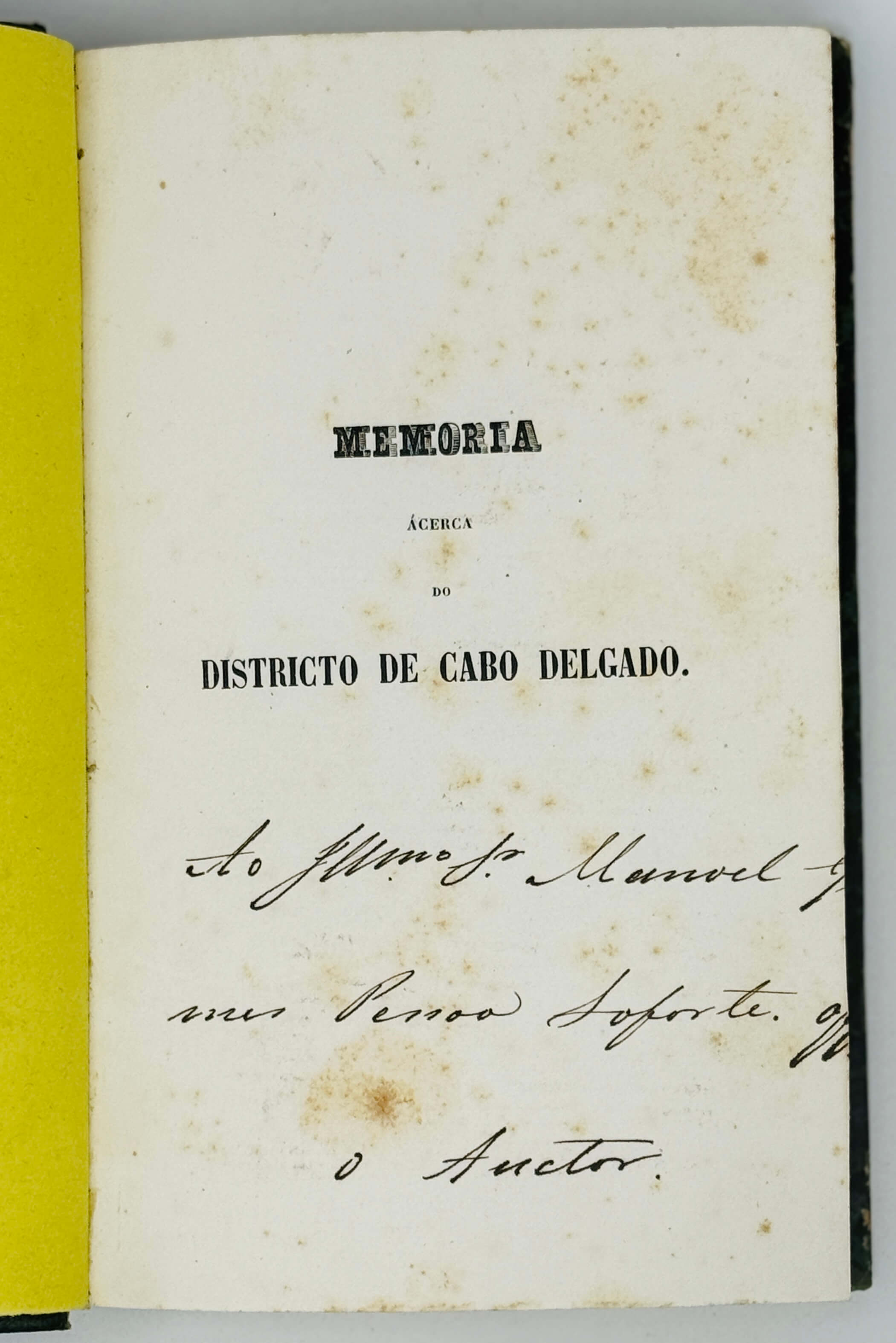
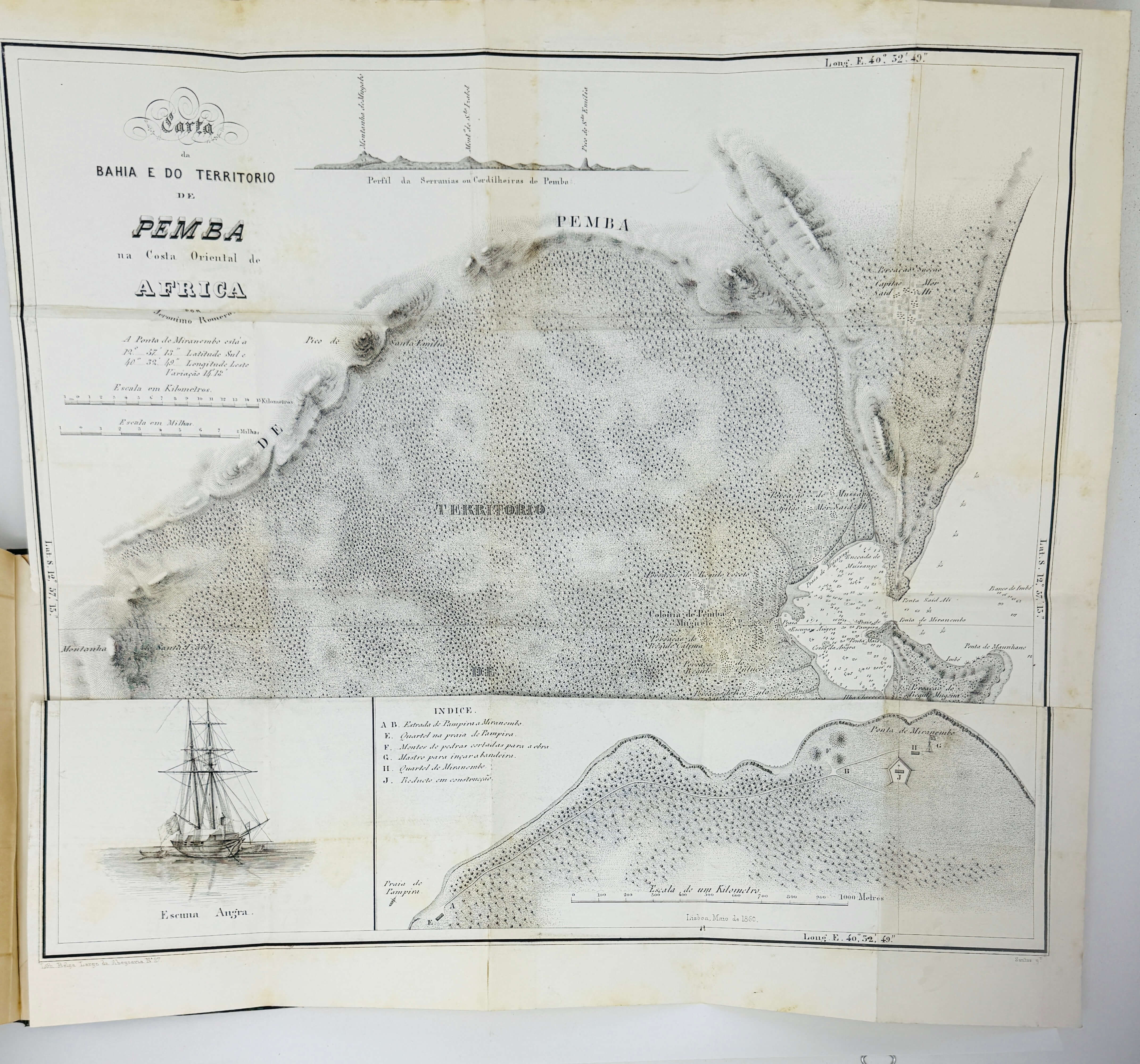
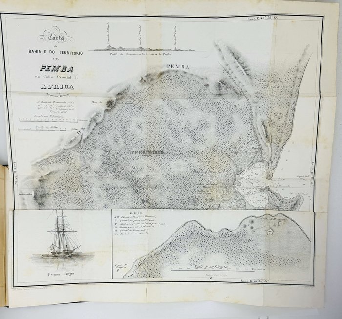
Trying to attract attention and funds to the project of colonizing the coastal region around Cabo Delgado, Romero published its description in 1856, also covering the adjacent Quirimbas Islands; with notes on the region’s main settlements, native people, transport, progress of colonization, and a favourable estimate of its economic potential. The account was followed by a detailed description of the newly established Colonia de Pemba, which included the text of the legal provisions and conditions provided by Portugal for the new colony, and statistical tables representing the data on the colony’s population, administration, finance, agriculture, trade, customs, fishing, public health, slave traffic et al. Both parts were illustrated with two of probably the earliest detailed maps of the coast of northeastern Mozambique and Pemba Bay. The first map shows the “East coast of Africa from Cape Delgado to the Island of Mozambique,” with its islands, bays, main settlements, and sea depths in the shallow coastal waters. The second map is a detailed projection of the Pemba Bay and surroundings, the three inserts showing the shore from Praia de Pampira to Ponta de Miranembo, a profile of the Serranias or Cordilleras de Pemba, and a picture of the “Angra” schooner. One of the inserts features a proposed coastal fort near Ponta de Miranembo (now Ponta Romero), aimed to protect the entrance to the Pemba Bay. A smaller version of the fort was constructed in 1863-64, after the abolishment of the Colonia de Pemba, but was also abandoned in 1865. Half-titles to both parts bear the author’s presentation inscription to “Ilustríssimo senhor Manoel G.P. Soforte.” Overall an attractive copy of this important book on Portuguese colonization of Mozambique.

