#RA40
1910
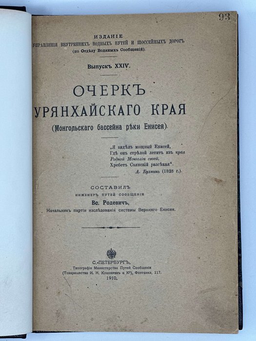
First Edition. Quarto. [2], II, [4], 206 pp. With 20 phototype plates and a large folding chromolithographed map at the rear. Period style dark brown half sheep with marbled papered boards; spine with raised bands and a gilt-lettered title; front publisher’s wrapper bound in. A few library stamps on the title and p. 17, otherwise a very good copy.
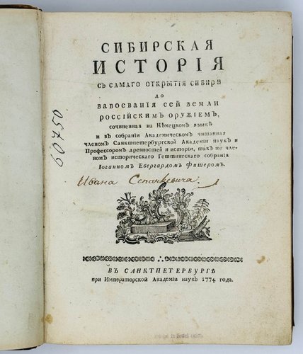
Very rare Russian imprint with only two paper copies found in Worldcat (University of Chicago, the Claremont Colleges).
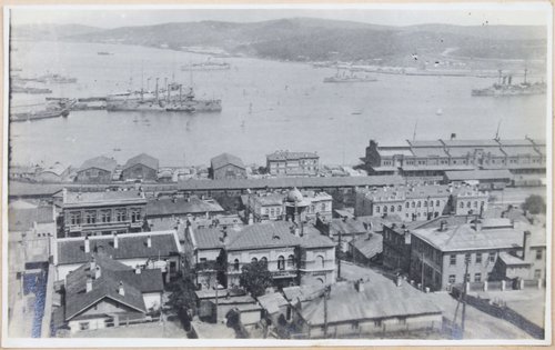
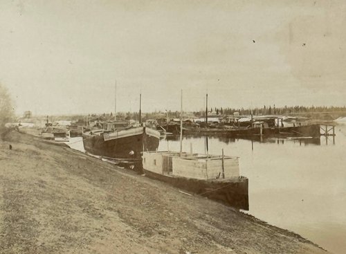
An important account of the 1907-1909 Russian expedition to the Uriankhai Region on the Upper Yenisei River, between the Sayan and Tannu-Ola Mountains, then a part of China (joined the Russian Empire in 1912, now – the Republic of Tyva in the Russian Federation). The official purpose of the expedition was to determine how navigable the Yenisei River was on the way from Minusinsk to the Russian border and further to its upper reaches. The expedition also had a political goal, as Uriakhai had been a sphere of Russian interests for a long time. It was attractive because of rich deposits of gold (the first two Russian gold mines were founded in the Sayan Mountains in 1838-39), profitable trade with the locals (started in the 1840s) and vast territories suitable for Russian settlers who came there in large numbers in the 1870s. In 1906-1910, the Russian government sent several expeditions to Uriankhai to explore its deposits of gold and asbestos and determine the possible route for the Usinskii Tract/Road (built in 1911-1917).
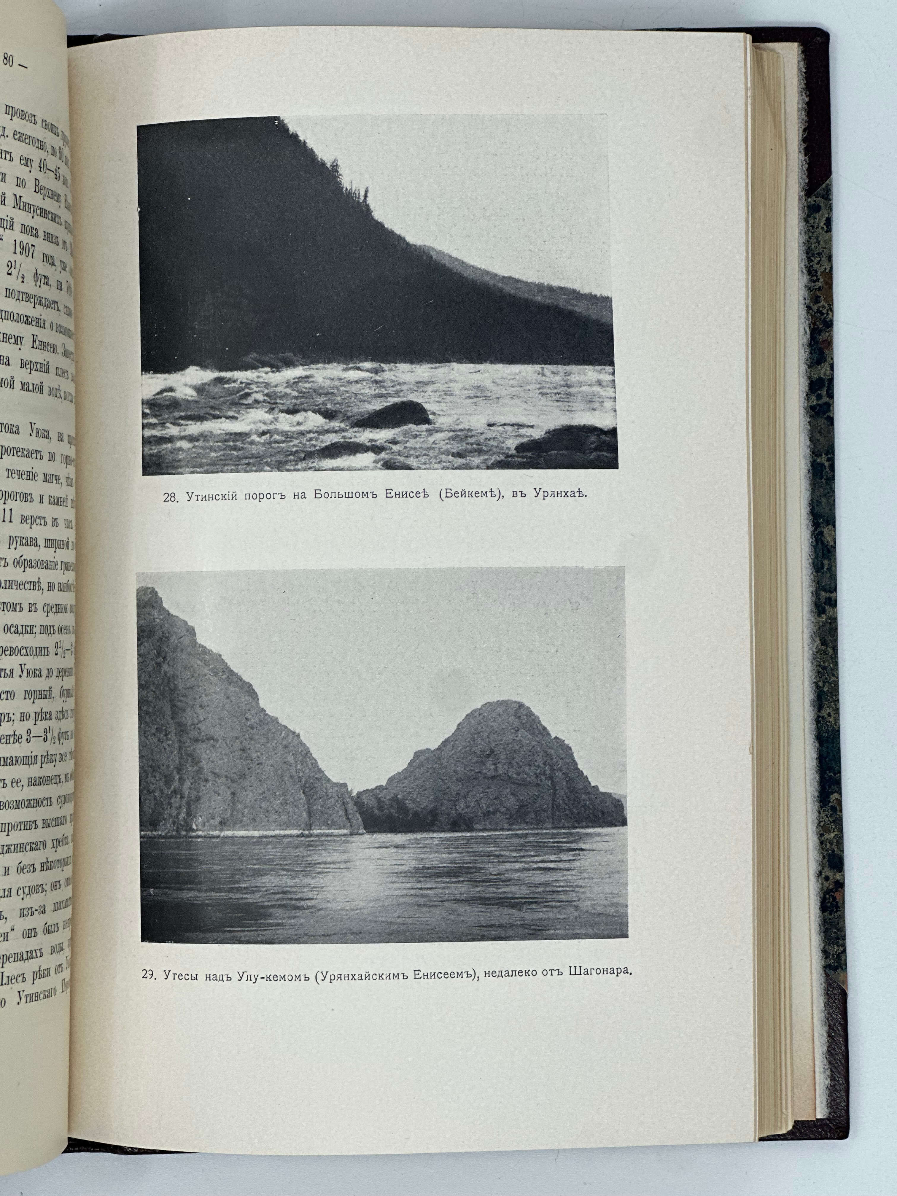
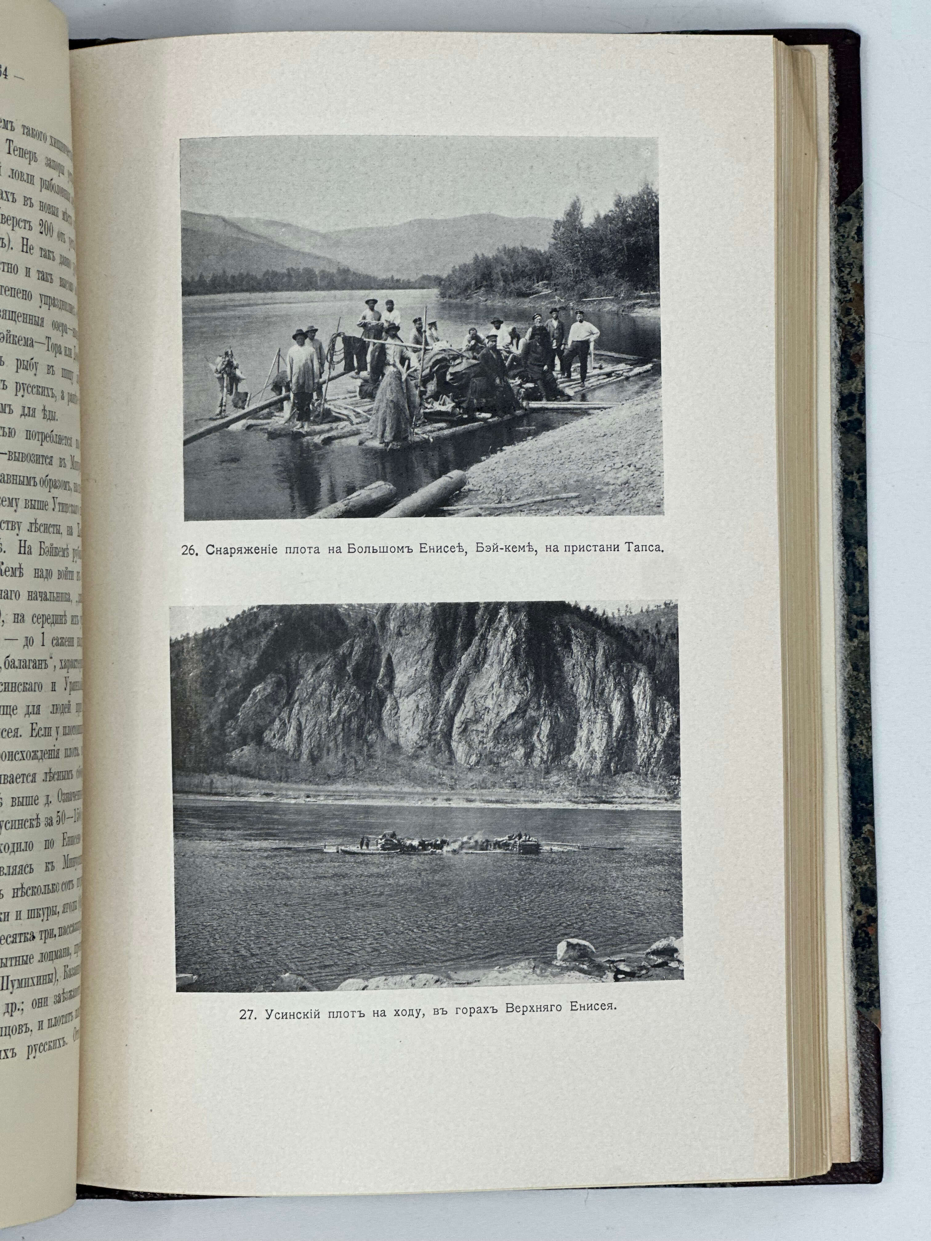
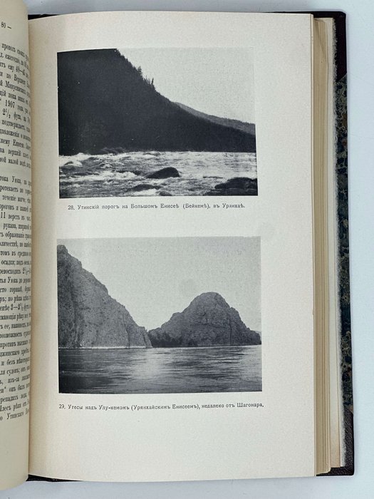
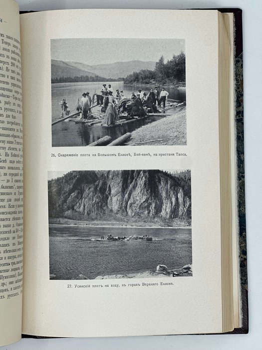
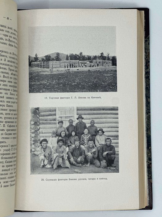
This account, written by the head of the research party, "can serve as a reference on the ‘Uriankhay question’ in its modern state" (Preface, p. [i]). Richly illustrated with photographs made by a member of the Minusinsk Photography Society, N. Fedorov, the book describes Uriankhai's geography, population, history of relations with the Chinese, Mongolians and Russians; Russian population in the region and its main activities; transport; "Uriakhai border question," "Migration to Uriankhai"; "Measures of support of the Russian entrepreneurs in Uriankhai" and others. Eight supplements include statistics on the Russian settlements, gold mines, trade turnover, etc; the main bibliography of the question and a detailed map of Uriankhai, marking rail and caravan roads, mountain trails and passes, river rapids, gold deposits, etc.
Russia’s annexation of Uriankhai took place just two years after the book was published. During the Xinhai Revolution in China (1911-1912), several influential Uriankhai feudal lords asked the Russian Emperor to take the region as a Russian protectorate. On April 17, 1914, Uriankhai was included in the Irkutsk Province. In 1921, Uriankhai became the People’s Republic of Tannu-Tyva; in 1944, it was included into the Russian Socialistic Republic. Today it’s the Tyva Republic, a south-Siberian part of the Russian Federation.