
#PC99
Ca. 1880s
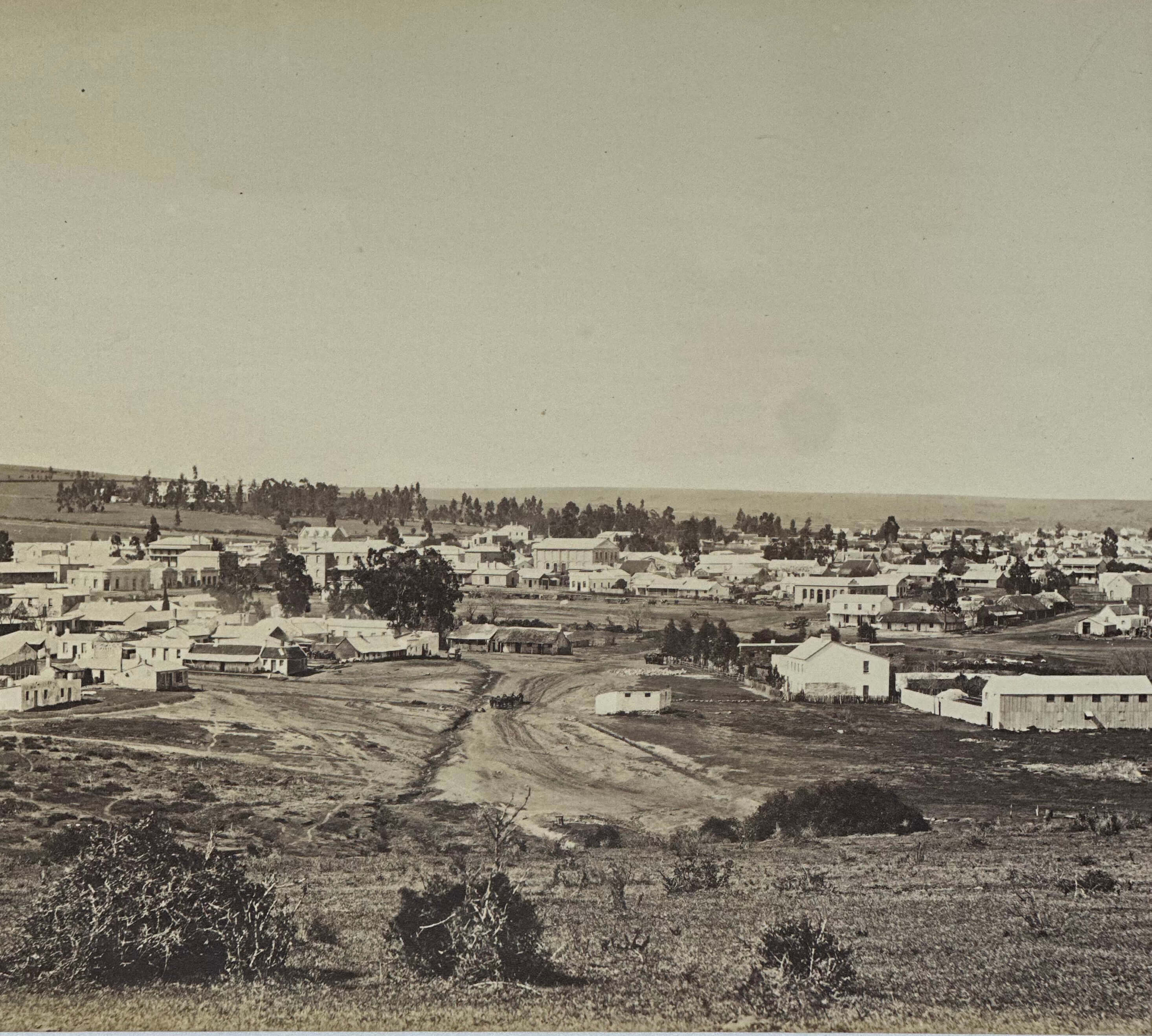
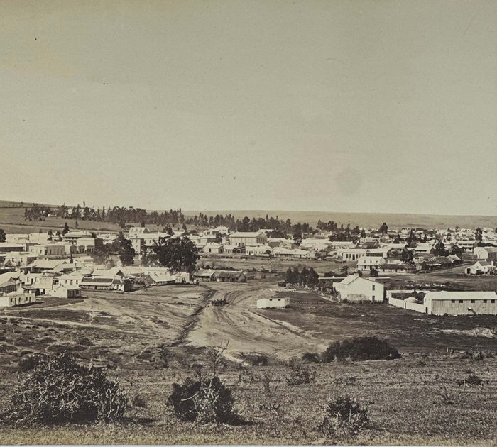
Four-part folding albumen photograph panorama ca. 18x98 cm (7 x 38 ½ in), dissected and mounted on linen. Unsigned. Pencil note in English “King Williams’ Town” on verso. Image mildly faded, but overall in very good condition.
Interesting panorama of King William’s Town shows a wide-spread settlement with the downtown core in the centre and residential quarters with vegetable gardens to the left and right.
“Founded by Sir Benjamin d'Urban in May 1835 during the Xhosa War of that year, the town is named after William IV. It was abandoned in December 1836, but was reoccupied in 1846 and was the capital of British Kaffraria from its creation in 1847 to its incorporation in 1865 with the Cape Colony. Many of the colonists in the neighboring districts are descendants of members of the British German Legion disbanded after the Crimean War and provided with homes in Cape Colony; hence such names as Berlin, Braunschweig, Frankfurt, Hamburg, Potsdam and Stutterheim given to settlements in this part of the country. King William's Town was originally declared the provincial capital of the surrounding Adelaide District in the 1830s. On 5 May 1877, the Cape Government of Prime Minister John Molteno opened the first railway, connecting the town to East London on the coast and to the Xhosa lands inland and further east. With its direct railway communication, the town became an important entrepot for trade with the Xhosa people throughout "Kaffraria". The area's economy depended on cattle and sheep ranching, and the town itself has a large industrial base producing textiles, soap, candles, sweets, cartons and clothing” (Wikipedia).

