#RA43
1915
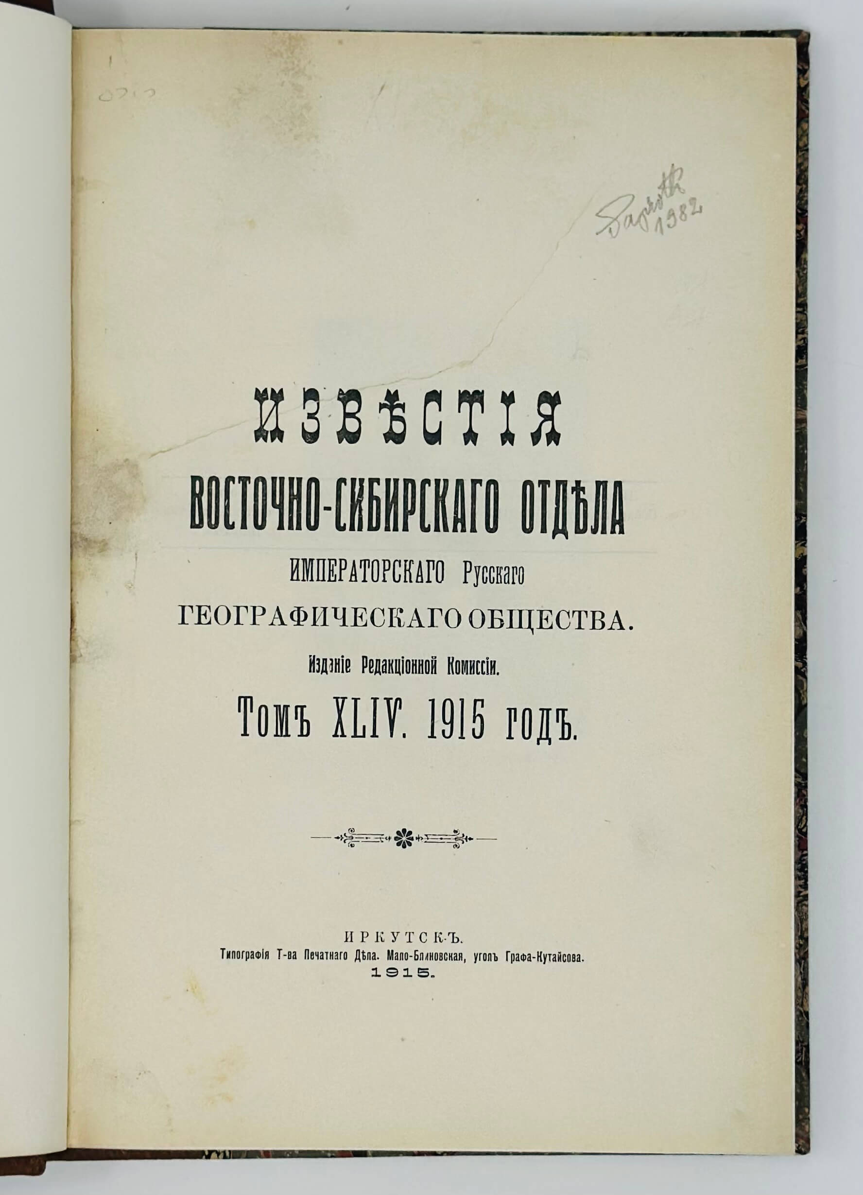
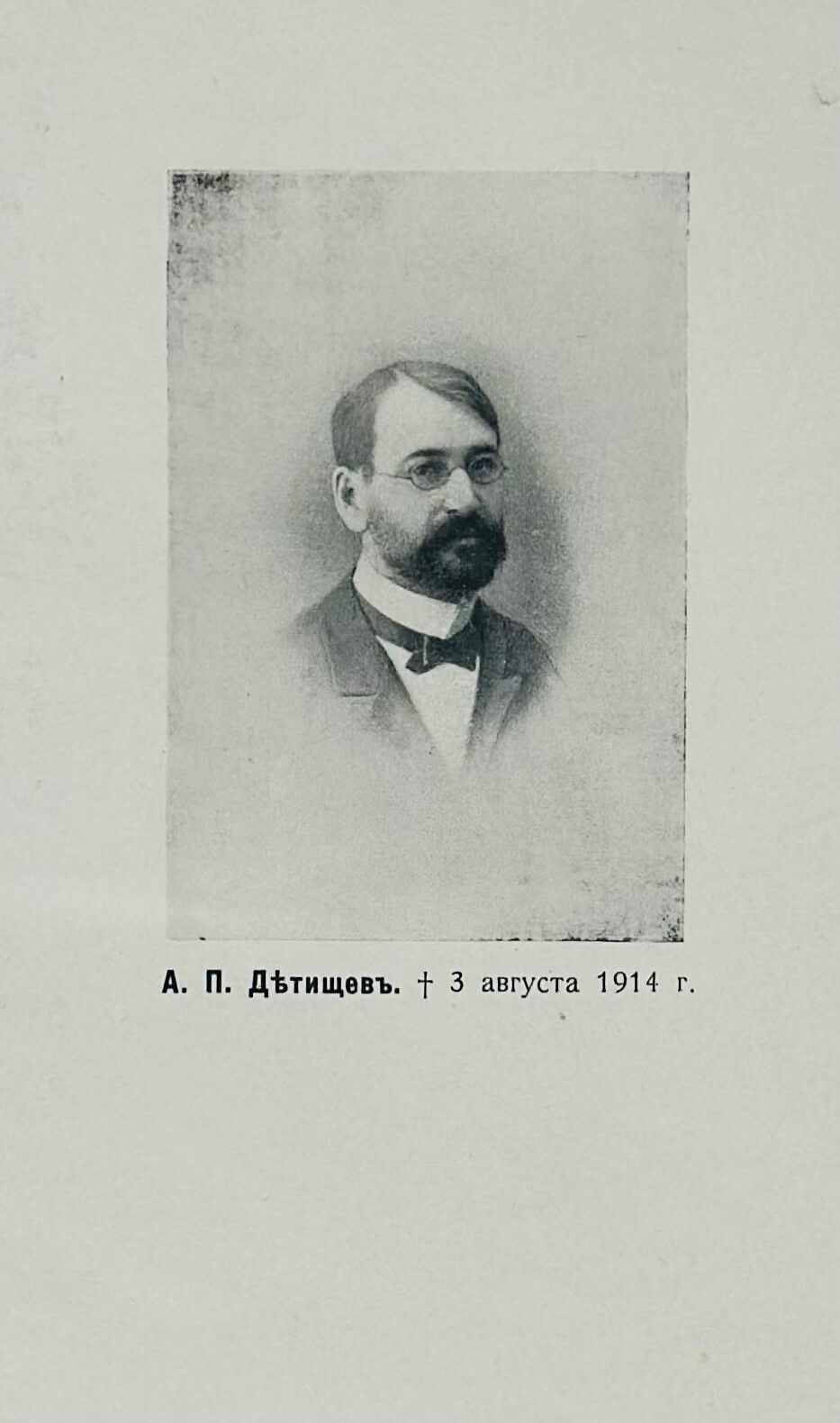
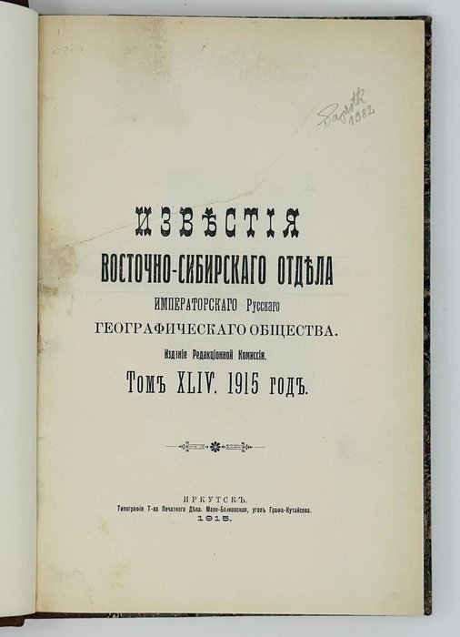
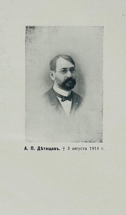
First Edition. Octavo (ca. 25x16,5 cm). [2 – t.p.], iii, 266, [1 - errata], [1 – table of contents] pp. With a large folding chromolithographed map, a phototype portrait and a lithographed statistical plate. Period style brown quarter sheep with marbled papered boards; spine with a gilt-lettered title. Title page with a neatly restored tear, two minor stains on the portrait; the plate is bound in (in four separate parts), but overall a very good copy.
The first Russian description of the Hulunbuir region of the Chinese Empire and later the Republic of China published in the official periodical of the Eastern Siberian Department of the Russian Geographical Society in Irkutsk. Hulunbuir region, with the center in Hailar (today in the northeastern Inner Mongolia region of China), borders Russia on the river Argun in the north and Mongolia in the west and became a ground of political and territorial struggle between the countries in the 20th century.
“In 1901, the Chinese Eastern Railway linked Hulunbuir to the rest of northeast China and to the Russian Far East. From 1912 to 1949, during the Republic of China (ROC) period, Hulunbuir was part of Xing'an and Heilongjiang provinces. In winter 1912, the Barga Mongol people of Hulunbuir expelled the Chinese troops and administration and proclaimed the independence of Barga (Hulunbuir); afterwards they declared allegiance to the Bogdo Khan of Mongolia; an agreement between the Russian Empire and the ROC on November 6/October 24, 1915 designated Hulunbuir a "special" region under direct subordination to the Central Government of China, but in practice Russia had partial control over day-to-day administration and economy” (Wikipedia).
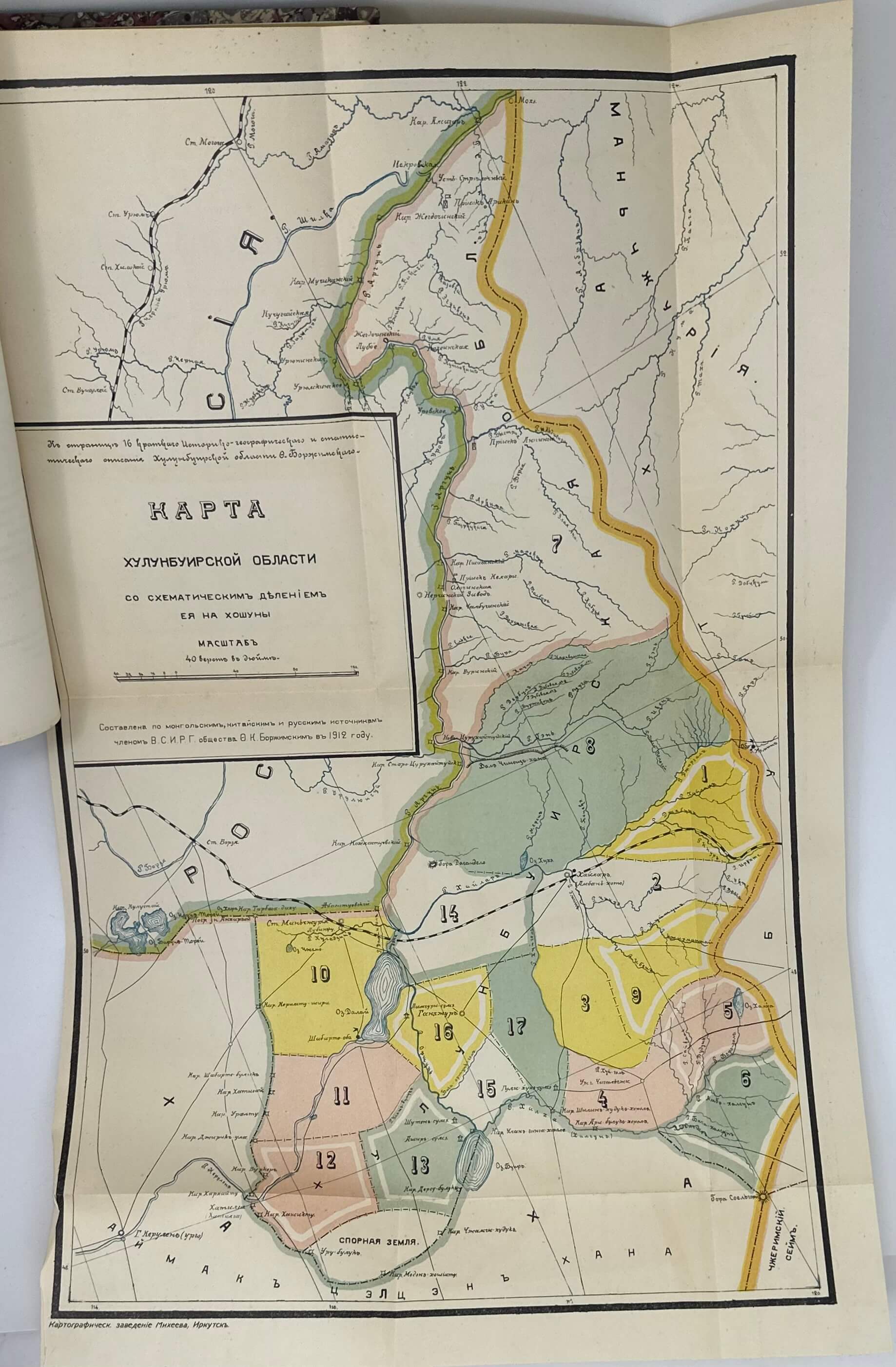
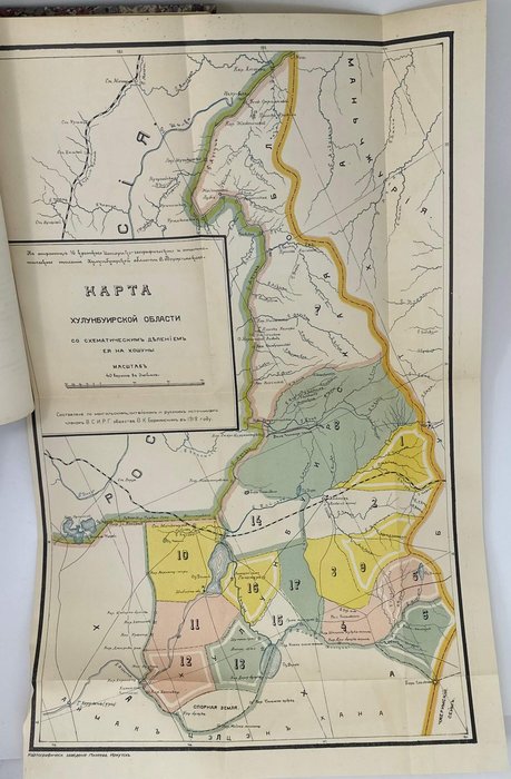
The expedition, organized in 1911 by the Eastern-Siberian Department of the Russian Geographical Society, went from the Manzhouli station of the Chinese Eastern Railway to Hailar, then around the eastern shore of the Hulun Lake to the mouth of the Kherlen River and thence to Urga (Ulan Bator) and Kyakhta. The official account of the expedition leader, Fedor Borzhimskii, describes the borders of the Hulunbuir region, its relief, climate, main rivers and lakes, history and administrative system, different tribes and their occupations (mostly animal produce, but also agriculture), main roads etc. The account is supplemented with a large chromolithographed map outlining Hulunbuir’s borders and inner districts (banners), “disputed territories” in the south, settlements, rivers and lakes, Chinese Eastern Railway and dirt roads. Overall an important, lesser-known early description of the Hulunbuir Region of China.
Fedor Borzhimskii was a Siberian Cossack, historian, cartographer and ethnographer, a member of the Russian Geographical Society. He spoke Chinese, Mongolian and Japanese and compiled a Russian-Mongolian dictionary. He fought during World War I and died in the Ukraine during the Russian Civil War (1917-1923).
This issue of the “Proceedings” also includes the following articles: Rozhkov, N. To the History of Economy in Siberia (pp. 39-90); Podgorbunskii, I. Legends and songs of Buryats (pp. 91-108); Bogdanov, M. Indigenous agriculture in the south of the Yeniseyskaya province (pp. 109-136); Merkhalev, D. Workers on the goldfields of the Lena River (pp. 137-196); Serebrennikov, I. First settlements in the Irkutsk province (pp. 197-224); Mongolian folk story "Badarchin" retold by F. Borzhimskii (pp. 225-238), Shiryayev, F. The University in Irkutsk (pp. 239-266).

