#O10
[1871]
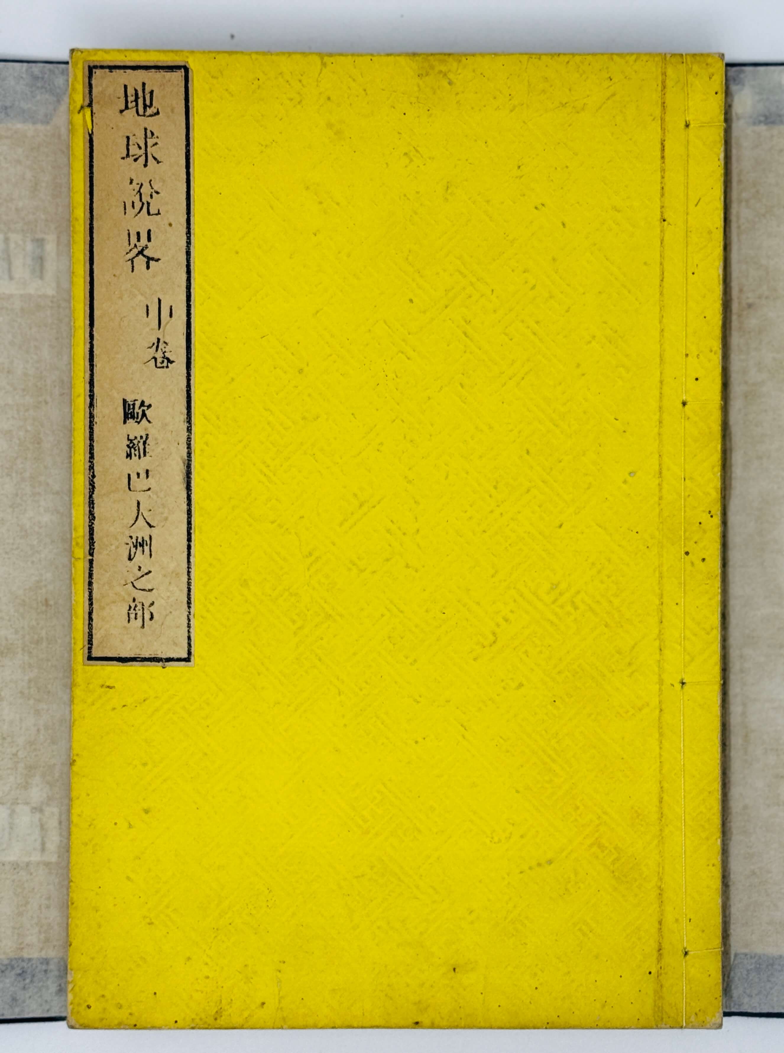
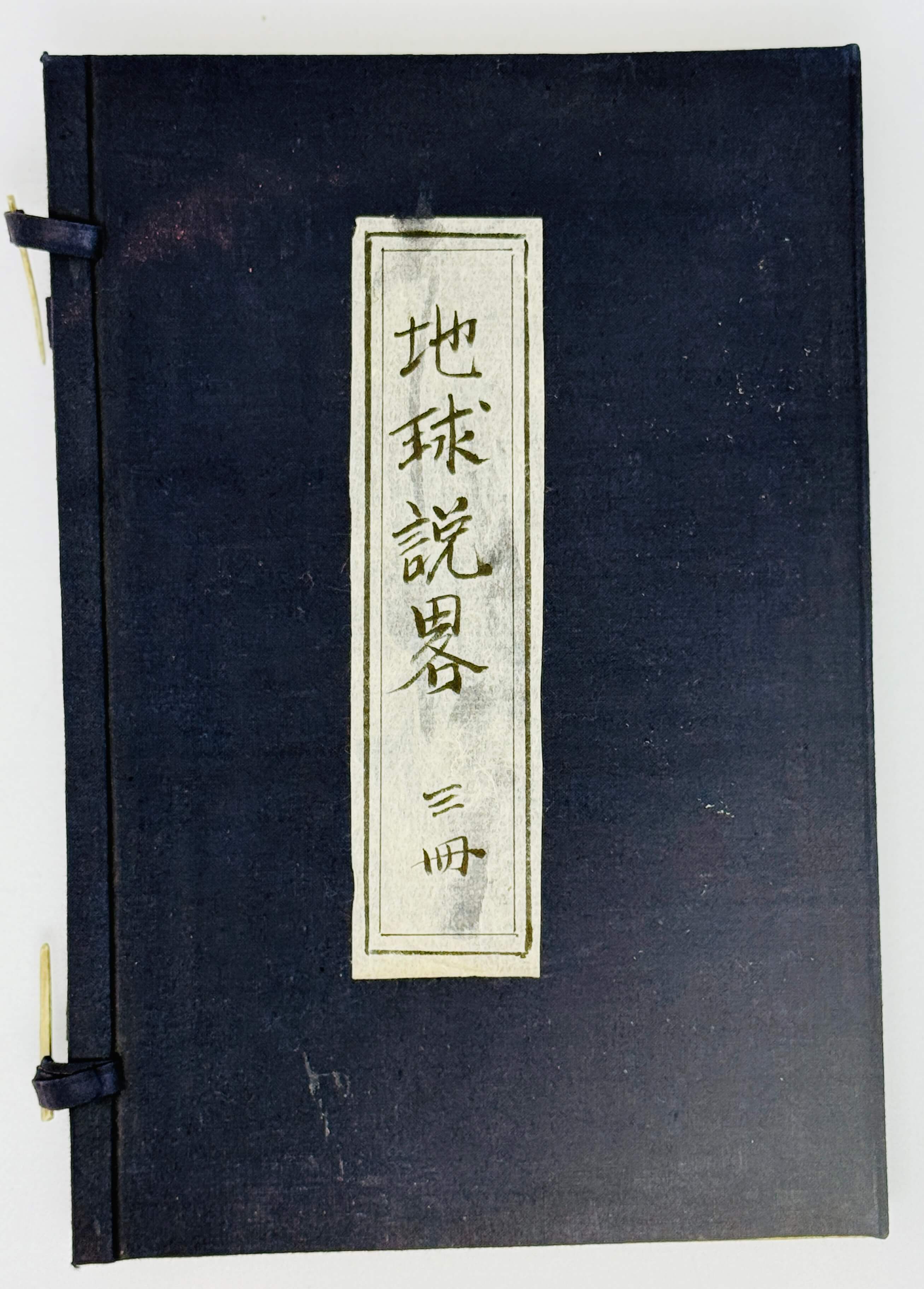
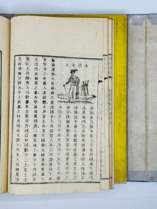
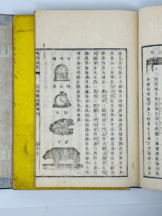
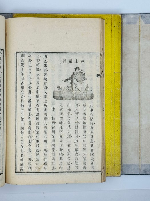
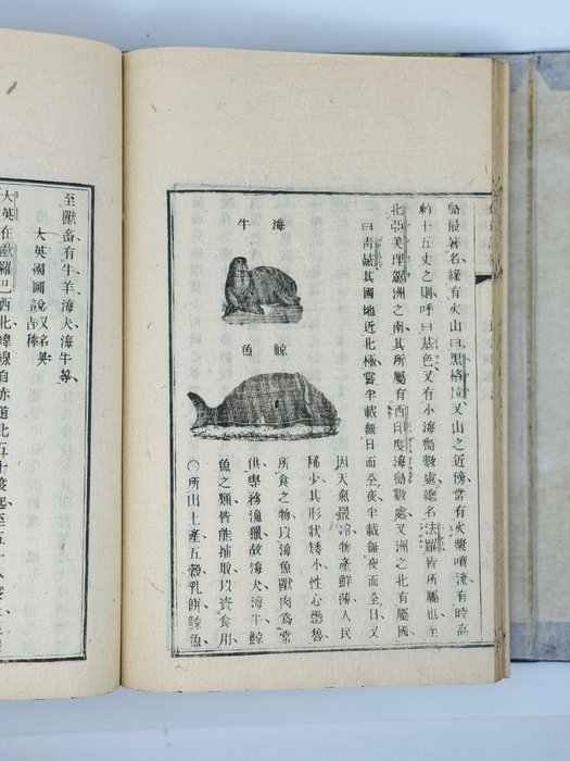
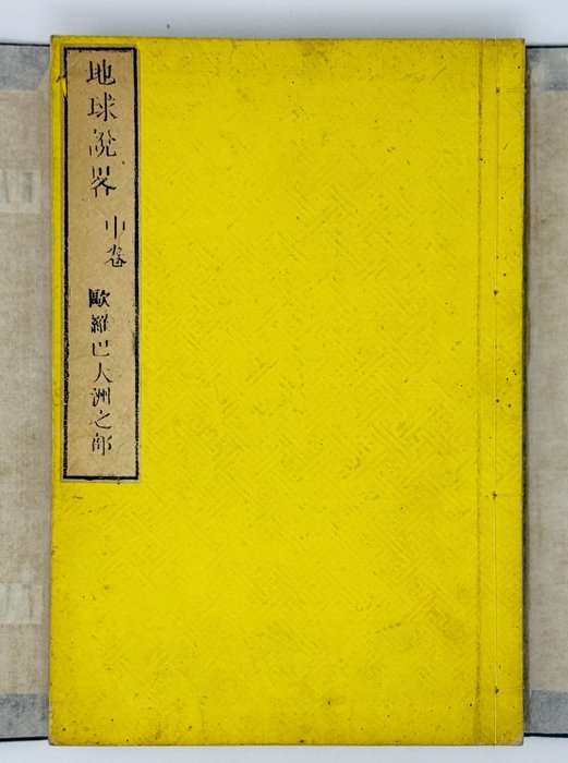
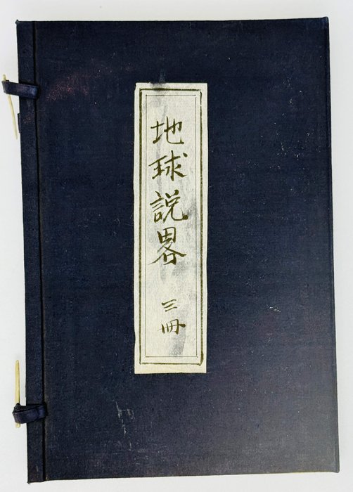
Complete in three volumes. Small quarto (ca. 25x16,5 cm). Second edition, a slightly later impression. [1, 42], [34], [41] thin two-ply leaves; with a period reprint of the title page of the first edition (dated 1856), seven folding woodcut maps, five single-page woodblock illustrations (including two on both sides of a folding leaf), and over forty woodcuts in text. Text (in Japanized Chinese) and illustrations within double borders (ca. 18x13 cm), main text ten vertical lines. Each part in original yellow Japanese fukuro toji bindings with leaves sewn together with a string and paper title labels on the front covers (vol. 1 missing the title label), additional printed text on the bottom edges of each volume. All volumes housed in a period style blue chitsu case. Covers slightly soiled and rubbed, corners slightly bent, occasional worm holes on the leaves neatly repaired, but overall a very good set.
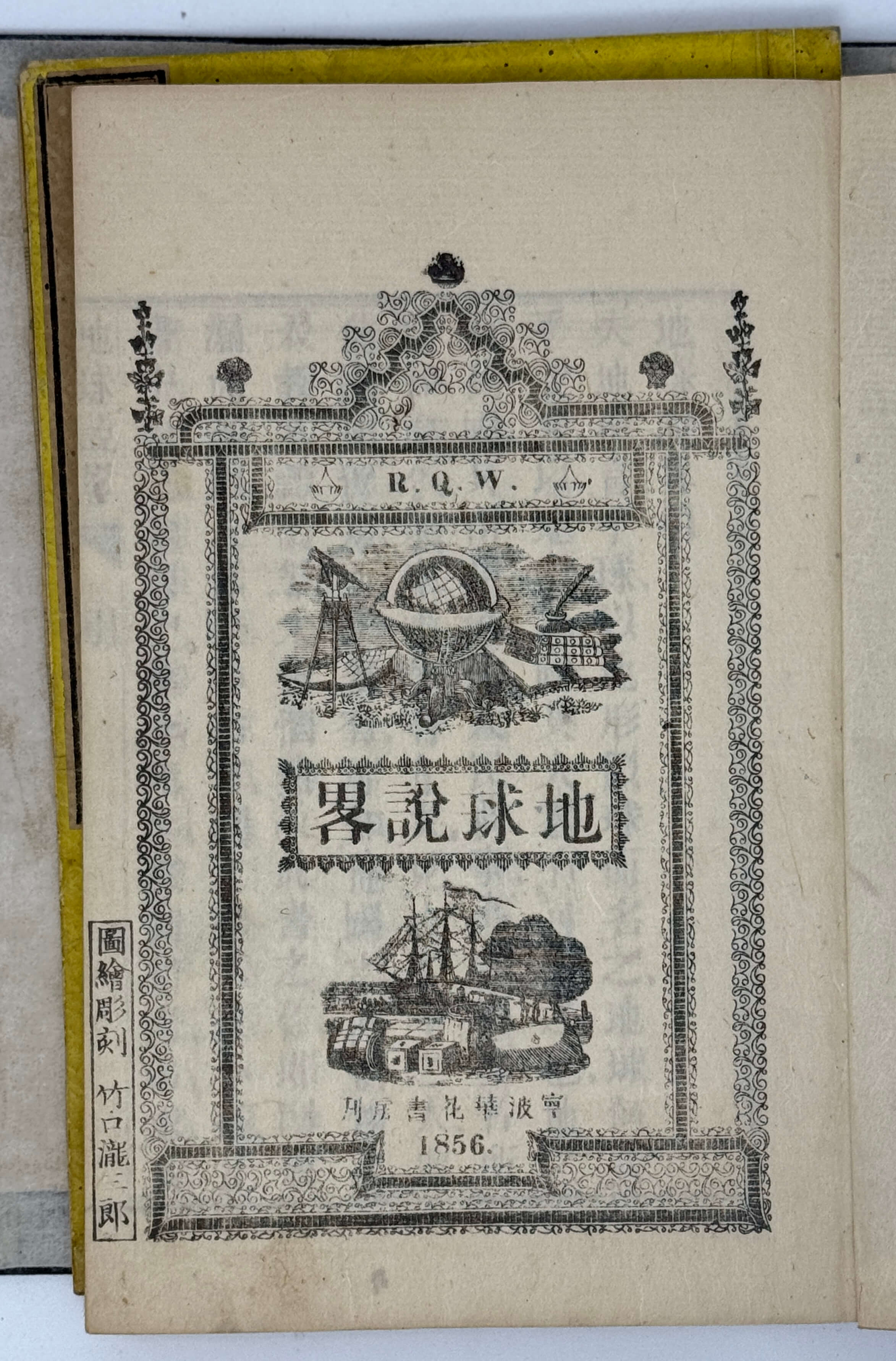
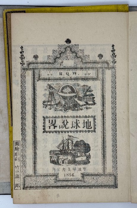
Important Japanese translation of “Di qiu shuo lüe”, a well-know overview of the world’s geography written for the Chinese readers by Richard Quarterman Way, an American missionary in Ningbo and Shanghai. The Chinese edition was first published in Ningbo in 1856, being printed with movable type, and four years later it was published in Japan as a fully engraved edition, with some pronunciation symbols and grammatical marks added by the editor Mitsukuri Genpo. A doctor and noted Japanese scholar of Western learning, Mitsukuri Genpo worked at the Bansho Shirabesho (“Institute for the Study of Barbarian Books”), the Shogunate’s centre for Western studies which became one of the founding organizations which merged to form Tokyo University in 1877. Mitsukuri edited the original text, omitting the notes and passages of Christianity which was under persecution in the Shogunate until 1871.
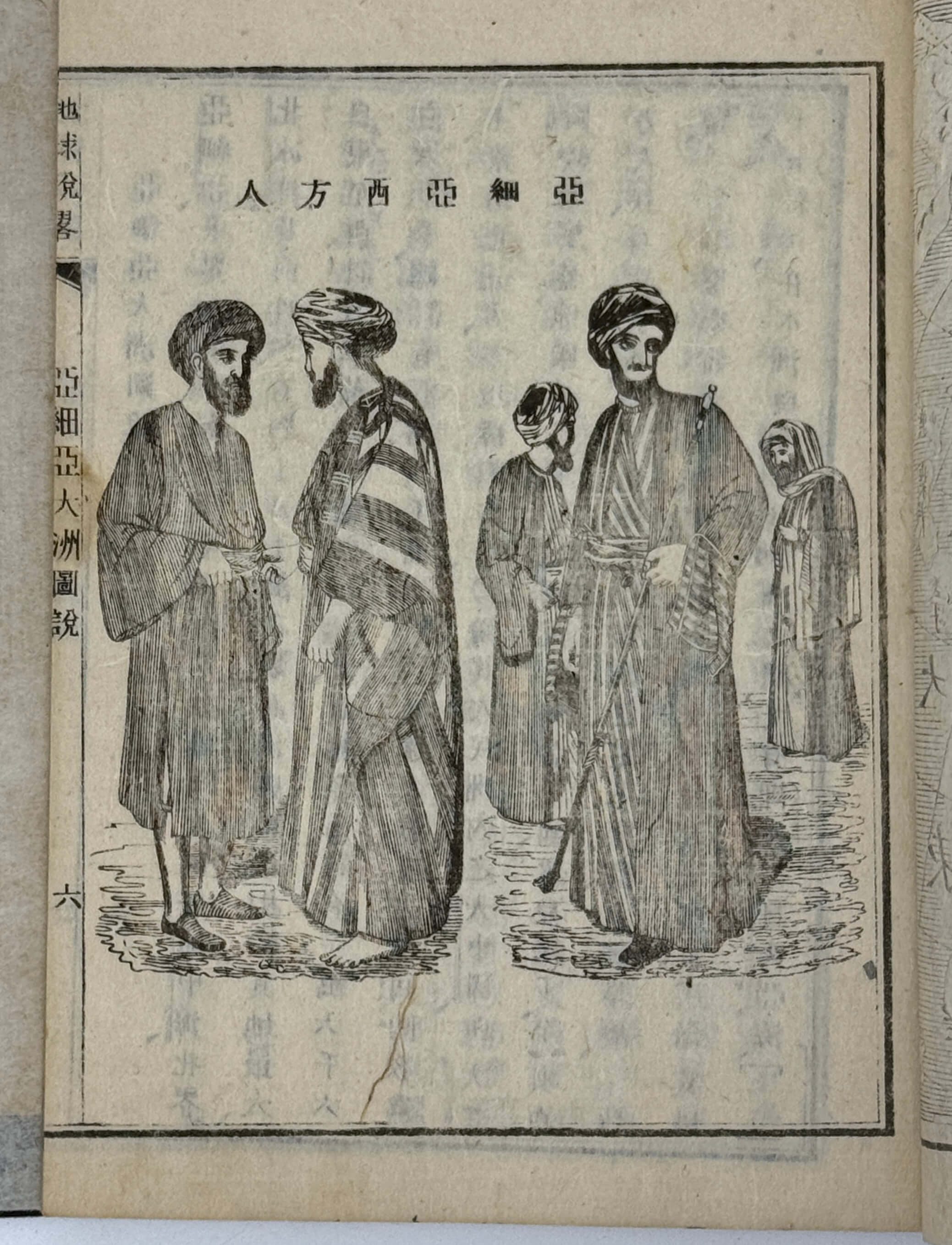
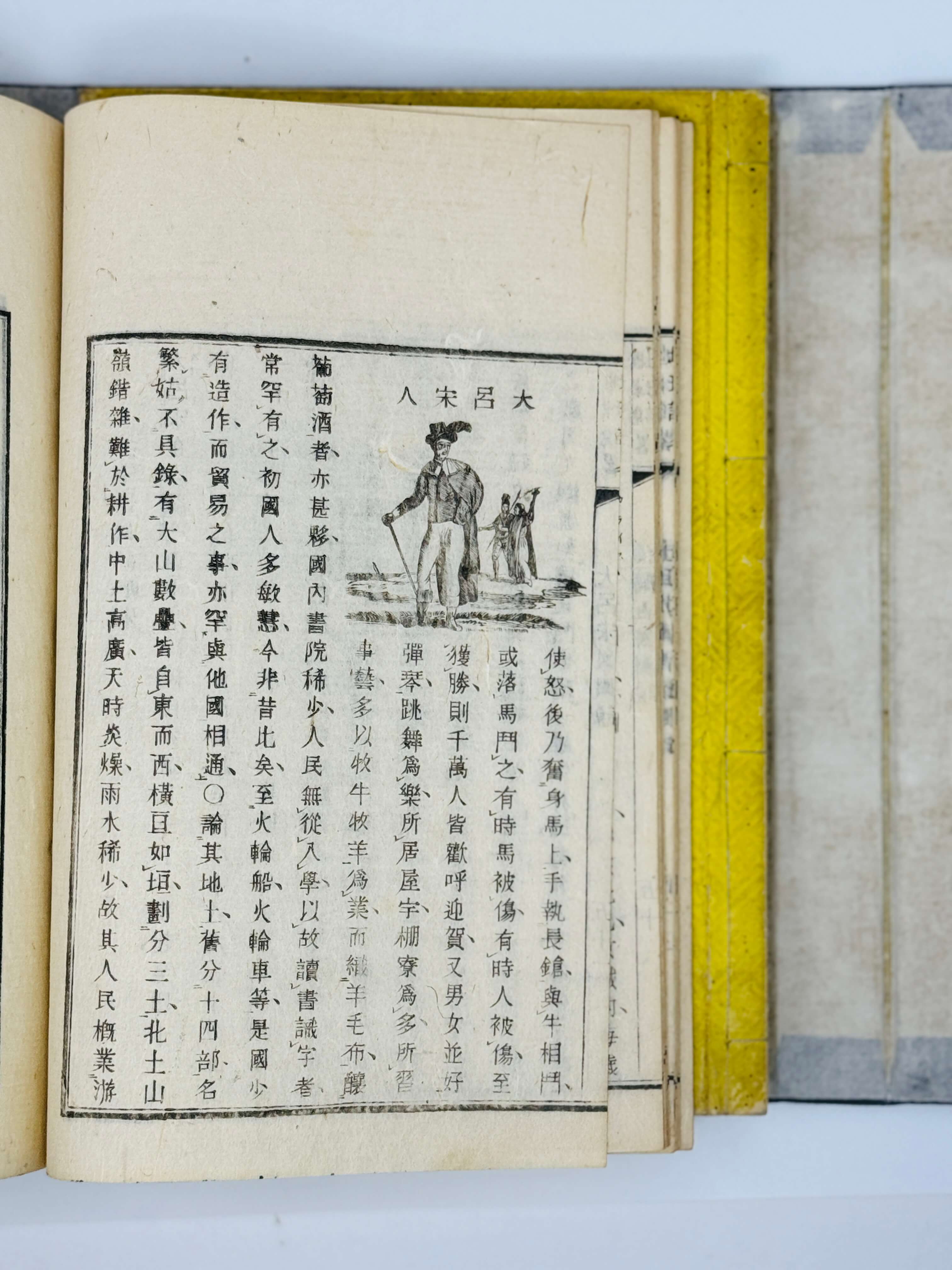
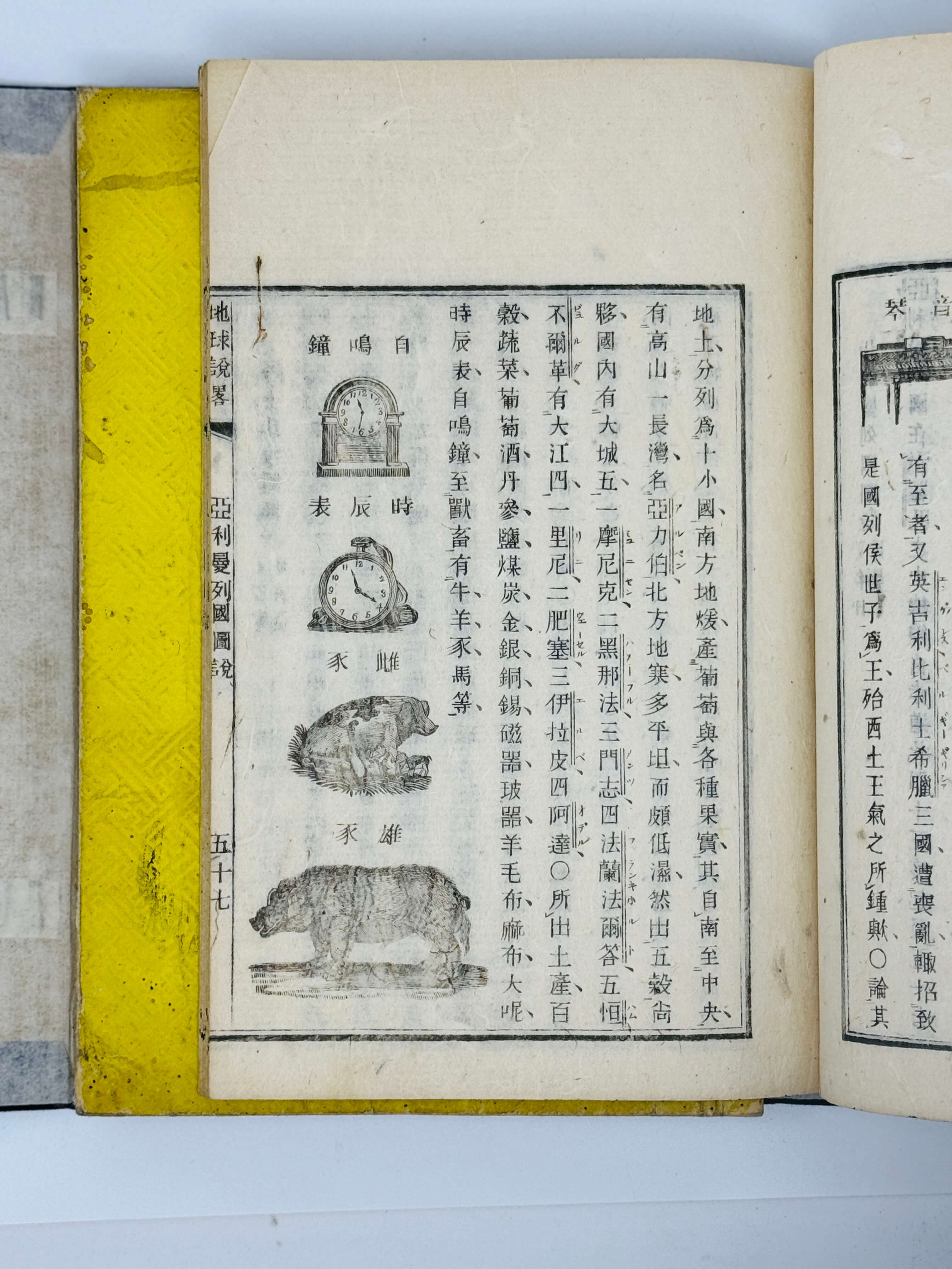
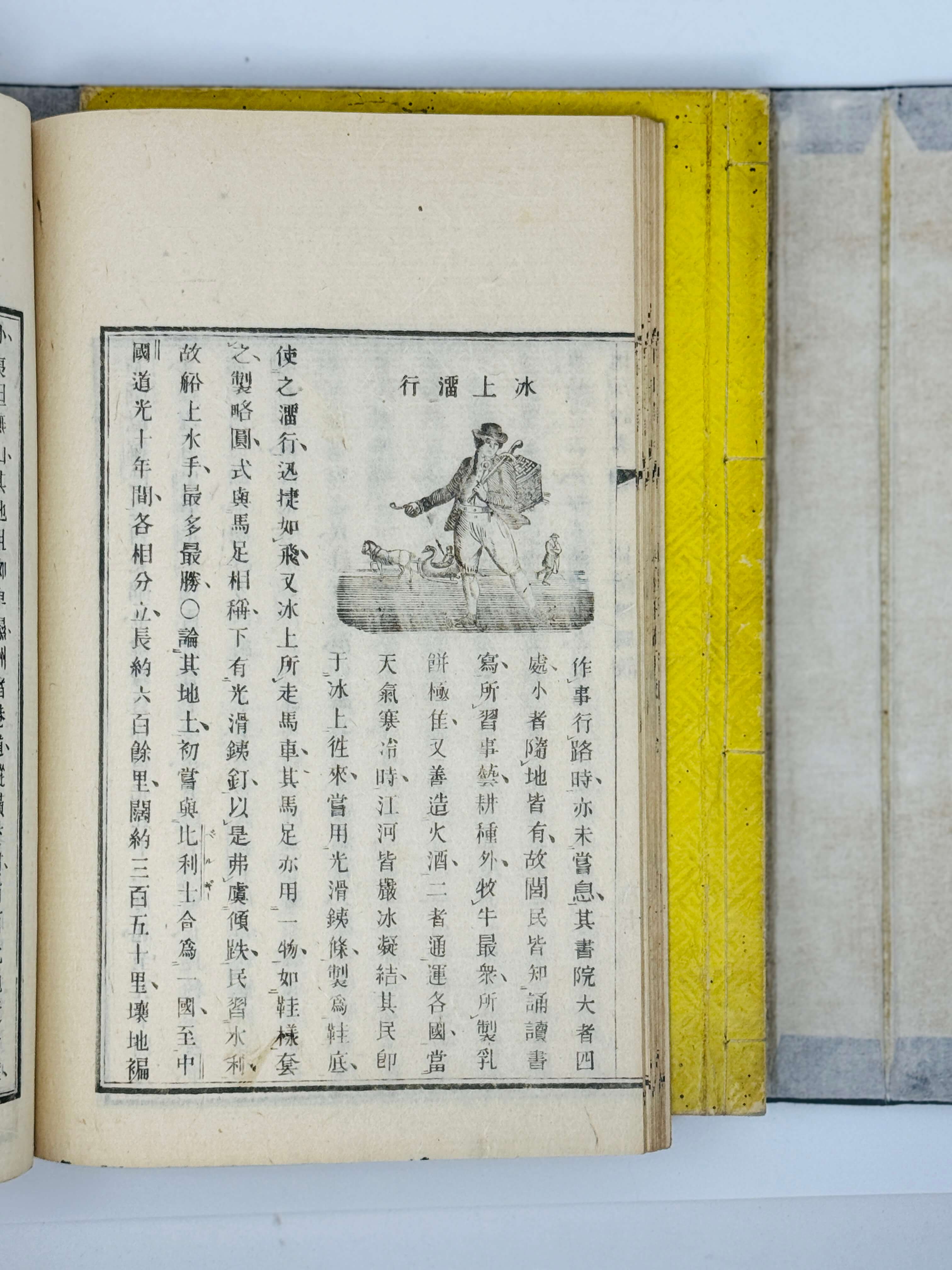
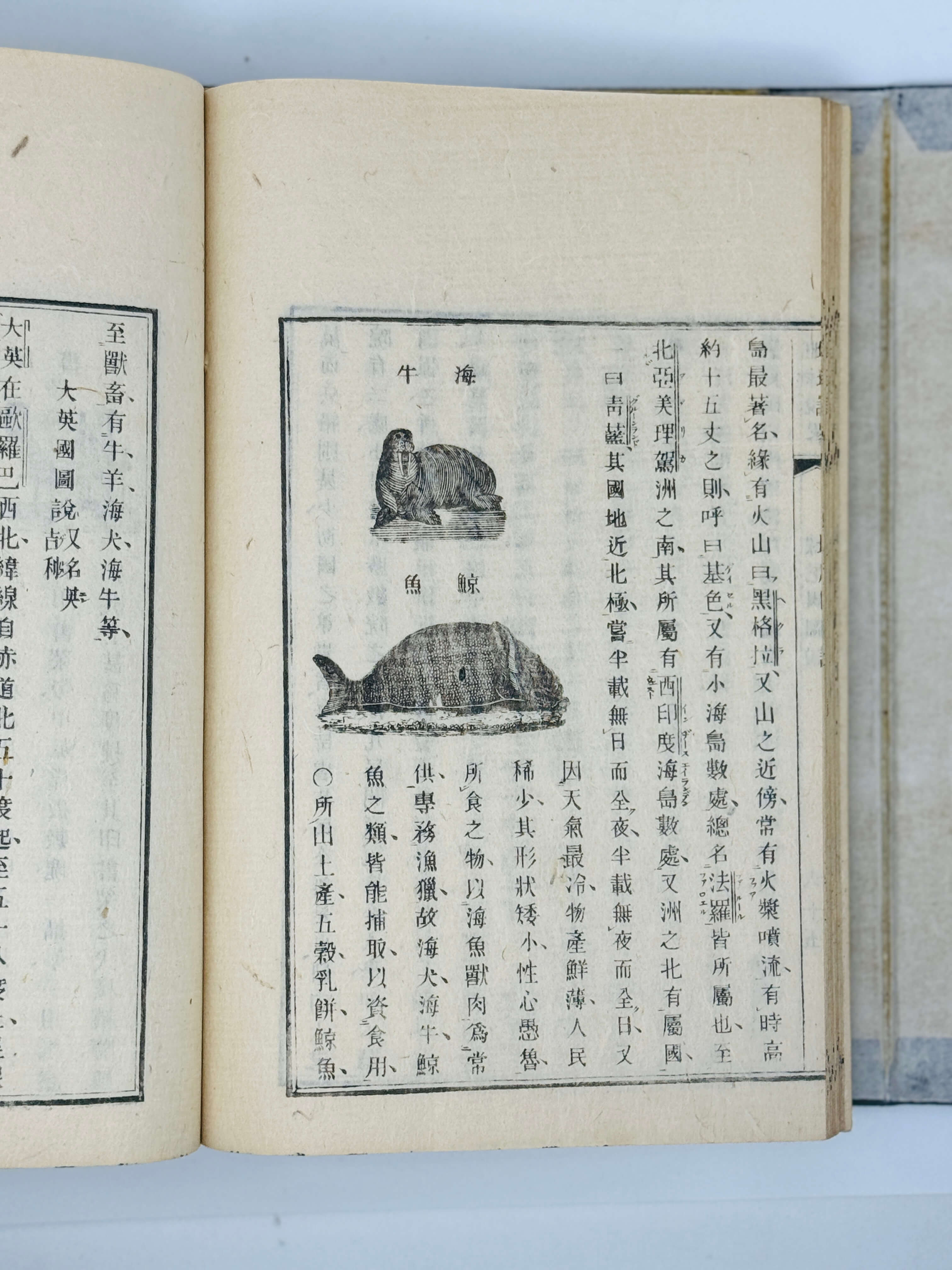
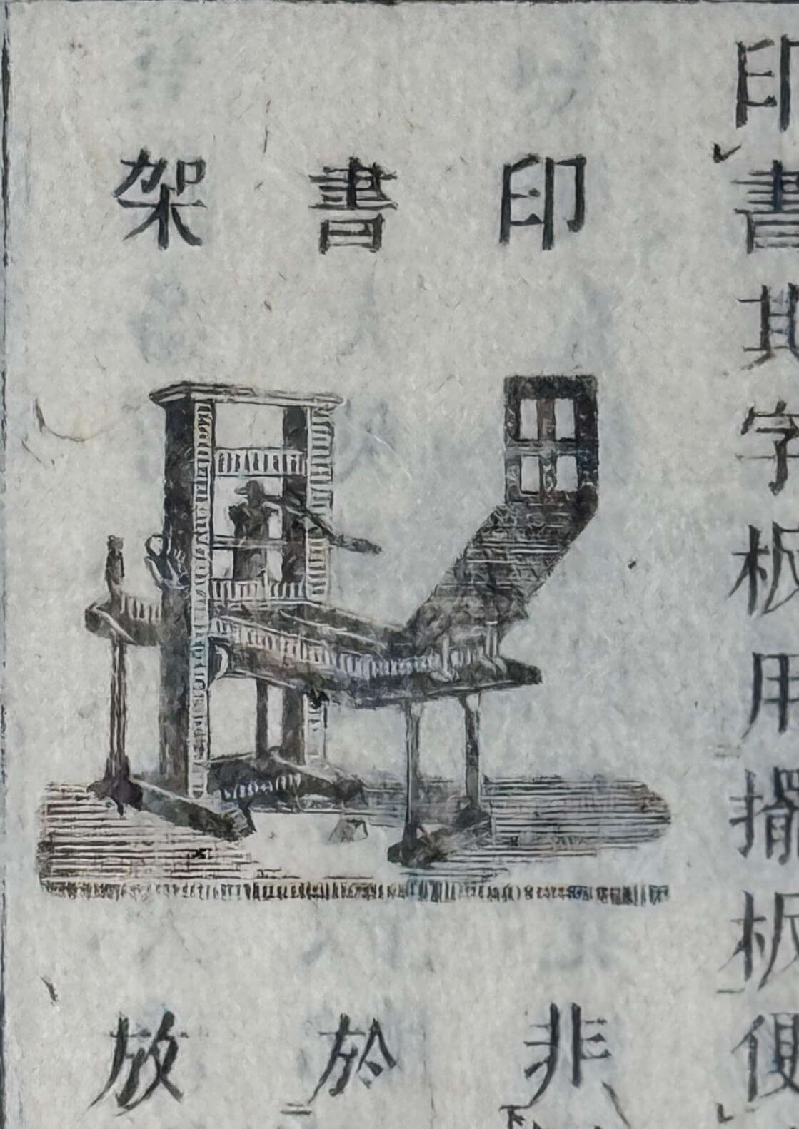
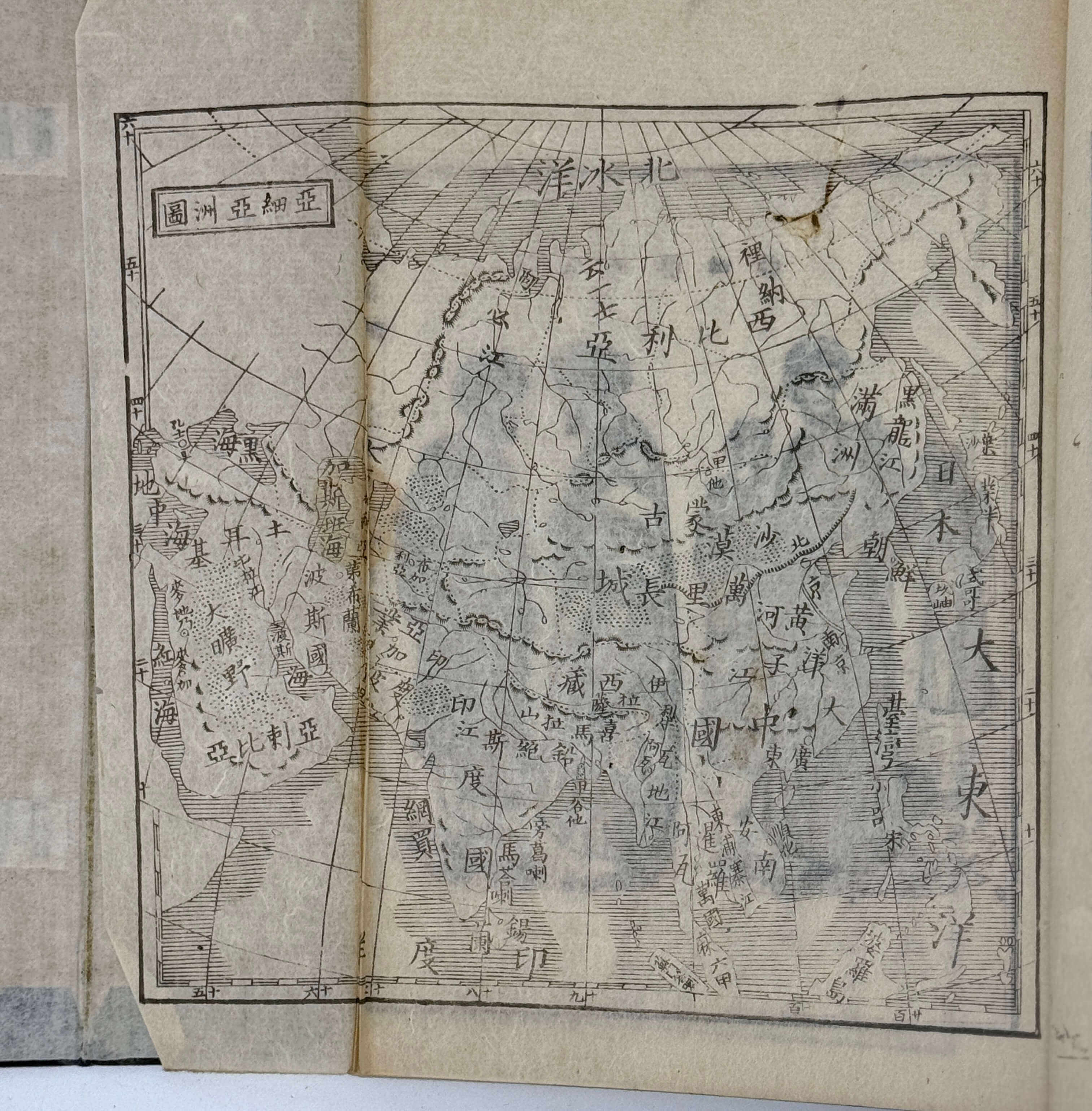
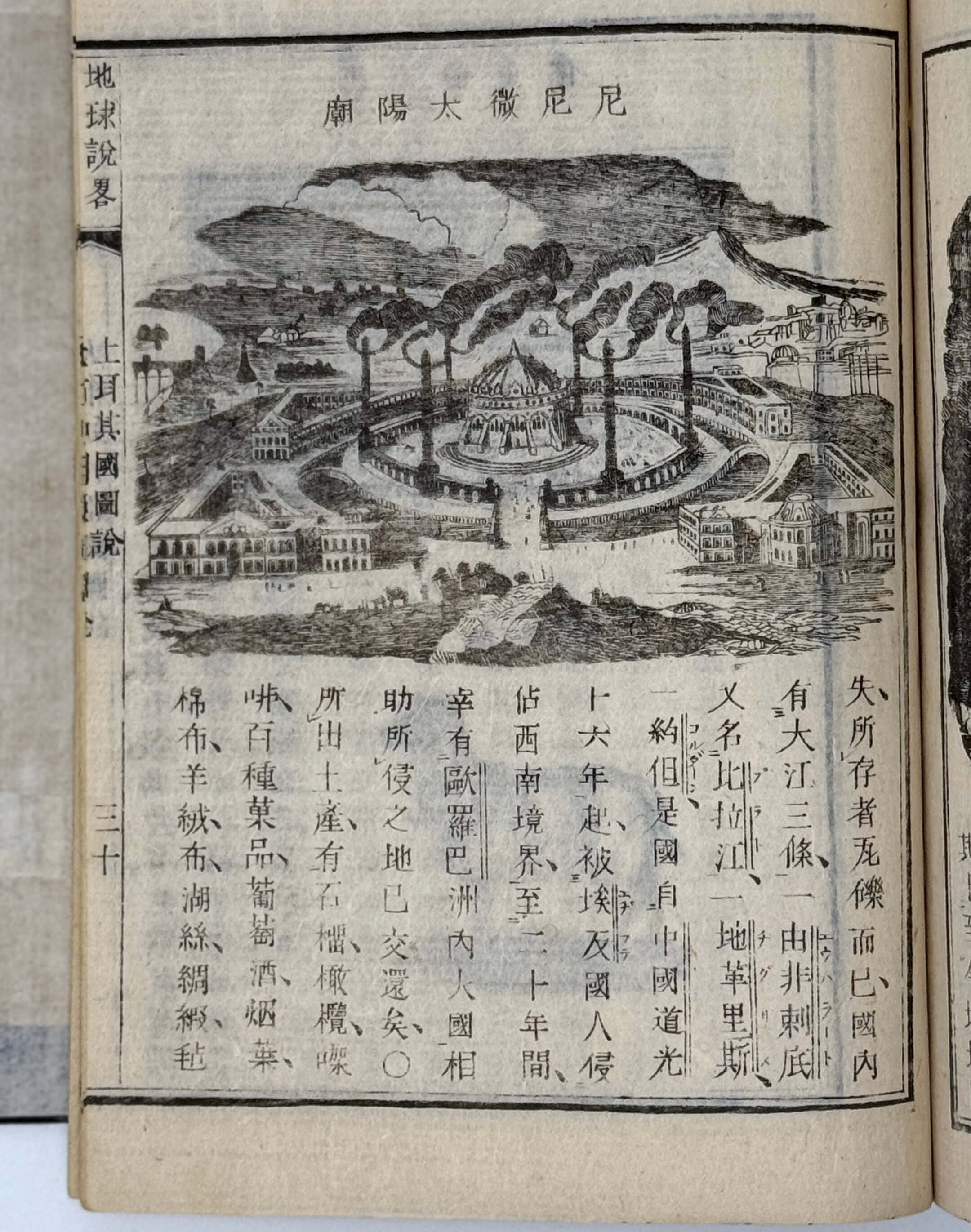
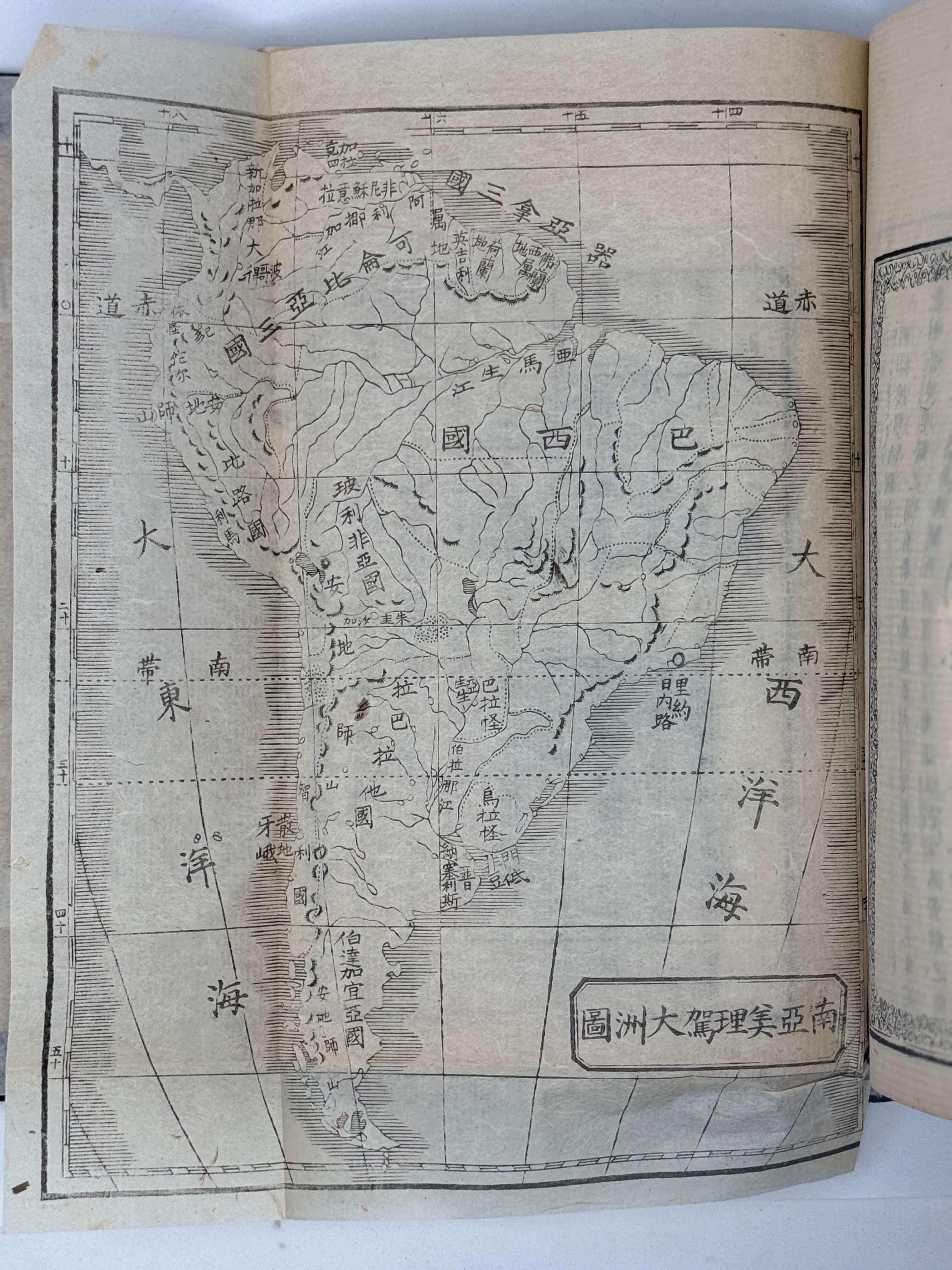
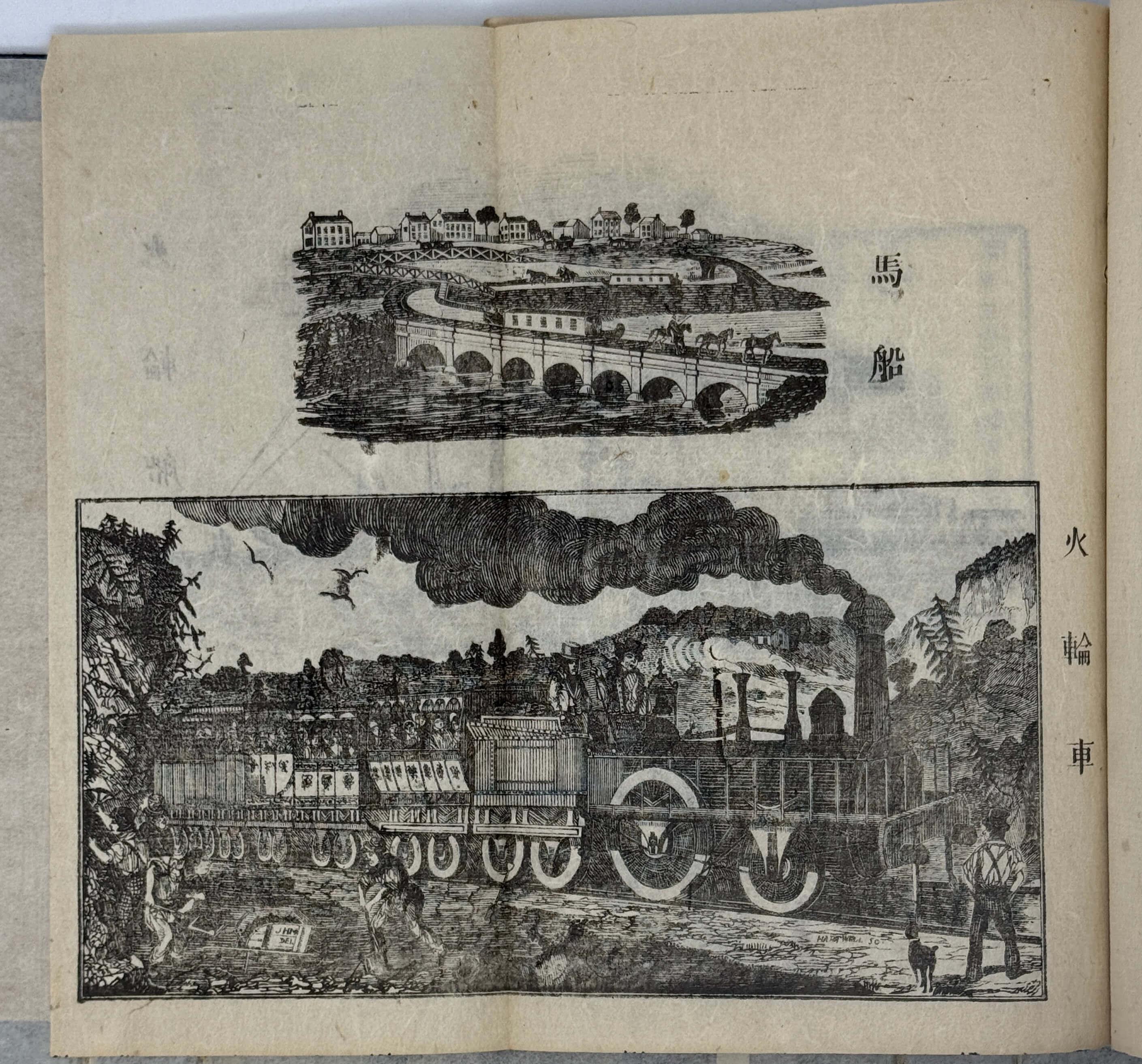
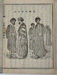
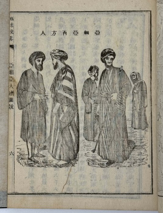
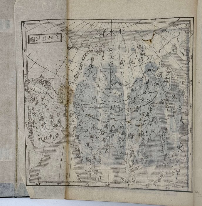
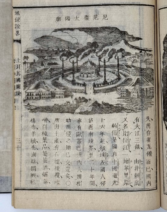
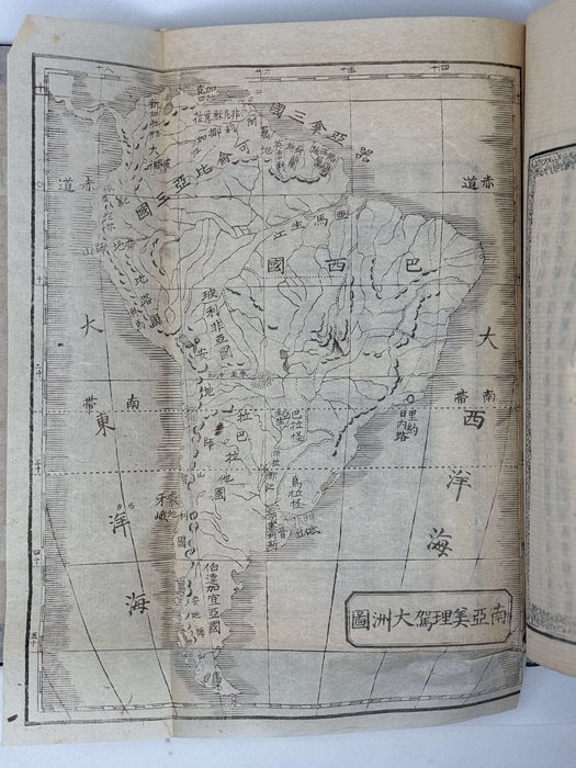
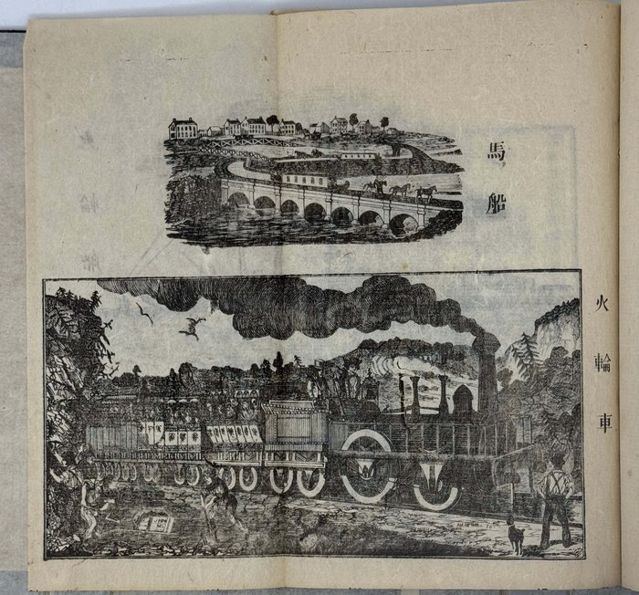
The first volume includes a period reprint of the original title of the Ningbo edition and is dedicated to Asia, the second volume described Europe, and the third volume - Africa and both Americas. The woodcut illustrations focus on costumes and fauna of the described continents, with the exception of North America where steamships and railways feature prominently. The folding maps depict the Eastern hemisphere, Western hemisphere, Asia, Europe, Africa, North America, and South America. The date of this edition has been ascertained on the basis of the advertising of new books by Rokokan Zoshi, the “Chikyu Setsuryaku’s” publisher, printed on the last leaf of the third volume (the advertised books were published in 1871). “Chikyu Setsuryaku” “was widely used as a textbook in the early Meiji period” (Islam in the Eyes of the West/ Ed. By T. Ismael, A. Rippin. New York, 2010. p. 127).
Not in Kerlen.

