#O35
1804
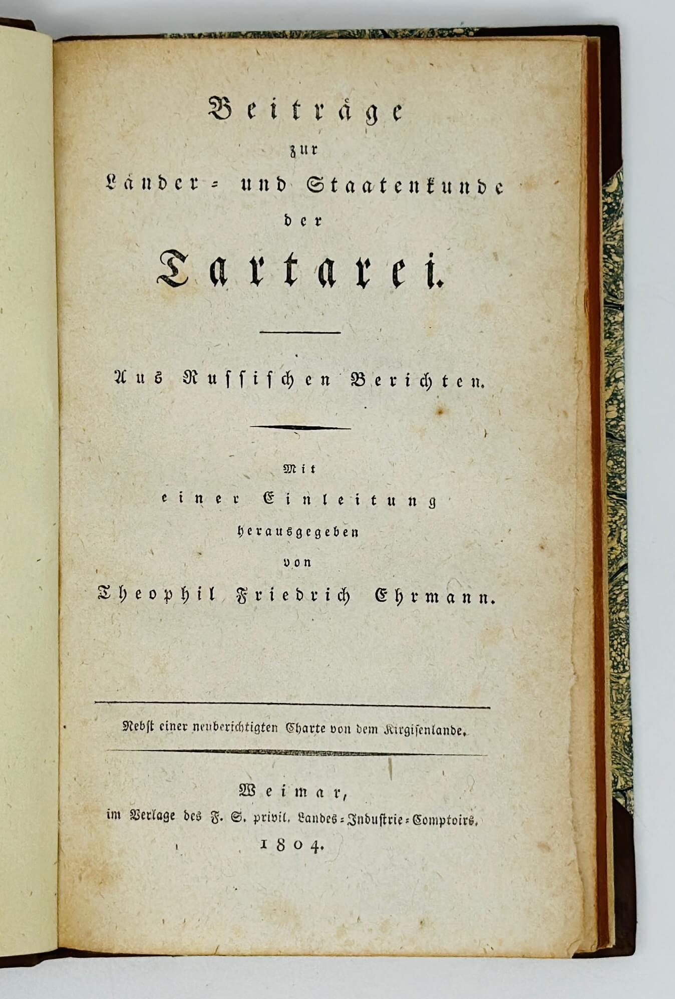
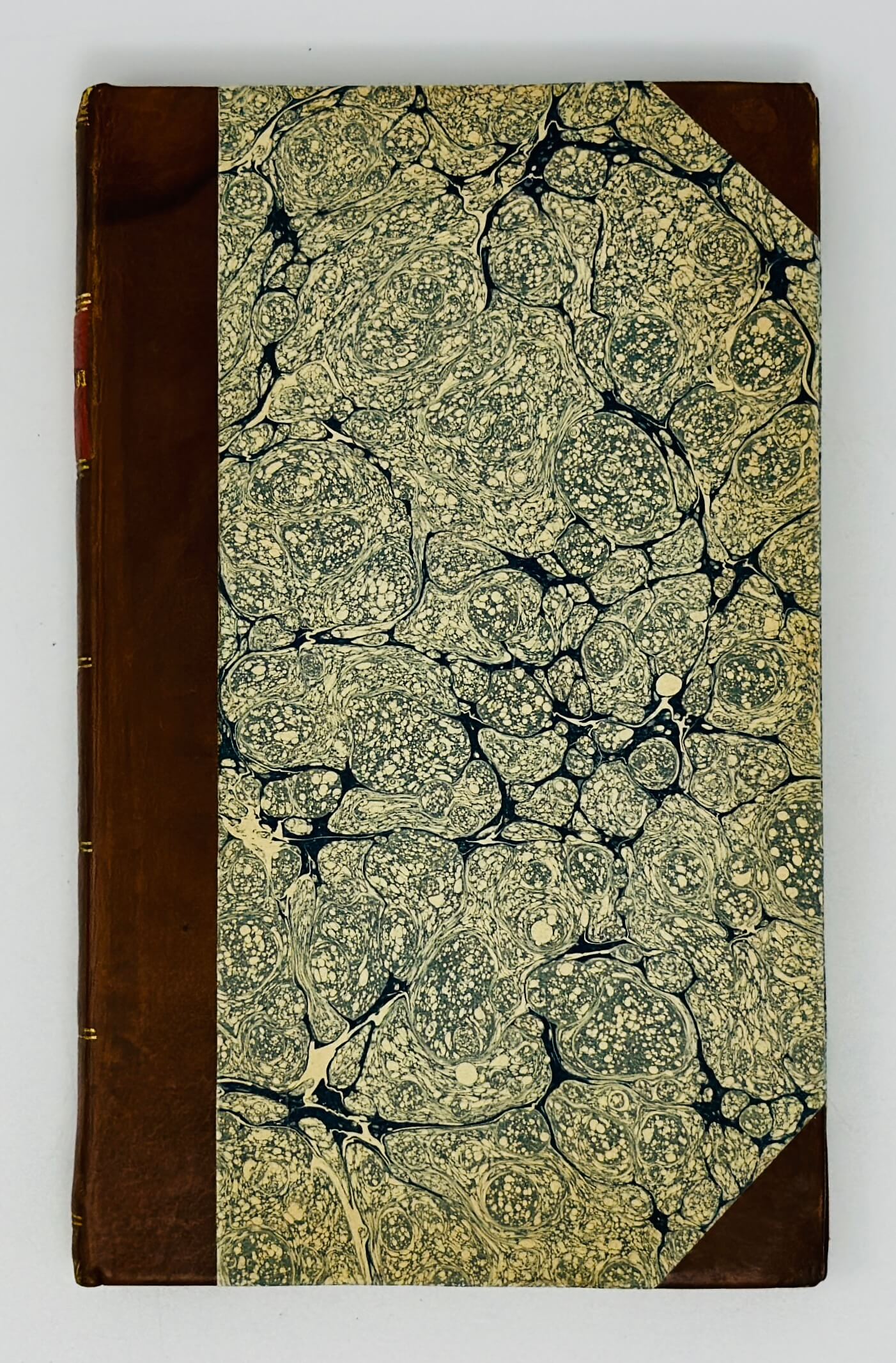
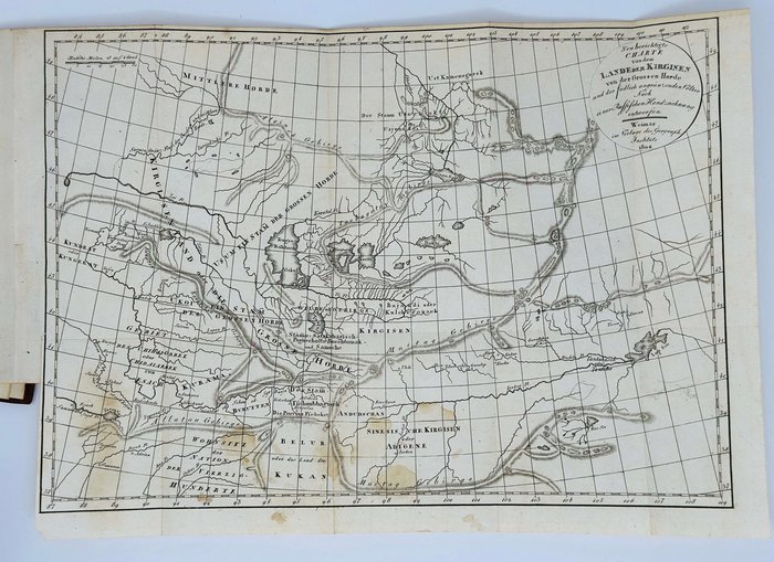
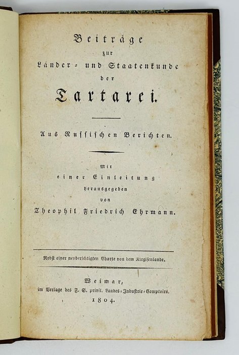
First Edition. Octavo. [2], xxviii, 90, [2] pp. With one folding engraved map. Period style brown half calf gilt tooled on the spine, with red gilt lettered morocco label. A very good copy.
Rare as only eleven copies found in Worldcat.
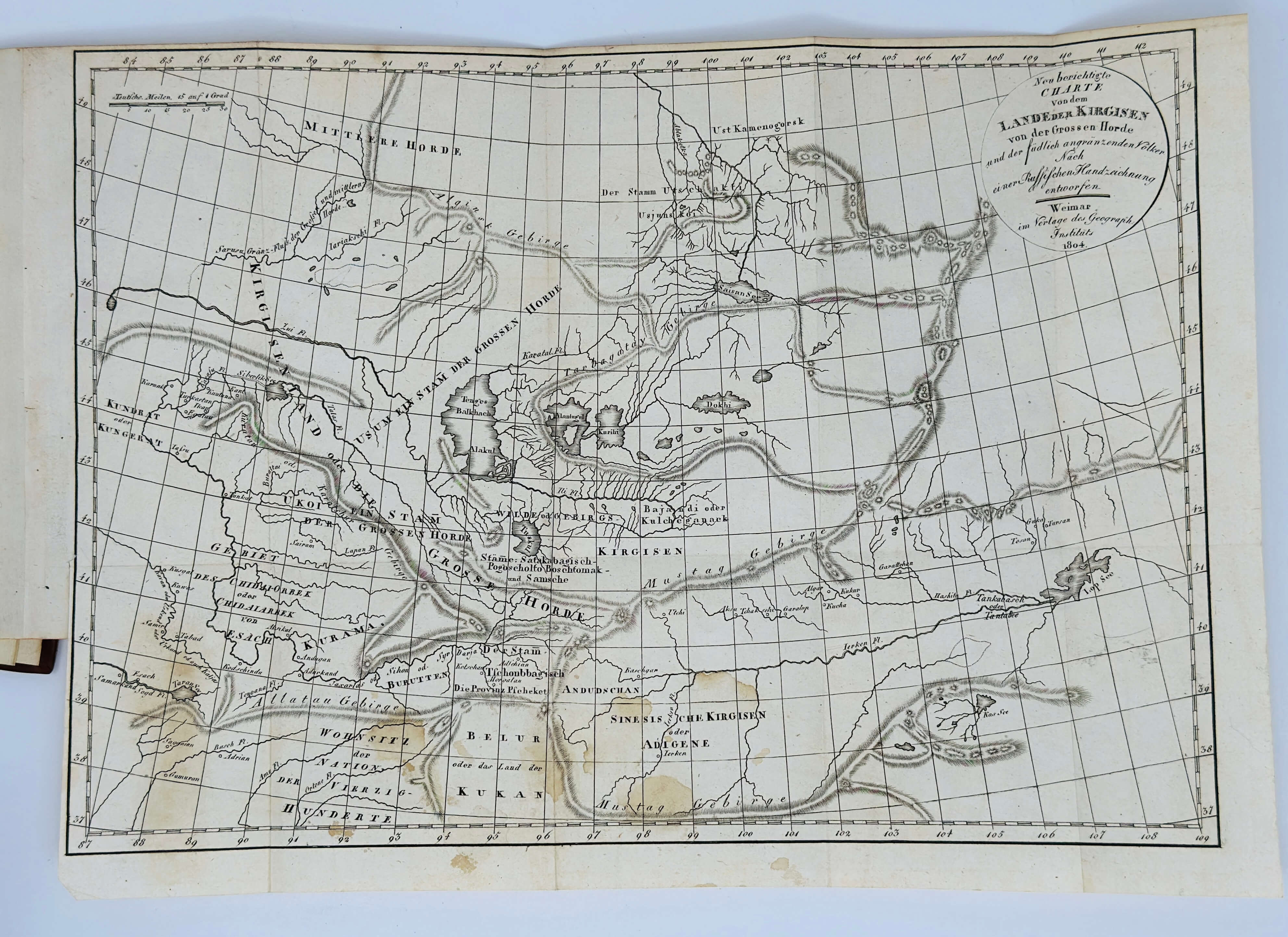
Interesting German account of travels of "the Lower Tartary:" Tashkent, Khiva and the lands of Kirghizes, hitherto little known to German readers. First part, dedicated to Tashkent and Khiva, was based on the articles in "Deutschen St. Petersburger Zeitung." This extensive and detailed sketch describes the government, economy, army, religion and customs of the cities, caravan routes from Orenburg to Khiva, the Caspian and Aral Seas, the Ural and Amu Darya rivers, regions of Karakalpakstan and Mangyshlak etc. The second part is about the Kirghizian steppes based on the travel account of D. Schneegass who was in Russian service as a collegiate assessor and was on his way to Japan and later to Australia. The map of the Kirghizian lands is published for the first time from the original drawing of a Russian General who gave it to Schneegass. According to Erhmann this map is more accurate, than the map of Asia by the famous English mapmaker Arrowsmith. The book is supplemented with the bibliography of the main works on the region compiled by Ehrmann. Initially it was published as a 14th part of a multi-volume geographical and scientific journal "Allgemeine Geographische Ephemeriden" (50 vols, 1798-1816).
Theophil Friedrich Ehrmann was a geographical writer who published several multi volume collections of travels translated from French, English and Dutch, including "History of the most remarkable journeys, which since the 12th Century, have been made on water and land" (13 vols, 1791-95), "New Country and Folklore, a geographical reading book for all levels" (11 vols, 1806-11), "Library of the latest and most important travel books (started by Matthias Sprengel; 43 vols, 1803-1811)" etc. (Deutsche Biographie on-line).

