#O50
1812
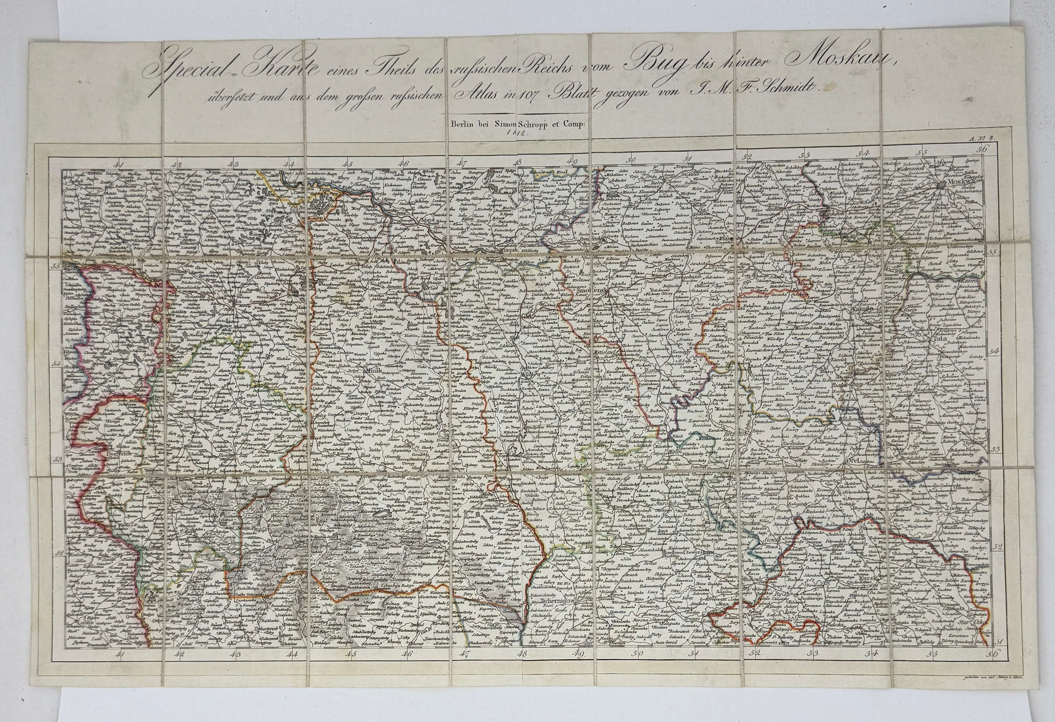
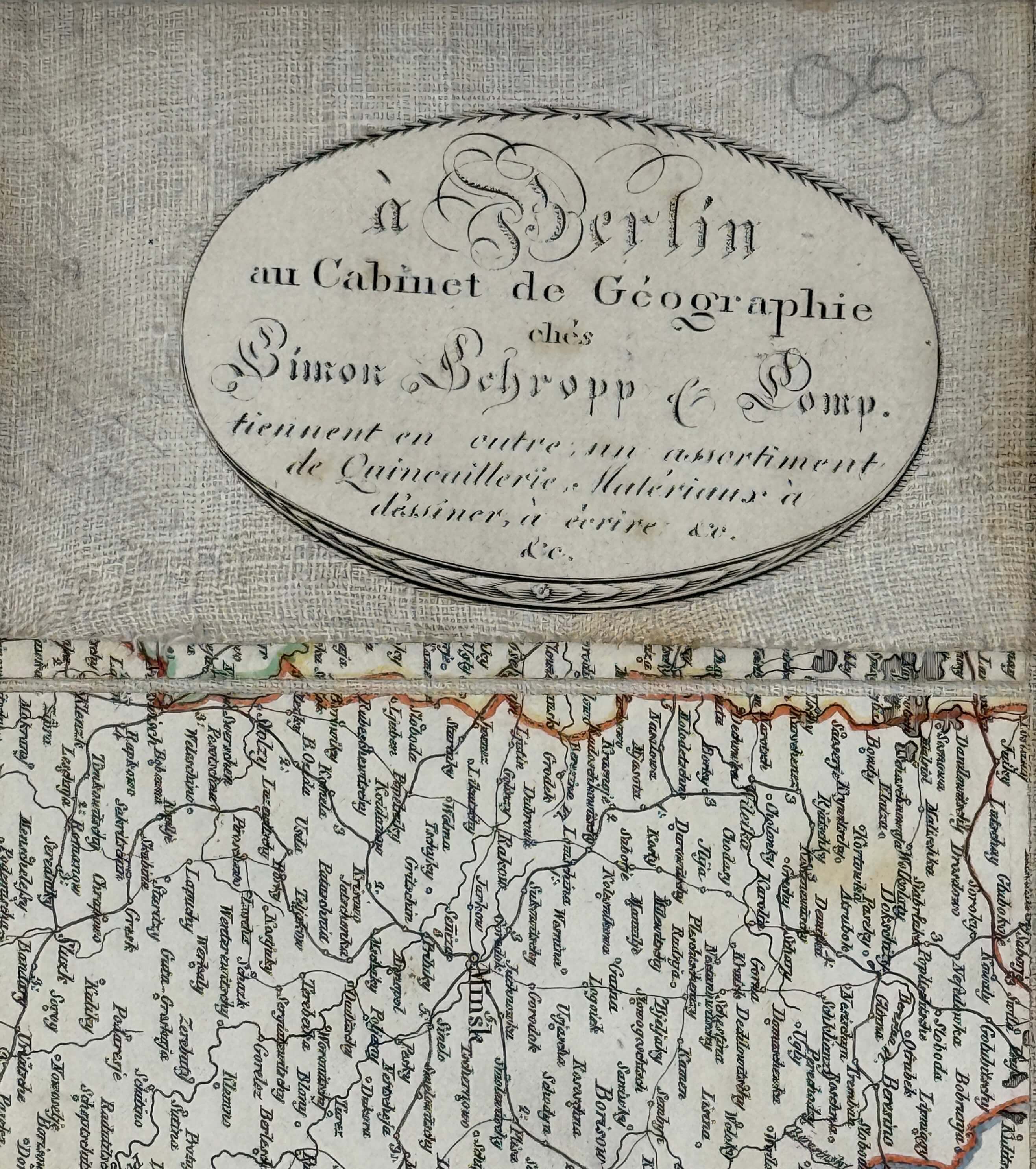
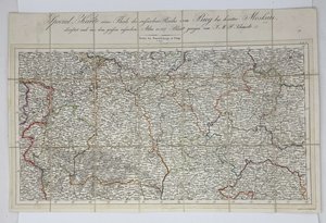
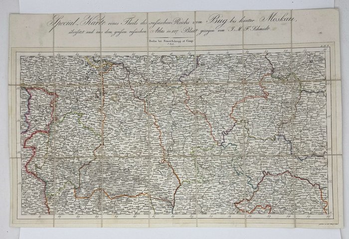
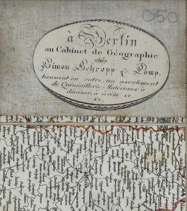
Outline hand coloured copper engraved folding map, dissected and linen backed, ca. 28x50,5 cm (11x20 in). Engraved by Carl Jättnig d. Ältern. With an elegant copper engraved publisher’s advertising pasted on the verso of the linen of one of the folds. Housed in the original marbled paper slipcase, slightly rubbed. Overall a bright very good map.
This detailed map of the western provinces of the Russian Empire including Lithuania, Belorussia, part of the Ukraine, and Kursk, Orel, Smolensk, Kaluga, Tula and Moscow provinces shows the theatre of operation of the 1812 French invasion of Russia. The copper engraved label on the linen back of the plan advertises “Magazin des beaux Arta et Cabinet de Géographie” – Kunst- und Landkarten Handlung von Simon Schropp u. Comp. (Jager Str., 24). Simon Schopp received a privilege for map publishing and trade in 1742 from the Prussian king Frederick II, and by the end of the 18th century became one of the major European map sellers. His company successfully worked through the centuries and is now one of the best Berlin map shops “Schropp Land & Karte GmbH”.

